By state
National parks in Oregon
Every national park and public-land unit in Oregon, scored and ranked by our Experience Score.
Oregon’s National Park Service units suit travelers ready to explore beyond a single well-known destination. The state changes dramatically from west to east. Crater Lake National Park is the primary attraction, a deep-blue volcanic caldera. Other NPS landscapes in Oregon are quieter and draw fewer crowds. The network is for self-directed adventurers. It includes wild and scenic rivers like the North Umpqua, and remote backcountry byways along Cow Creek and the Lower Deschutes. Vast high-desert expanses surround Steens Mountain, Lake Abert, and Abert Rim. These units loosely cluster. A wet western corridor features forested river corridors. A drier southeastern plateau offers stargazing, solitude, and open hiking. Oregon rewards those who value flexibility, accept some driving, and appreciate a sense of accomplishment upon arrival.
 100DOES IT ALL
Recreation.gov
100DOES IT ALL
Recreation.gov
Recreation Area · OR
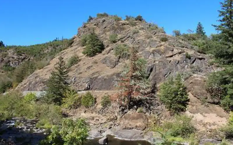
Cow Creek Back Country Byway
The Cow Creek Back Country Byway presents a 45-mile scenic drive through a creek canyon in southern Oregon, a legitimate multi-activity recreation corridor.
 93DOES IT ALL
Greg Shine, BLM
93DOES IT ALL
Greg Shine, BLM
Recreation Area · OR
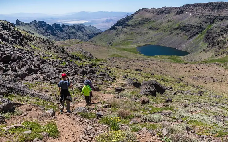
Steens Mountain Cooperative Management & Protection Area
Steens Mountain offers a genuinely remote and expansive recreation area, covering approximately 500,000 acres of high desert, fault-block mountain terrain, and glacier-carved gorges in southeastern Oregon.
 90DOES IT ALL
NPS Photo
90DOES IT ALL
NPS Photo
National Park · OR
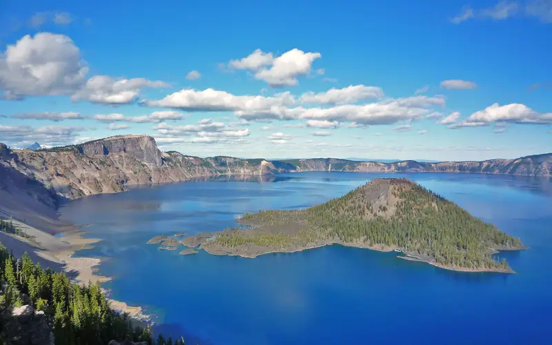
Crater Lake National Park
Crater Lake offers one of the most visually arresting experiences in the national park system.
 90DOES IT ALL
Bureau of Land Management
90DOES IT ALL
Bureau of Land Management
Recreation Area · OR
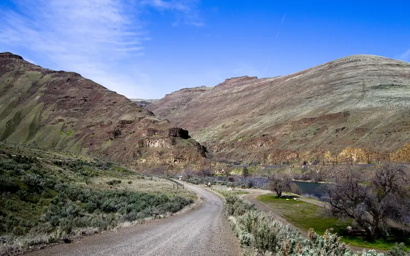
Lower Deschutes River Back Country Byway
The Lower Deschutes River Back Country Byway is a 32-mile corridor along a designated Wild and Scenic River in Oregon canyon country.
 83WIDE RANGE
NPS Photo
83WIDE RANGE
NPS Photo
National Historical Park · ID
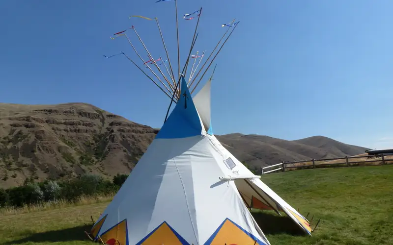
Nez Perce National Historical Park
Nez Perce National Historical Park is unlike almost any other NHP in the country: it is not a single bounded site but a constellation of 38 separate places scattered across four states in the inland Northwest, each tied to the history and living culture of the Nimíipuu people.
 83WIDE RANGE
Bob Wick, BLM
83WIDE RANGE
Bob Wick, BLM
Recreation Area · OR
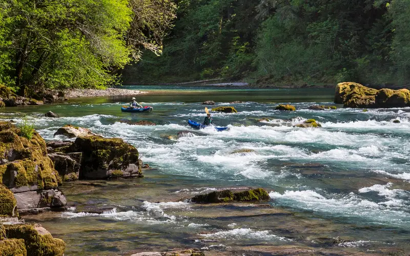
North Umpqua Wild and Scenic River
The North Umpqua Wild and Scenic River corridor in Oregon scores an 83 for its activity density, a true reflection of its offerings.
 82WIDE RANGE
BLM Oregon
82WIDE RANGE
BLM Oregon
Recreation Area · OR
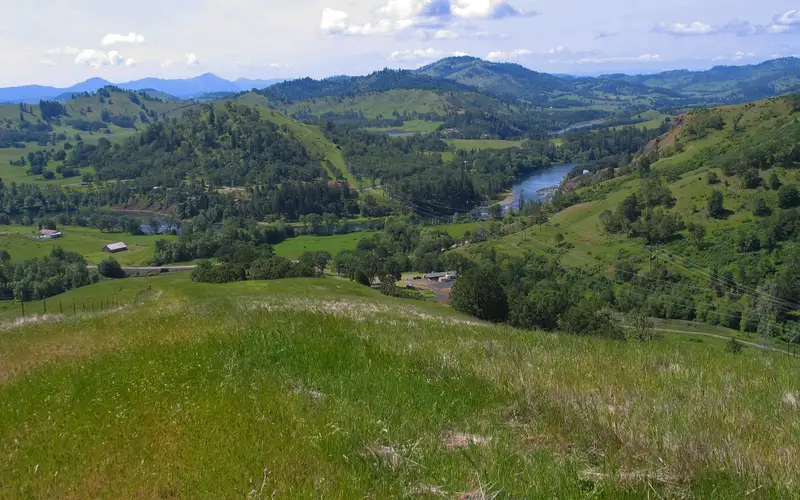
North Bank Habitat Management Area
North Bank Habitat Management Area presents a compelling, multi-use outdoor recreation opportunity in Oregon.
 79WIDE RANGE
Bureau of Land Management
79WIDE RANGE
Bureau of Land Management
Lake & Reservoir · OR
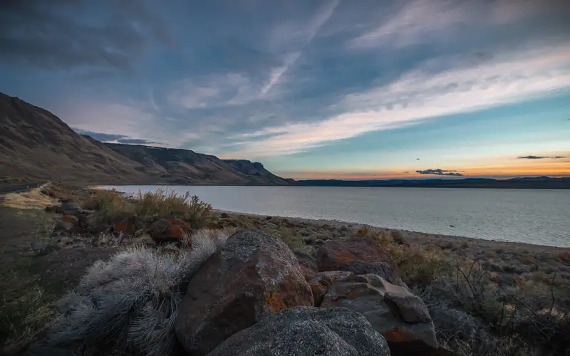
Lake Abert and Abert Rim
Lake Abert and Abert Rim presents a singularly dramatic landscape.
 78WIDE RANGE
NPS Photo
78WIDE RANGE
NPS Photo
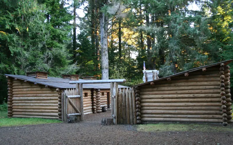
National Historical Park · OR
Lewis and Clark National Historical Park
Lewis and Clark National Historical Park offers a multi-layered experience.
 74WIDE RANGE
NPS Photo / Alex Wiles
74WIDE RANGE
NPS Photo / Alex Wiles
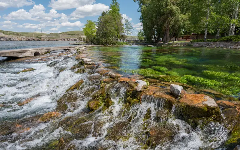
National Historic Trail · IA
Lewis & Clark National Historic Trail
The Lewis & Clark National Historic Trail presents a formidable undertaking.
 74WIDE RANGE
NPS
74WIDE RANGE
NPS
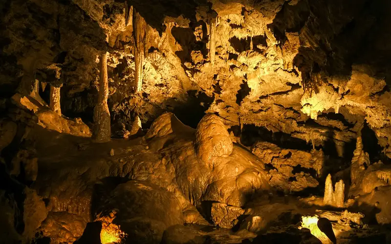
National Monument & Preserve · OR
Oregon Caves National Monument & Preserve
Oregon Caves National Monument & Preserve focuses on a singular subterranean experience.
 73WIDE RANGE
USACE
73WIDE RANGE
USACE
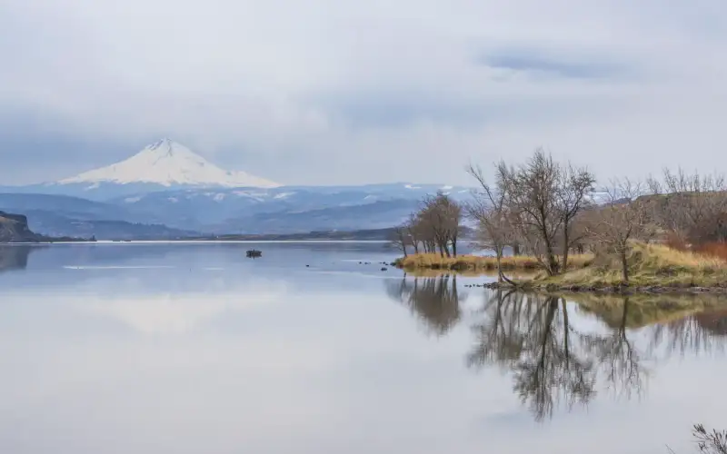
Lake & Reservoir · OR
The Dalles Lock and Dam, Lake Celilo
The Dalles Lock and Dam, a Corps of Engineers recreation area, sits two miles east of The Dalles, Oregon.
 72WIDE RANGE
Bureau of Land Management
72WIDE RANGE
Bureau of Land Management
Recreation Area · OR
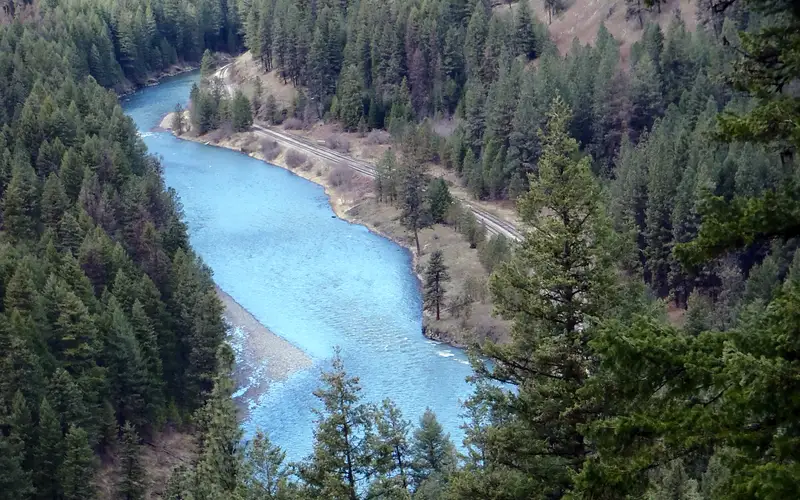
Wallowa & Grande Ronde Wild and Scenic Rivers
This river corridor recreation area, comprising 90 miles of federally protected wild and scenic river, offers a distinct experience.
 70WIDE RANGE
USACE
70WIDE RANGE
USACE
Lake & Reservoir · OR
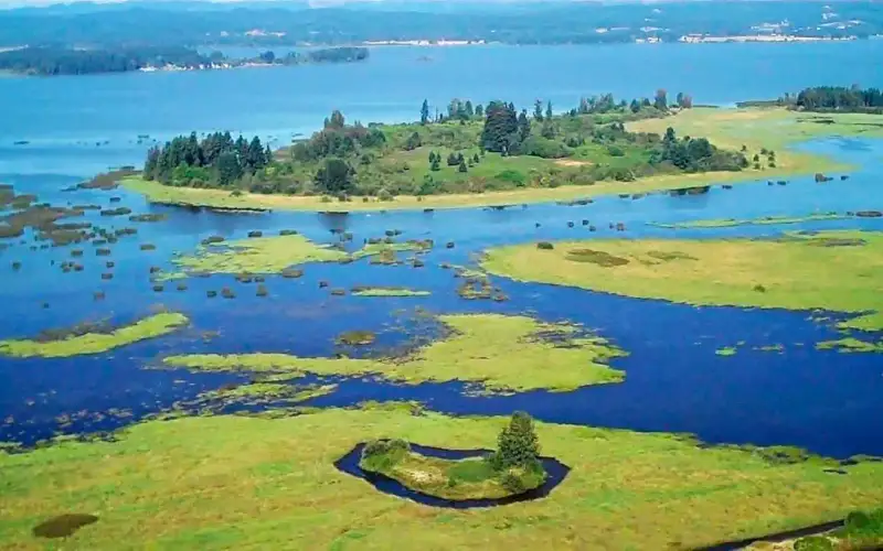
Fern Ridge Lake
Fern Ridge Lake is a working reservoir and a recreation hub outside Eugene, Oregon.
 69GOOD RANGE
Greg Shine, BLM
69GOOD RANGE
Greg Shine, BLM
Recreation Area · OR
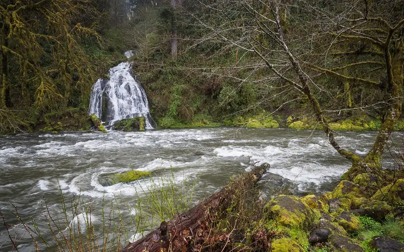
Nestucca River Recreation Area
The Nestucca River Recreation Area, a BLM-managed stretch within Oregon's Coast Range, provides a low-key outdoor experience.
 68GOOD RANGE
USACE
68GOOD RANGE
USACE
Lake & Reservoir · OR
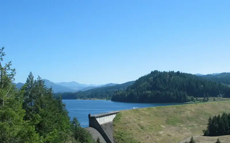
Dorena Lake
Dorena Lake, managed by the U.S.
 68GOOD RANGE
USACE
68GOOD RANGE
USACE
Lake & Reservoir · OR
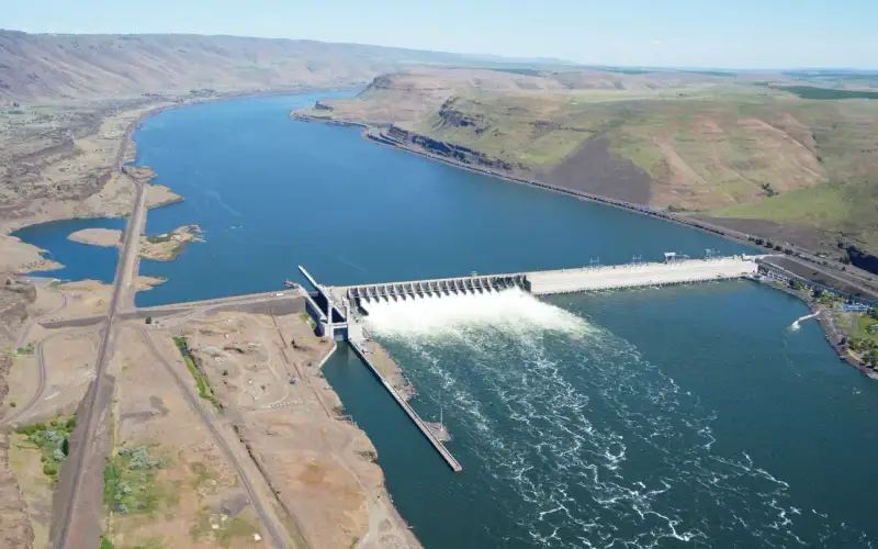
John Day Lock and Dam, Lake Umatilla
Lake Umatilla, formed by the John Day Lock and Dam, offers a distinct recreational experience on the Columbia River in north-central Oregon.
 67GOOD RANGE
Recreation.gov
67GOOD RANGE
Recreation.gov
Recreation Area · OR
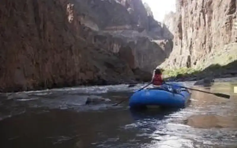
Owyhee Wild & Scenic River
The Owyhee Wild and Scenic River offers 120 miles of remote canyonland in southeastern Oregon.
 66GOOD RANGE
NPS Photo / Troy Wayrynen
66GOOD RANGE
NPS Photo / Troy Wayrynen
National Historic Site · OR
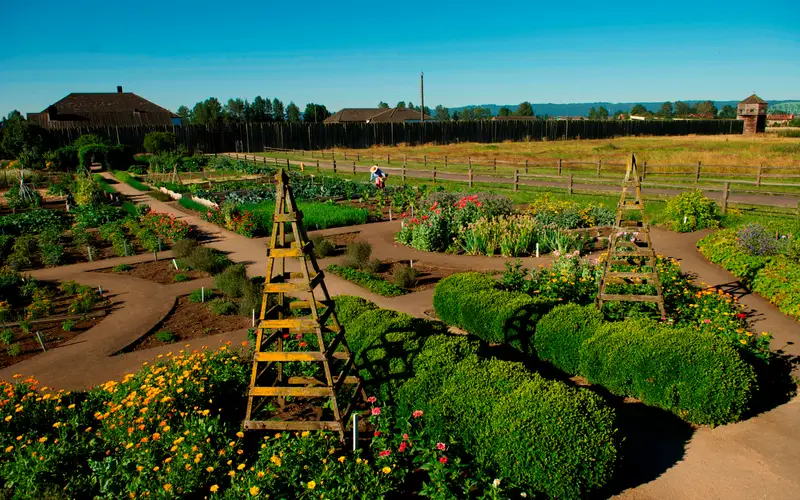
Fort Vancouver National Historic Site
Fort Vancouver National Historic Site offers a genuinely engaging historical experience, focusing on the fur trade and early American Pacific Northwest settlement.
 66GOOD RANGE
Bob Wick, BLM
66GOOD RANGE
Bob Wick, BLM
Recreation Area · OR
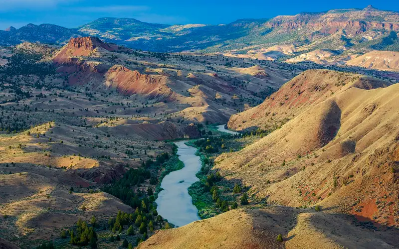
John Day Wild and Scenic River
The John Day Wild and Scenic River scores a 66, marking it as an outdoor destination for a specific demographic.
 65GOOD RANGE
Bureau of Land Management
65GOOD RANGE
Bureau of Land Management
Wilderness Area · OR
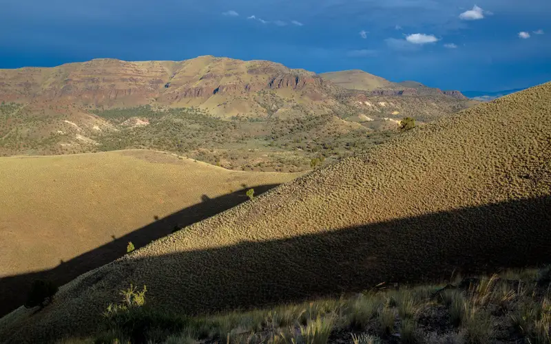
Sutton Mountain and Pat's Cabin Wilderness Study Areas
Sutton Mountain and Pat's Cabin, a high desert wilderness in Wheeler County, Oregon, offers a summit panorama encompassing the Painted Hills from Jefferson to Adams.
 64GOOD RANGE
BLM
64GOOD RANGE
BLM
Recreation Area · OR
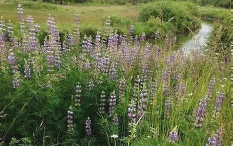
West Eugene Wetlands
West Eugene Wetlands offers an accessible urban escape.
 62GOOD RANGE
NPS Photo
62GOOD RANGE
NPS Photo
National Historic Trail · CA
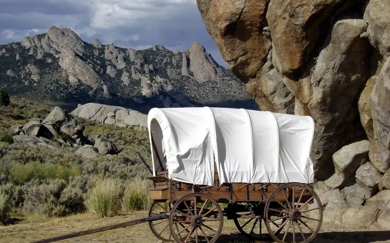
California National Historic Trail
The California National Historic Trail is not a single park you drive to - it is a sprawling 5,000-plus-mile corridor threading through ten states, tracing the routes of more than 250,000 Gold Rush-era emigrants who headed west in the 1840s and 1850s.
 62GOOD RANGE
Recreation.gov
62GOOD RANGE
Recreation.gov
Recreation Area · OR
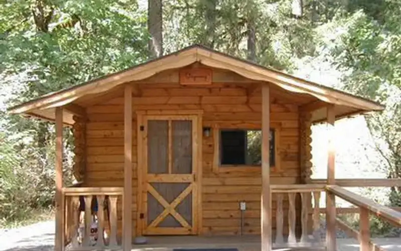
Fishermen's Bend Recreation Area
Fishermen's Bend offers a straightforward experience as a river campground on the North Santiam in Oregon.
 62GOOD RANGE
NPS photo
62GOOD RANGE
NPS photo
National Historic Trail · ID
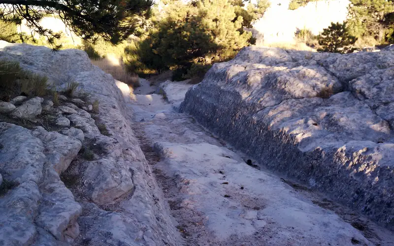
Oregon National Historic Trail
The Oregon National Historic Trail spans over 2,000 miles across six states, encompassing public lands, private property, urban areas, and wilderness.
 60GOOD RANGE
Bureau of Land Management
60GOOD RANGE
Bureau of Land Management
Recreation Area · OR
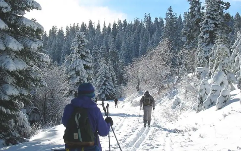
Buck Prairie Nordic Trail System
Buck Prairie presents a well-rounded winter recreation area in an overlooked corner of Oregon.
 60GOOD RANGE
Bureau of Land Management
60GOOD RANGE
Bureau of Land Management
Recreation Area · OR
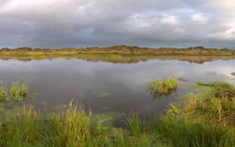
New River Area of Critical Environmental Concern
New River ACEC delivers a subdued coastal Oregon refuge, prioritizing environmental preservation over visitor spectacle.
 59GOOD RANGE
Greg Shine, BLM Oregon
59GOOD RANGE
Greg Shine, BLM Oregon
Recreation Area · OR
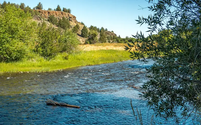
Donner und Blitzen Wild and Scenic River
The Donner und Blitzen River is for the prepared and patient.
 59GOOD RANGE
Bureau of Land Management
59GOOD RANGE
Bureau of Land Management
Recreation Area · OR
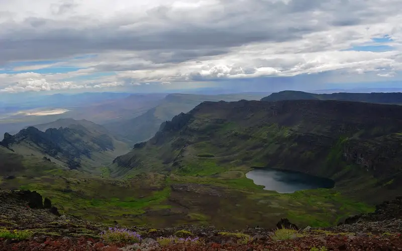
Wildhorse Creek Wild and Scenic River
Wildhorse Creek presents a genuinely remote Oregon high-desert experience, centered on Wildhorse Lake and the Steens Mountain rim.
 58GOOD RANGE
USACE
58GOOD RANGE
USACE
Lake & Reservoir · OR
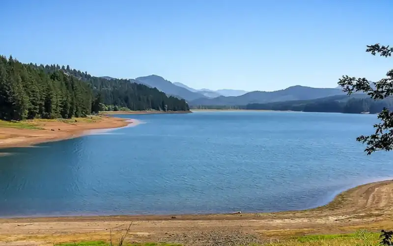
Cottage Grove Lake
Cottage Grove Lake presents a solid option for a relaxed outing in the Willamette Valley.
 58GOOD RANGE
Greg Shine, BLM
58GOOD RANGE
Greg Shine, BLM
Recreation Area · OR
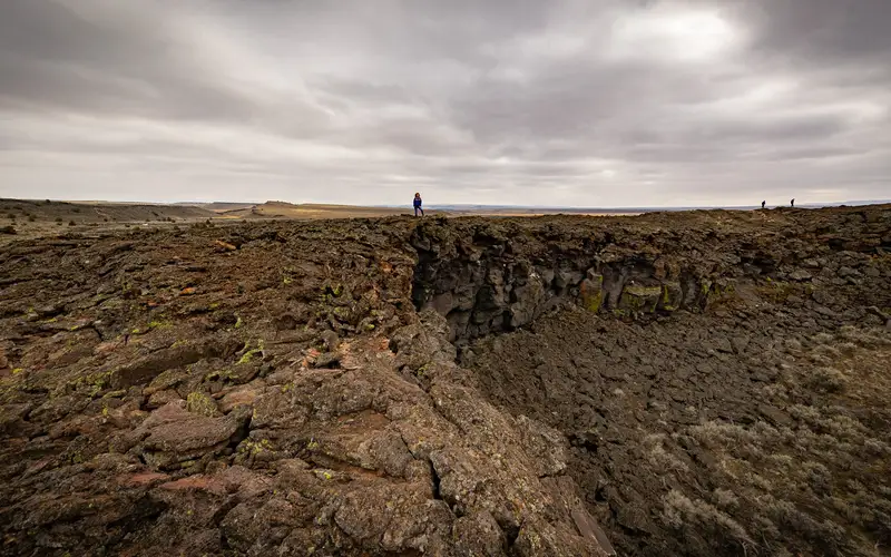
Diamond Craters Outstanding Natural Area
Diamond Craters presents a striking concentration of basaltic features across 17,000 acres of high desert Oregon.
 56GOOD RANGE
George Gentry/USFWS
56GOOD RANGE
George Gentry/USFWS
National Wildlife Refuge · OR
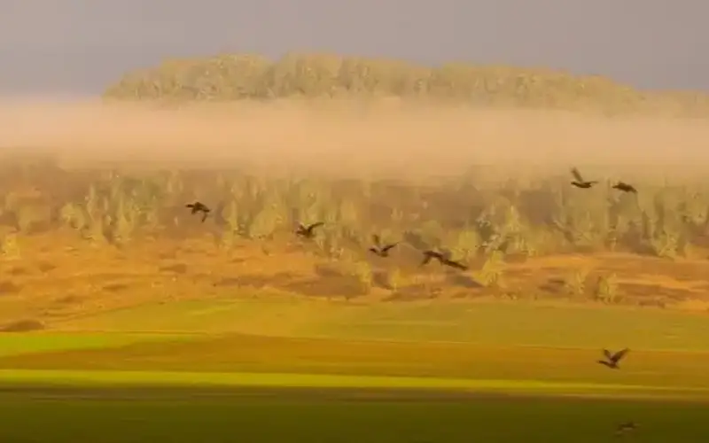
William L. Finley National Wildlife Refuge
Finley National Wildlife Refuge, positioned south of Corvallis, presents a compelling mix of wetlands and oak savanna.
 55GOOD RANGE
Bob Wick, BLM
55GOOD RANGE
Bob Wick, BLM
Recreation Area · OR
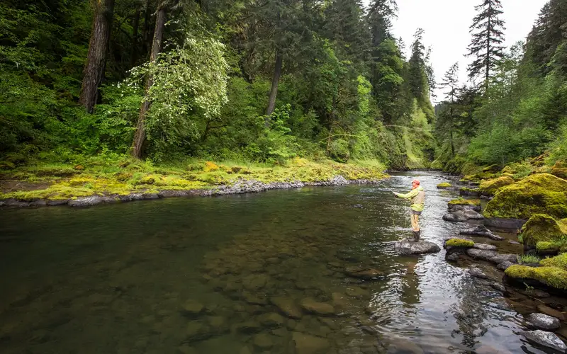
Molalla
Molalla offers an honest, outdoor simplicity.
 55GOOD RANGE
Bureau of Land Management
55GOOD RANGE
Bureau of Land Management
Recreation Area · OR
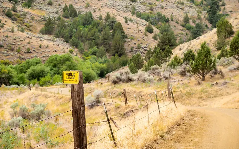
Snake River-Mormon Basin Back Country Byway
This 150-mile backcountry byway through eastern Oregon's Baker and Malheur counties offers a slow-travel experience, not a highlights reel.
 53FOCUSED
Bob Wick, BLM
53FOCUSED
Bob Wick, BLM
Recreation Area · OR
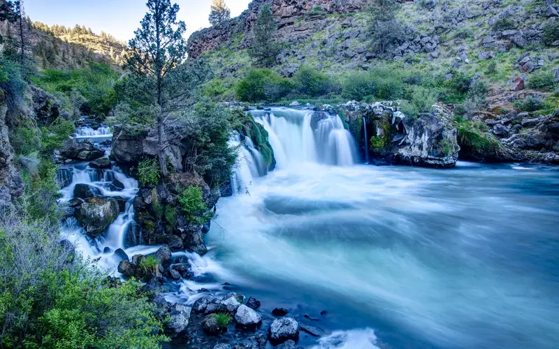
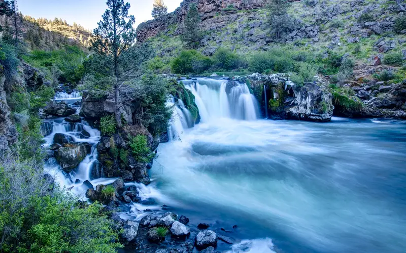
Steelhead Falls Trail
This half-mile trail offers a genuine canyon waterfall experience on the Deschutes River.
 52FOCUSED
Share the Experience, Chloe Abbott-Phillips
52FOCUSED
Share the Experience, Chloe Abbott-Phillips
National Wildlife Refuge · OR
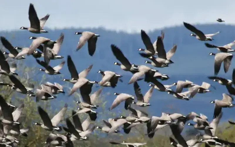
Bandon Marsh National Wildlife Refuge
Bandon Marsh is a specialist's refuge.
 50FOCUSED
Joseph Sands/USFWS
50FOCUSED
Joseph Sands/USFWS
National Wildlife Refuge · OR
Baskett Slough National Wildlife Refuge
Baskett Slough National Wildlife Refuge offers a purposeful experience focused on habitat conservation.
 50FOCUSED
Recreation.gov
50FOCUSED
Recreation.gov
Recreation Area · OR
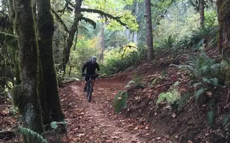
Carpenter Bypass Trail System
Carpenter Bypass offers a 19-mile network optimized for mountain biking.
 48FOCUSED
Bob Wick, BLM
48FOCUSED
Bob Wick, BLM
Recreation Area · OR
Middle Deschutes Wild and Scenic River
This compact wild and scenic river corridor offers disproportionate rewards for its size, particularly for visitors near Redmond, Oregon.
 48FOCUSED
Greg Shine, BLM
48FOCUSED
Greg Shine, BLM
Recreation Area · OR
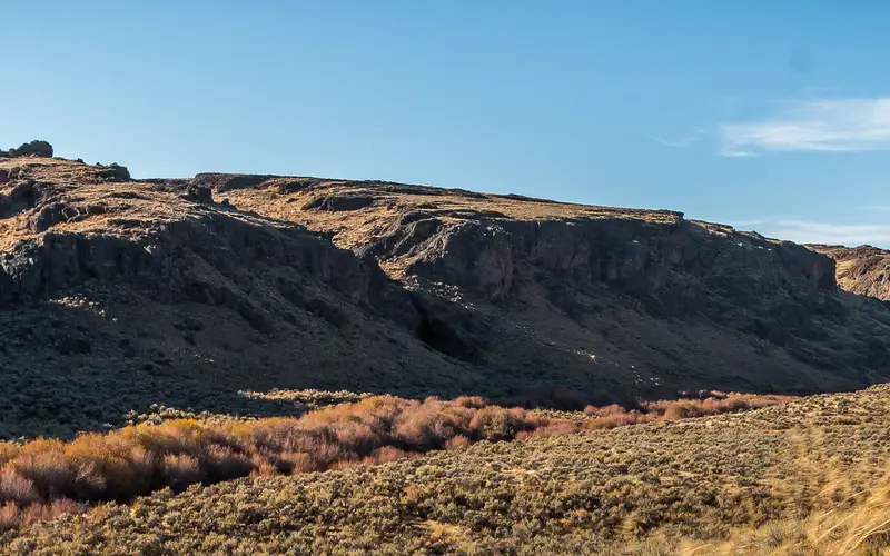
West Little Owyhee Wild and Scenic River
West Little Owyhee is not a unit for casual exploration.
 47FOCUSED
Bureau of Land Management
47FOCUSED
Bureau of Land Management
Recreation Area · OR
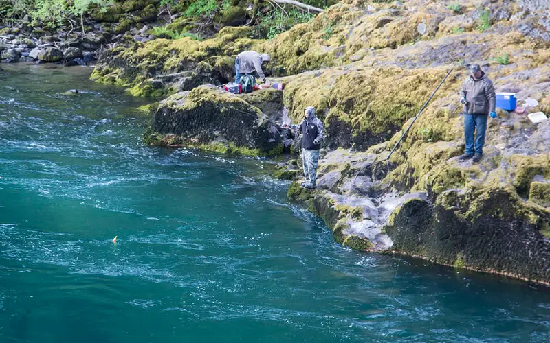
Swiftwater Day-Use Area
Swiftwater Day-Use Area delivers a singular experience on Oregon's North Umpqua Wild and Scenic River.
 46FOCUSED
Greg Shine, BLM
46FOCUSED
Greg Shine, BLM
Recreation Area · OR
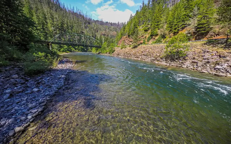
Clackamas Wild and Scenic River
The Clackamas, a 47-mile river corridor, offers a distinct experience within Mt.
 46FOCUSED
NPS Photo / Sue Anderson
46FOCUSED
NPS Photo / Sue Anderson
National Monument · OR
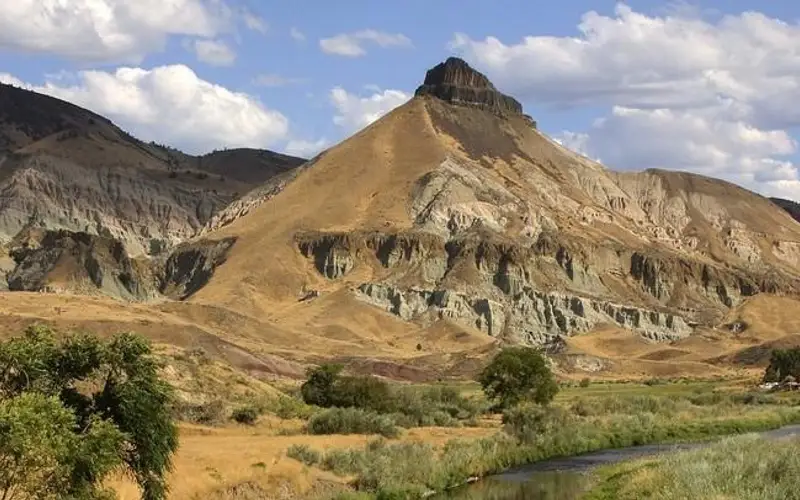
John Day Fossil Beds National Monument
John Day Fossil Beds National Monument offers one of the world's richest paleontological records.
 46FOCUSED
South Slough National Estuarine Research Reserve
46FOCUSED
South Slough National Estuarine Research Reserve
Recreation Area · OR
South Slough National Estuarine Research Reserve
South Slough offers an undervisited slice of Oregon coast ecology.
 46FOCUSED
A. Uhen/BLM
46FOCUSED
A. Uhen/BLM
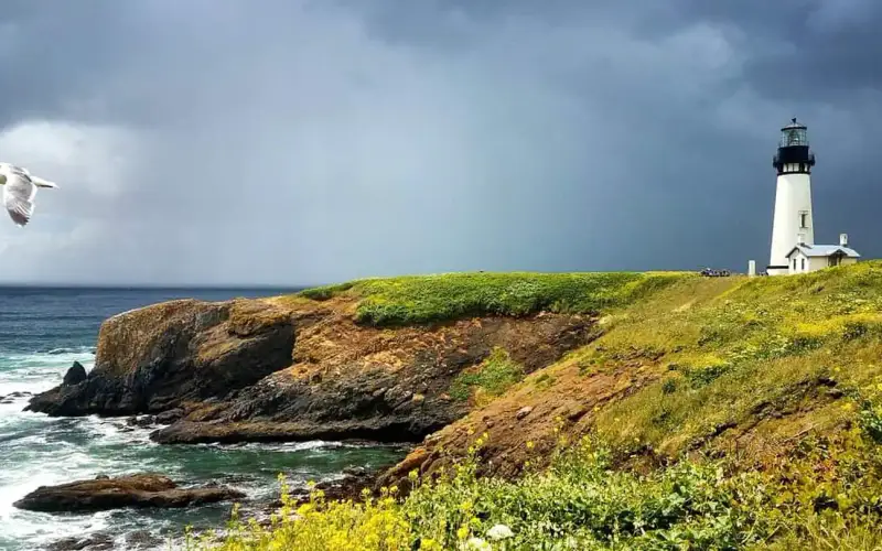
Recreation Area · OR
Yaquina Head Outstanding Natural Area
Yaquina Head offers a focused experience that belies its modest size.
How the Oregon order is set
These 45 Oregon units are ranked by one number, run identically nationwide: the Experience Score, built only from public records on documented breadth and access. It says nothing about scenery or how busy a place gets. Same formula everywhere, so a Oregon park and a desert one are read on the same terms.
Keep the blind spots in mind: scenery, seasonal crowds, trail conditions and program quality are all outside this score. A quiet, single-focus spot can land low and still win the weekend. The ranking is a fair look at what is documented, not a ruling on which Oregon park you will love.