589 units scored Refreshed on a schedule Independent, no sponsored rankings
Recreation AreaOR
Snake River-Mormon Basin Back Country Byway
NPS / Bureau of Land Management
55/ 100GOOD RANGE
parkverdict Experience ScoreIndependent, not sponsored
55 of 100. Our independent breadth-and-access index. How we score
The bottom line
Snake River-Mormon Basin Back Country Byway: our verdict
This 150-mile backcountry byway through eastern Oregon's Baker and Malheur counties offers a slow-travel experience, not a highlights reel.
The geological drama of the Snake River Canyon above Brownlee Reservoir impresses, with steep canyons and massive basaltic outcrops transitioning to softer sedimentary rock near Huntington. The pastoral rangelands in between feel genuinely remote. Free entry and dispersed camping make it a true budget adventure. This is primarily a high-clearance road trip, not a recreation destination with extensive facilities. Visitors expecting trailhead infrastructure or ranger programming will note the 55-out-of-100 experience score. Casual sightseers should look elsewhere.
Who it suits
This park rewards a specific kind of visitor. Those with high-clearance vehicles will access its full breadth. Wide-open rangeland, diverse geology, and historic rural hamlets define the landscape. Wildlife viewing is opportunistic; guaranteed sightings are not the norm. Day-hikers and families seeking structured activities will find limited options. This is a destination for independent exploration and appreciation of expansive, untamed spaces.
What stands out
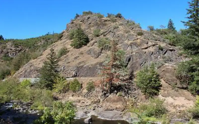
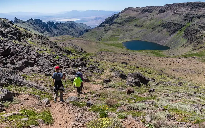
Snake River Canyon views above Brownlee Reservoir, where basaltic cliffs show dramatic color layering
Free dispersed camping across genuinely remote backcountry terrain in eastern Oregon
Historic hamlet of Huntington anchoring the southern stretch with cultural context
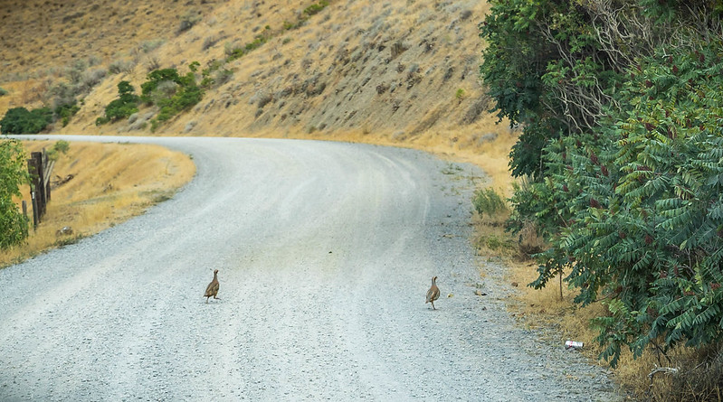
Wildlife viewing across open rangeland where sightings reward patient, unhurried driving
Insider tipA high-clearance two-wheel-drive vehicle is a requirement, not a suggestion. Check road conditions with the Vale BLM District before travel; sections can be impassable after wet weather, particularly in spring.
How we scored it
Why Snake River-Mormon Basin Back Country Byway scores 55
We keep the math boring on purpose. The same handful of public-data inputs, capped so none of them dominates, decide every score. What they measure is breadth and access, not beauty and not crowd levels. For Snake River-Mormon Basin Back Country Byway, they shook out like this:
Activity breadth5 documented activities
Topic breadth0 topics
Official imagery2 public-domain images
Camping on sitedocumented
Entry costfree
No number is hand-adjusted and no unit pays for placement. The full weights, the floor at 18 and a worked example are on how we score.
The honest limits
Where the score goes quiet
One limit to keep in mind. Everything here comes from public records on what a unit documents and how reachable it is, so the score cannot judge beauty, crowds, trail conditions, weather, or how good any single program is. That is exactly why a small, specific place can score below a sprawling park and still be your better trip. Take the number as a like-for-like look at what is on paper, and lean on the verdict for the human read.
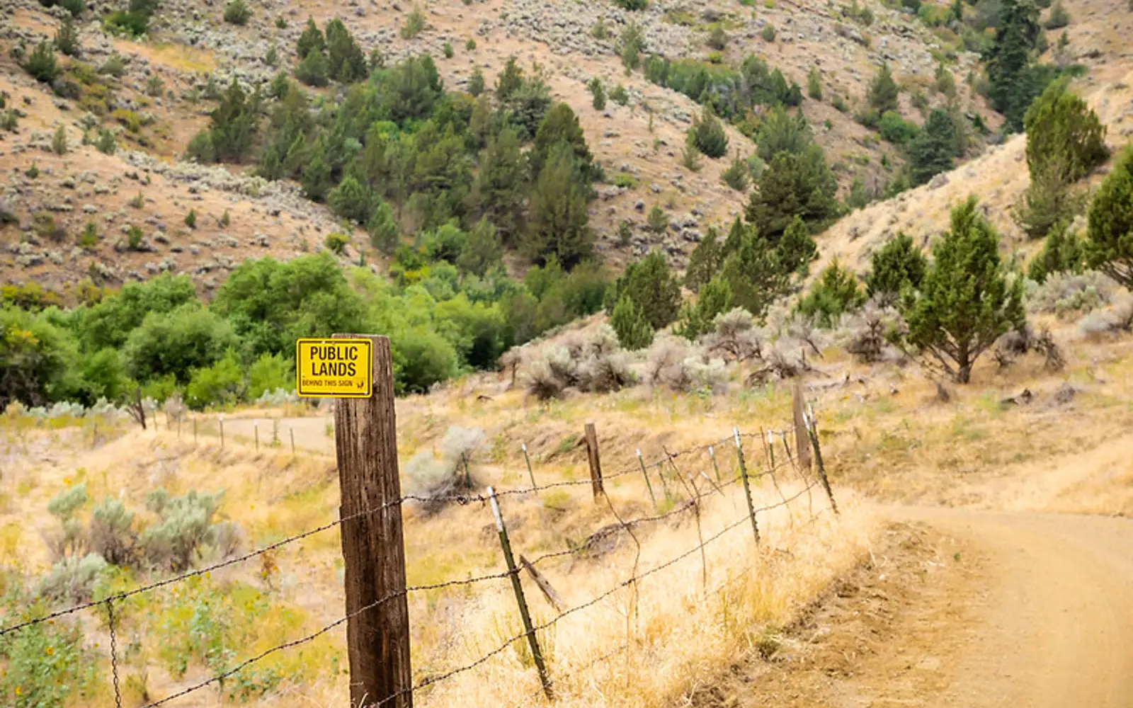
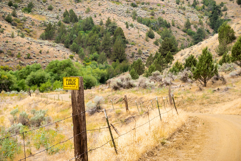
The 150-mile Snake River-Mormon Basin Back Country Byway runs through Baker and Malheur counties in eastern Oregon. This byway is suitable for high-clearance two-wheel drive vehicles. It offers views of steep canyons, prominent cliffs, and large rock outcrops.
The Snake River Canyon, located high above Brownlee Reservoir, shows striking color variations. Large basaltic rock outcrops appear above the Snake River Road until it reaches the reservoir. From there down to Huntington, metamorphic and sedimentary rock dominates. High, light green hills are visible, with many wildflowers in the spring.
Other natural features include sagebrush plateaus and lush riparian vegetation along waterways. Historic wagon roads cross the area. Ranching, mining, logging, and homesteading took place here in the late 1800s.
The byway includes remote paved, gravel, and earthen surface roads. Plan trips carefully after weather events or during winter. Recreation options include the Virtue Flats OHV area, fishing, boating, swimming, and water-skiing in the Brownlee Reservoir. Wildflower photography is also possible.
On documented breadth and access, Snake River-Mormon Basin Back Country Byway ranks 34th of 45 park and public-land units we score in Oregon.
Snake River-Mormon Basin Back Country Byway: quick answers
Is Snake River-Mormon Basin Back Country Byway worth visiting?
This 150-mile backcountry byway through eastern Oregon's Baker and Malheur counties offers a slow-travel experience, not a highlights reel.
Is Snake River-Mormon Basin Back Country Byway free to visit?
It is free to get in.
What is Snake River-Mormon Basin Back Country Byway best for?
It leans hardest toward camping, wildlife watching, going by the 5 activities it actually documents.
How is the Experience Score for Snake River-Mormon Basin Back Country Byway calculated?
The 55 comes straight from public data on how much the place documents and how easy it is to reach, things like activities, topics, photos, camping and whether entry is free. It says nothing about scenery or how busy it gets.
Reviewed by Irene A. Taranina, founding editor/Checked against official public data/Published /Updated /Independent, no sponsored rankings
parkverdict is an independent digital publication. Not affiliated with the National Park Service.