Is Lake Abert and Abert Rim worth your trip?
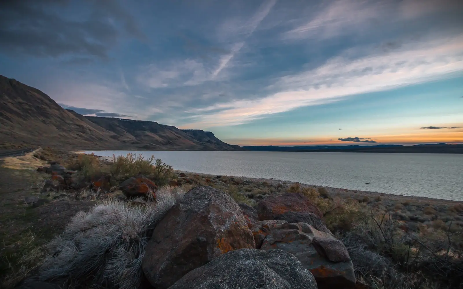
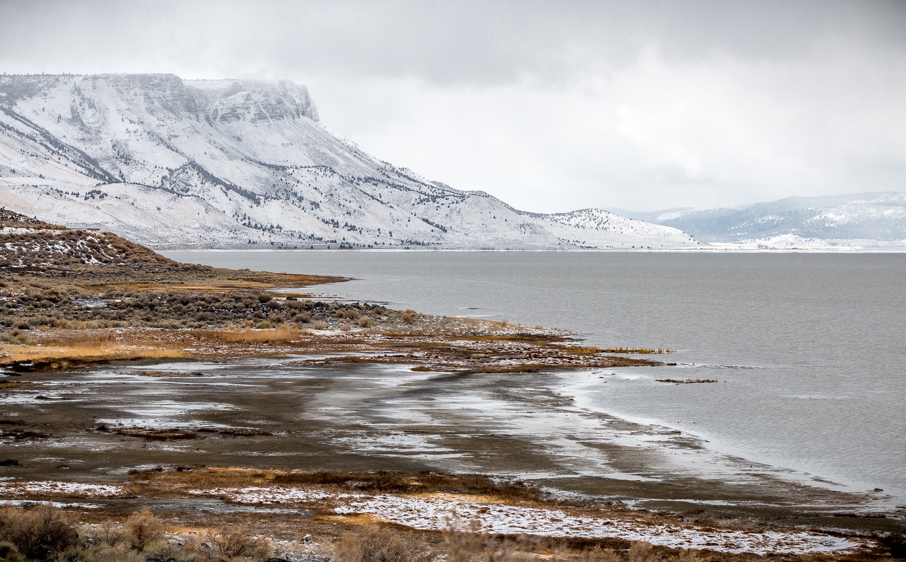
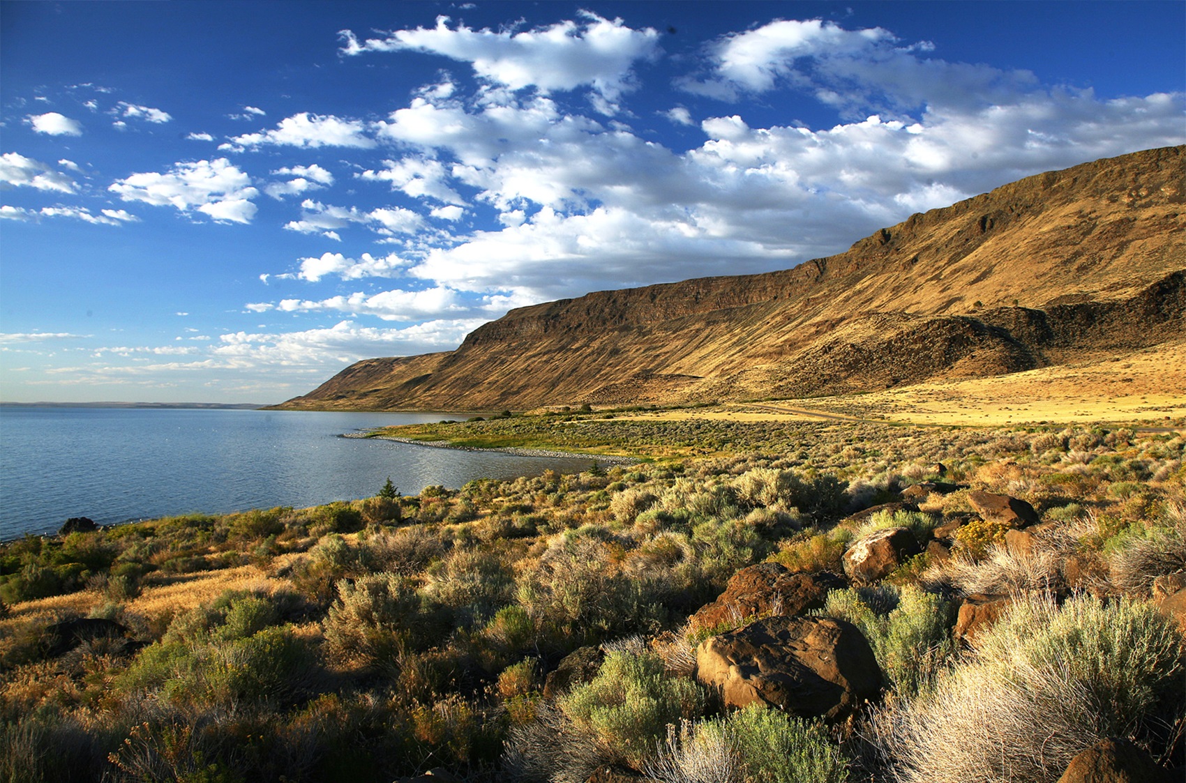
Lake Abert and Abert Rim presents a singularly dramatic landscape.
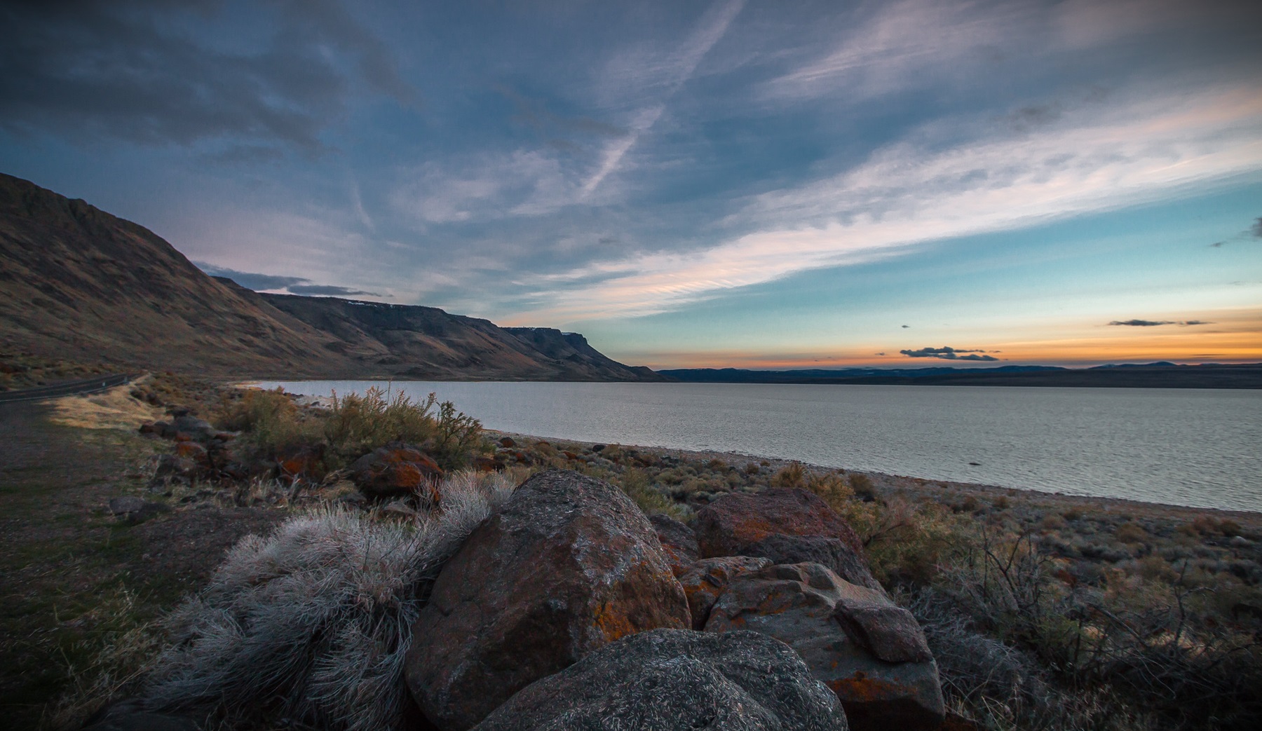
The central feature is a 2,500-foot fault scarp, the longest exposed fault scarp in North America, towering over Oregon's sole saltwater lake. This is not a destination for casual tourism; it lacks paved roads and visitor centers. This segment of eastern Oregon basin-and-range country demands self-reliance. Its appeal lies in its raw, immense scale, directly accessible from U.S. Route 395. The saltwater lake attracts significant migratory bird populations. Overheads skies offer exceptional stargazing opportunities. With an experience score of 79, the site supports hiking, paddling, dispersed camping, stargazing, and wildlife viewing. However, this breadth comes without infrastructure: no restrooms, no water, and no services are available. This absence of amenities serves the self-sufficient visitor. Others must prepare thoroughly.
Why go
This park unit delivers primarily on its stark geology. The visible fault scarp is the dominant feature, best viewed from a rim trail or from the lake itself. The saltwater lake draws numerous migratory waterfowl; a patient birder will find ample reward. Paddling offers an unmatched perspective on the scarp. Dispersed camping is available without reservation. The lack of light pollution provides extraordinary stargazing opportunities. For a profound experience of geology, solitude, and celestial observation, this destination offers a singular weekend.
Best for
This destination caters to the self-sufficient. Its appeal lies in specific, significant draws: geology enthusiasts will find fault scarp tectonics presented on an almost unbelievable scale. Birders can expect abundant migratory waterfowl. Photographers will appreciate the wide-open eastern Oregon light. Paddlers and stargazers are also well-served. However, those seeking extensive amenities, a marked trail system, or a structured visitor experience should consider other options.
Best season
Spring and fall stand out for wildlife viewing, with migratory birds abundant at the saltwater lake. Summer provides long days for hiking and paddling, though eastern Oregon's heat can be extreme. Winter access on Route 395 remains open, but conditions prove harsh without shelter. For a balanced experience, fall offers comfortable temperatures, peak bird activity, and exceptional night-sky clarity.
The high points
- Standing beneath the longest exposed fault scarp in North America, rising 2,500 feet above the lakebed
- Migratory waterfowl concentrations on Oregon's only saltwater lake
- Paddling or canoeing the lake with the rim as a backdrop
- Dispersed camping with no reservation required and no crowds
- Stargazing under genuinely dark eastern Oregon skies
- Photography of basin-and-range geology at a scale rarely seen in the lower 48
Know before you go
This destination is accessible year-round without an entrance fee, directly off U.S. Route 395. Numerous pullouts facilitate access. Travelers should note the complete absence of amenities on-site. No restrooms are available. There is no drinking water. Food, gas, and lodging are not provided. The nearest services are in Lakeview or Valley Falls. Visitors must bring all necessary supplies, especially water, exceeding anticipated needs. This is a stop for self-sufficient travelers.
One more thingIf you are camping overnight, position yourself to face east toward the lake and scarp before dawn. The early light hitting that 2,500-foot basaltic wall is one of the more quietly stunning geological moments in Oregon, and you will almost certainly have it entirely to yourself.