parkverdict
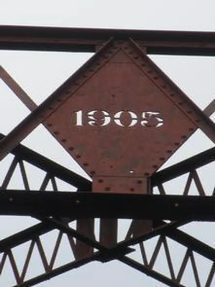
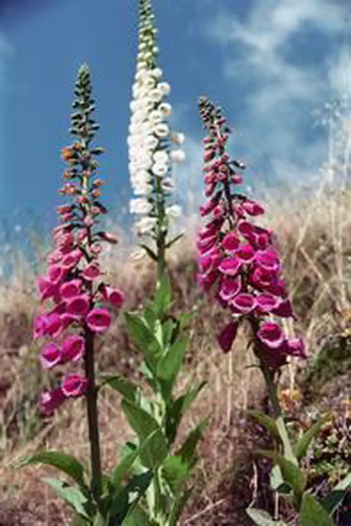
Cow CreekCow Creek Gold PanningCow Creek BridgeCow Creek Flowers
Recreation AreaOR

Cow Creek Back Country Byway

NPS / Recreation.gov
100/ 100DOES IT ALL
parkverdict Experience ScoreIndependent, not sponsored

100 of 100. Our independent breadth-and-access index. How we score

Worth it?

Is Cow Creek Back Country Byway worth it?

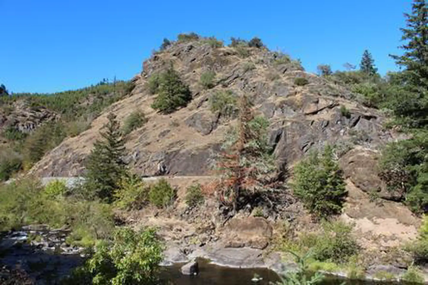
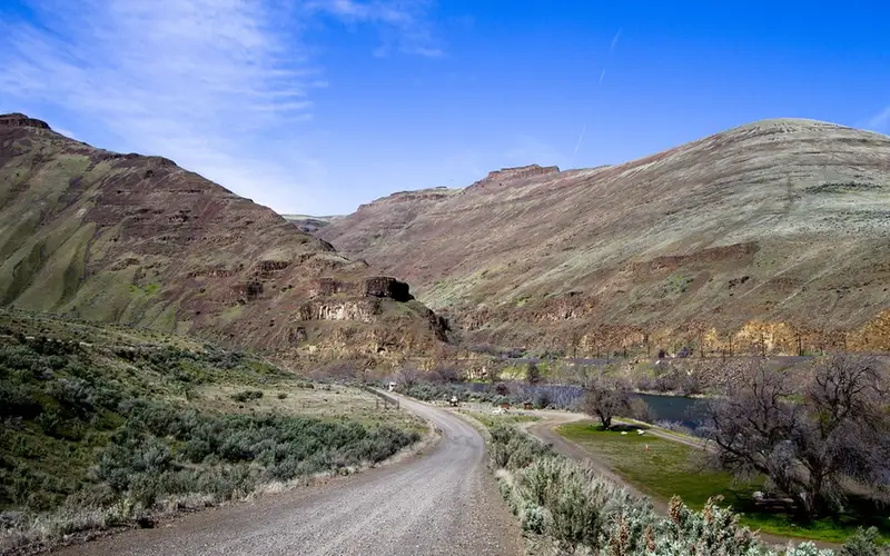
Cow Creek Back Country Byway is a free, 45-mile scenic drive through a creek canyon in southern Oregon, and it works as a genuine multi-activity recreation corridor.

You would not fly across the country for it, but if you are road tripping the I-5 corridor and want to actually move through the landscape rather than watch it blur past from the freeway, this road holds its own. It follows Cow Creek for most of its 45 miles, linking Riddle and Glendale on a rustic two-lane that passes through gold mining history, the site of a vanished town called West Fork, and an active historic railroad. Day users, car campers, anglers, paddlers, and OHV riders all have real reasons to pull over here. Free entry and free camping make the decision easy if you are keeping an eye on the budget. Come with curiosity rather than any expectation of spectacle.

The case for it

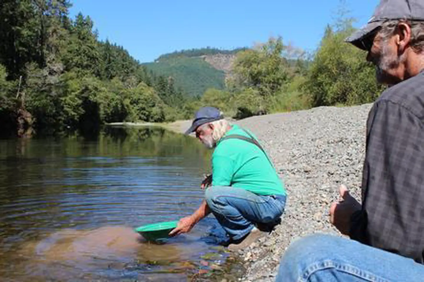
A good day here rarely runs short on things to do. The drive itself rewards attention before you even pull over, with interpretive signs tracing Oregon and California Railroad history and the long-gone community of West Fork along the route. Stop at Island Creek Day Use Area to picnic beside the water, try your hand at gold panning, or wade in when the weather calls for it. Anglers can work Cow Creek while paddlers and swimmers have documented access along the same stretch. The activity list goes deeper than most canyon corridors manage: hiking, biking, horseback riding, OHV use, climbing, and wildlife viewing all have a home here, which means two nights at the free Skull Creek Campground fill up without repeating yourself. The working railroad still running the original corridor adds an industrial-historic thread that most creek canyon drives simply cannot match.

Who it is for

Hikers, anglers, paddlers, road trippers on the I-5 corridor, budget campers, OHV riders, and horseback riders all have good reasons to stop here, and so does anyone curious about Oregon gold rush or railroad history. Just come in with realistic expectations: no visitor center, no guaranteed campsite, no dramatic high-elevation scenery. This is a creek canyon.

Best time to visit

Late spring through early fall is the sweet spot for visiting. Spring creek levels are good for paddling and fishing, though high water can make that rustic two-lane road genuinely tricky. Summer heat actually works in the area's favor, since the shaded creek corridor pulls in swimmers and day users looking to cool off. Fall gets quieter, and wildlife becomes more visible. Winter is a gamble, as backcountry byway access in Oregon is unpredictable at best.

Worth seeing

  • A free 45-mile scenic alternative to I-5 through a creek canyon with interpretive history stops
  • Gold panning at Island Creek Day Use Area on Cow Creek
  • Free first-come, first-served camping at Skull Creek Campground (5 sites)
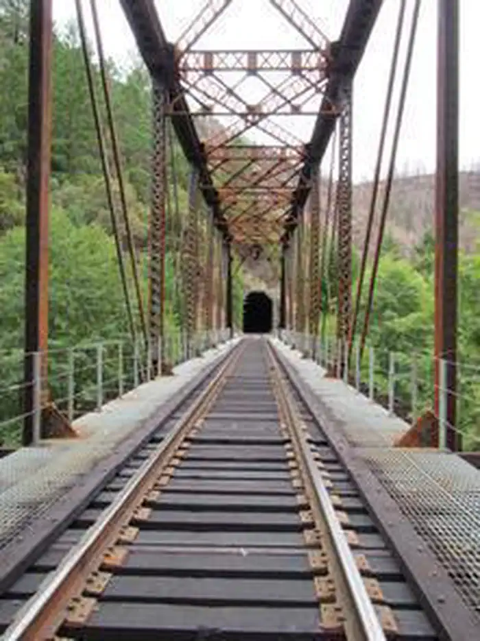
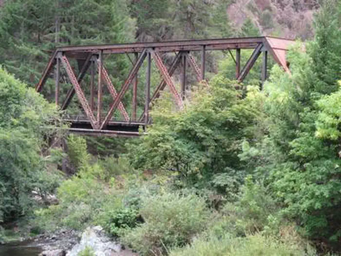
  • An active railroad corridor following the historic Oregon and California Railroad Company route
  • Documented swimming, paddling, and fishing access along Cow Creek
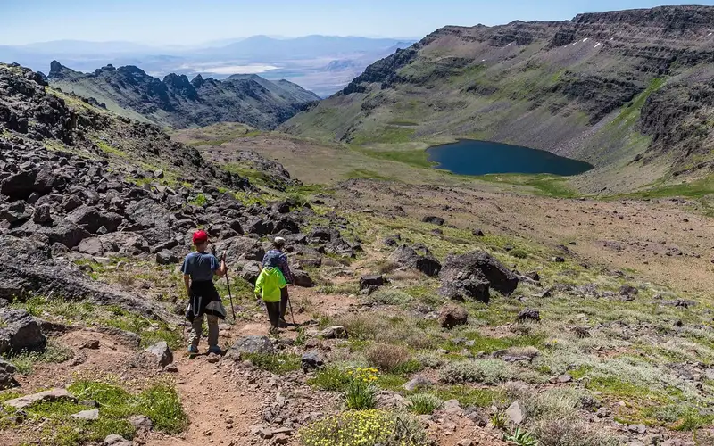
  • OHV, horseback riding, and hiking opportunities across a single corridor

Before you visit

Entrance and camping are both free, which is genuinely rare for a unit this busy. Skull Creek Campground has only 5 sites and fills on a first-come, first-served basis, so arrive early or have a backup plan ready. The road is a narrow two-lane byway, not a highway, and wet weather can make conditions rough enough that it's worth checking before you head out. Cell coverage in a creek canyon will be spotty.

Our tipCatch it on a weekday morning and you might see a freight train rolling along the historic Oregon and California Railroad corridor, right beside the creek. That one detail sets this byway apart from dozens of similar scenic routes across the Pacific Northwest.

How we scored it

How Cow Creek Back Country Byway earned its 100

Where does a 100 come from? One formula, run the same on every place we cover, built only from public data on what a unit offers and how reachable it is. It says nothing about how pretty a spot is or how busy it gets. This is what fed it:

  • Activity breadth22 documented activities
  • Topic breadth0 topics
  • Official imagery6 public-domain images
  • Camping on sitedocumented
  • Entry costfree

No number is hand-adjusted and no unit pays for placement. The full weights, the floor at 18 and a worked example are on how we score.

The honest limits

What the score cannot tell you

A quick honest note. The score tracks how much a place has going on and how easy it is to reach, both pulled from public records. What it cannot see is the stuff that often makes or breaks a day: whether the views stop you cold, how packed it gets in season, what the trails are like after rain, or whether you catch a great ranger talk. A small, single-focus site can land below a sprawling park here and still be the better call for your trip. Use the number to compare what places offer on paper, and the verdict up top to tell if it is your kind of place.

The basics

Cow Creek Back Country Byway at a glance

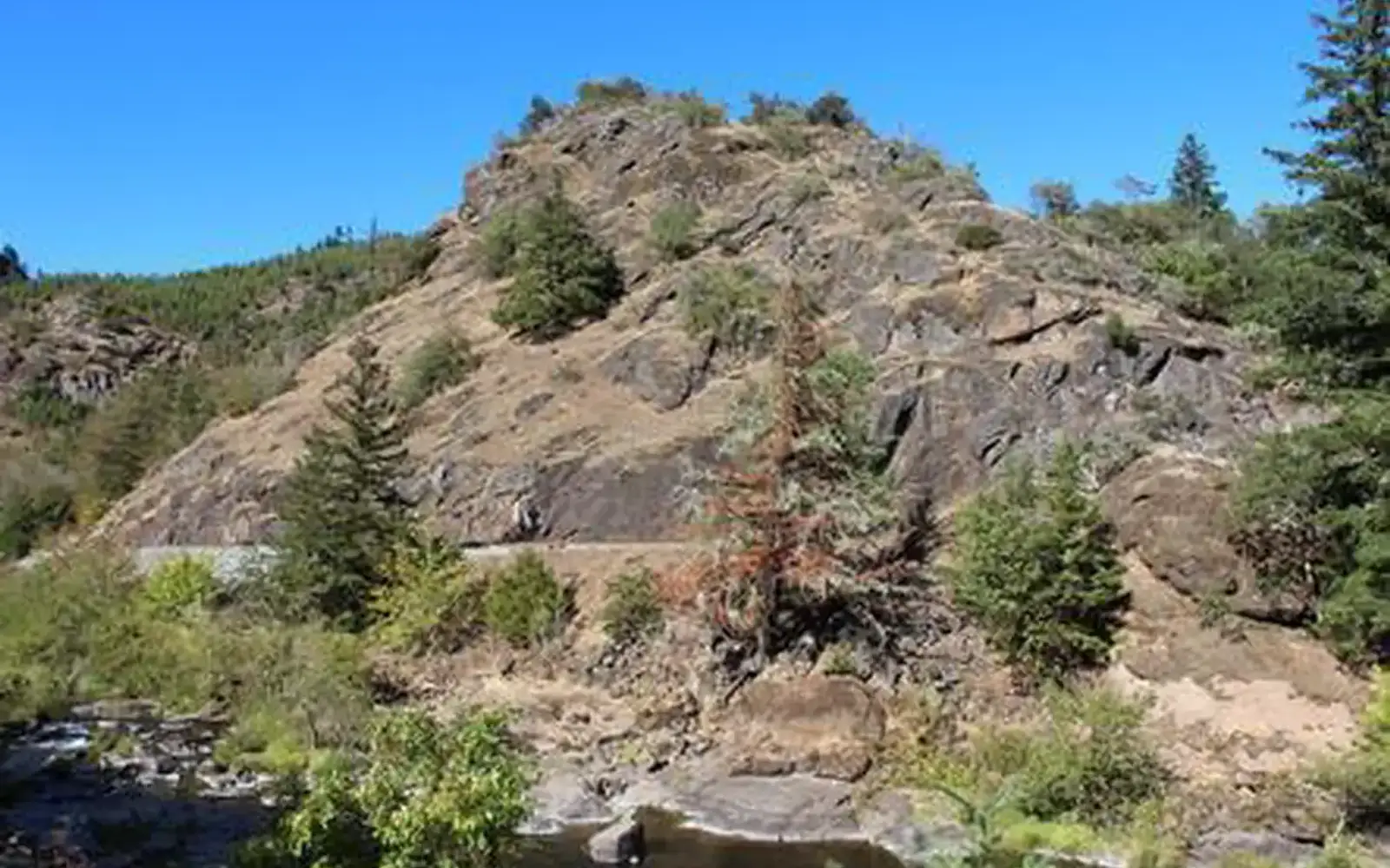
The Cow Creek Back Country Byway is worth pulling off Interstate 5 for. It runs 45 miles along Cow Creek between Riddle and Glendale, two lanes of rustic road lined with interpretive signs about the long-forgotten town of West Fork, the old railroad, and the area's gold mining past. A couple of stops stand out. The Island Creek Day Use Area is a good place to stretch your legs, pan for gold, or eat lunch by the water. Skull Creek Campground is free and first-come, first-served, with 5 sites. A few things to know before you go. The railroad running alongside the route is still active and follows the original Oregon and California Railroad Company grade built in 1869. Parts of the surrounding forest burned in the Douglas Complex Fire in 2013. Private mining claims are marked along the creek, so stay off them. Watch for logging trucks on the blind corners. Timing changes what you get out of it. Spring brings the heaviest wildflower bloom. Summer is the season for swimming, fishing, and gold panning in Cow Creek. Come fall, the foliage turns and salmon can sometimes be spotted spawning in the creek.

On documented breadth and access, Cow Creek Back Country Byway ranks 1st of 42 park and public-land units we score in Oregon.

On offer

Documented activities

Auto TouringBikingBoatingClimbingHistoric & Cultural SiteCampingInterpretive ProgramsFishingHikingHorseback RidingOff Highway VehiclePicnickingWater SportsWildlife ViewingDay Use AreaObservation SiteInformation SiteEnvironmental Education
Common questions

Cow Creek Back Country Byway: quick answers

Is Cow Creek Back Country Byway worth visiting?

Cow Creek Back Country Byway is a free, 45-mile scenic drive through a creek canyon in southern Oregon, and it works as a genuine multi-activity recreation corridor.

Is Cow Creek Back Country Byway free to visit?

Yes, there is no entrance fee.

What is Cow Creek Back Country Byway best for?

It leans hardest toward hiking, camping, water activities, wildlife watching, going by the 22 activities it actually documents.

When is the best time to visit Cow Creek Back Country Byway?

Late spring through early fall is the sweet spot for visiting.

How is the Experience Score for Cow Creek Back Country Byway calculated?

The 100 comes straight from public data on how much the place documents and how easy it is to reach, things like activities, topics, photos, camping and whether entry is free. It says nothing about scenery or how busy it gets.