parkverdict
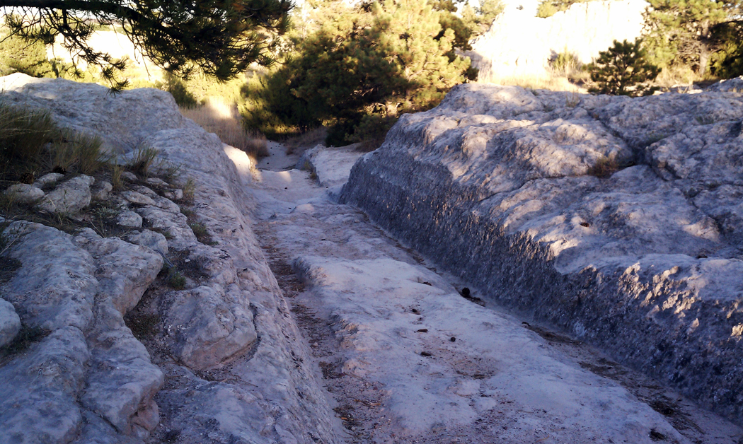
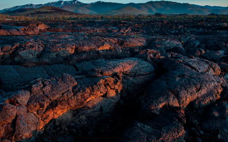
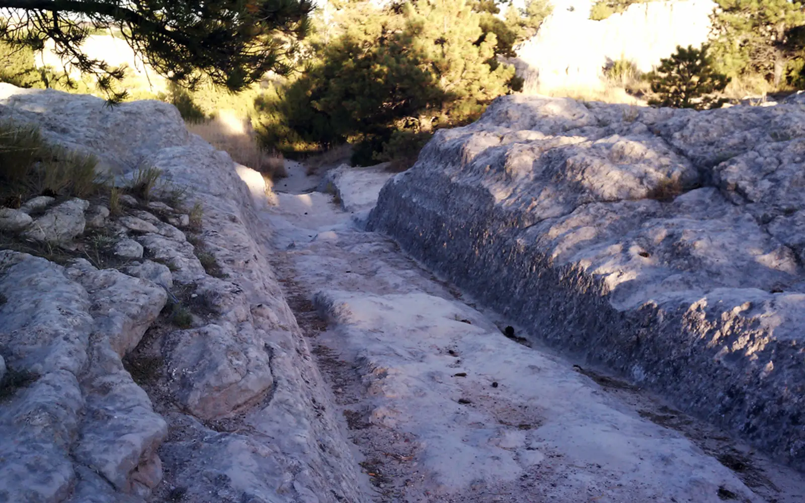
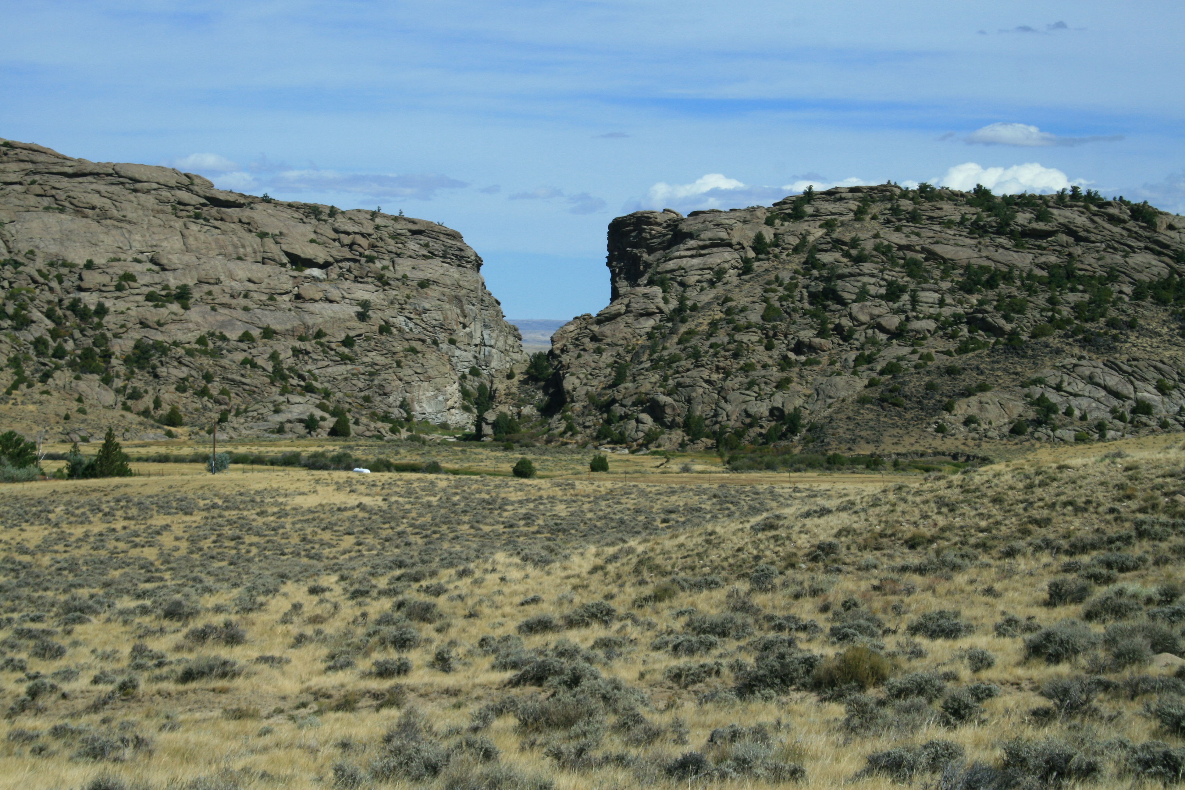
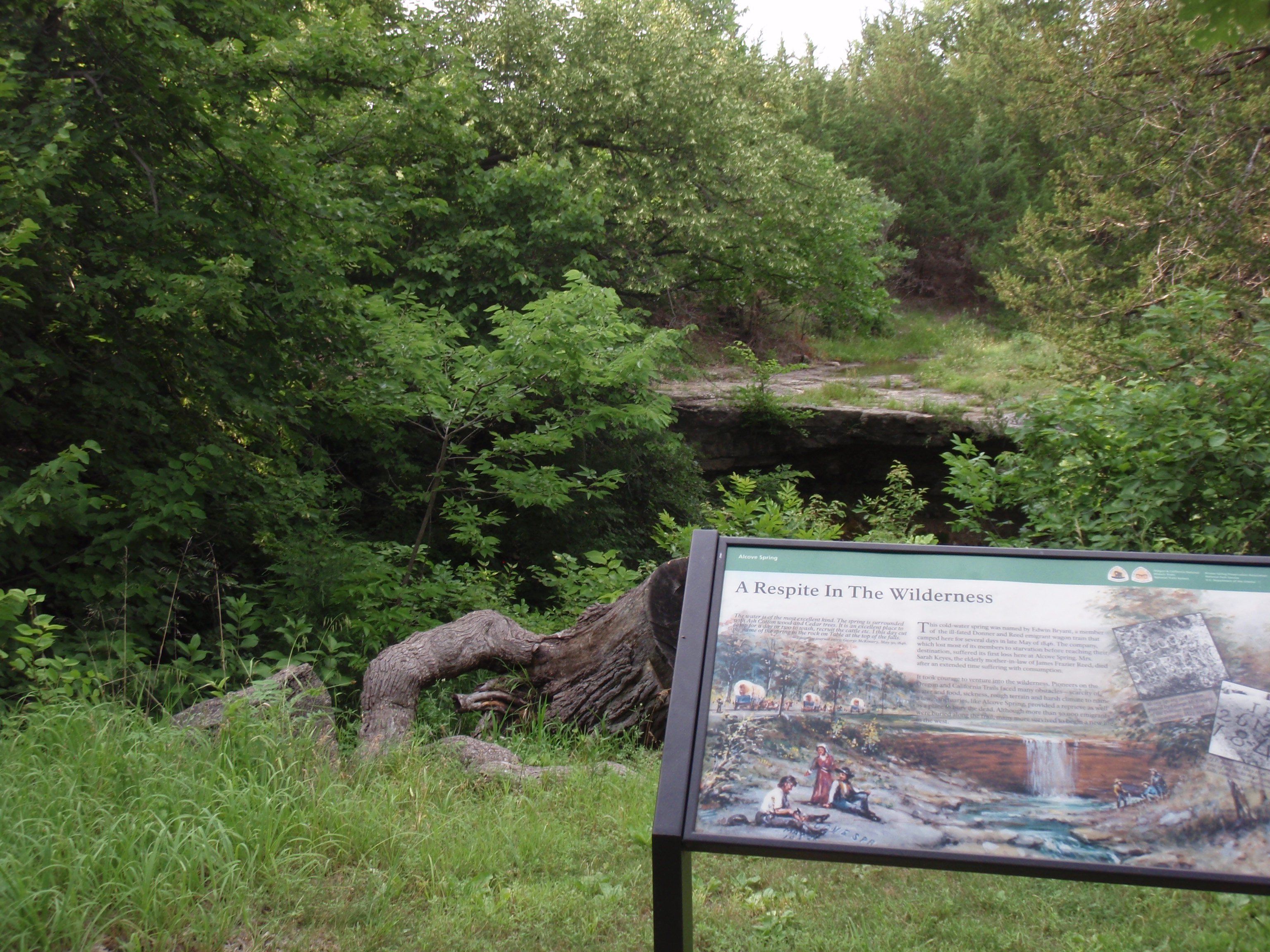
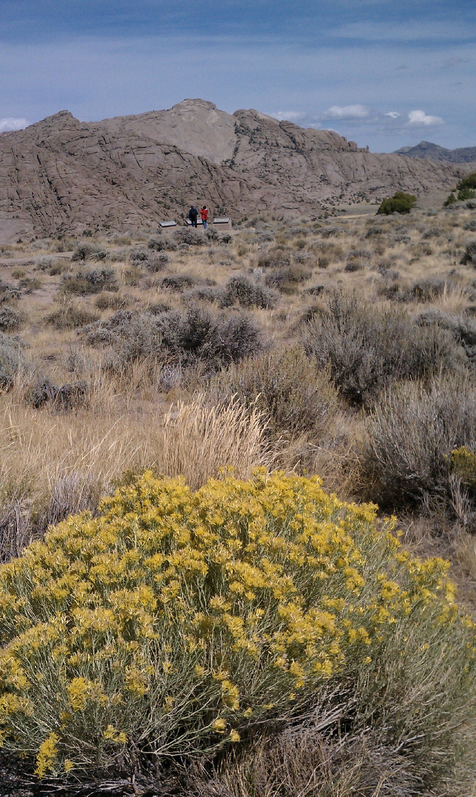
A wagon swale is cut deep into limestone rock with trees in background.A rock buttress with a notch in it surrounded by sagebrush flats.An exhibit with an illustration in front of green trees and a rock ledge.A large yellow flowering desert shrub in front of sagebrush and a large rock buttress.
National Historic TrailID / KS / MO / NE / OR / WA / WY

Oregon National Historic Trail

NPS / NPS photo
62/ 100GOOD RANGE
parkverdict Experience ScoreIndependent, not sponsored

62 of 100. Our independent breadth-and-access index. How we score

Our take

Is Oregon National Historic Trail worth your trip?

The Oregon National Historic Trail runs more than 2,000 miles across six states, cutting through public lands, private property, city neighborhoods, and wilderness.

It is not a single place you visit. Your experience depends almost entirely on which sections you seek out and how much homework you do before you go. At its best, the trail gives you genuine, physical contact with 19th-century emigrant history: wagon ruts still pressed into the soil, interpretive museums scattered through trail towns, and long stretches of high plains and mountain country that feel surprisingly little changed from what those travelers saw. At its worst, it feels like a scavenger hunt through forgettable roadsides. There is no entrance gate, no central visitor center, and no admission fee. The trail rewards people who are historically curious and willing to plan, and it can hit surprisingly hard once you stand somewhere real and try to grasp what covering 2,000 miles on foot actually cost the people who did it.

Why go

Start by picking one segment and actually committing to it. Scenic auto tour routes through Kansas, Nebraska, or Wyoming let you cover real ground with stops at preserved rut sites along the way. Hikers and horseback riders can find sections on public land where the original emigrant path is still visible underfoot. Guided tours at affiliated museums and heritage sites in the trail towns give you context that roadside markers simply cannot. Families with kids can work through the Junior Ranger Program, which runs across multiple affiliated sites. Put it all together, the landscape, the living history, the sheer distance these routes cover, and even a multi-day road trip through a single state section earns its place on the calendar.

Best for

History-minded travelers, road trippers, and families who plan ahead will find a lot to work with here. Horseback riders and hikers who want a backcountry experience with real historical weight should head for the public land segments. If you are looking for one self-contained park, this is the wrong place. The trail is a corridor, and visitors who show up expecting to be entertained will leave disappointed.

Best season

Six states separate Missouri from the Oregon and Washington endpoints, and each one has its own ideal window. Wyoming and Idaho are best tackled in summer, after the mountain passes have cleared. Kansas and Nebraska are a different story, where spring or early fall beats the summer heat by a wide margin. Before you head out, check weather.gov for your specific region and confirm land access and road conditions with local sources, especially for any backcountry segments.

The high points

  • Visible wagon ruts still pressed into the earth at multiple sites across the corridor
  • Scenic auto tour routes that trace the original emigrant path through open plains and mountain terrain
  • Horseback riding and hiking on public land segments for an on-the-ground historic experience
  • Museum exhibits at affiliated heritage sites in trail communities across six states
  • Guided tours at select sites that add interpretive depth beyond roadside markers
  • Junior Ranger Program available at affiliated sites, making the history accessible for children

Know before you go

The trail is free, but it does not run as one continuous marked path. It crosses multiple land ownerships and management jurisdictions, so conditions shift from section to section. Before you go, check your specific state segment on the NPS website and confirm which parts are open to the public. Some of the best rut sites sit a short drive off the main roads, and a few fall on private land where access is limited or unavailable.

One more thingPick one stretch rather than trying to cover the whole corridor. The Scotts Bluff area in Nebraska and the South Pass area in Wyoming are two of the most historically intact segments you can visit, and both deliver visible trail ruts, good public land access, and decent interpretive resources without requiring a massive trip to experience them.

How we scored it

Why Oregon National Historic Trail scores 62

We keep the math boring on purpose. The same handful of public-data inputs, capped so none of them dominates, decide every score. What they measure is breadth and access, not beauty and not crowd levels. For Oregon National Historic Trail, they shook out like this:

  • Activity breadth9 documented activities
  • Topic breadth13 topics
  • Official imagery5 public-domain images
  • Camping on sitenone recorded
  • Entry costfree

No number is hand-adjusted and no unit pays for placement. The full weights, the floor at 18 and a worked example are on how we score.

The honest limits

The honest blind spots

Read the score for what it is. It counts what a place documents and how reachable it is, and stops there. It will not tell you if a sunset floors you, if the crowds thin out by dusk, whether a washout closed your trail, or how a ranger tells the story. Plenty of quiet, focused spots score modestly and still win the weekend. Let the number rank what is on offer; let the verdict speak to the feel.

What you can do

Activities

Auto and ATVScenic DrivingGuided ToursSelf-Guided Tours - AutoHikingHorse TrekkingHorseback RidingJunior Ranger ProgramMuseum Exhibits
Background

The short version

Picture yourself as an emigrant bound for Oregon. Would the promise of fertile farmland and a fresh start be enough to make you abandon everything you knew and walk for weeks on end? The answer is carved into the landscape across six states, where more than 2,000 miles of trail ruts and traces are still visible today, telling the story of what those early American settlers sacrificed, survived, and created along the Oregon National Historic Trail.

On documented breadth and access, Oregon National Historic Trail ranks 12th of 17 park and public-land units we score in Idaho.

What the seasons are like

The Oregon National Historic Trail crosses a lot of different terrain, so check the forecast for whichever region you're heading to. The National Weather Service posts local forecasts at weather.gov.

Common questions

Oregon National Historic Trail: quick answers

Is Oregon National Historic Trail worth visiting?

The Oregon National Historic Trail runs more than 2,000 miles across six states, cutting through public lands, private property, city neighborhoods, and wilderness.

Is Oregon National Historic Trail free to visit?

It is free to get in.

What is Oregon National Historic Trail best for?

It leans hardest toward hiking, good with kids, scenic drives, guided tours, going by the 9 activities it actually documents.

When is the best time to visit Oregon National Historic Trail?

Six states separate Missouri from the Oregon and Washington endpoints, and each one has its own ideal window.

How is the Experience Score for Oregon National Historic Trail calculated?

The 62 comes straight from public data on how much the place documents and how easy it is to reach, things like activities, topics, photos, camping and whether entry is free. It says nothing about scenery or how busy it gets.