parkverdict
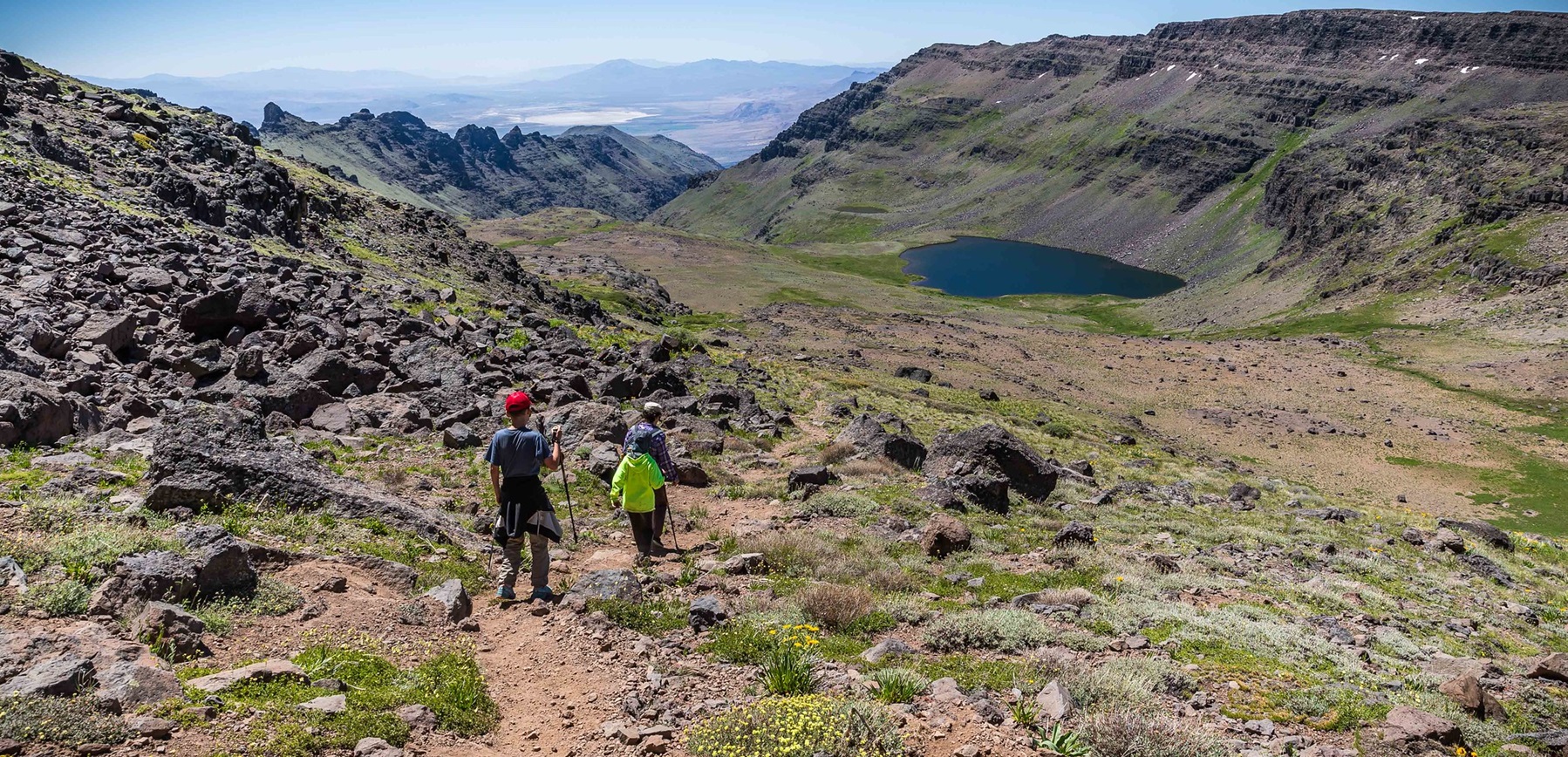
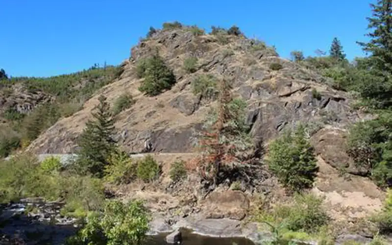
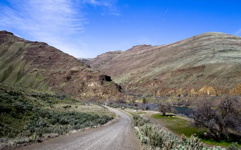
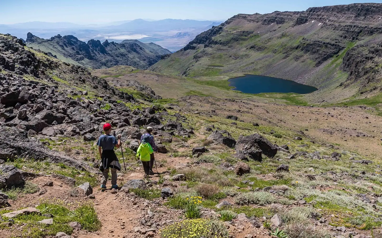
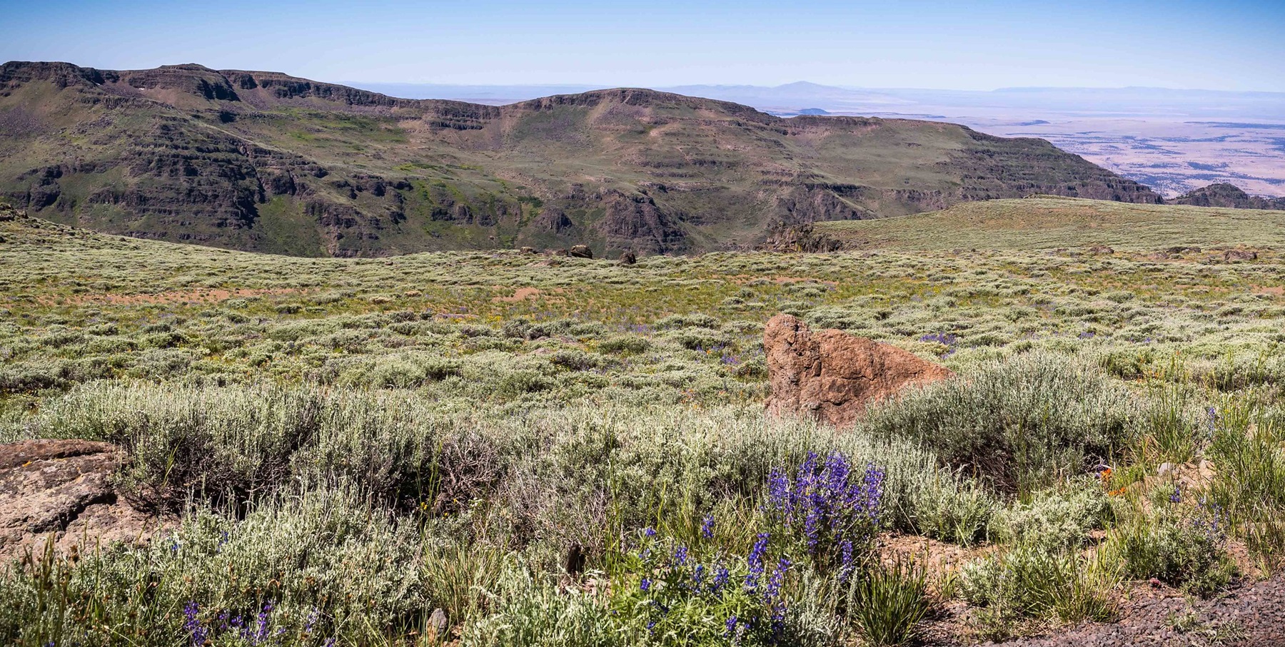
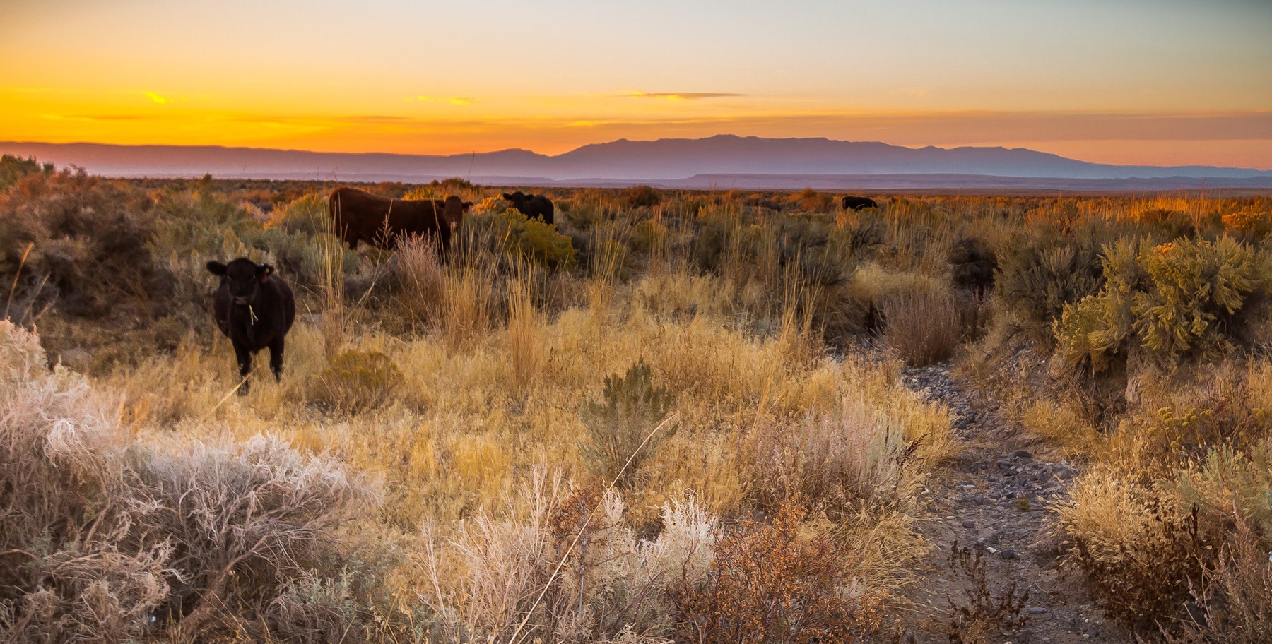
Middle section of the trail to Wildhorse LakeBig Indian Canyon, Steens Mountain WildernessCattle grazing on rangeland east of Steens Mountain
Recreation AreaOR

Steens Mountain Cooperative Management & Protection Area

NPS / Greg Shine, BLM
93/ 100DOES IT ALL
parkverdict Experience ScoreIndependent, not sponsored

93 of 100. Our independent breadth-and-access index. How we score

Worth it?

Is Steens Mountain Cooperative Management & Protection Area worth it?

Steens Mountain takes up roughly 500,000 acres of high desert, fault-block terrain, and glacier-carved gorges in southeastern Oregon, which puts it among the most remote and expansive recreation areas in the Lower 48.

There are no visitor centers spaced out every few miles along the road. You are genuinely on your own out here, and the experience pays back preparation in direct proportion to how seriously you take it. The 52-mile Steens Mountain Backcountry Byway cuts through the heart of the range, connecting gorge overlooks, historic ranching sites, wild horse habitat, and wilderness trailheads. The place scored 93 on our experience scale, and the documented activities cover real ground: stargazing under skies that are actually dark, backpacking, fishing, climbing, paddling, and winter sports. If you can stomach long gaps between services and build your trip around that reality, Steens Mountain delivers an Oregon high desert experience that very few places can touch.

The case for it

The Backcountry Byway is the spine of a good day out here, running past a string of gorge overlooks - Kiger Gorge, East Rim, Big Indian Gorge, Wildhorse, and Little Blitzen Gorge - each one cut by Pleistocene glaciers into the steep eastern face of the fault block. Hike down into any one of those gorges and you have a full day with nothing left wanting. Anglers can work the wild and scenic river corridors, and wildlife watchers have real shots at wild horses, raptors, and the broader cast of high desert animals spread across a vast, unfragmented stretch of land. Once the sun goes down, the near-total absence of light pollution puts this place among the top stargazing spots in the Pacific Northwest. Multi-day backpackers and horse packers can push deep into designated wilderness and find genuine solitude.

Who it is for

The place suits self-sufficient travelers best: backpackers, backcountry photographers, dedicated wildlife watchers, anglers, and dark-sky enthusiasts who can work around remote logistics. Road-trippers and RV travelers who bring their own supplies will find plenty to keep them busy. Anyone expecting short, well-marked loops, reliable cell service, or nearby amenities is probably going to leave frustrated.

Best time to visit

Late June through September works best for most visits - the upper Byway and high-elevation areas have shed their snow and roads are passable. Spring brings wildflowers and active wildlife, though expect muddy conditions. Fall offers cooler temperatures, good light for photography, and hunting season activity. Winter closes the upper roads and demands proper preparation, though the payoff is real.

Worth seeing

  • Glacier-carved gorge overlooks along the 52-mile Backcountry Byway, including Kiger and East Rim
  • Wild horse viewing in documented roaming areas within the CMPA
  • Backpacking and wilderness camping in one of Oregon's largest roadless areas
  • Exceptionally dark skies for stargazing, with minimal light pollution across the high desert
  • Fishing and paddling on wild and scenic river corridors
  • Riddle Brothers Ranch National Historic District, documenting the ranching heritage of the region

Before you visit

Admission is free, but the isolation has its own price. Fuel, drinking water, cell service, and restrooms are hard to come by across this 500,000-acre stretch. Burns, to the north, is your nearest town for supplies. Pack more water than you think you'll need, bring a paper map or downloaded offline maps, and top off your tank before you head in. Much of the Byway is unpaved, and some sections need a high-clearance vehicle.

Our tipIf stargazing matters to you, plan your visit around a new moon and camp at one of the four Byway campgrounds on the mountain. You will sit well above the valley haze, far from any town glow, a combination genuinely rare in the continental United States.

How we scored it

Why Steens Mountain Cooperative Management & Protection Area scores 93

We keep the math boring on purpose. The same handful of public-data inputs, capped so none of them dominates, decide every score. What they measure is breadth and access, not beauty and not crowd levels. For Steens Mountain Cooperative Management & Protection Area, they shook out like this:

  • Activity breadth20 documented activities
  • Topic breadth0 topics
  • Official imagery3 public-domain images
  • Camping on sitedocumented
  • Entry costfree

No number is hand-adjusted and no unit pays for placement. The full weights, the floor at 18 and a worked example are on how we score.

The honest limits

What the score cannot tell you

A quick honest note. The score tracks how much a place has going on and how easy it is to reach, both pulled from public records. What it cannot see is the stuff that often makes or breaks a day: whether the views stop you cold, how packed it gets in season, what the trails are like after rain, or whether you catch a great ranger talk. A small, single-focus site can land below a sprawling park here and still be the better call for your trip. Use the number to compare what places offer on paper, and the verdict up top to tell if it is your kind of place.

Background

The short version

The Steens Mountain Cooperative Management and Protection Area takes in roughly 500,000 acres of mixed private and public land. Glacier-carved gorges drop into wilderness, wild and scenic rivers cut across the terrain, and ranching families have worked this ground for generations. The 52-mile Steens Mountain Backcountry Byway connects four campgrounds, a handful of trails, the Riddle Brothers Ranch National Historic District, wild horse roaming areas, and spots for fishing and hunting. Stop at Kiger Gorge, East Rim, Big Indian Gorge, Wildhorse, or Little Blitzen Gorge and the drive more than justifies itself. Before you head out, sort a few things: fuel, drinking water, restrooms, and cell reception are all scarce, with long gaps between each. The roads are rough and primitive, so bring a high-clearance or 4x4 vehicle with tires you trust. The landscape is wide enough to get experienced travelers turned around, so carry a current map of the area. The CMPA mixes public and private land, and different zones have their own rules. Pay attention to road closure signs, stay on designated open routes shown on current BLM maps, and keep your vehicle on established roads. Treat the land well, and treat the people who live and work on it the same way.

On documented breadth and access, Steens Mountain Cooperative Management & Protection Area ranks 2nd of 42 park and public-land units we score in Oregon.

What you can do

Activities

StargazingClimbingHistoric & Cultural SiteCampingFishingHikingHorseback RidingHuntingOff Highway VehiclePicnickingWinter SportsRecreational VehiclesWildlife ViewingWildernessPhotographyPaddlingNon-Motorized BoatingAccessible Facility Or Activity
Common questions

Steens Mountain Cooperative Management & Protection Area: quick answers

Is Steens Mountain Cooperative Management & Protection Area worth visiting?

Steens Mountain takes up roughly 500,000 acres of high desert, fault-block terrain, and glacier-carved gorges in southeastern Oregon, which puts it among the most remote and expansive recreation areas in the Lower 48.

Is Steens Mountain Cooperative Management & Protection Area free to visit?

It is free to get in.

What is Steens Mountain Cooperative Management & Protection Area best for?

It leans hardest toward stargazing, hiking, camping, water activities, going by the 20 activities it actually documents.

When is the best time to visit Steens Mountain Cooperative Management & Protection Area?

Late June through September works best for most visits - the upper Byway and high-elevation areas have shed their snow and roads are passable.

How is the Experience Score for Steens Mountain Cooperative Management & Protection Area calculated?

The 93 comes straight from public data on how much the place documents and how easy it is to reach, things like activities, topics, photos, camping and whether entry is free. It says nothing about scenery or how busy it gets.