Lewis & Clark National Historic Trail: our verdict
The Lewis & Clark National Historic Trail presents a formidable undertaking.
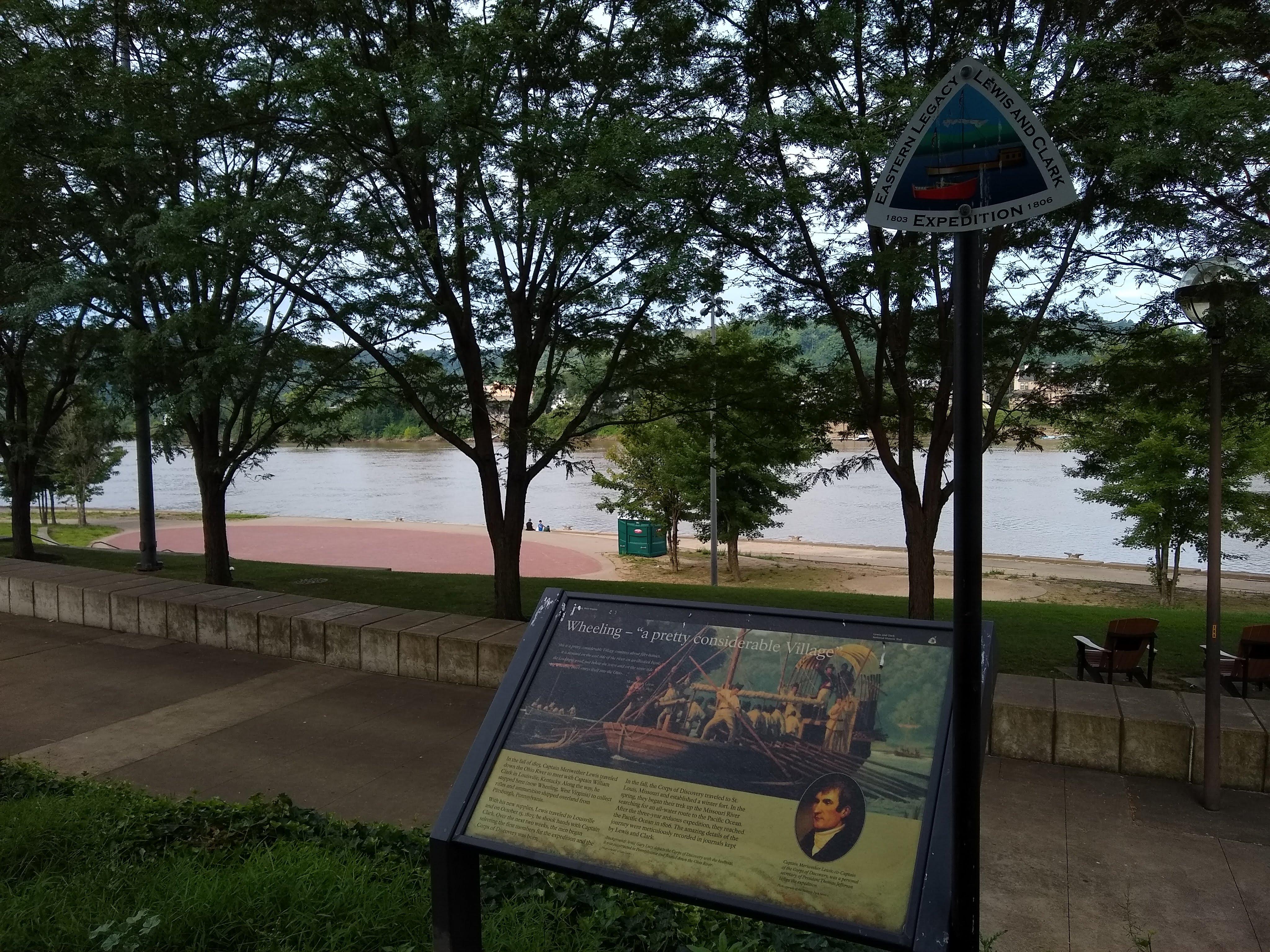
Spanning nearly 4,900 miles across 16 states, from Pittsburgh, Pennsylvania, to the Pacific, it traverses the ancestral lands of over 60 Tribal nations. This is not a conventional park visit. It demands a self-directed approach. Travelers must select a segment, plan their route, and assemble the expedition's narrative from disparate visitor centers, river access points, historic sites, and scenic byways. The primary National Park Service facility is located in Omaha, Nebraska, on the Missouri River. For history enthusiasts prepared for extensive planning, the trail offers substantial depth. Those seeking a contained, staffed park experience will find it diffuse. The documented breadth of activities across the corridor is considerable. However, individual experiences depend entirely on chosen segments and prior research. Casual sightseers should look elsewhere.
Why visit
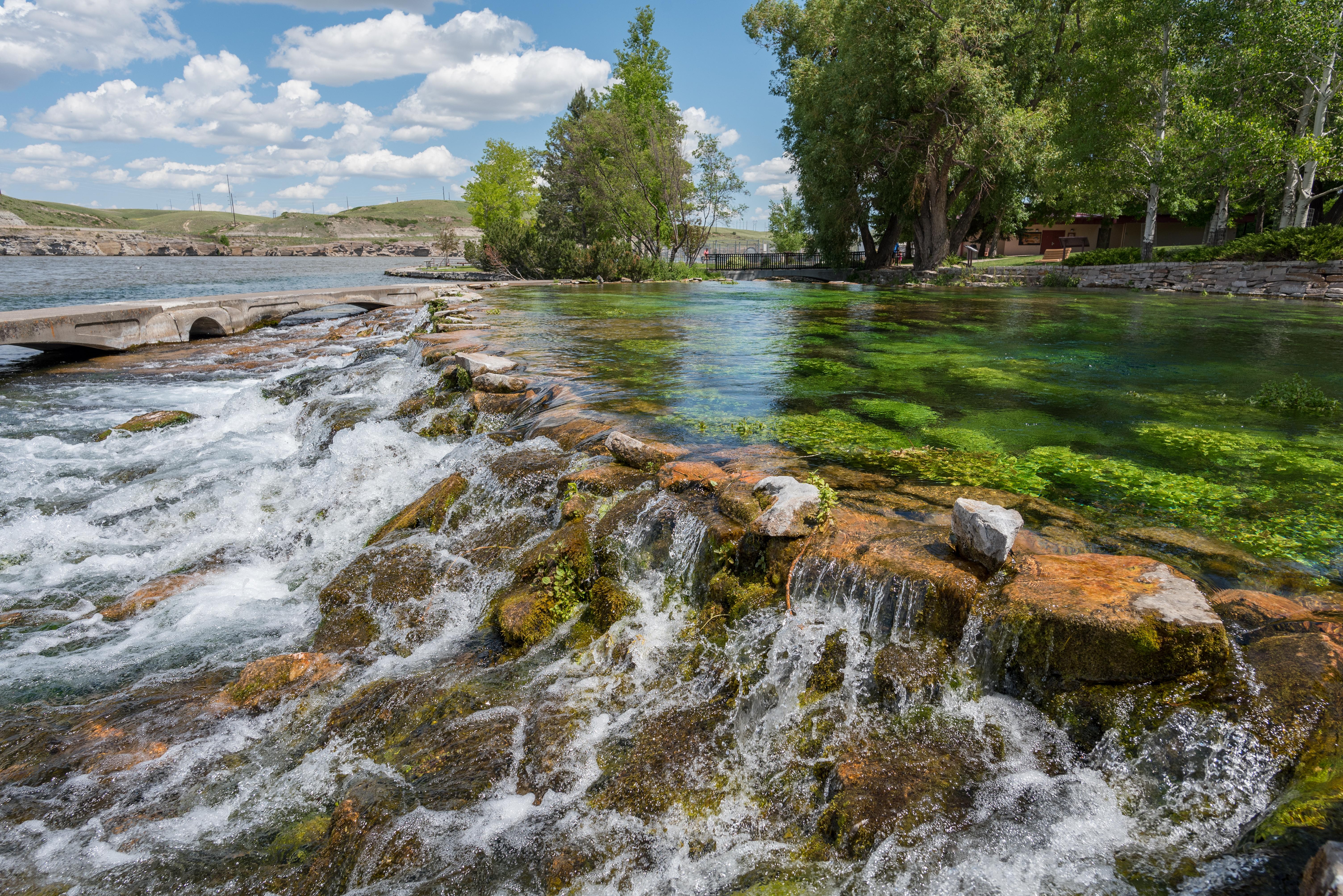
This corridor offers a unique multi-state experience. Stretching along the Missouri River through Nebraska, Iowa, and the Dakotas, it provides opportunities for scenic driving, fishing, and wildlife observation. The historical connection to the 1803-1806 expedition is strong. Partner sites enhance this through living history programs and guided tours. Boating or kayaking on expedition waterways brings a tactile element to the historical narrative. Museum exhibits at affiliated sites present Indigenous perspectives and geopolitical context. The Junior Ranger program aids family engagement across multiple locations. Northern segments permit winter snowshoeing. Free entry at NPS-managed components makes multi-stop road trips economically accessible. This destination rewards those who plan a multi-day itinerary.
Who it suits
This trail network suits road-trippers, history buffs, and families who enjoy self-guided, multi-day itineraries. It is especially rewarding for those interested in Indigenous history, early American exploration, or Missouri and Columbia River geography. Casual hikers seeking a single-destination, well-marked experience should look elsewhere.
Timing your visit
The seasonal conditions of this park demand careful consideration. Summer provides maximum access for boating, fishing, and general outdoor pursuits. However, the Great Plains and Pacific Northwest interior segments experience heat extremes. Hydration and sun protection are essential. Fall ushers in cooler temperatures and reduced congestion on scenic routes. Winter access is possible in some areas. Be advised: ice on trails and sidewalks presents a significant hazard. Consult weather.gov for specific segment conditions prior to any visit.
What stands out
- Nearly 4,900 miles of documented expedition route spanning 16 states and 60-plus Tribal nation homelands
- Scenic driving corridors along the Missouri and Columbia Rivers connecting historic waypoints
- Living history programs and guided tours at affiliated sites along the route
- Boating, fishing, and wildlife watching on expedition waterways
- Museum exhibits interpreting the expedition's complex legacy from multiple perspectives
- Free entry at NPS components with Junior Ranger programming for families
Good to know
This unit presents a unique challenge for visitors. Entry is free at all NPS-managed sites. However, the sheer scale of the trail, spanning 16 states, necessitates careful planning. The primary NPS visitor center is located in Omaha, Nebraska, on the Missouri River; this makes a logical first stop for those new to the trail. Given the varied hours and staffing of partner sites, confirm local details before any travel. This is not a casual destination. You must plan your specific segment in advance.
Insider tipBegin any visit to the trail at the Omaha visitor center. Staff there can identify the most historically intact and publicly accessible segments. This critical information may not be obvious from official trail maps.