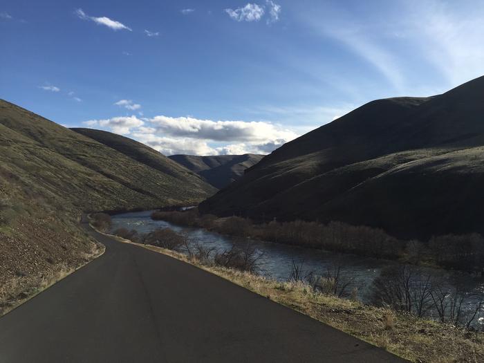
Lower Deschutes River Back Country Byway: our verdict
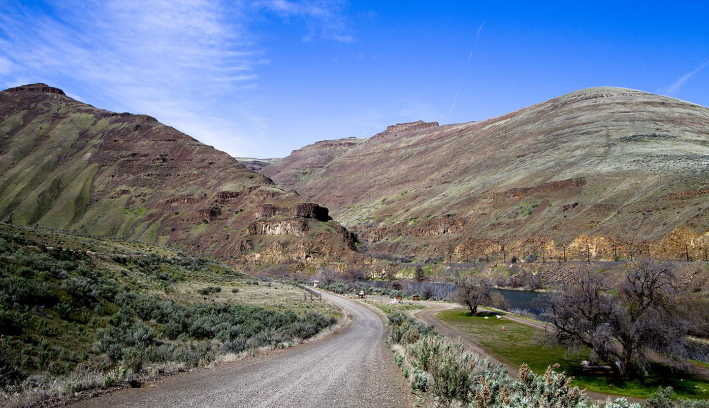
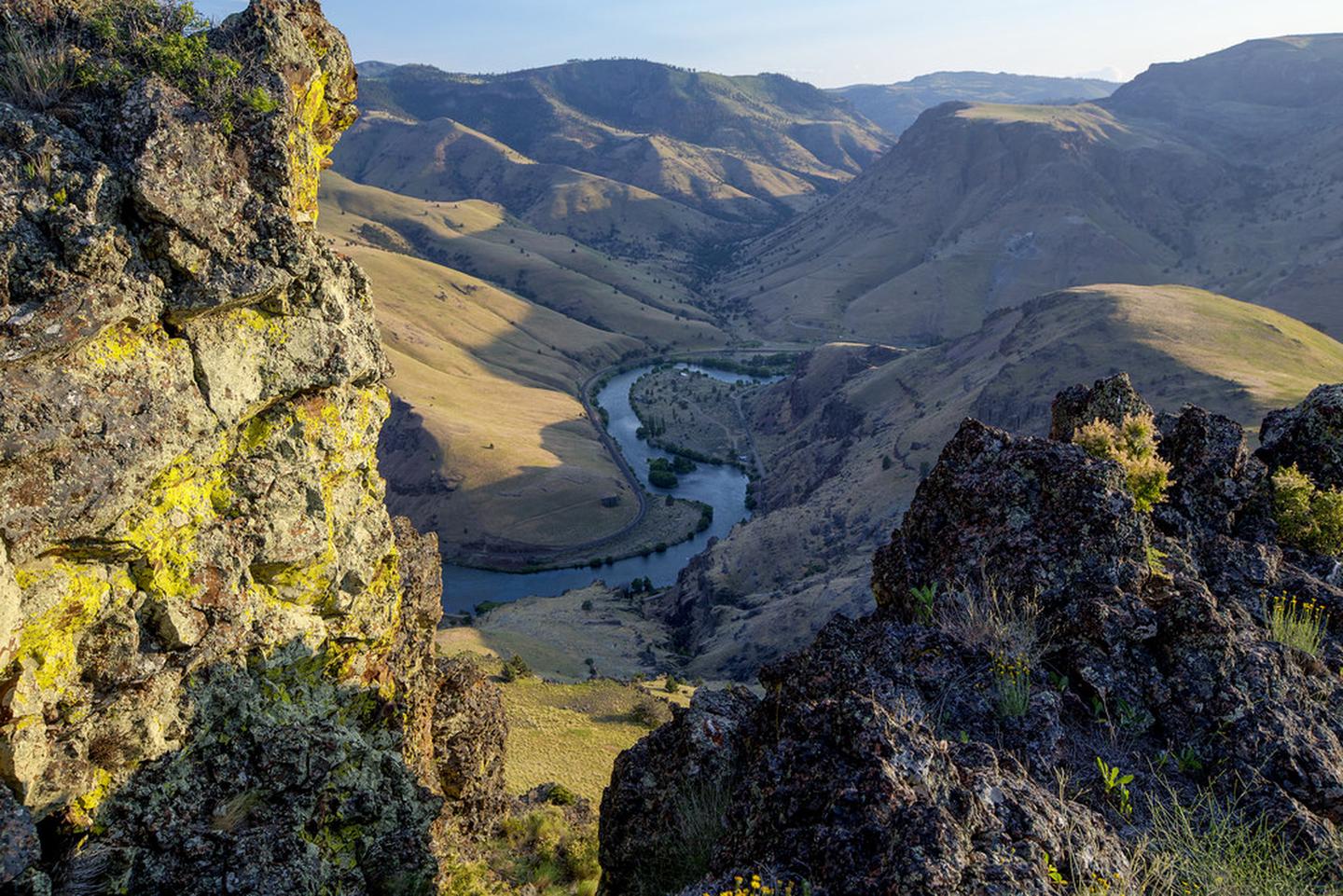
The Lower Deschutes River Back Country Byway is a 32-mile corridor along a designated Wild and Scenic River in Oregon canyon country.
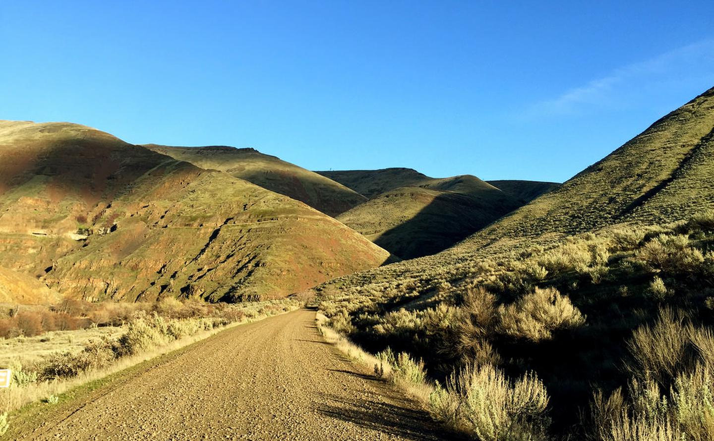
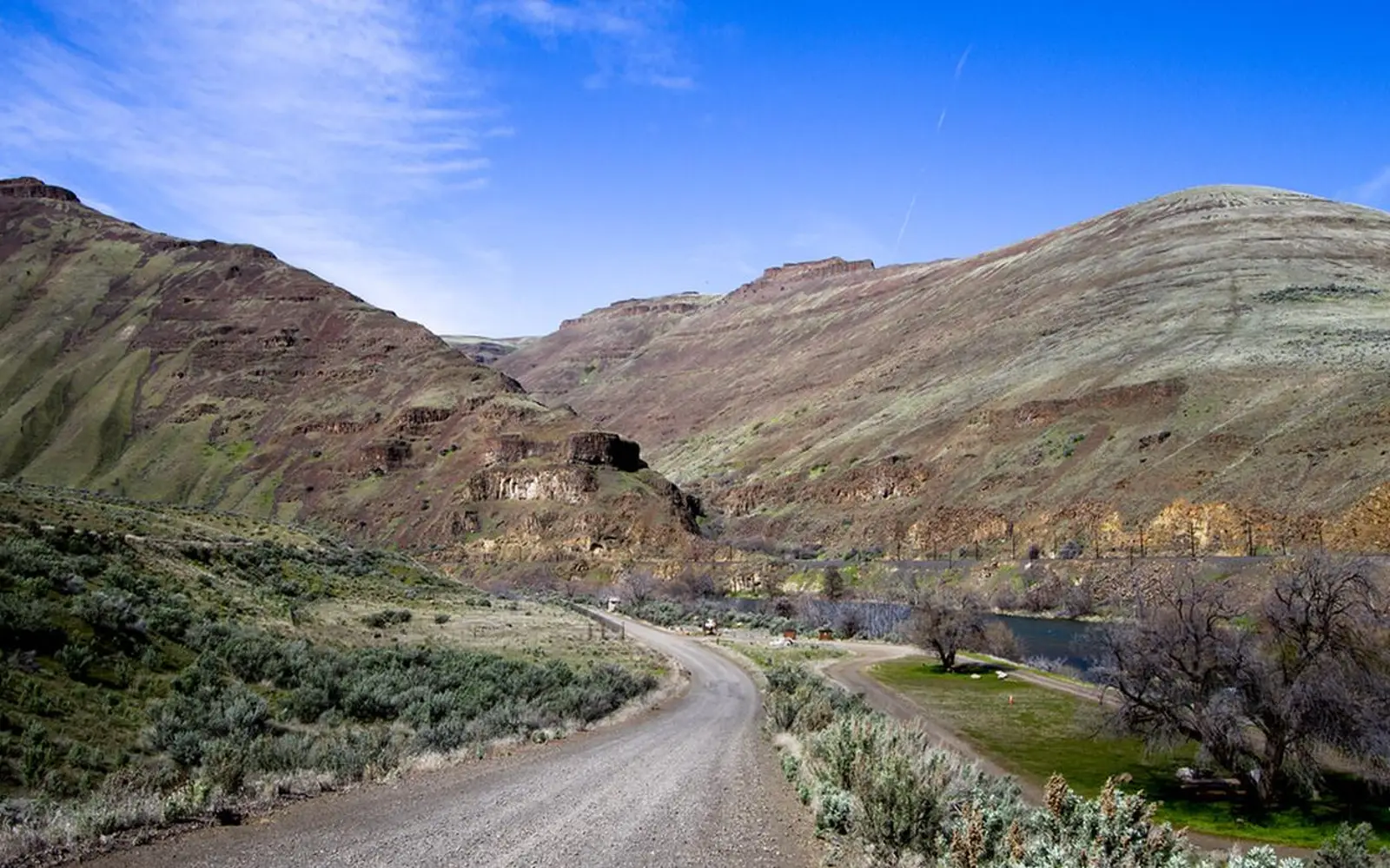
This recreation area, free to enter, is centered on the Deschutes itself. It offers significant infrastructure, including 10 campgrounds, 4 boat launches, and 7 day-use areas across 22 developed sites. The route provides both paved and high-grade gravel roads, accessible to passenger vehicles. Whitewater rafters, fly fishers, cyclists, and car campers can all find suitable access. The canyon scenery is dramatic. Rapids present a genuine challenge. Recreation options are abundant. For those in central Oregon, the Byway warrants attention.
Why visit
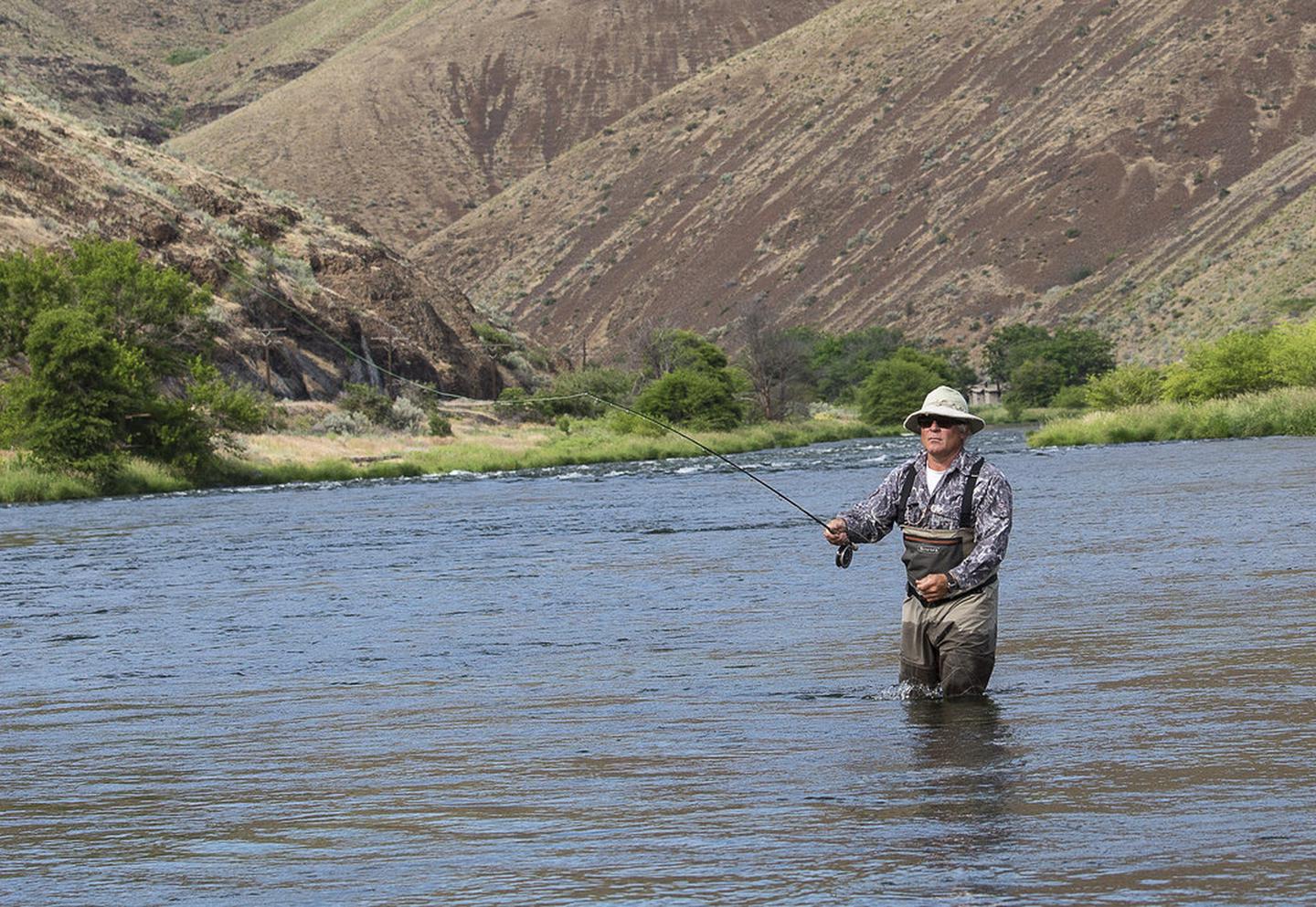
This unit excels as a multi-day, water-centric destination. The 32-mile Deschutes River provides ample developed access for varied recreation. Anglers will find multiple entry points along one of the Pacific Northwest's celebrated fly-fishing rivers. Rafters can plan multi-day trips with four boat launches and established riverside campgrounds. Cyclists can ride paved and gravel sections from Maupin, experiencing the canyon's dramatic scenery and audible rapids. Photographers will appreciate the canyon's light at dawn and dusk. With 140 individual sites and 21 group sites across 10 free campgrounds, all offering river access, this location supports extended stays. The documented breadth of activities makes it suitable for two to three days of diverse outdoor engagement.
Who it suits
This river corridor excels as a destination for active, water-based recreation, with no entrance fees or significant crowds. Fly fishers, whitewater rafters, and cyclists will find ample opportunity. Car campers are well accommodated. The area also suits families seeking accessible picnicking and riverside views. However, visitors should adjust expectations regarding developed infrastructure. Interpretive programming, extensive maintained hiking trails, and reliable cell service are not present.
Timing your visit
Optimal visitation runs from late spring into early fall. Spring runoff creates higher, faster water, ideal for experienced rafters. Summer brings intense heat in the Oregon high desert canyon; plan early morning fishing and evening camps. Fall offers cooler temperatures and prime fly fishing on the Deschutes. While winter access is possible year-round, amenities may be limited, and canyon roads are subject to weather impacts.
What stands out
- 32 miles of designated Wild and Scenic River corridor accessible by passenger vehicle on paved and high-grade gravel road
- Four developed boat launches supporting multi-day whitewater rafting trips through genuine canyon rapids
- Fly fishing access at multiple points along one of the Pacific Northwest's most respected trout rivers
- Ten free campgrounds with 140 individual sites and 21 group sites, all with direct river access
- Cycling along a mix of paved miles out of Maupin and smooth gravel through steep canyon country
- Seven day-use and picnic areas offering no-commitment entry points for shorter visits or scouting stops
Good to know
Entry is free, a rarity for this developed unit. Cell service along most of the byway is limited or nonexistent. Download maps and reservation details before departing Maupin. The gravel road is rated for standard passenger vehicles; check conditions after any weather. Hunting occurs in season. Blaze orange is advisable for fall visits.
Insider tipThis park is purpose-built for multi-day rafting. Launch and camping infrastructure supports self-sufficient two-to-three-day floats. Rafters can stage a vehicle at Macks Canyon Campground, the northern terminus, before shuttling south to a put-in. This park is for paddlers.