Is California National Historic Trail worth your trip?
The California National Historic Trail is not a single park you drive to - it is a sprawling 5,000-plus-mile corridor threading through ten states, tracing the routes of more than 250,000 Gold Rush-era emigrants who headed west in the 1840s and 1850s.
There is no entrance gate, no visitor center at the center of it all, and no single trailhead. What exists instead is a patchwork of preserved wagon ruts, interpretive sites, museums, and drivable segments scattered across communities and public lands from Missouri to California. The experience you get depends almost entirely on which segment you seek out and how much research you do beforehand. For history-minded travelers already moving through the West, this trail adds enormous meaning to otherwise ordinary stretches of highway. As a standalone destination, it demands self-direction and advance planning.
Why go
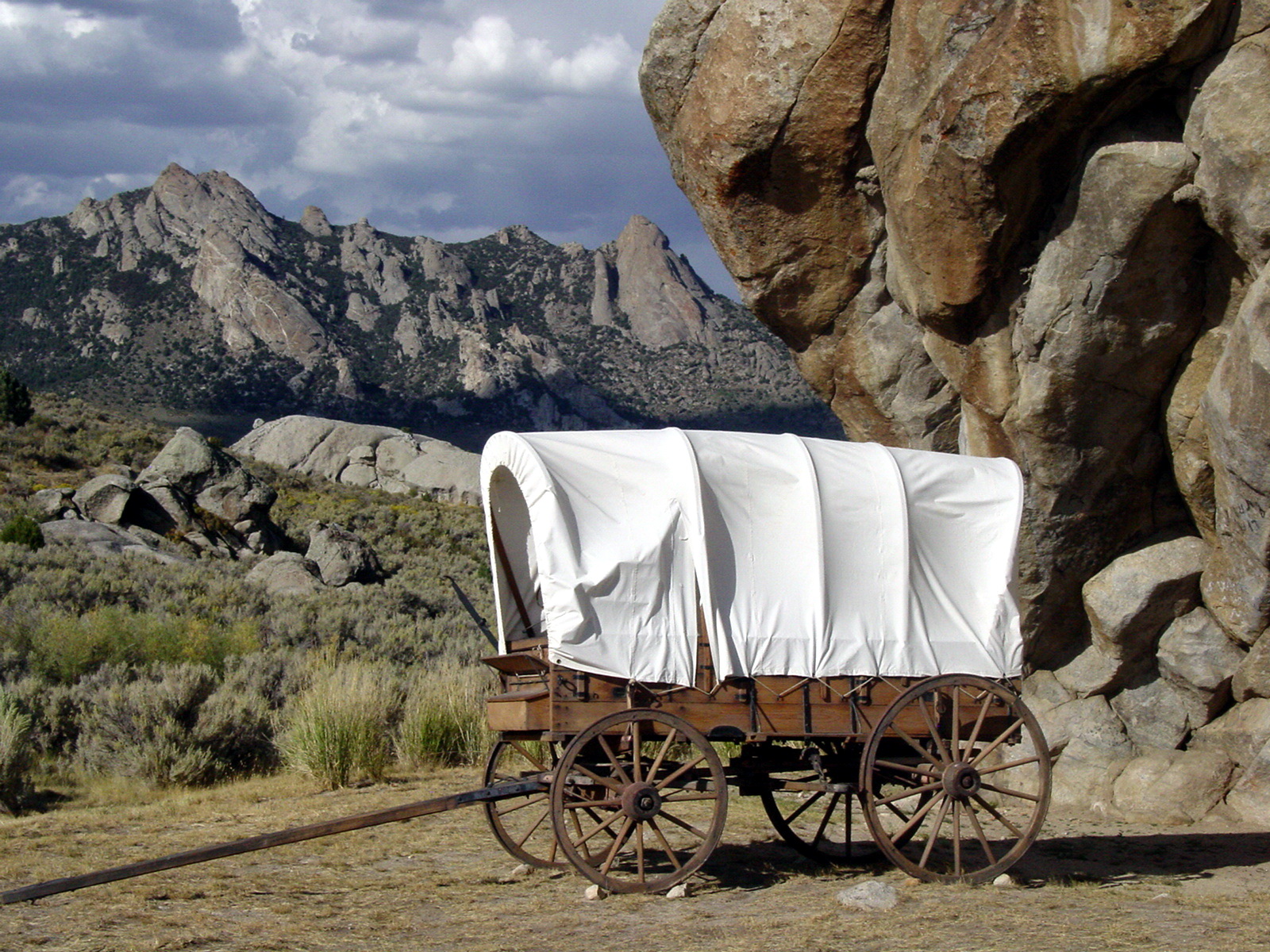
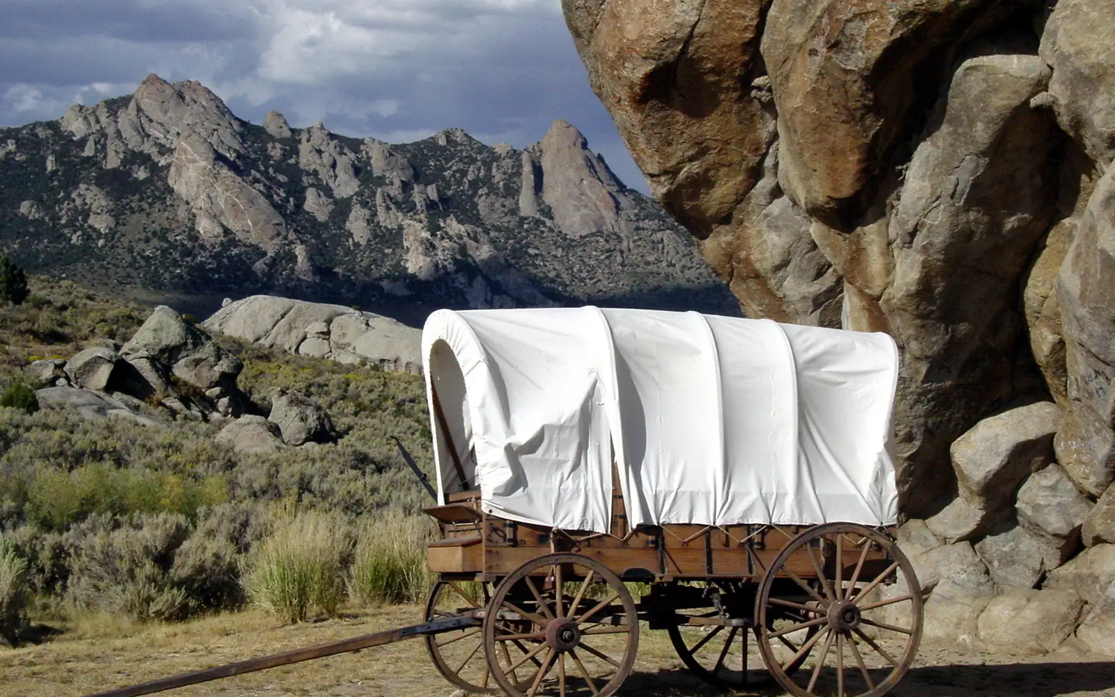
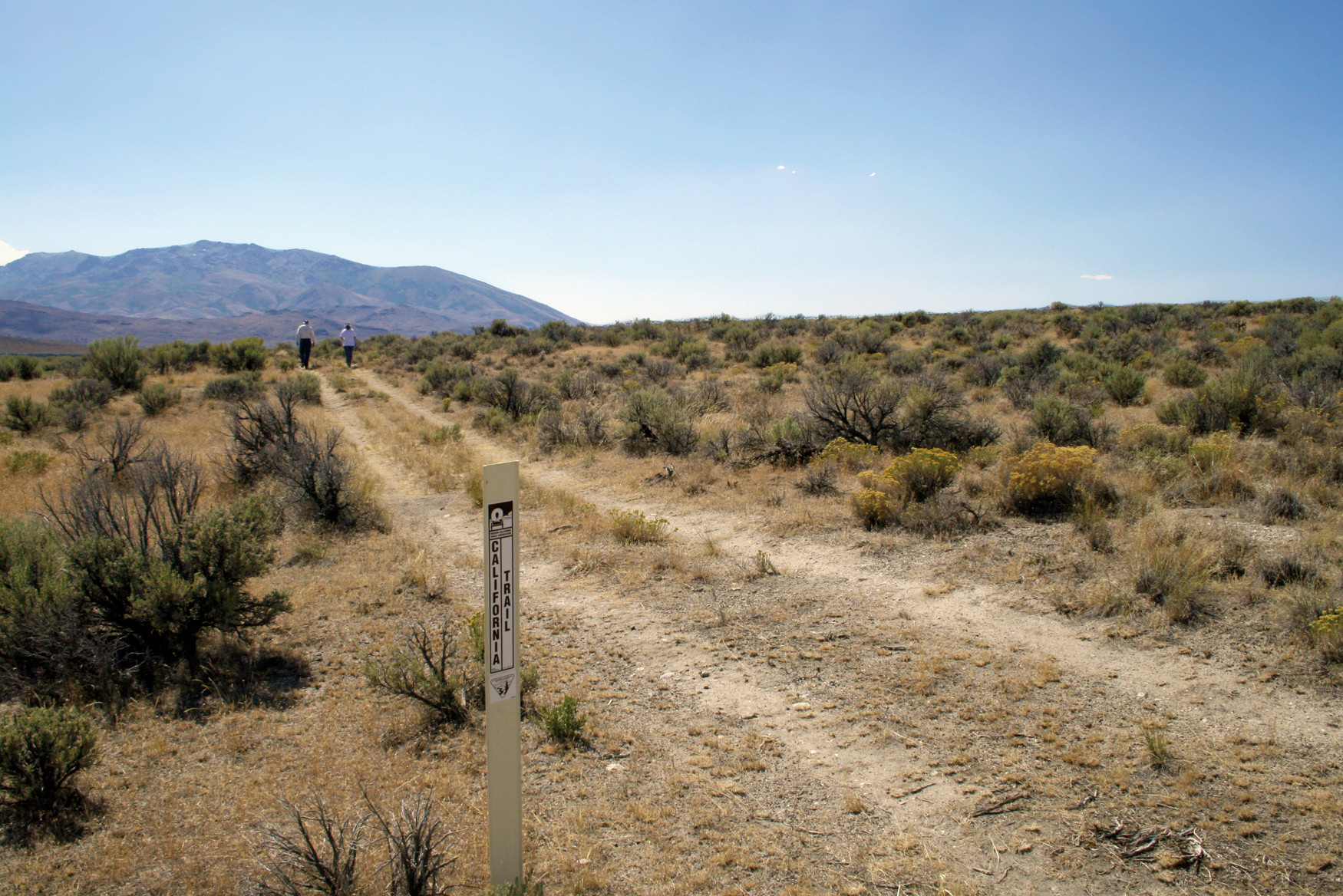
The California National Historic Trail offers a compelling, if diffuse, journey across a pivotal chapter in American expansion. Its core appeal lies in the tangible remnants of the past: actual wagon ruts, preserved for nearly 175 years in the soil of Wyoming and Nebraska. This trail is not a single destination but a vast, distributed experience. Scenic driving along documented corridor routes allows for modern exploration of historic paths. Self-guided auto tours provide useful structure for those traversing its immense scope. For active visitors, preserved trace segments on public lands invite hikers and equestrians to follow in the footsteps of pioneers. Museum exhibits along the route effectively contextualize the landscape, bringing history to life. Families can engage with the Junior Ranger Program at interpretive stops. Guided tours at specific sites offer deeper historical insight. Entry is consistently free at all NPS-administered components, making it an accessible historical complement to a broader western itinerary. This trail demands patience and an appreciation for scattered historical markers, rather than a singular grand vista.
Best for
This is a destination for the dedicated. History enthusiasts, long-haul road-trippers, and those keen to retrace emigrant routes on horseback or foot will find significant rewards. However, visitors seeking a cohesive park experience, defined loop trails, or a central interpretive hub should adjust expectations. This is a researcher's trail. Casual sightseers will likely be frustrated.
Best season
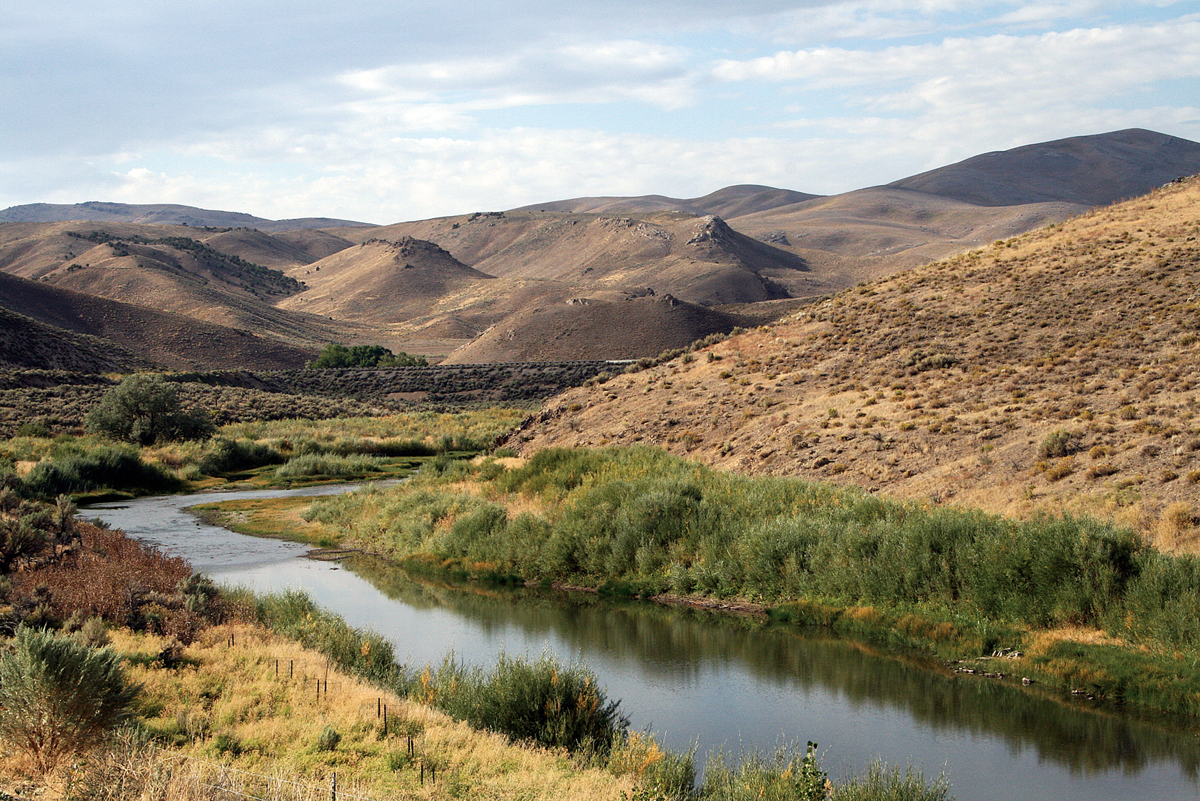
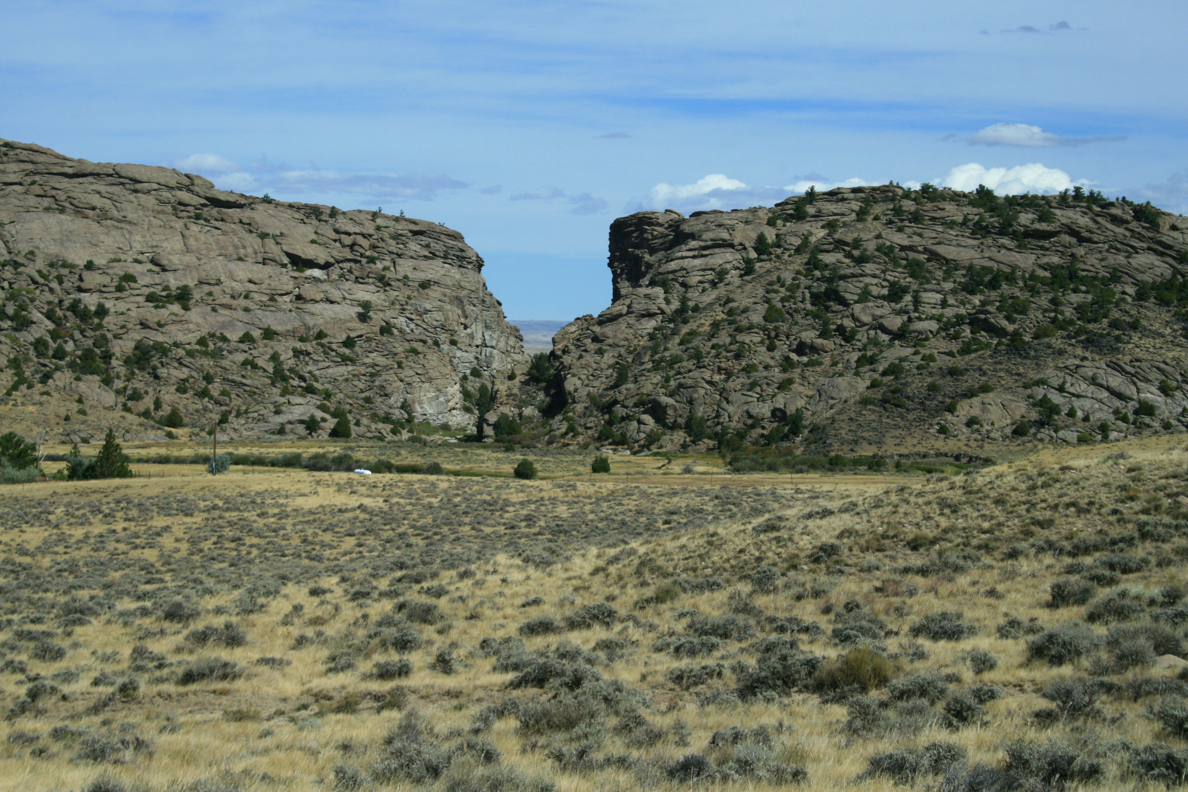
No single best season exists for traversing this trail. Mountain segments, including those in Wyoming, Nevada, and Idaho, remain snowbound from October through May. Conversely, plains sections in Kansas, Nebraska, and Missouri offer optimal conditions during spring and early fall. Summer facilitates high-elevation access but introduces significant heat to desert corridors. Consult local forecasts via weather.gov for specific segment conditions before any visit.
The high points
- Over 1,000 miles of surviving wagon ruts and physical traces still visible on the landscape
- Scenic driving routes that follow documented emigrant corridors across multiple states
- Horseback riding and hiking on preserved trail segments on public lands
- Museum exhibits at various sites interpreting the Gold Rush migration story
- Self-guided auto tours that structure the experience across specific regional segments
- Junior Ranger Program activities at interpretive stops, suitable for kids of multiple ages
Know before you go
The California National Historic Trail offers a diffuse, complex experience. Entry is free. There is no central visitor center or single starting point. Visitors must identify a specific state or trail segment, then use the NPS website to find sites, auto tour routes, and land management contacts. Access and facilities vary significantly by land ownership, from private corridors to BLM land or state parks. This requires careful planning. Casual sightseers should look elsewhere. This trail suits dedicated history enthusiasts ready for a self-guided adventure across varied terrain.
One more thingPlanning is essential. Without the correct NPS auto tour route map for your specific state, unmarked scrubland is all you will see. Acquire the relevant segment map to find interpreted sites and visible ruts.