Is Wallowa & Grande Ronde Wild and Scenic Rivers worth your trip?
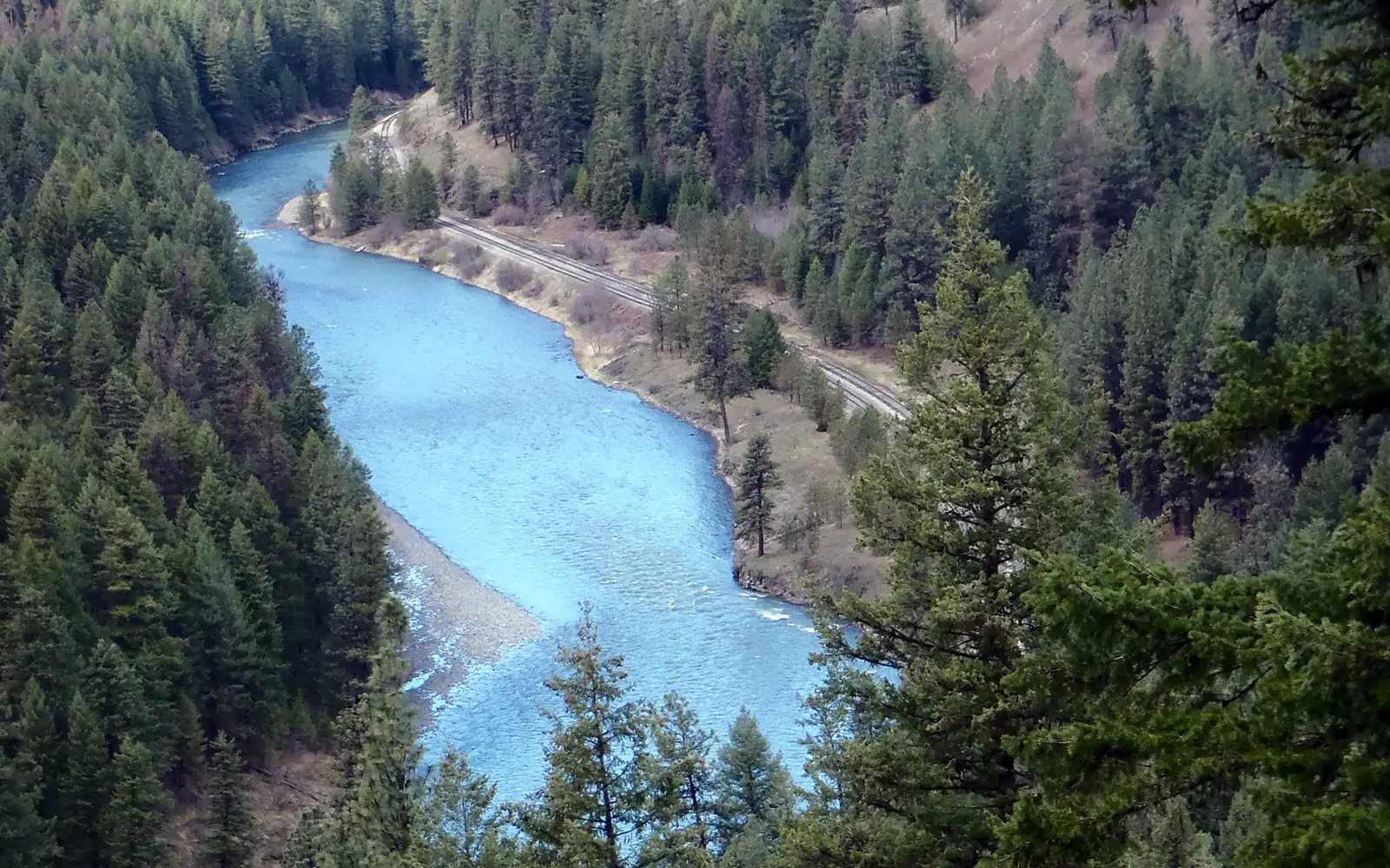
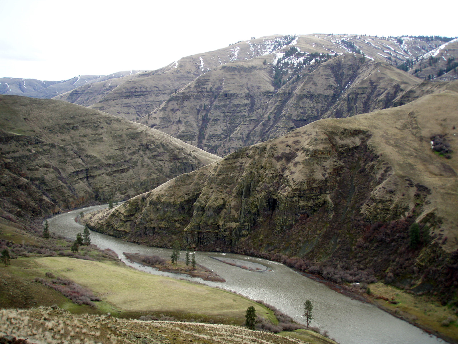
This river corridor recreation area, comprising 90 miles of federally protected wild and scenic river, offers a distinct experience.
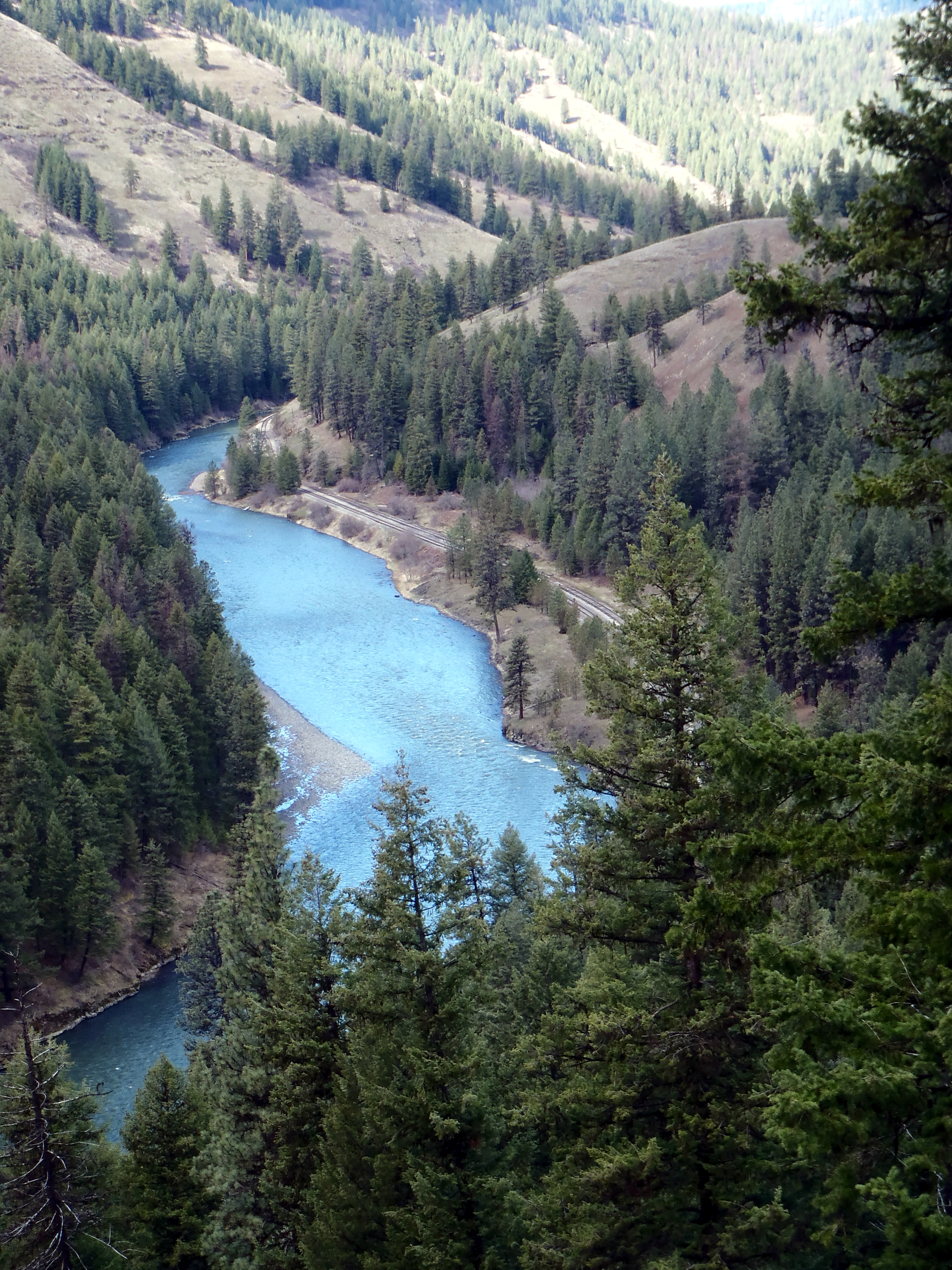
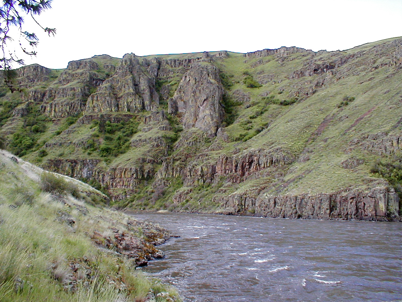
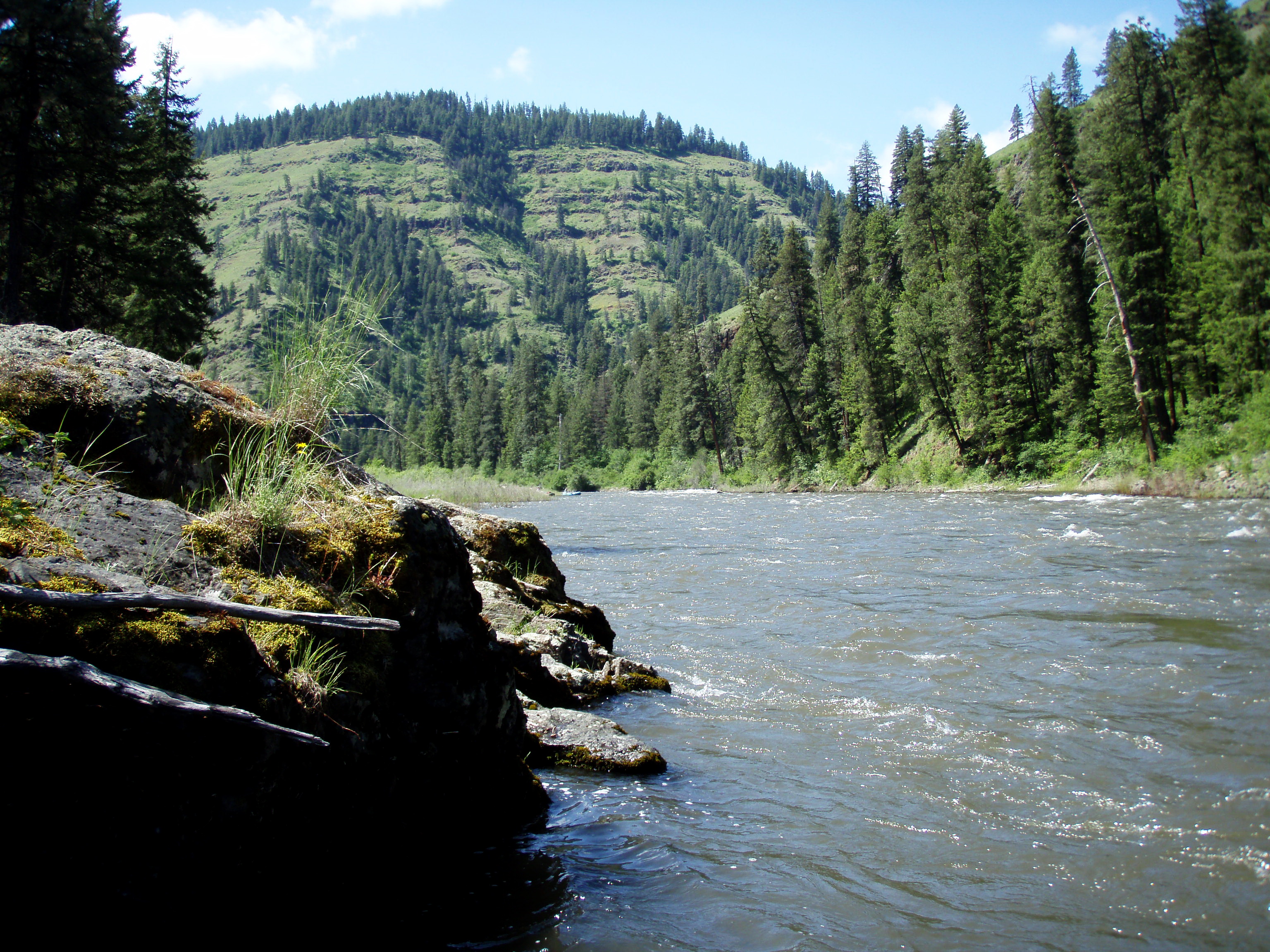
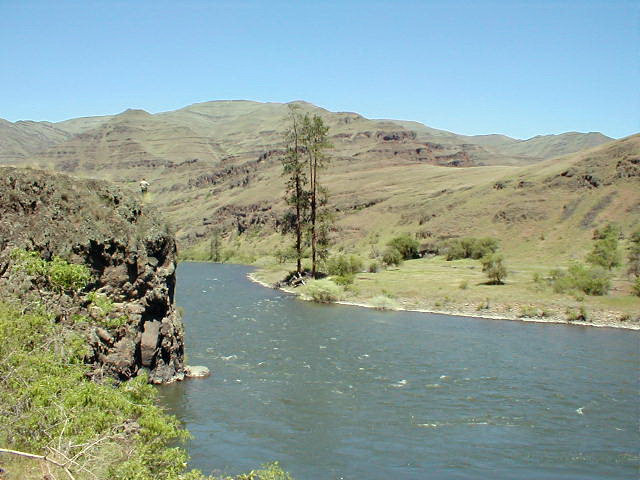
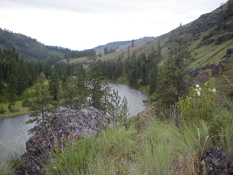
It is not a traditional national park with visitor centers or paved overlooks. The Wallowa and Grande Ronde rivers, managed jointly by BLM, the Forest Service, and Oregon Parks, create a legitimate multi-day paddling route through northeastern Oregon canyon country. The experience here is self-directed and demands planning. There is no entrance fee and no single gateway entrance, necessitating research into access points before arrival. Hikers, anglers, swimmers, and wildlife watchers will find substantial offerings. The data makes the case for a genuine backcountry river trip without crowds. For casual day-trippers expecting extensive signage and infrastructure, this unit will feel incomplete.
Why go
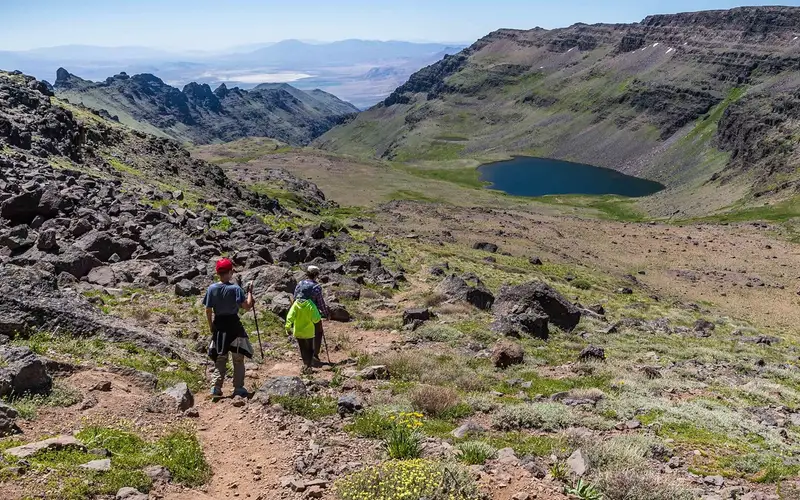
This unit's signature experience is a two-to-three-day float, launching at Minam. The journey follows the Wallowa River into the Grande Ronde, with riverside camping as the canyon deepens. Wildlife viewing is excellent, with the riparian corridor concentrating birds and mammals. Anglers frequent the river for its fishing. Multiple put-in points provide access for hikers to the canyon walls and surrounding terrain. Swimming is documented and accessible. This combination of paddling, fishing, hiking, and camping within an undeveloped river canyon is rare on the West Coast, particularly without an entrance fee. The free access and multi-sport potential make a long weekend here genuinely rewarding.
Best for
This unit caters to specific outdoor pursuits. Paddlers planning multi-day floats will find it ideal, as will anglers targeting river fish. Dispersed, self-supported campers are well-suited here. Hikers who appreciate undeveloped canyon terrain will also find value. Families with young children, or those seeking developed park infrastructure, should look elsewhere. This is not a drive-up scenic destination.
Best season
Optimal paddling flows run from late spring through early summer. Summer offers comfortable camping and swimming temperatures. Fall provides excellent fishing with fewer crowds. Winter access is limited by cold, wet canyon conditions. Check river levels before any float trip, as seasonal flows fluctuate significantly.
The high points
- Multi-day paddling route from Minam through the Grande Ronde canyon corridor
- 90 miles of federally designated Wild and Scenic River at no entrance cost
- River fishing along a protected, largely undeveloped corridor
- Riparian wildlife viewing in a canyon environment
- Swimming access including accessible swimming options along the river
- Dispersed camping along the river corridor for self-supported overnight trips
Know before you go
This unit charges no entrance fee. However, visitors must plan all access points with care, as there is no single park entrance. The corridor's co-management by the BLM and Forest Service necessitates checking both agencies for current conditions. Given the one-way nature of the river, float trips require advance shuttle logistics. Casual sightseers should look elsewhere.
One more thingThe classic Minam to Heller Bar float requires careful planning. River levels in northeastern Oregon shift rapidly in spring. A trip appearing comfortable for three days can intensify dramatically if undertaken early in the season after snowmelt. Scout shuttle logistics thoroughly. Build in a buffer day. This is a trip for experienced river travelers who understand dynamic conditions. Casual sightseers should look elsewhere.