Is Wisconsin River Islands worth your trip?
Wisconsin River Islands presents a unique proposition among national recreation units.
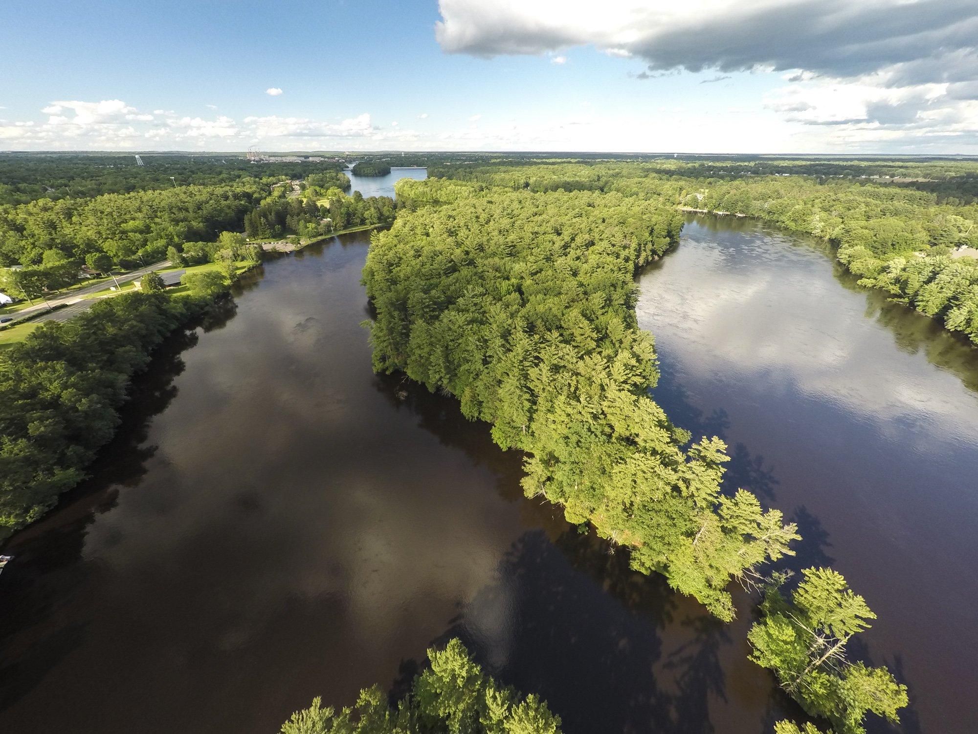
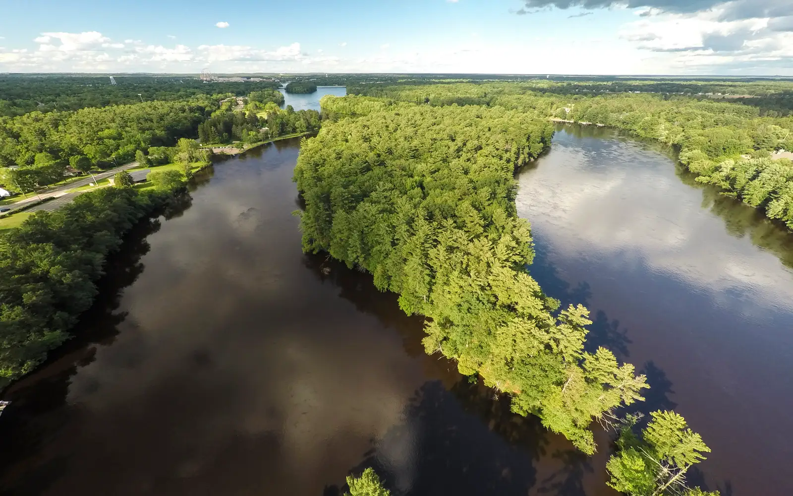
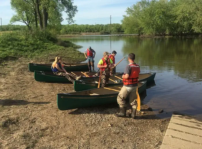
This is not a conventional park with defined boundaries or visitor services. Instead, it comprises over 500 discrete, publicly managed islands dispersed across Wisconsin's rivers and lakes. The Bureau of Land Management oversees these lands, emphasizing self-directed recreation. Access is entirely by watercraft: a canoe, kayak, or motorboat is essential. There are no entrance gates, ranger stations, or marked trails. This decentralized structure caters directly to experienced paddlers, anglers, and hunters familiar with Wisconsin's waterways. For this demographic, the islands offer an exceptional, free resource. However, visitors anticipating traditional national park infrastructure, interpretive programs, or guided experiences will find this unit confusing and likely disappointing. The documented breadth of possible activities drives its score of 82, not its accessibility to the casual sightseer. Serious outdoor adventurers will appreciate this offering. Others should adjust their expectations accordingly.
Why go
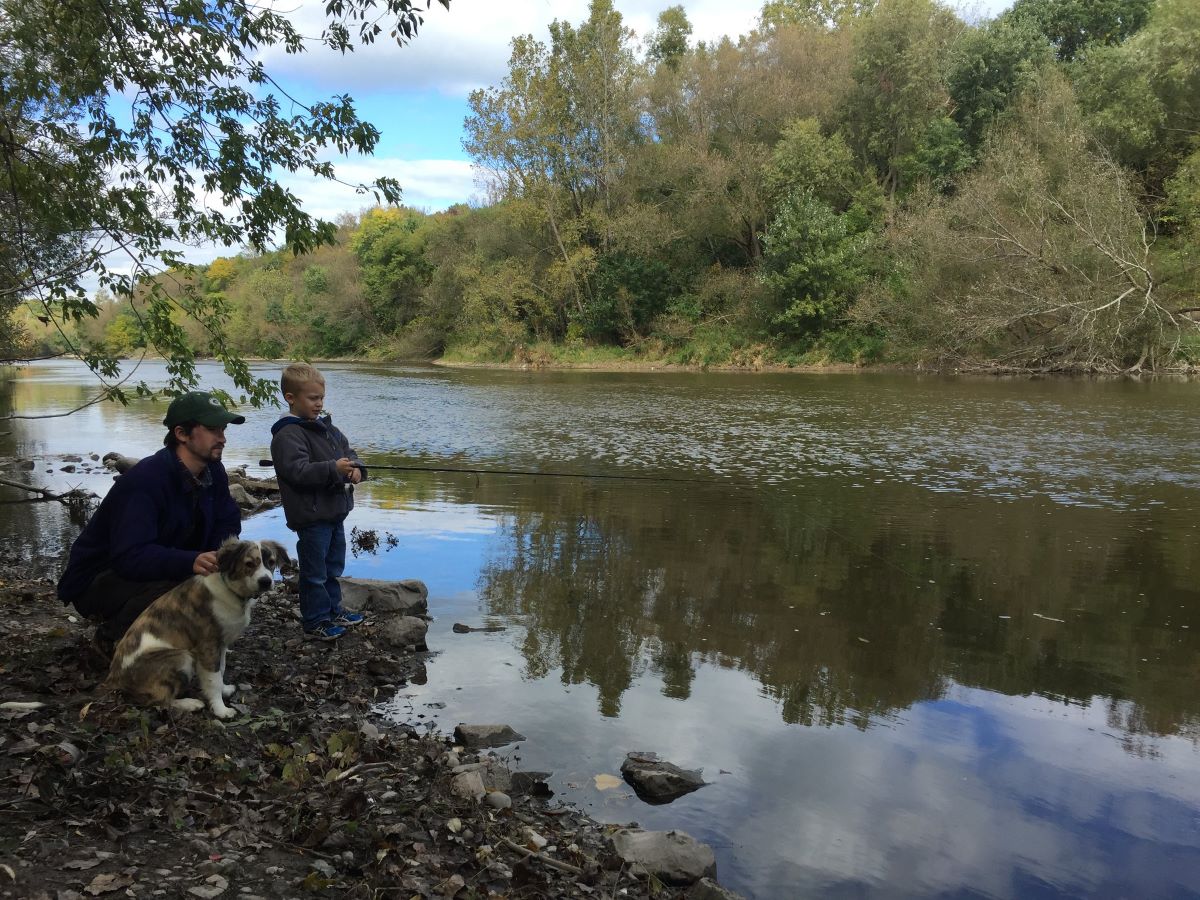
This island system caters to the self-sufficient. Its 20 river systems and more than a dozen lake counties distribute public access across the state. A good day here involves launching a canoe or kayak from an access point. From there, paddle to an island. Set up a primitive camp. Fish from the bank at dusk. Wake to birdsong with no neighbors. This experience is widely accessible. Hunting adds a fall dimension. Wildlife viewing and photography are genuine draws, given the rich riparian corridors these islands occupy. Swimming and picnicking on a sandbar island in midsummer costs nothing. It requires only a boat. Casual sightseers should look elsewhere. This is for those who bring their own adventure.
Best for
This unit caters to self-sufficient paddlers, anglers, hunters, and birders comfortable with independent navigation of Wisconsin waterways. Its appeal lies in dispersed, free, low-crowd public land access. The
Best season
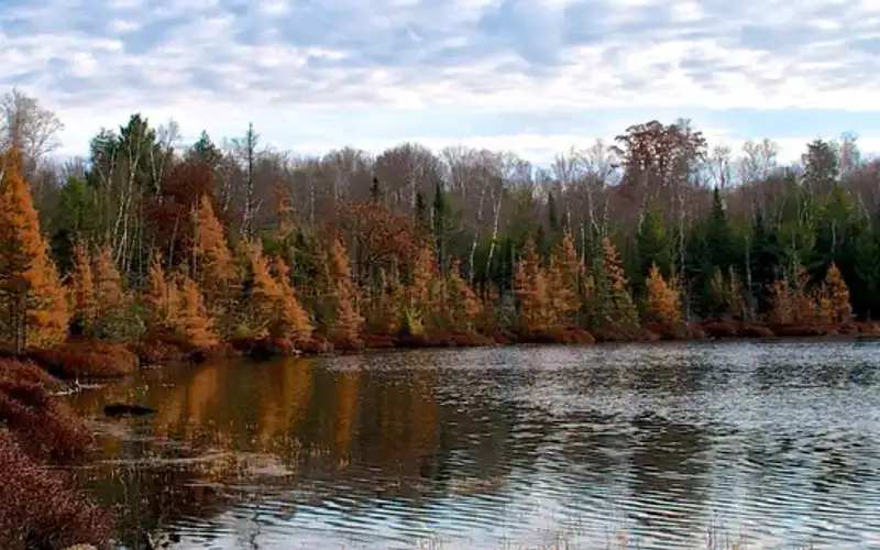
This park is a seasonal destination. Peak use spans late spring through early fall, favoring paddling, camping, fishing, and swimming. Summer weekends on key river corridors see crowds; weekdays offer more solitude. Fall delivers exceptional birding during migration and allows hunting. Winter access to most river islands is largely impractical due to ice and cold.
The high points
- Primitive island camping accessible only by canoe or kayak, free with no reservation system
- Fishing along riparian corridors across nearly 20 river systems statewide
- Birding during spring and fall migration in undisturbed river and lake island habitats
- Hunting access on BLM islands during applicable Wisconsin seasons
- Photography of river landscapes, sandbars, and wildlife with minimal human infrastructure
- Swimming and picnicking on remote islands with no entrance fee
Know before you go
This unit presents an unusual proposition. Free to enter, with varied island ownership, it demands careful preparation. Before camping or hunting, visitors must verify BLM boundaries using Wisconsin state office maps. No facilities are provided on the islands themselves. This is a self-sufficient experience. Access almost universally requires personal watercraft. Wisconsin state fishing and hunting licenses are valid on BLM lands within the unit. Casual sightseers should look elsewhere. This destination caters exclusively to independent recreationists who arrive fully prepared.
One more thingThe Wisconsin River corridor, specifically the stretch between Prairie du Sac and Muscoda, presents the most accessible entry point to this unit. Its well-documented BLM sandbars and islands, coupled with numerous public launch points, make it ideal for new visitors. Beginning here allows for a gradual introduction before venturing into the more remote northern river systems.