parkverdict
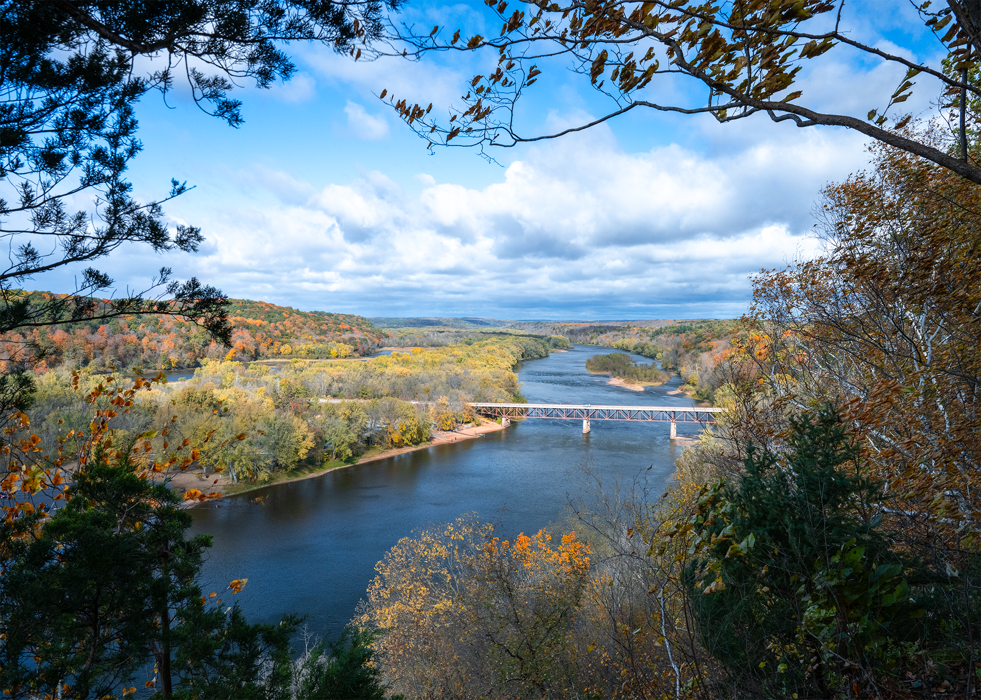
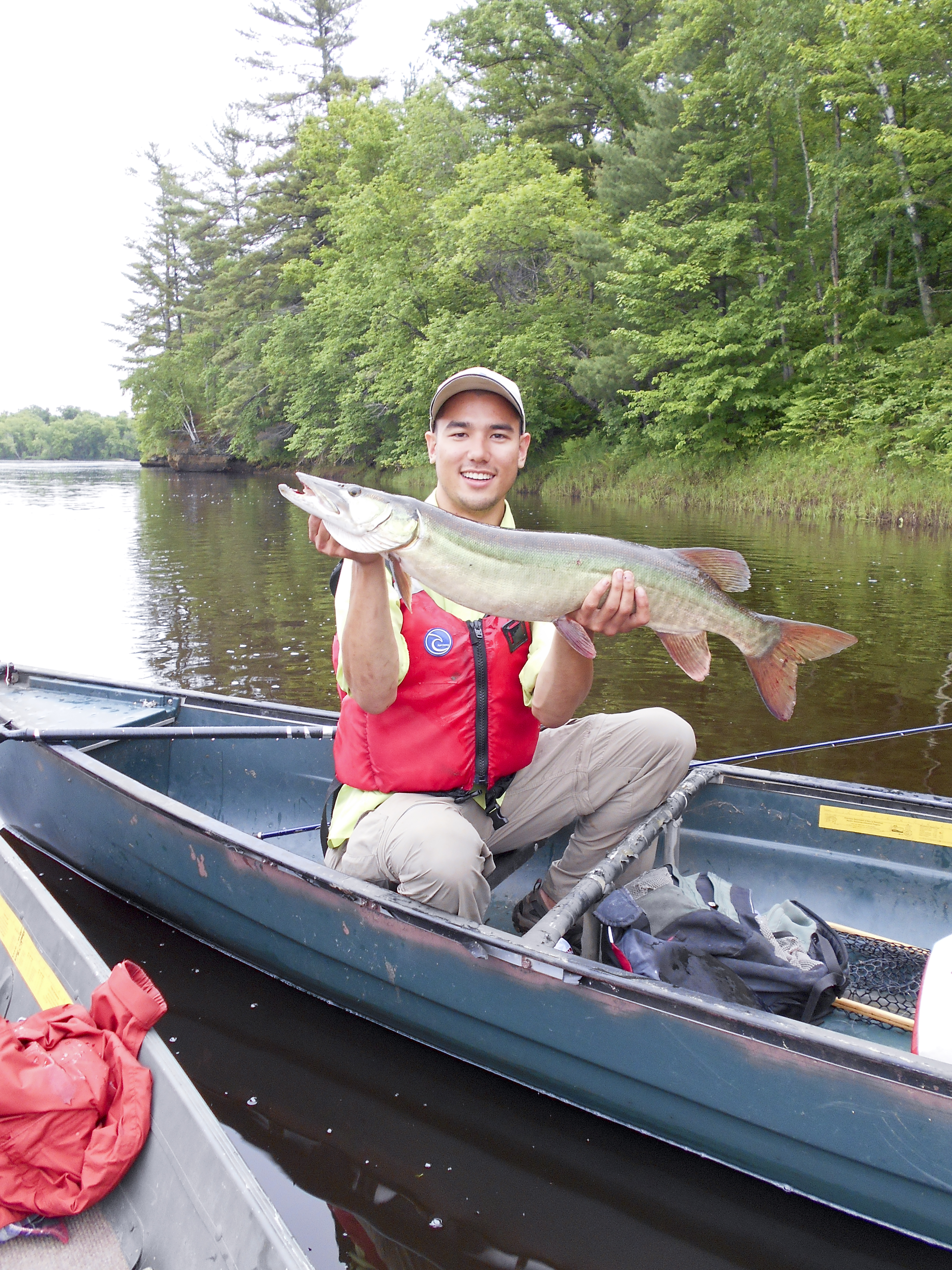
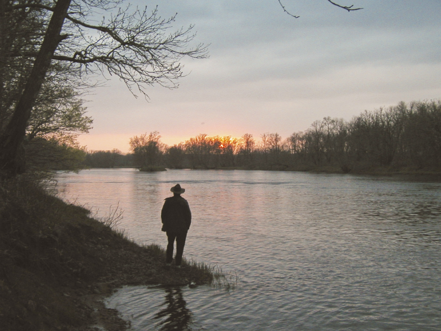
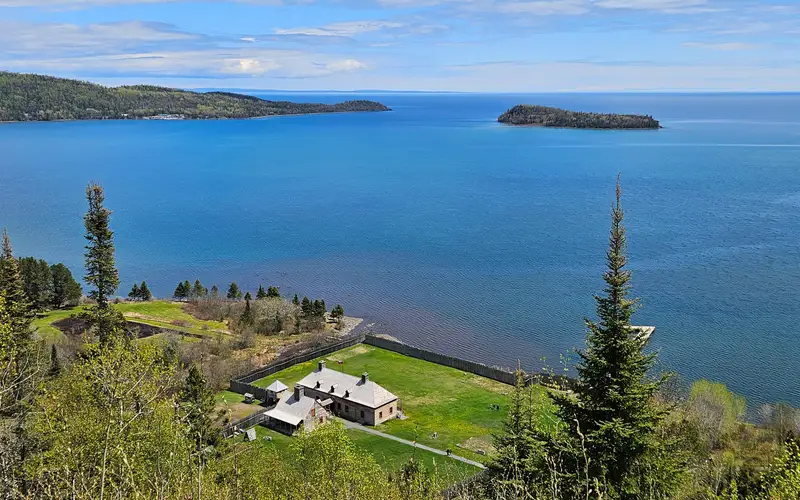
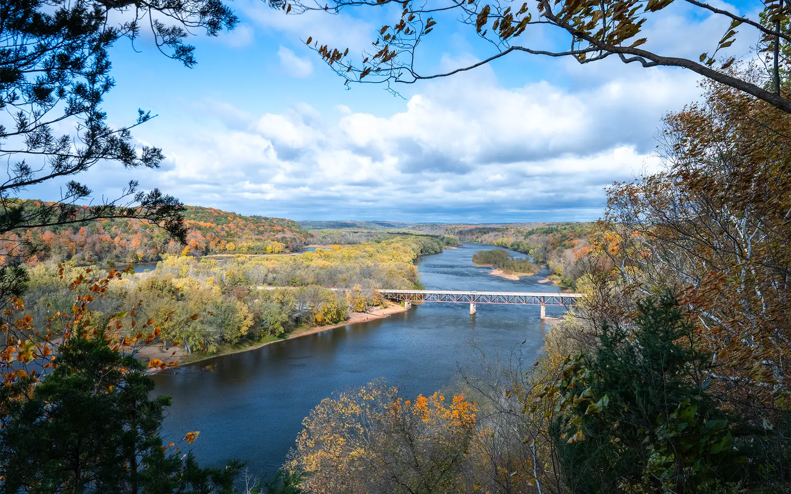
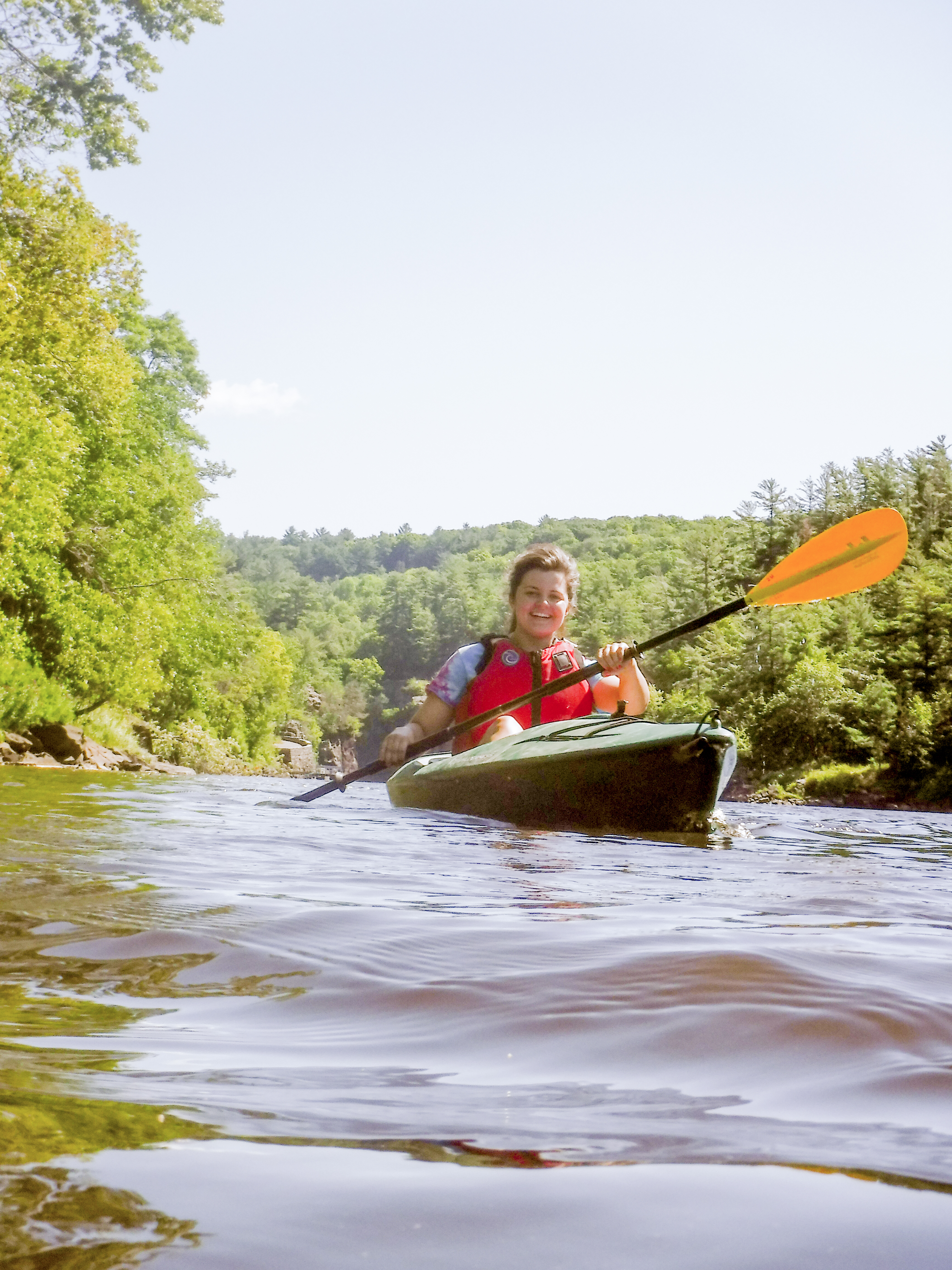
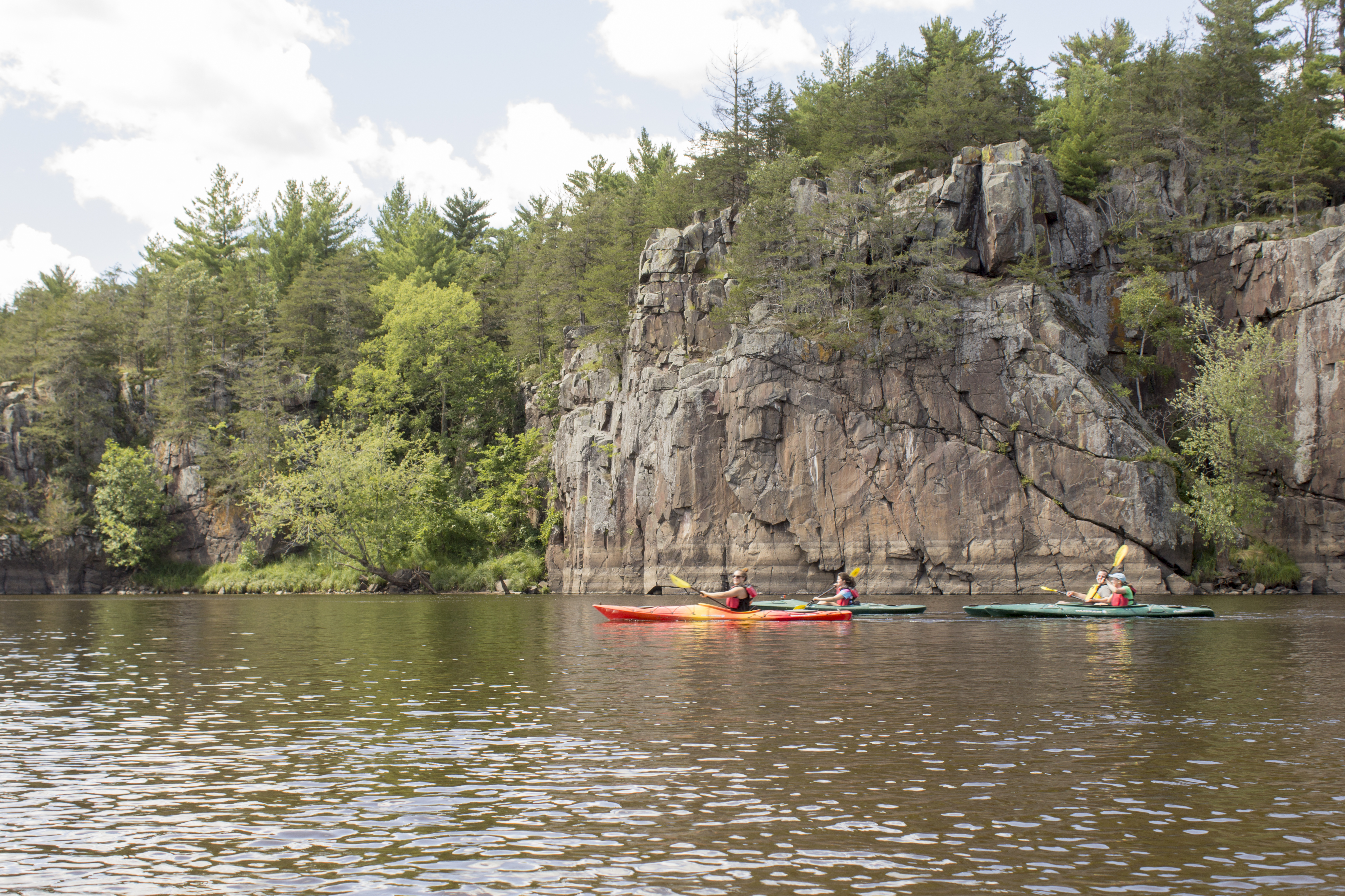
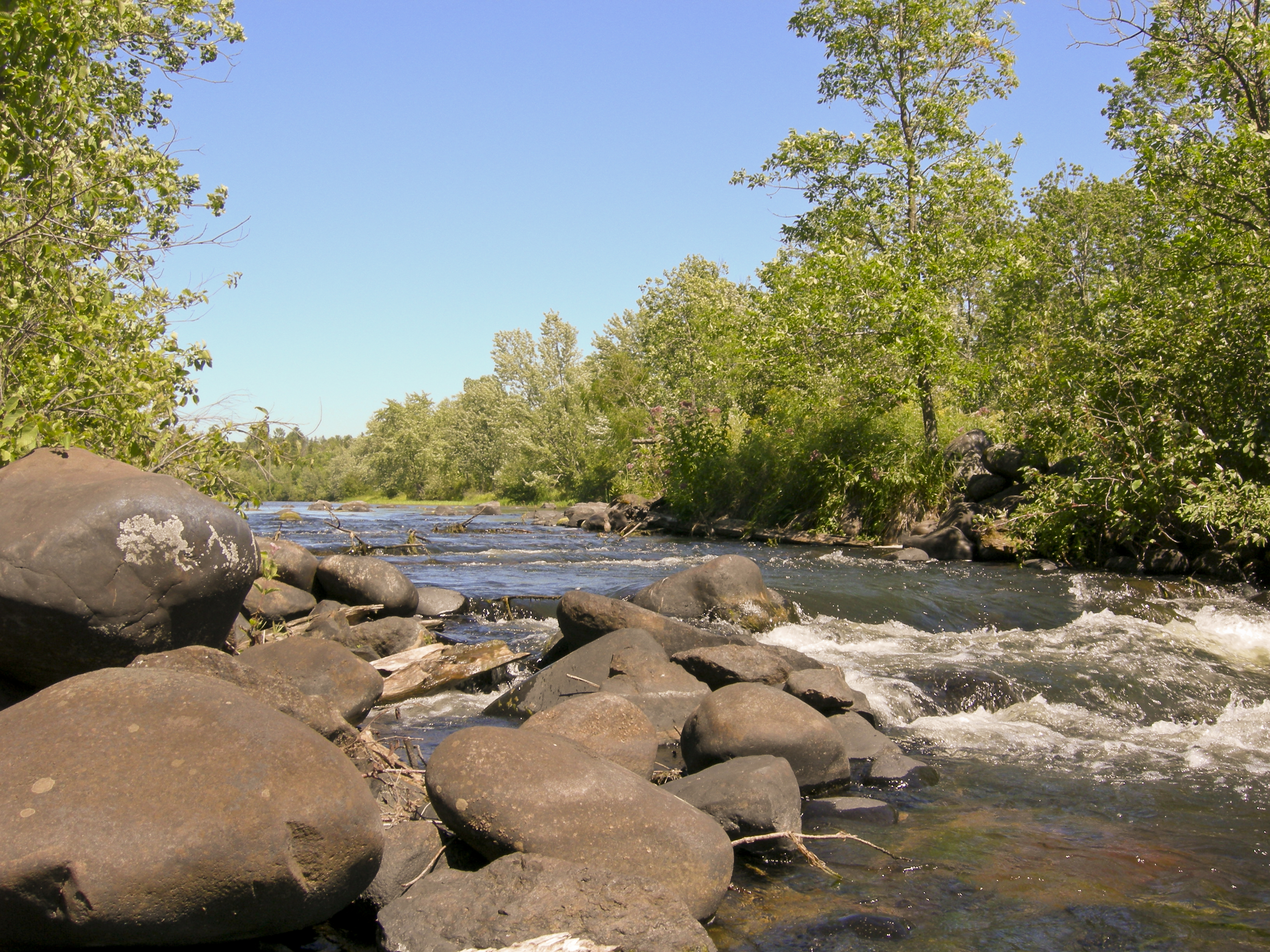
A blue river winds through a valley lined with trees in autumn color.A woman paddles a kayak past cliffs on a forested river.Kayakers pass impressive cliffs.A fast river flows over large rocks in a forested landscape.
National Scenic RiverwayWI / MN

Saint Croix National Scenic Riverway

NPS / NPS / Pete Wintersteen
92/ 100DOES IT ALL
parkverdict Experience ScoreIndependent, not sponsored

92 of 100. Our independent breadth-and-access index. How we score

Our take

Is Saint Croix National Scenic Riverway worth your trip?

Saint Croix National Scenic Riverway runs more than 200 miles along the St.

Croix and Namekagon rivers, crossing both Wisconsin and Minnesota. You cannot drive through it and check it off a list. Almost everything worth doing here happens on or beside the water: multi-day canoe trips, fishing for walleye and trout, camping on the riverbank, floating downstream on a tube. Most of the corridor is forested and genuinely quiet, wild in a way that asks some effort from you before it rewards you. It carries a 92 experience score and has no entry fee, yet it gets far less attention than a place like this deserves. Families, serious paddlers, and anglers tend to leave satisfied. If you show up expecting visitor-center amenities or one dramatic overlook to photograph, you will be disappointed. Bring a boat, a tent, and a few days, and the river will give you plenty to work with.

Why go

A good long weekend here looks like this: drop a canoe or kayak into the Namekagon or upper St. Croix, set up camp at a riverside site, wake to birds along forested banks, and spend the afternoon fly fishing a cold stretch of water. The river system handles everything from easy flat-water paddling to faster spring currents that genuinely demand your attention. On the calmer reaches, tubing works fine as a warm-weather option. Hikers can pick up trails at various landings and the surrounding areas. For families, the citizen science and Junior Ranger programs give you something more structured than just floating downstream. There is no entrance fee anywhere in the system, so the real costs come down to gear and time. Not many NPS units pack that much length and variety into a zero admission price.

Best for

Paddlers, anglers, and families who camp will feel right at home, and multi-day canoe trippers especially get some of the best NPS river camping in the Midwest. The forested corridor pulls in birdwatchers and wildlife watchers too. That said, if you prefer short paved walks, a one-day scenic drive, or a single concentrated landmark to check off a list, this park will probably leave you underwhelmed.

Best season

Late May through early September is the sweet spot for paddling, fishing, and camping. Temperatures are warm, water levels are reasonable, and every landing is open. Avoid early spring unless you have actual experience handling high, fast, cold snowmelt water. Late September earns its reputation, bringing fall color, thinner crowds, and cooler conditions on the water. Summer does carry real severe weather risk, so keep an eye on forecasts.

The high points

  • Over 200 miles of paddleable river across two distinct waterways, the St. Croix and the Namekagon
  • Canoe and kayak camping directly on the riverbanks across the length of the system
  • Freshwater fishing including fly fishing on cold, clean water
  • Tubing on calmer river sections as a family-friendly warm-weather option
  • Wildlife and birdwatching along a largely forested, undeveloped river corridor
  • Junior Ranger and citizen science programs that give kids structured riverway engagement

Know before you go

No entry fee applies anywhere along the Riverway's length. Access points, boat landings, and trailheads are spread across a long corridor in both Wisconsin and Minnesota, so sort out your put-in and take-out spots before you leave home. Some landings and trails close seasonally, and spring water conditions can turn dangerous fast. Cell coverage drops out across many stretches, so bring paper maps or download your routes offline before you go.

One more thingThe upper Namekagon is shallower and slower than the lower St. Croix, which makes it a more forgiving place to start. If your group has mixed skill levels, putting in there instead of jumping straight onto the main St. Croix gives everyone a calmer first day on the water.

How we scored it

Behind the 92

The number is not a mood. It is a few things we can actually check in public records, added up and capped so no single one runs away with the total. It tracks how much a place has going on and how easy it is to reach, and nothing about scenery or crowds. Here is what added up to 92:

  • Activity breadth21 documented activities
  • Topic breadth6 topics
  • Official imagery6 public-domain images
  • Camping on sitedocumented
  • Entry costfree

No number is hand-adjusted and no unit pays for placement. The full weights, the floor at 18 and a worked example are on how we score.

The honest limits

The honest blind spots

Read the score for what it is. It counts what a place documents and how reachable it is, and stops there. It will not tell you if a sunset floors you, if the crowds thin out by dusk, whether a washout closed your trail, or how a ranger tells the story. Plenty of quiet, focused spots score modestly and still win the weekend. Let the number rank what is on offer; let the verdict speak to the feel.

Things to do

What it offers

BoatingMotorized BoatingCampingCanoe or Kayak CampingFishingFreshwater FishingFly FishingHands-OnCitizen ScienceHikingHunting and GatheringHuntingPaddlingCanoeingCanoe or Kayak CampingKayakingJunior Ranger ProgramTubing
Overview

About Saint Croix National Scenic Riverway

Pack a paddle and point yourself toward the St. Croix and Namekagon rivers. Together they make up the St. Croix National Scenic Riverway, more than 200 miles of clean water winding through forested land. You can paddle, boat, fish, or camp along the route, and the historic towns and hiking trails nearby are worth building into your trip.

On documented breadth and access, Saint Croix National Scenic Riverway ranks 4th of 7 park and public-land units we score in Wisconsin.

Climate note

The Riverway is open all year. Early spring temperatures climb into the 40s, and snowmelt pushes the water high, fast, and cold. Summers are warm and humid, with severe weather a real possibility from mid-spring through late summer. Fall color peaks in late September, when daytime highs average in the 60s.

Common questions

Saint Croix National Scenic Riverway: quick answers

Is Saint Croix National Scenic Riverway worth visiting?

Saint Croix National Scenic Riverway runs more than 200 miles along the St.

Is Saint Croix National Scenic Riverway free to visit?

No charge at the gate.

What is Saint Croix National Scenic Riverway best for?

It leans hardest toward hiking, camping, good with kids, water activities, going by the 21 activities it actually documents.

When is the best time to visit Saint Croix National Scenic Riverway?

Late May through early September is the sweet spot for paddling, fishing, and camping.

How is the Experience Score for Saint Croix National Scenic Riverway calculated?

The 92 comes straight from public data on how much the place documents and how easy it is to reach, things like activities, topics, photos, camping and whether entry is free. It says nothing about scenery or how busy it gets.