parkverdict
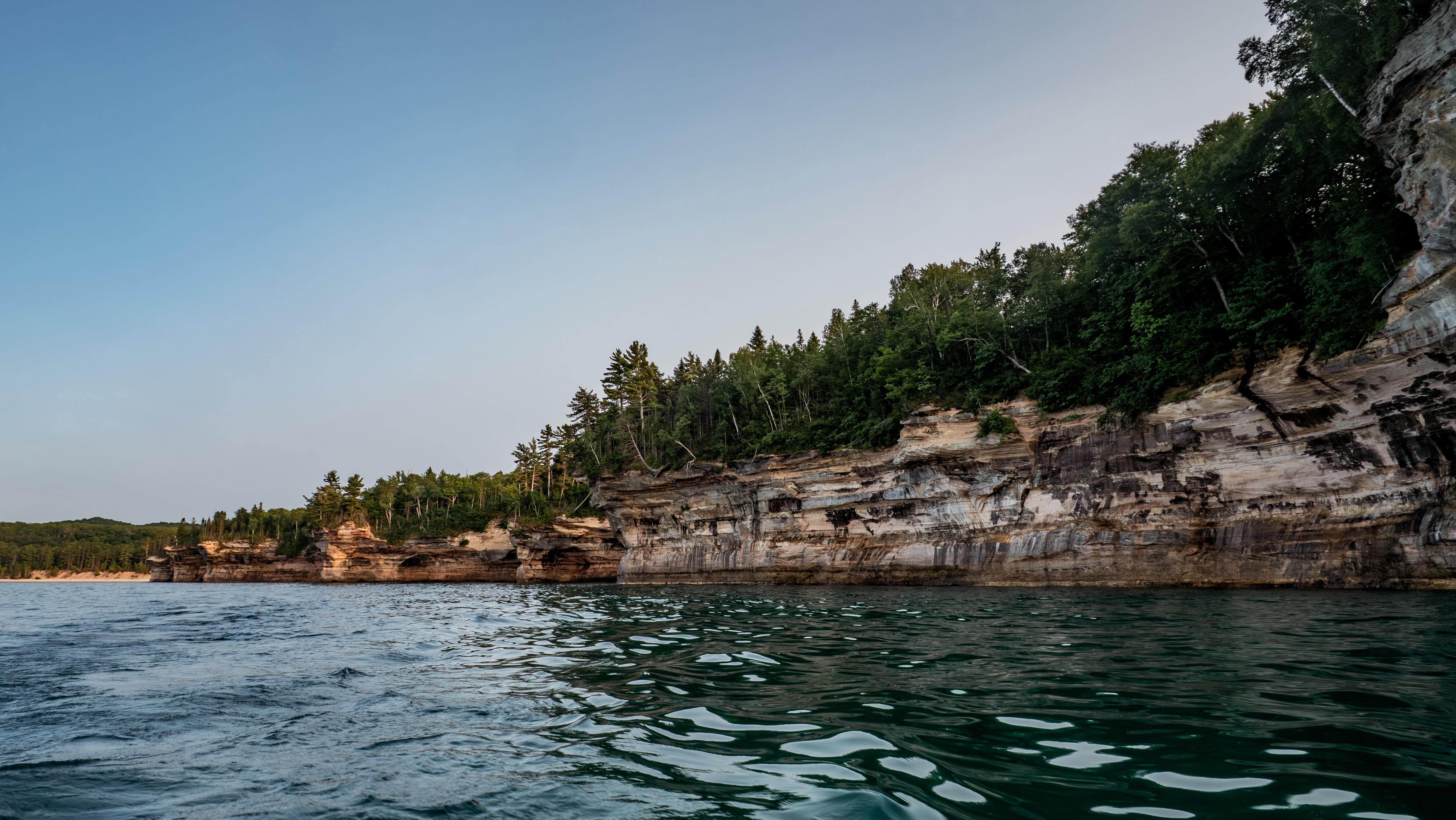
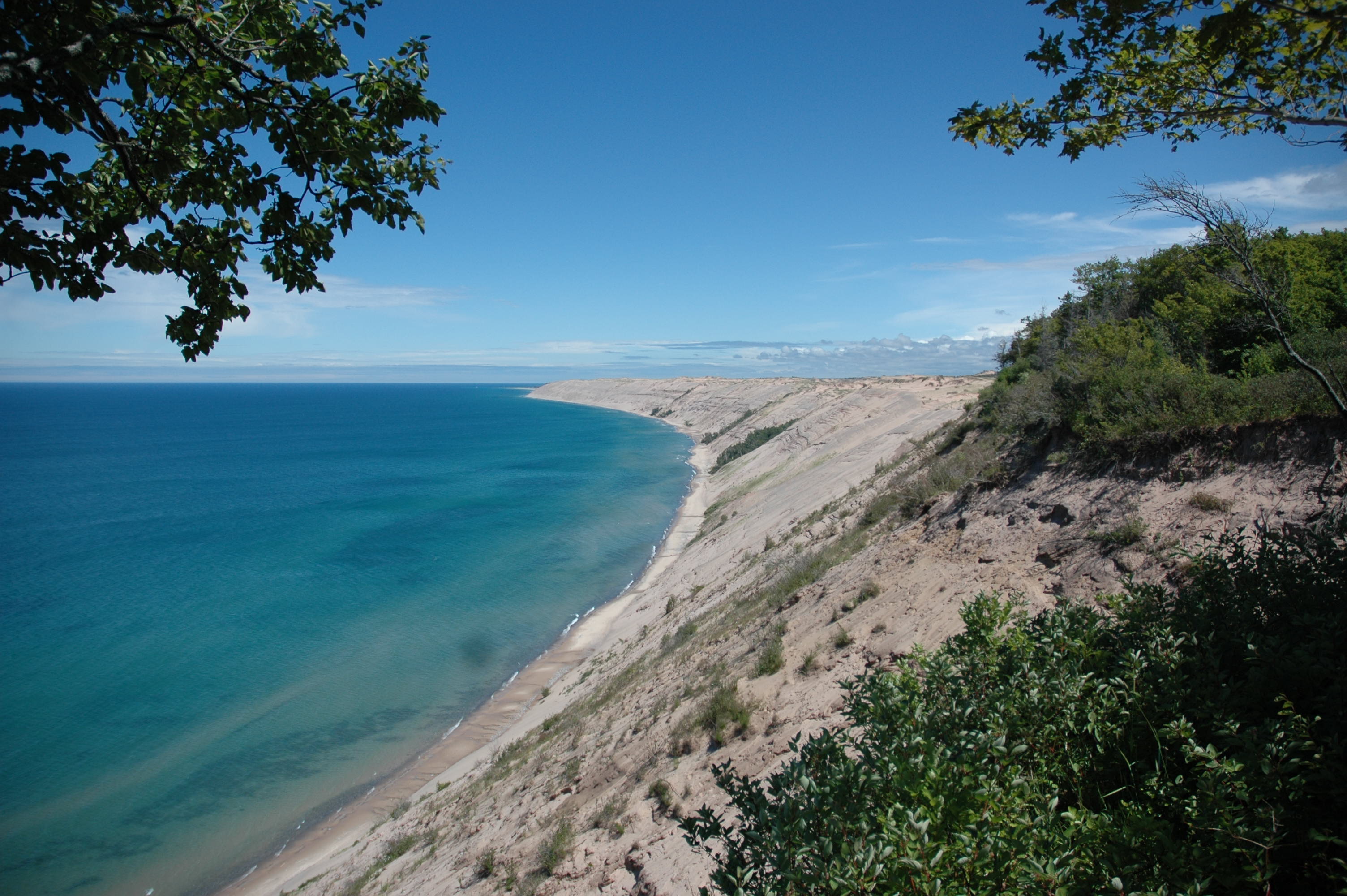
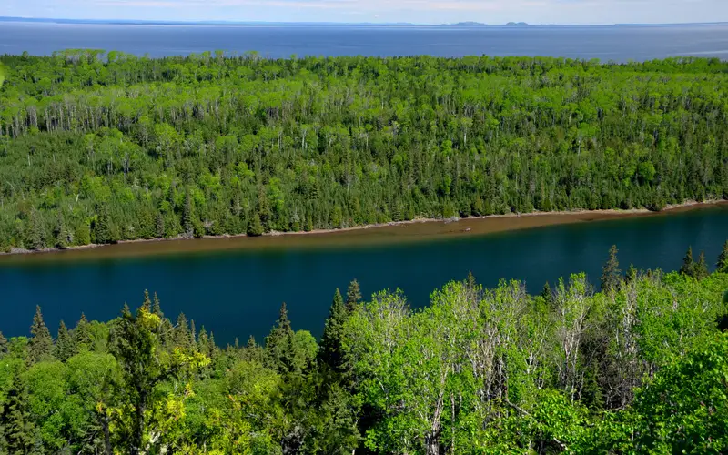
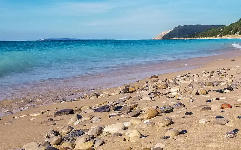
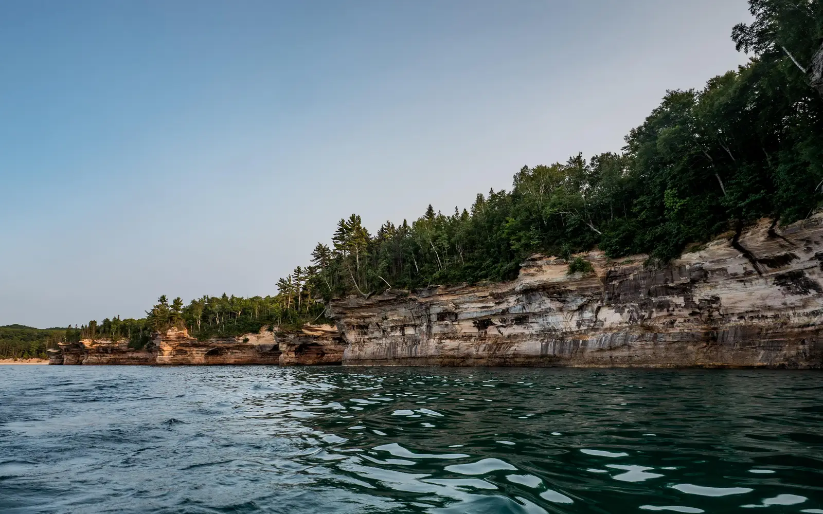
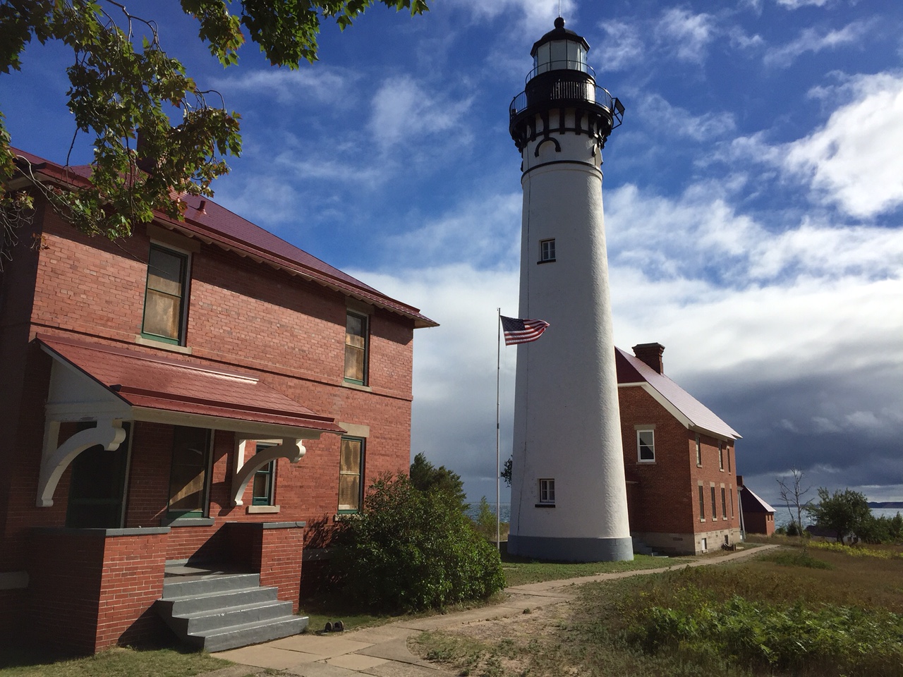
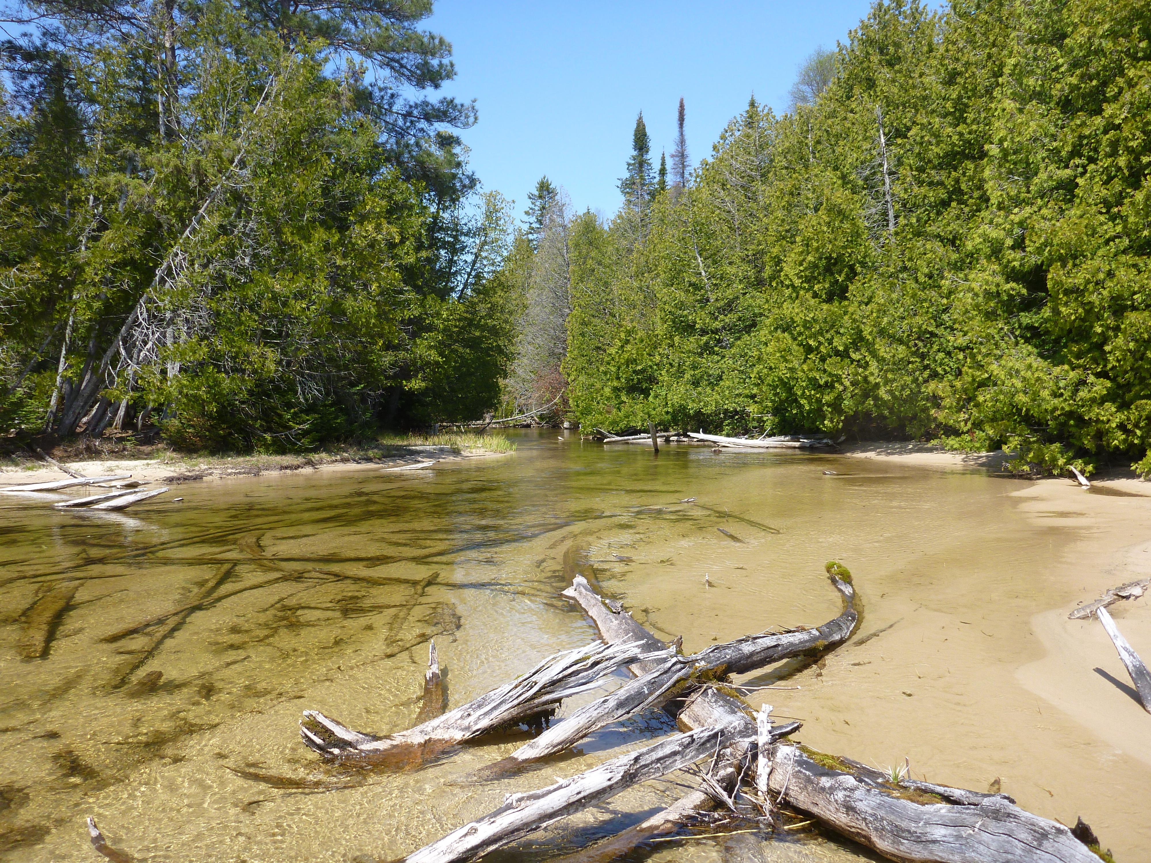
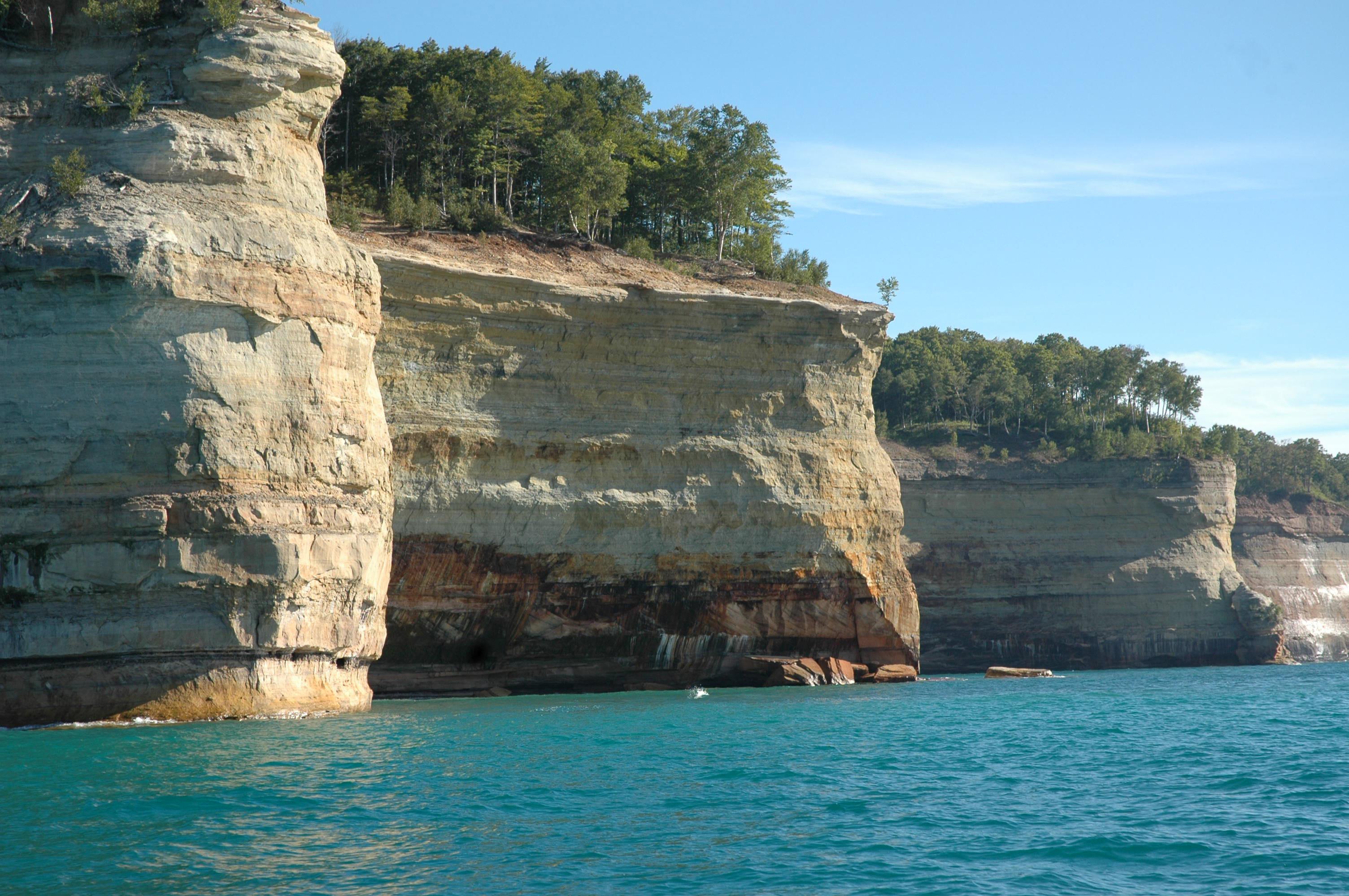
Multi-colored sandstone cliffs rise out of Lake SuperiorAu Sable Lighthouse and light keeper's quartersShallow creek narrowing through the forest.Three sections of cliffs sticking out into Lake Superior like the bows of battleships.
National LakeshoreMI

Pictured Rocks National Lakeshore

NPS / NPS Photo
90/ 100DOES IT ALL
parkverdict Experience ScoreIndependent, not sponsored

90 of 100. Our independent breadth-and-access index. How we score

Worth it?

Is Pictured Rocks National Lakeshore worth it?

Pictured Rocks is one of the most visually striking freshwater shorelines in the country.

Mineral-streaked sandstone cliffs rise straight out of Lake Superior, and the water runs colors that feel more Caribbean than Midwestern. At 90 on our Experience Score, this is not a niche unit. It is a full-spectrum outdoor destination with documented activities across every season, from backcountry kayaking and ice climbing in winter to boat tours and front-country camping in summer. The lakeshore rewards visitors who actually engage with it. Paddlers and hikers get the best of the cliffs up close, while boat tour guests get a solid overview without the physical effort. It sits on Michigan's Upper Peninsula, remote by Midwest standards, so casual drive-through visitors may find the distance hard to justify. Spend two or more days here, though, and this place consistently delivers more than you expect.

The case for it

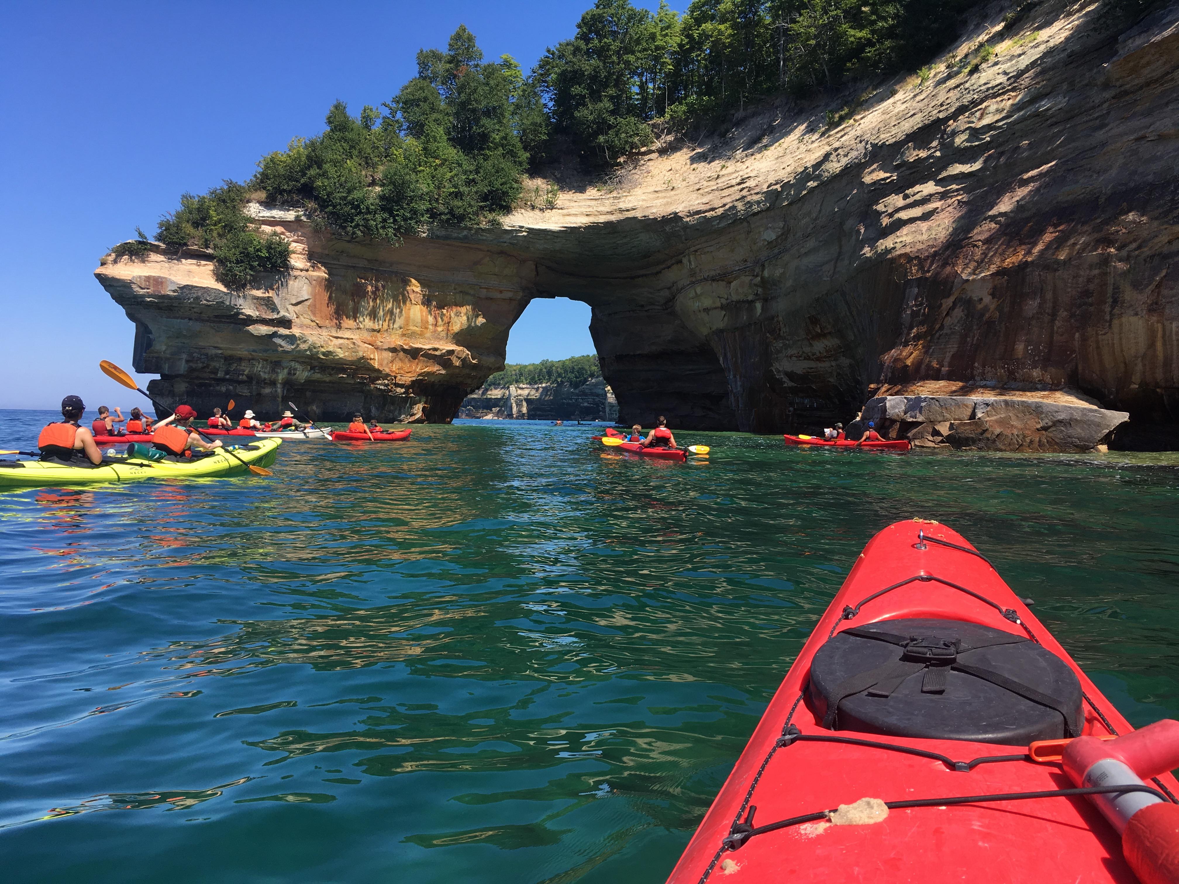
A good day might start with kayaking or canoeing right along the cliff face, close enough to read the colored rock formations and duck your head into sea caves. The trails above the shoreline take care of the afternoon, with long views back down to the lake. After dark, the campsites, both backcountry and front-country, sit far enough from town that staying up to stargaze is actually worth it. Winter changes the menu rather than shutting it down: the same cliffs attract ice climbers, and the forest and frozen shoreline open up for cross-country skiers and snowshoers. Out on the water, freshwater fishing, fly fishing, and SCUBA diving all have a place, and boat tours cover the cliff scenery for anyone who would rather not paddle. Few parks manage to match this many outdoor interests to something that is genuinely concrete and doable.

Who it is for

This place works best for paddlers, backpackers, and anyone planning a multi-day trip around dramatic water scenery. Ice climbing and snowshoeing here are genuinely good, so winter sports enthusiasts have real reasons to make the trip. Families with kids can take advantage of the Junior Ranger program and front-country camping. If you want a quick afternoon stop, look elsewhere. Just driving into the Upper Peninsula takes serious commitment on its own.

Best time to visit

Late June through August offers the most accessible conditions: water temperatures are reasonable for kayaking and swimming, roads are open, and average highs in the 70s°F make hiking and camping comfortable. September brings fall color and noticeably thinner crowds. Winter suits ice climbing, snowshoeing, and snowmobiling, though most park roads close and only Sand Point Road gets plowed. Spring tends to be cold and muddy.

Worth seeing

  • Kayaking or canoeing directly along the sandstone cliff face for close-up views of mineral-colored rock and sea caves
  • Boat tours offering cliff scenery access for non-paddlers
  • Backcountry camping along the Lake Superior shoreline with genuine dark-sky stargazing
  • Ice climbing on frozen cliff faces and waterfalls in winter
  • Cross-country skiing and snowshoeing through deep forest and frozen shoreline in a park that averages around 140 inches of annual snowfall
  • Freshwater fishing, fly fishing, and SCUBA diving in Lake Superior

Before you visit

Admission is $15. The park is open year-round, though most roads close once winter hits and Sand Point Road is the only one that gets plowed. Cell service is unreliable through much of the lakeshore. If you want to kayak the cliff corridor in summer, book a guided tour or permit well in advance, because spots fill fast and conditions on Lake Superior can change without much warning.

Our tipStart early if you're paddling along the cliff face on Lake Superior. The water is noticeably calmer before noon, and by afternoon the wind picks up enough to turn every paddle stroke into a fight. Morning light also hits the mineral streaks on the rock at a low angle that flat midday sun wipes out entirely.

How we scored it

Behind the 90

The number is not a mood. It is a few things we can actually check in public records, added up and capped so no single one runs away with the total. It tracks how much a place has going on and how easy it is to reach, and nothing about scenery or crowds. Here is what added up to 90:

  • Activity breadth51 documented activities
  • Topic breadth38 topics
  • Official imagery6 public-domain images
  • Camping on sitedocumented
  • Entry cost$15

No number is hand-adjusted and no unit pays for placement. The full weights, the floor at 18 and a worked example are on how we score.

The honest limits

What the score cannot tell you

A quick honest note. The score tracks how much a place has going on and how easy it is to reach, both pulled from public records. What it cannot see is the stuff that often makes or breaks a day: whether the views stop you cold, how packed it gets in season, what the trails are like after rain, or whether you catch a great ranger talk. A small, single-focus site can land below a sprawling park here and still be the better call for your trip. Use the number to compare what places offer on paper, and the verdict up top to tell if it is your kind of place.

Overview

About Pictured Rocks National Lakeshore

Sandstone cliffs, beaches, waterfalls, sand dunes, inland lakes, deep forest, and wild shoreline all wait at Pictured Rocks National Lakeshore. Lake Superior shapes every coastal feature and runs through every ecosystem along the way. Whether you come for hiking, camping, sightseeing, or just to be outside in any season, there is plenty to keep you busy.

On documented breadth and access, Pictured Rocks National Lakeshore ranks 3rd of 8 park and public-land units we score in Michigan.

Climate note

Summers are mild, with June, July, and August highs typically in the 70s°F and lows in the low 50s°F. December through March are the coldest months, with average highs of 25°F to 32°F and lows in the teens. The area gets about 31 inches of rain a year and around 140 inches of snow, though plenty of winters push past 200 inches.

Things to do

What it offers

Auto and ATVScenic DrivingAstronomyStargazingBikingRoad BikingBoatingMotorized BoatingJet SkiingBoat TourCampingBackcountry CampingCanoe or Kayak CampingCar or Front Country CampingGroup CampingRV CampingClimbingIce Climbing
Common questions

Pictured Rocks National Lakeshore: quick answers

Is Pictured Rocks National Lakeshore worth visiting?

Pictured Rocks is one of the most visually striking freshwater shorelines in the country.

Is Pictured Rocks National Lakeshore free to visit?

Not free. Getting in runs about $15.

What is Pictured Rocks National Lakeshore best for?

It leans hardest toward stargazing, hiking, camping, good with kids, going by the 51 activities it actually documents.

When is the best time to visit Pictured Rocks National Lakeshore?

Late June through August offers the most accessible conditions: water temperatures are reasonable for kayaking and swimming, roads are open, and average highs in the 70s°F make hiking and camping comfortable.

How is the Experience Score for Pictured Rocks National Lakeshore calculated?

The 90 comes straight from public data on how much the place documents and how easy it is to reach, things like activities, topics, photos, camping and whether entry is free. It says nothing about scenery or how busy it gets.