parkverdict
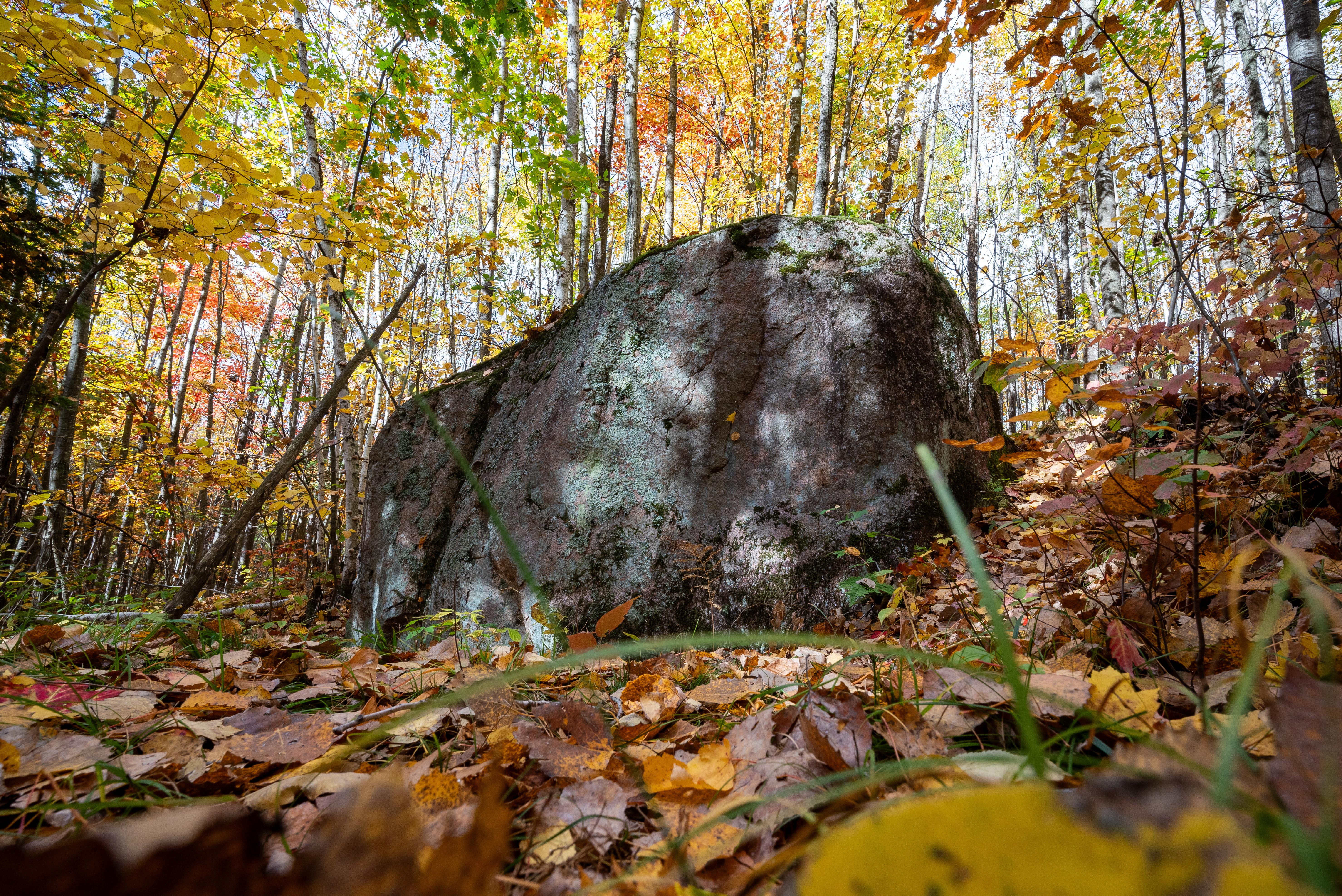
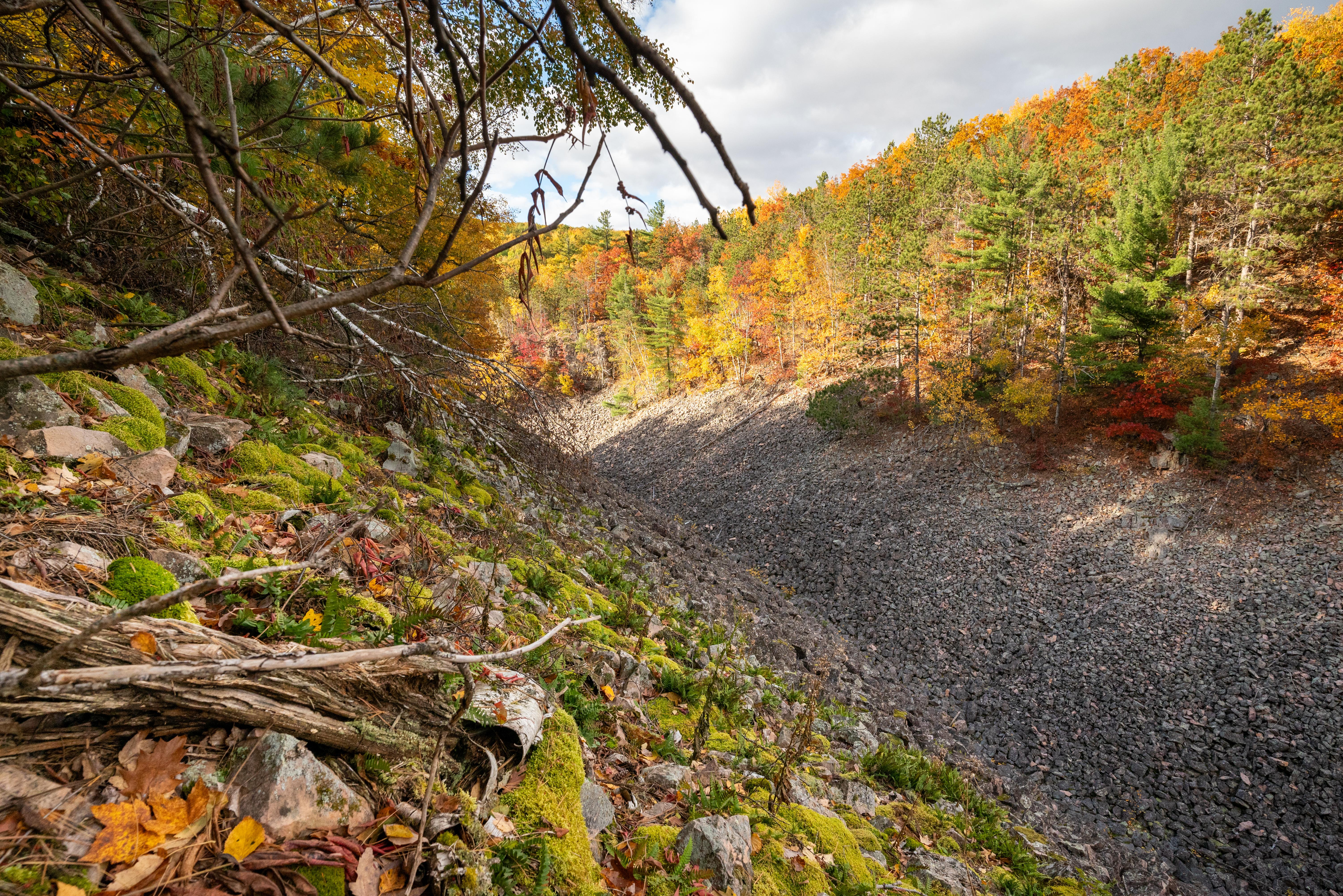
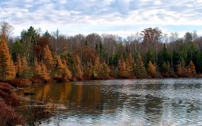
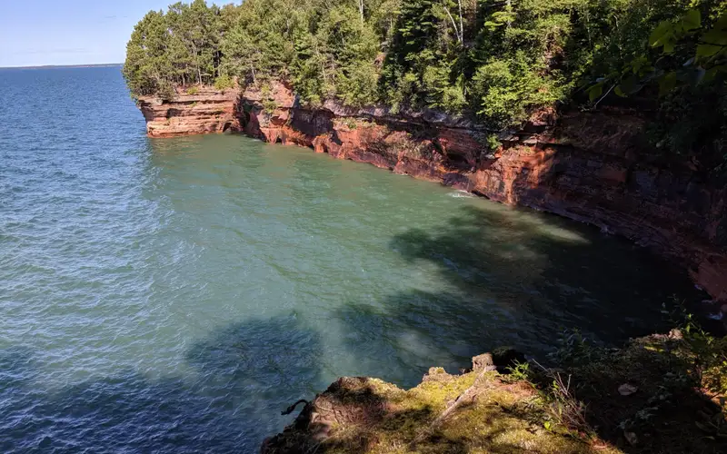
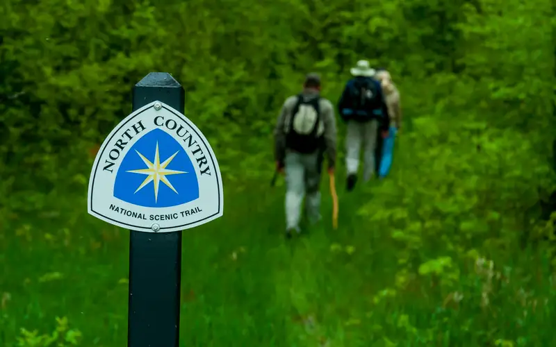
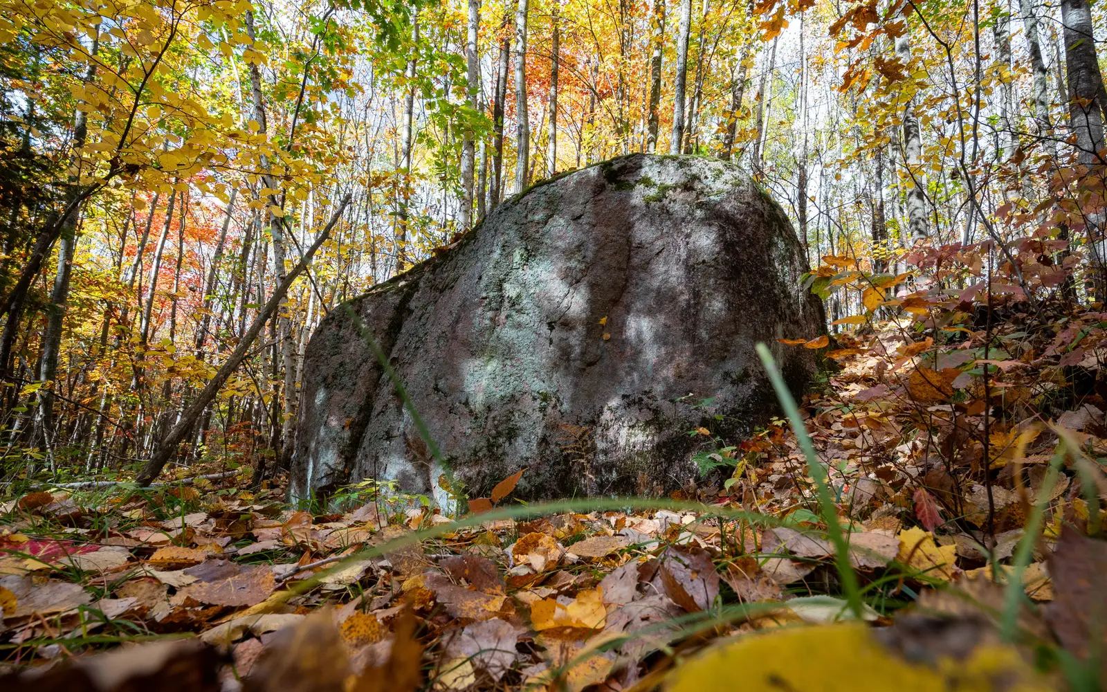
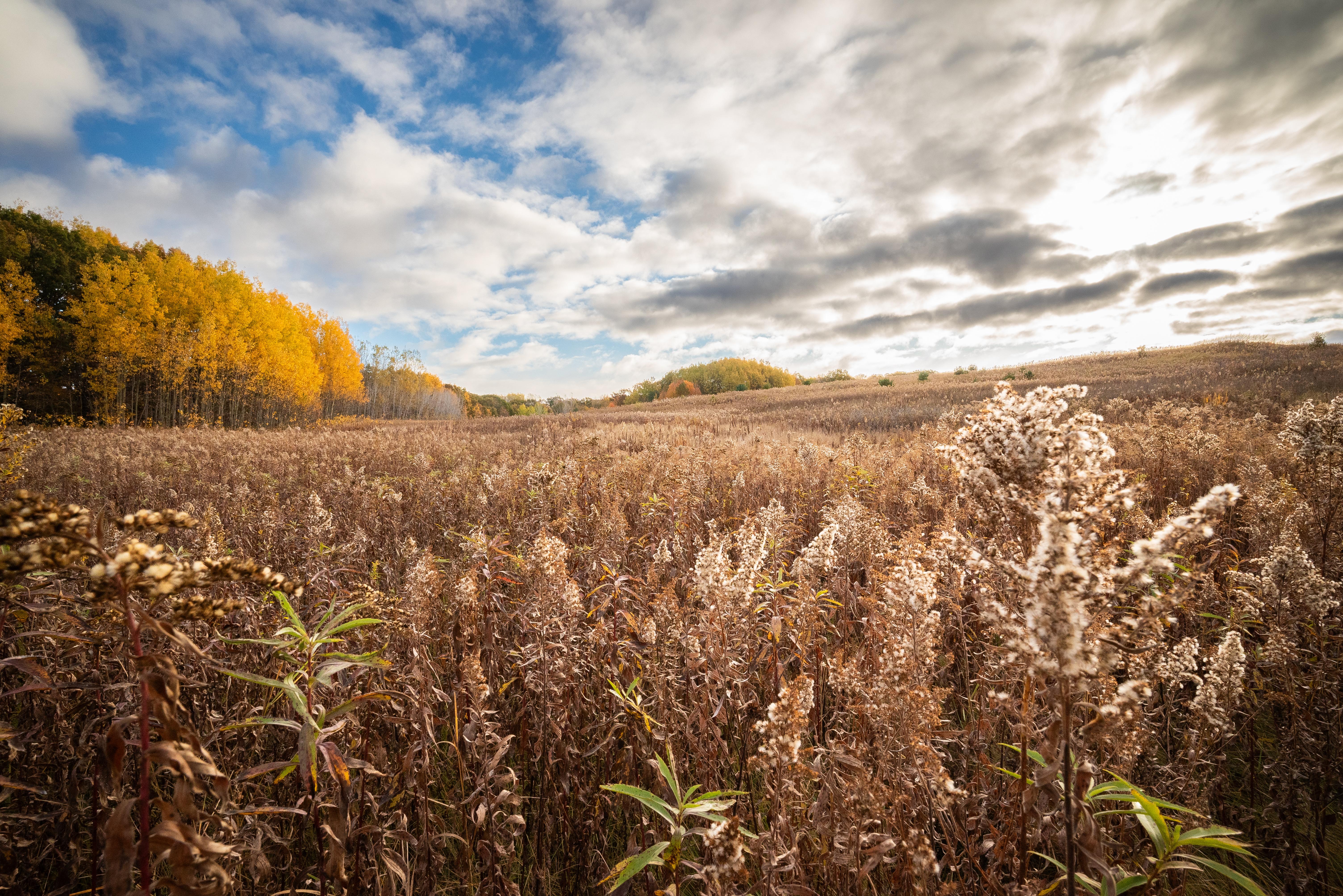
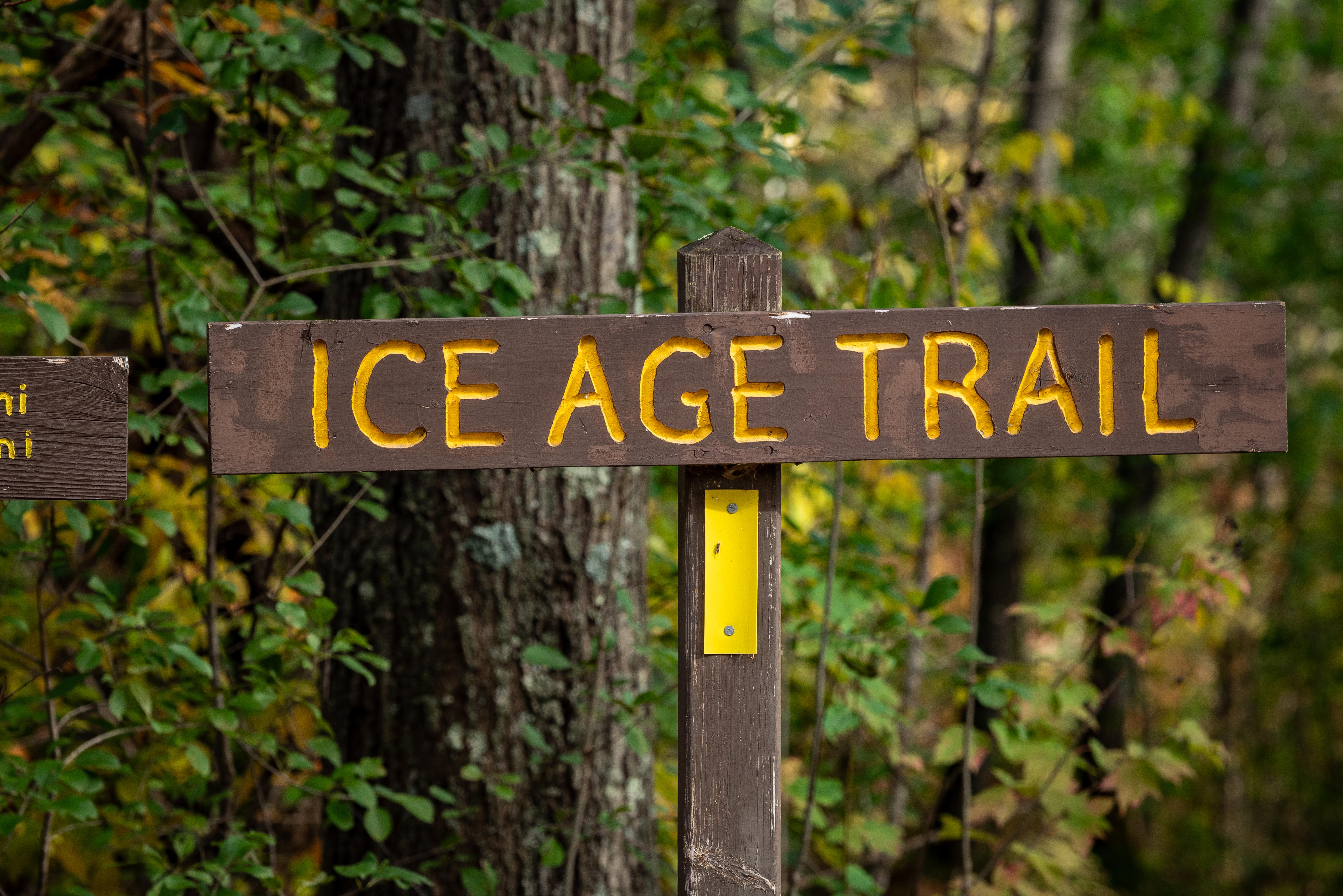
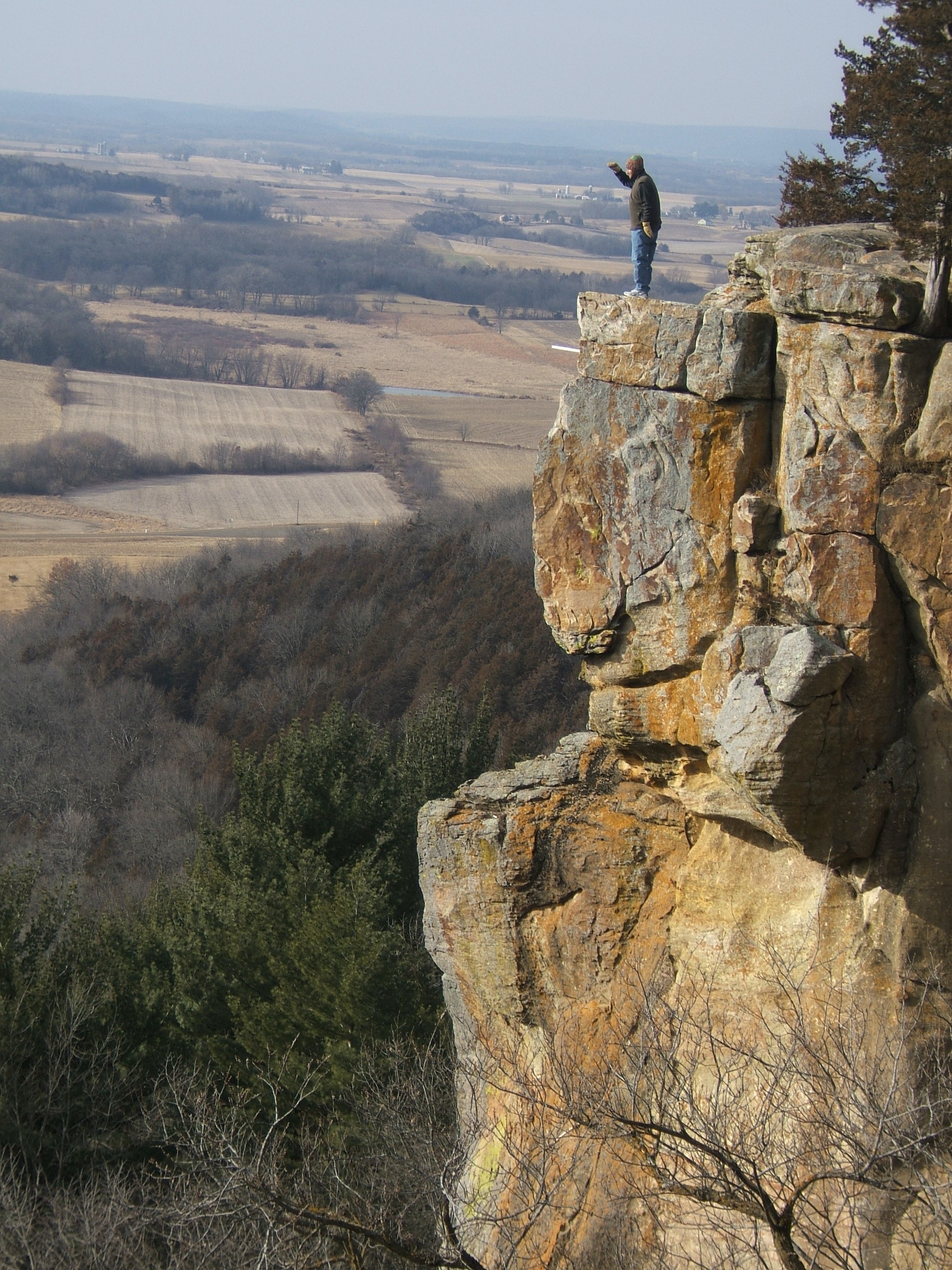
Photograph of a large glacial erratic boulder in autumn with trees covered in colorful foliage and fPhotograph of an autumn prairie scene with rolling hills edged by trees under a partly cloudy sky.Photograph of “Ice Age Trail” sign surrounded by a forest with autumn foliage.expansive view as seen from atop Gibraltar Rock
National Scenic TrailWI

Ice Age National Scenic Trail

NPS / NPS Photo / Billy Flynn
77/ 100WIDE RANGE
parkverdict Experience ScoreIndependent, not sponsored

77 of 100. Our independent breadth-and-access index. How we score

The bottom line

Ice Age National Scenic Trail: our verdict

The Ice Age National Scenic Trail is one of America's eleven National Scenic Trails, a nearly 1,200-mile footpath that follows the terminal moraine left by the last great glaciers as they retreated across Wisconsin.

You won't pull into a visitor center and fan out from there. The trail crosses the whole state, passing through kettles, moraines, drumlins, and glacially carved lakes, and the experience changes quite a bit depending on which segment you choose. Some sections push into genuine backcountry; others wind through small towns and county forests. For a dedicated hiker, it's a world-class long-distance challenge. For someone with an afternoon free, a well-chosen segment offers real geological drama and quiet Wisconsin woodland. It costs nothing, stays open year-round, and rewards anyone who spends a few minutes looking into it before heading out.

Why visit

Pick a segment, lace up, and walk through landforms you will not find anywhere else in the American Midwest. The glacial topography is the real draw here - rolling terrain carved by ancient ice sheets, with wetlands and lakes pooling in every low spot. When winter arrives, the trail holds up well for cross-country skiing and snowshoeing. Come warmer weather, wildlife watchers, birders, and anglers show up in steady numbers, pulled in by the water features scattered along the route. Backcountry camping is available on portions of the trail, which makes multi-day section hikes a genuine option rather than just a theoretical one. Volunteer vacation programs exist too, for travelers who want to put some time into trail maintenance while they are out there. A weekend section hike with one night of camping in between is honestly one of the better ways to get a real feel for what this trail offers.

Who it suits

Long-distance hikers, section hikers, and anyone drawn to glacial geology will find this trail exceptional. Families with kids can access shorter, easier segments for a solid introduction to Wisconsin's landscape. Winter recreationists get real value from snowshoeing and skiing options. Skip it if you want a single iconic destination with infrastructure. This trail rewards self-directed, map-reading travelers.

Timing your visit

May and June carpet the trail with wildflowers, and October is when fall color hits its peak. Late spring through early fall gives you the widest access and the most reliable hiking conditions - summers are warm but rarely oppressive across most of Wisconsin. Winter turns the trail into a cross-country skiing and snowshoeing corridor that most visitors simply ignore. A few segments do close seasonally, so check conditions before heading out in winter or early spring.

What stands out

  • Nearly 1,200 miles of trail tracing Wisconsin's glacial moraine, one of the longest marked footpaths in the country
  • Year-round access supporting hiking, cross-country skiing, and snowshoeing depending on season
  • Backcountry camping along select segments for multi-day section hikes
  • Wildlife watching and birdwatching through diverse Wisconsin habitats including wetlands, forests, and prairies
  • Fishing access near the many glacially formed lakes and water features along the route
  • Volunteer vacation opportunities to actively participate in trail building and maintenance

Good to know

Using the trail is free. Since it crosses nearly the entire state, choosing your segment ahead of time matters more than most hikers expect. The Ice Age Trail Alliance maintains detailed segment maps and condition reports, which are far more useful than a general NPS overview. Some segments cross private land or county property, so stick to the marked trail and check for temporary closures before you head out.

Insider tipTrail quality varies quite a bit because volunteers are the ones who built it and keep it going. Before you lock in a multi-day route, check the Ice Age Trail Alliance's online segment pages for recent condition reports. A segment that looks perfectly fine on a map can turn out to have overgrown brush or flooded sections that make the actual hike a completely different experience.

How we scored it

Why Ice Age National Scenic Trail scores 77

We keep the math boring on purpose. The same handful of public-data inputs, capped so none of them dominates, decide every score. What they measure is breadth and access, not beauty and not crowd levels. For Ice Age National Scenic Trail, they shook out like this:

  • Activity breadth11 documented activities
  • Topic breadth11 topics
  • Official imagery6 public-domain images
  • Camping on sitedocumented
  • Entry costfree

No number is hand-adjusted and no unit pays for placement. The full weights, the floor at 18 and a worked example are on how we score.

The honest limits

Where the score goes quiet

One limit to keep in mind. Everything here comes from public records on what a unit documents and how reachable it is, so the score cannot judge beauty, crowds, trail conditions, weather, or how good any single program is. That is exactly why a small, specific place can score below a sprawling park and still be your better trip. Take the number as a like-for-like look at what is on paper, and lean on the verdict for the human read.

What you can do

Activities

CampingBackcountry CampingFishingHands-OnVolunteer VacationHikingSkiingCross-Country SkiingSnowshoeingWildlife WatchingBirdwatching
Background

The short version

Wisconsin's Ice Age National Scenic Trail runs 1,200 miles through some of the state's most striking glacial and geologic terrain, crossing the ancestral lands of 15 Tribes. Building and maintaining it is a shared responsibility, split among dedicated volunteers, the Ice Age Trail Alliance, the Wisconsin Department of Natural Resources, local partners, and the National Park Service.

On documented breadth and access, Ice Age National Scenic Trail ranks 6th of 7 park and public-land units we score in Wisconsin.

What the seasons are like

Wisconsin delivers all four seasons, and none of them hold back. Summers run warm, winters bring genuine snow, and conditions shift considerably depending on when you go and which trail you're on. Pack and plan for the season you're actually heading into.

Common questions

Ice Age National Scenic Trail: quick answers

Is Ice Age National Scenic Trail worth visiting?

The Ice Age National Scenic Trail is one of America's eleven National Scenic Trails, a nearly 1,200-mile footpath that follows the terminal moraine left by the last great glaciers as they retreated across Wisconsin.

Is Ice Age National Scenic Trail free to visit?

It is free to get in.

What is Ice Age National Scenic Trail best for?

It leans hardest toward hiking, camping, good with kids, water activities, going by the 11 activities it actually documents.

When is the best time to visit Ice Age National Scenic Trail?

May and June carpet the trail with wildflowers, and October is when fall color hits its peak.

How is the Experience Score for Ice Age National Scenic Trail calculated?

The 77 comes straight from public data on how much the place documents and how easy it is to reach, things like activities, topics, photos, camping and whether entry is free. It says nothing about scenery or how busy it gets.