Is El Camino Real de Tierra Adentro National Historic Trail worth your trip?
El Camino Real de Tierra Adentro presents a unique proposition among national park units.
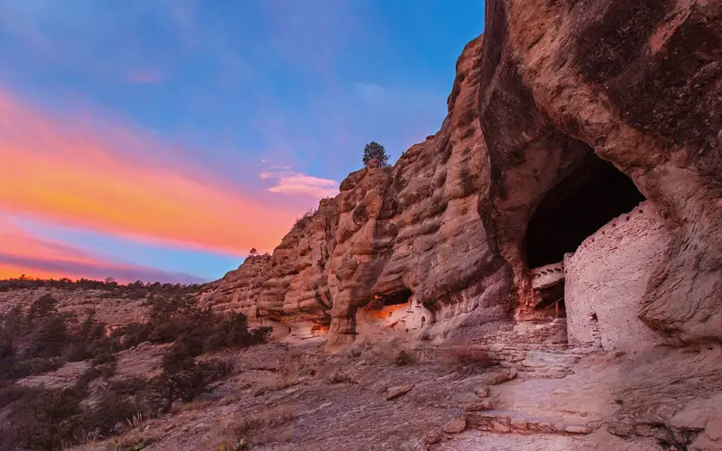
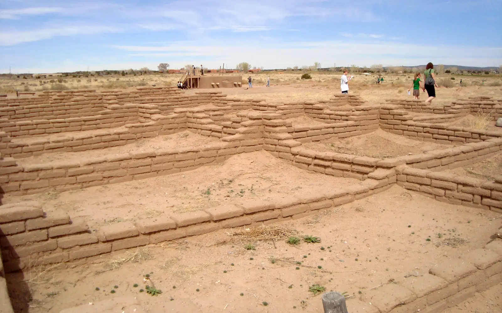
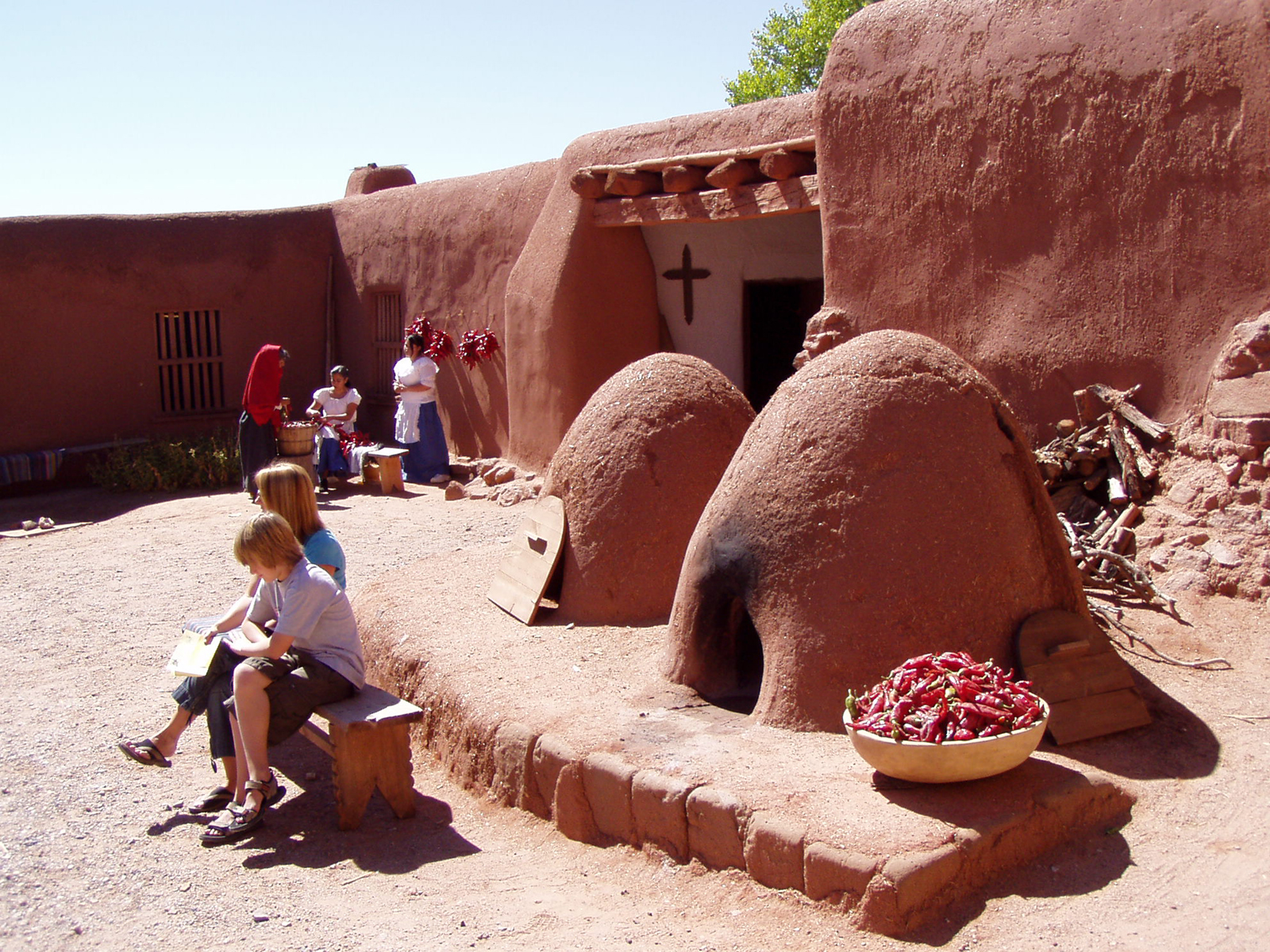
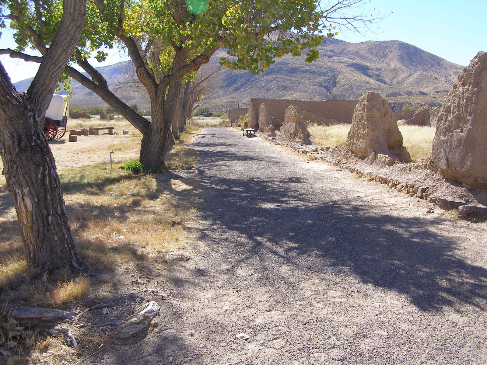
This 1,600-mile historic corridor, extending from El Paso, Texas, into New Mexico, traces North America's oldest European trade and colonization route. It offers no singular entrance or unified trailhead. Instead, a dispersed network of sites, interpretive museums, scenic drives, and hiking segments spans two states, managed by multiple landowners. The quality of experience rests entirely on prior research. For travelers keen on crafting their own historical itinerary, this trail connects profound narratives of Spanish colonial expansion, Indigenous resistance, and centuries of cultural collision. Casual sightseers should look elsewhere. The scale is the draw here.
Why go
El Camino Real is a destination for those invested in the historical currents of the American Southwest. This corridor traverses communities where the colonial past remains a present force, not merely a preserved artifact. Museum exhibits comprehensively contextualize 300 years of Spanish, Indigenous, and Mexican history. Beyond the historical narrative, scenic drives along the Rio Grande corridor provide striking high-desert landscapes. Active visitors can hike segments of the actual historic route on public lands. The Junior Ranger Program offers family engagement. Local theater and arts programming at specific sites along the trail illuminate cultural exchange themes beyond static displays. This is a journey for deliberate exploration, not passive observation.
Best for
This destination rewards specific interests. History enthusiasts and road-trippers crafting a Southwest itinerary will find value, particularly families seeking historical depth alongside a scenic drive through New Mexico and Texas. Those seeking a defined, signposted trail experience will be disappointed. Hikers anticipating a single, cohesive backcountry route should look elsewhere; access is fragmented.
Best season
The extensive 1,600-mile span across two states precludes a single optimal season. Southern segments near El Paso face intense summer heat but offer mild winters. Conversely, northern New Mexico sections are best enjoyed in spring and fall, with winter bringing potential snow. Visitors must consult weather.gov for specific regional forecasts. Planning by individual segment is essential, as uniform conditions are not present across the entire trail.
The high points
- Tracing one of North America's oldest colonial trade routes, predating the Santa Fe Trail by centuries
- Interpretive museum exhibits that honestly address conflict, cooperation, and cultural exchange across three centuries
- Scenic driving through the Rio Grande corridor with the historical route as the throughline
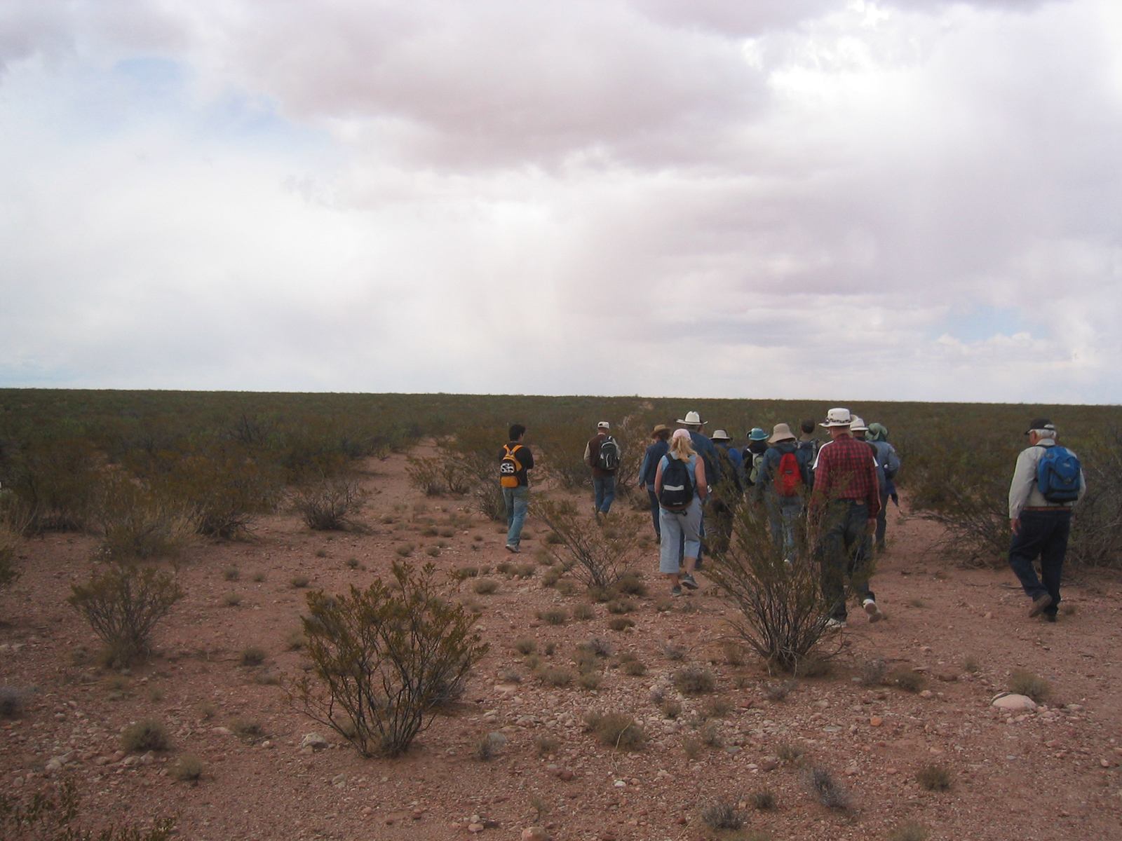
- Hiking segments on public lands where the actual historic route is still discernible on the ground
- Junior Ranger Program that gives kids a structured way to engage with the trail's complex history
- Arts, theater, and cultural programming at communities along the route that reflect its living legacy
Know before you go
This trail presents a significant commitment. Free of charge, it also lacks any central visitor services or unified access. Its path traverses private land, public land, urban zones, and wilderness, all managed by disparate agencies. Thorough pre-trip research of specific segments is essential via the NPS trail website; some portions have no public access. A personal vehicle is virtually indispensable for engagement with this site.
One more thingEl Camino Real de Tierra Adentro presents a unique challenge for visitors. Its fragmented ownership makes current conditions and accessibility highly variable. Before any trip, contact the NPS El Camino Real de Tierra Adentro office. A single call could save considerable driving time, preventing arrival at closed sites or private land