parkverdict
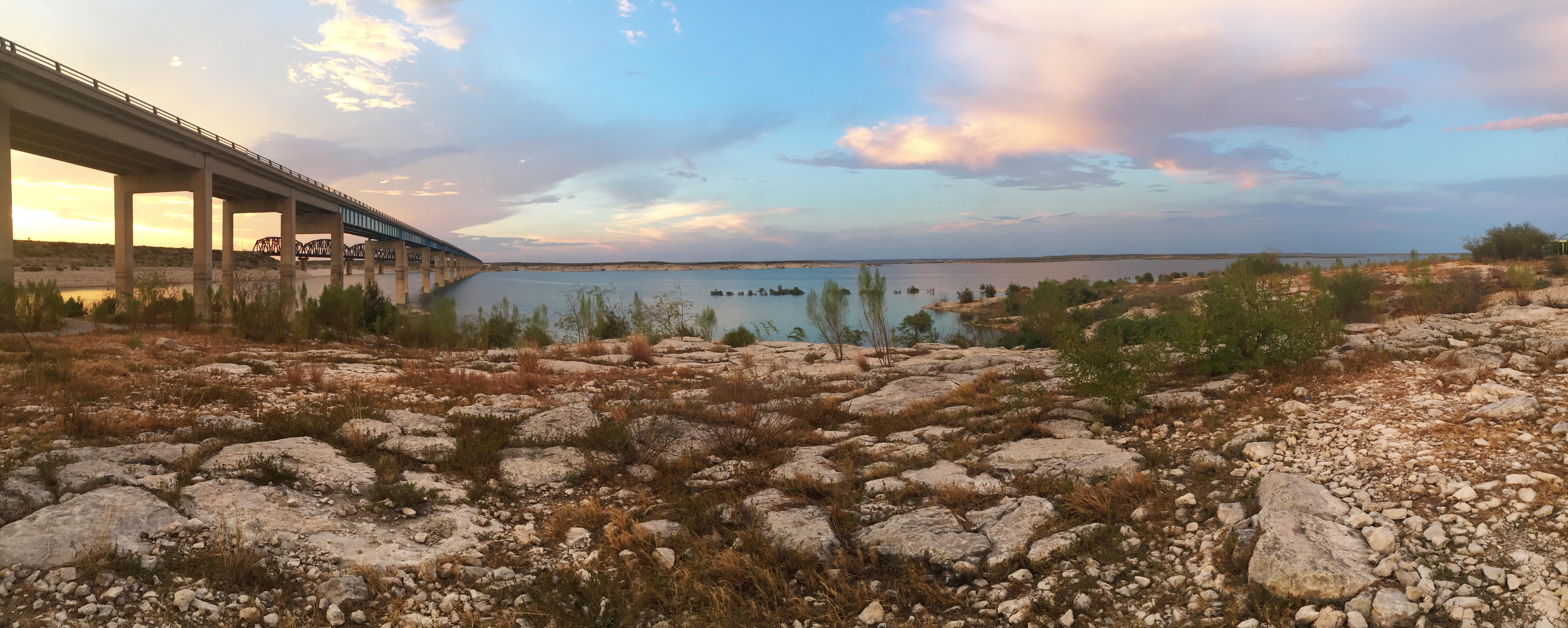
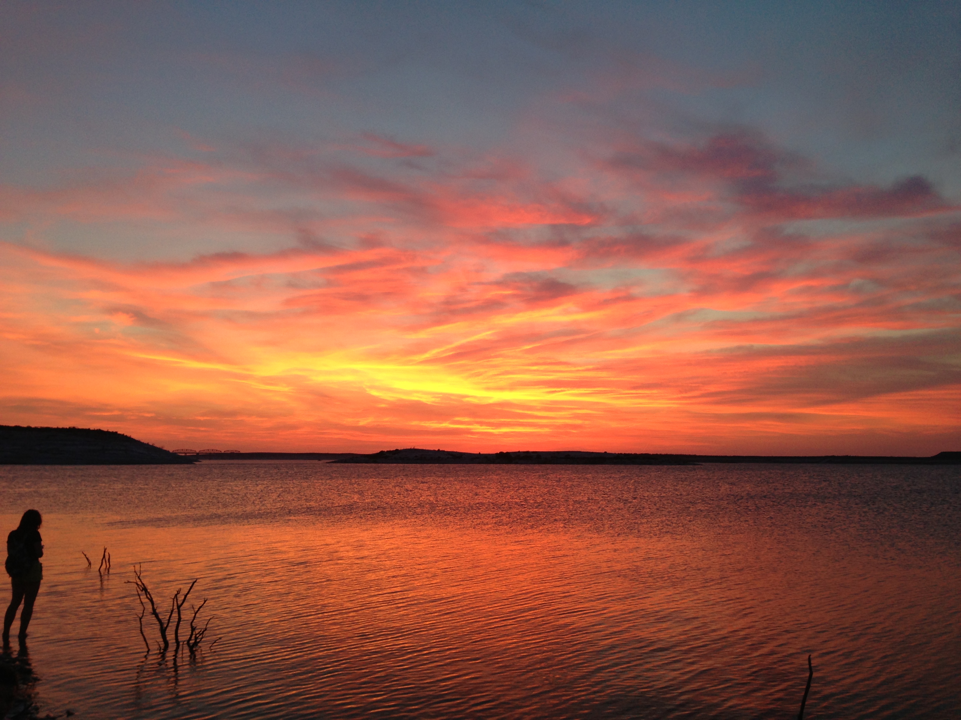
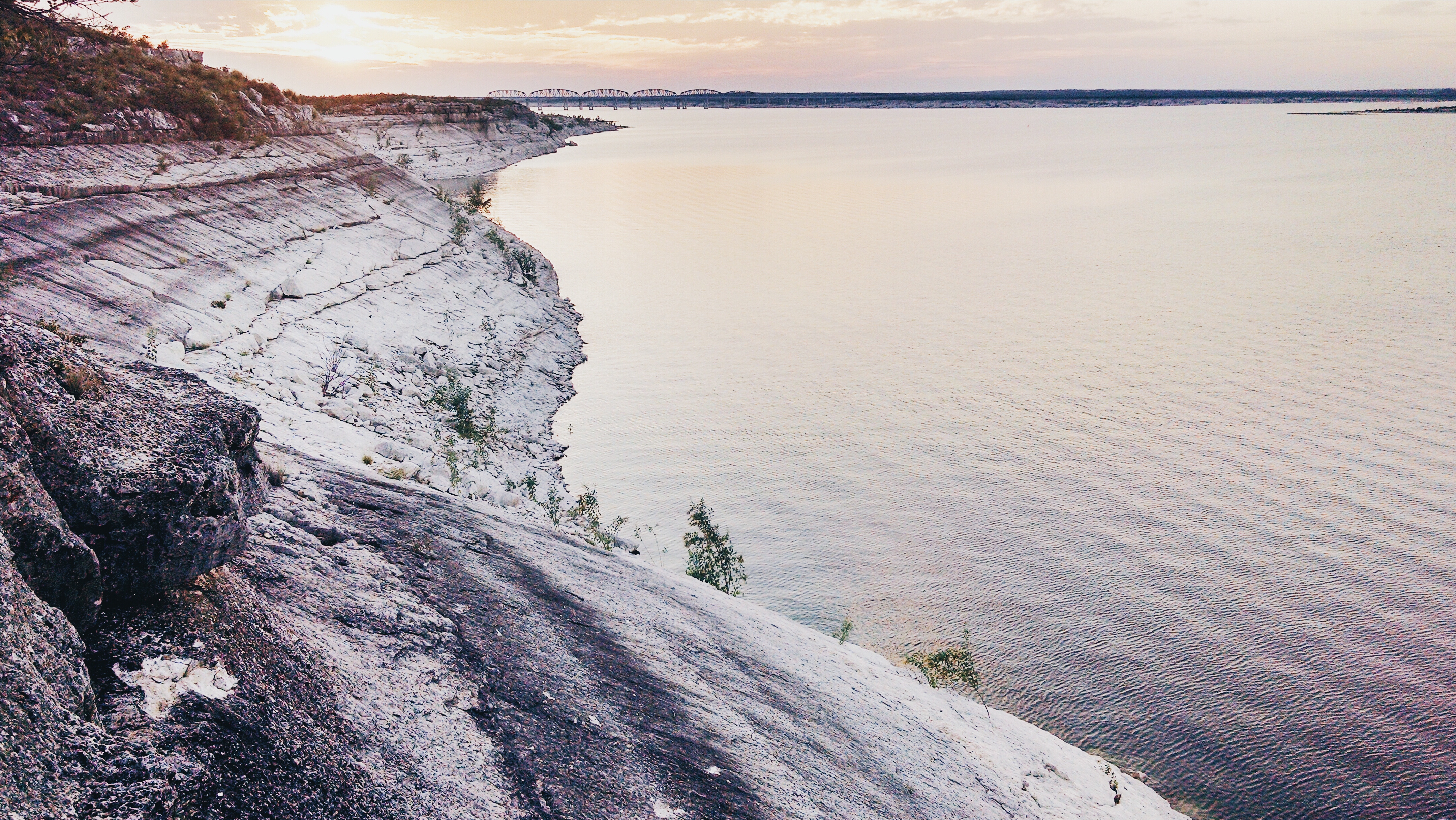
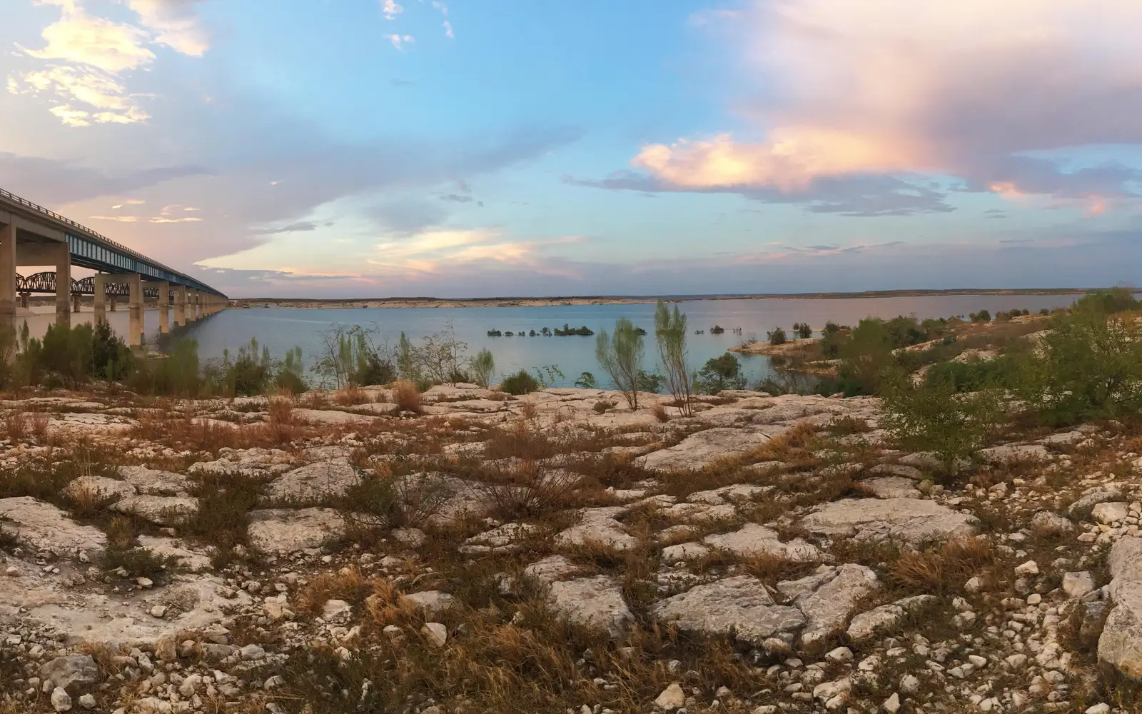
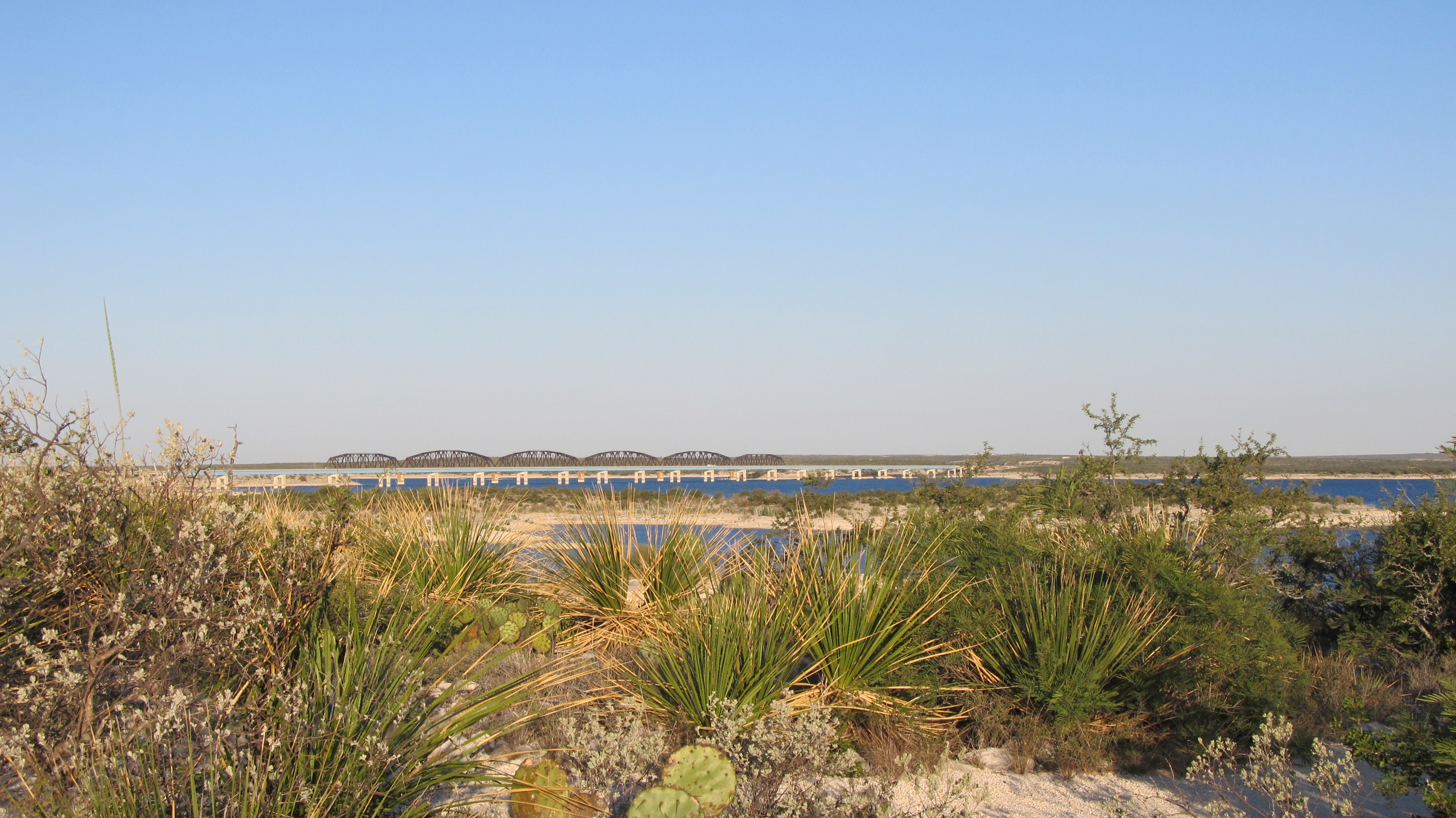
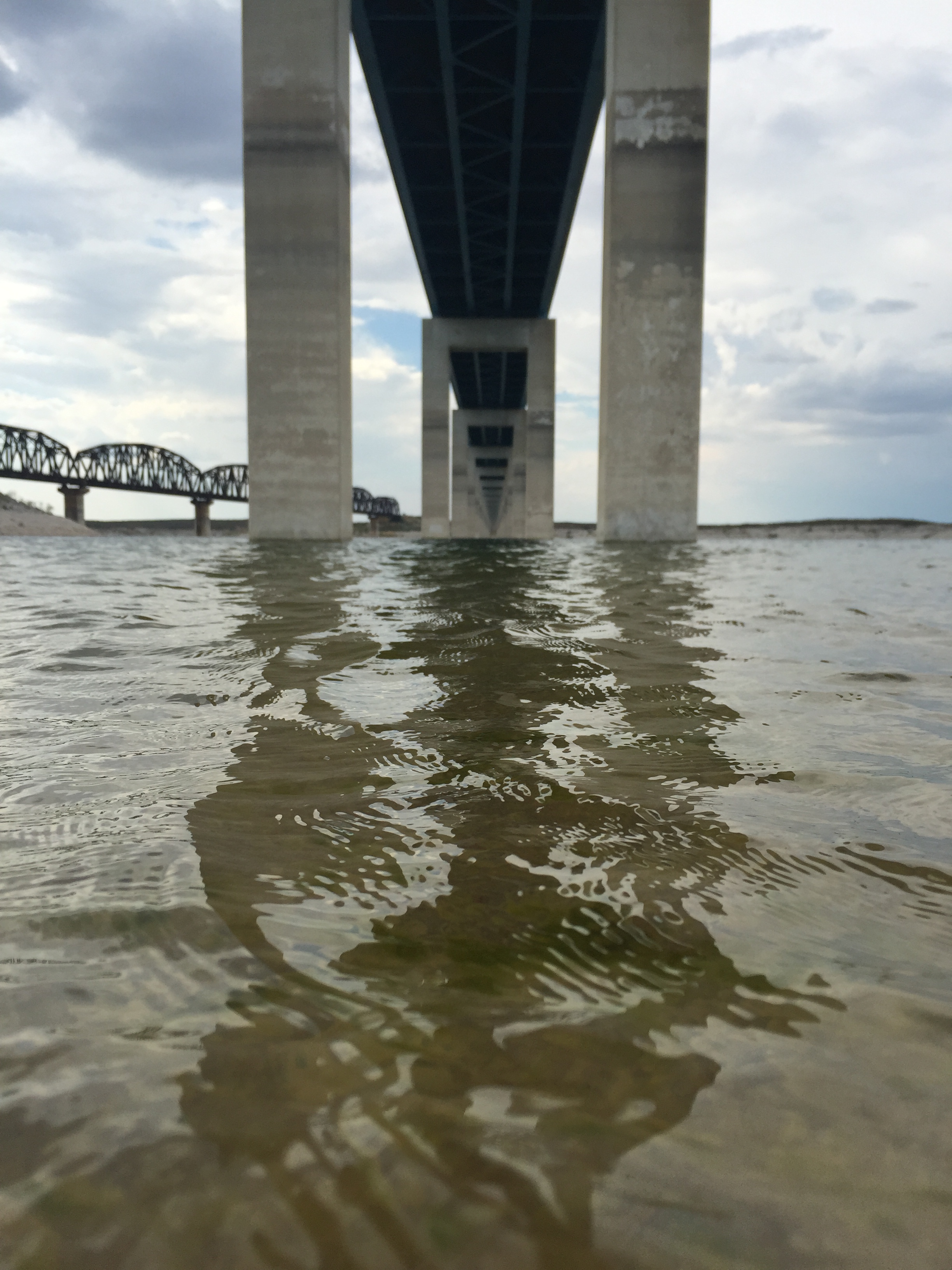
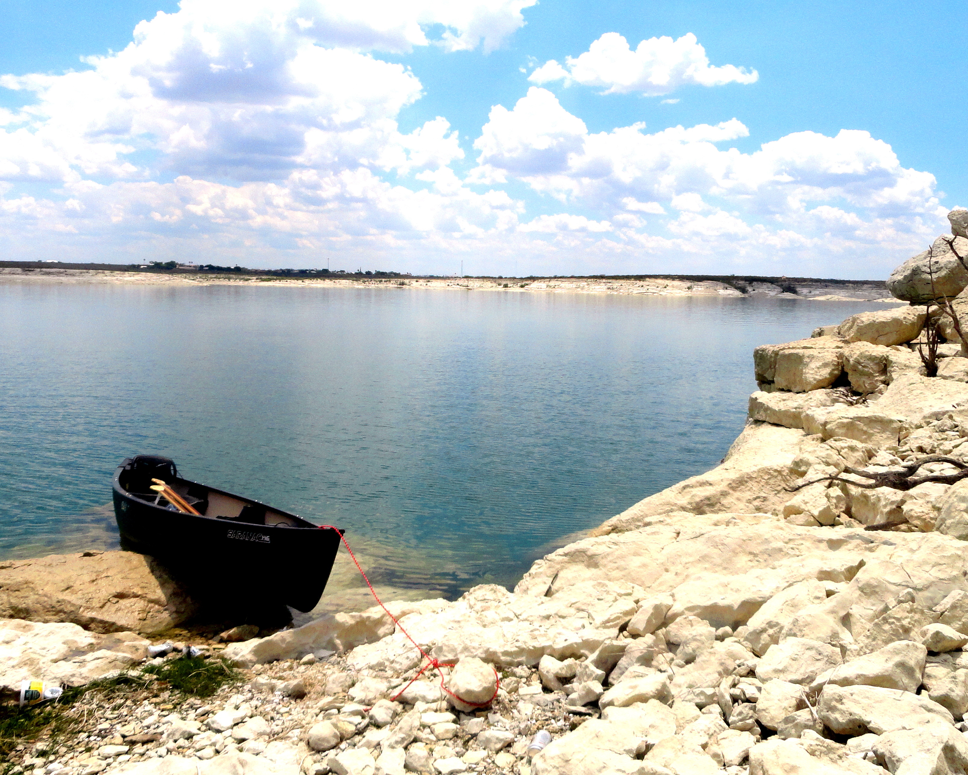
Sunset over Amistad Reservoir with Highway 90 bridge to left of photo going over the reservoir and iAmistad National Recreation AreaUnder the HWY 90 BridgeA view of the peaceful shoreline along Amistad National Recreation Area
National Recreation AreaTX

Amistad National Recreation Area

NPS / NPS / E Paola
100/ 100DOES IT ALL
parkverdict Experience ScoreIndependent, not sponsored

100 of 100. Our independent breadth-and-access index. How we score

Worth it?

Is Amistad National Recreation Area worth it?

Amistad National Recreation Area sits on the Texas-Mexico border, where the Rio Grande, the Devils River, and the Pecos River all feed into a large freshwater reservoir.

The name means friendship, and the park earns it. Few units in the National Park System pack this much into a free destination: water sports, fishing, camping, paddling, and wildlife watching, all running at serious scale in one place. This is not a scenic overlook you slow down for and photograph through the car window. People come here to get on the water. The reservoir cuts through arid Southwest Texas scrubland, which gives it an almost surreal quality, open blue water ringed by desert. Show up without a boat or a fishing rod and you may leave underwhelmed. Show up ready to paddle or cast a line and you will find one of the most rewarding and underrated parks in the entire system.

The case for it

Most people come here for the water. Boaters, jet skiers, and water skiers have a large open reservoir to spread across, while kayakers and canoeists can pick their way into quieter coves and backcountry shorelines. Anglers work a well-documented fishery from both shore and boat. Swimmers get freshwater access that feels almost wrong given the surrounding desert. Divers can drop down and explore the submerged terrain below the surface. Back on land, front-country and backcountry camping lets you stretch the trip into a full weekend or longer. Birdwatching along the desert-water edge tends to reward patience, mostly because the sharp ecological contrast between the two pulls in a surprising mix of species. The junior ranger program helps families with younger kids find their footing, and with free entry and multiple campground types including RV hookups, a weekend here costs remarkably little.

Who it is for

Boaters, anglers, paddlers, divers, and families who want active water recreation in a free, uncrowded NPS setting will find few better options. Birders after desert-riparian edge habitat will do well here too. If you want dramatic scenery, developed visitor infrastructure, or a classic hike-to-a-viewpoint experience, this is the wrong place. The draw is getting out on the water, not standing on the shore admiring the view.

Best time to visit

Spring and fall bring the most comfortable weather, with mild temperatures that suit both water activities and camping. Summer heat can turn brutal, which works for water sports but makes hiking and camping miserable unless you start before the sun climbs. Winters stay mild and tend to reward fishing and birdwatching. Check conditions before you go, since low water levels can close certain areas temporarily.

Worth seeing

  • One of the largest freshwater recreation areas in the NPS system, free to enter
  • Full spectrum of water sports including boating, jet skiing, water skiing, paddling, swimming, and SCUBA diving
  • Backcountry canoe and kayak camping along remote reservoir shorelines
  • Freshwater fishing on a reservoir fed by the Rio Grande, Devils River, and Pecos River
  • Birdwatching at a rare desert-water interface in Southwest Texas
  • Multiple camping formats including RV, group, car camping, and backcountry options

Before you visit

Admission is free. Some boat ramps and recreation areas close temporarily when water levels drop, so check current conditions on the NPS website before you make the drive. The nearest gas stations, stores, and services are in Del Rio, Texas, so bring fuel, supplies, and water before you head out. Cell coverage is spotty in parts of the recreation area.

Our tipIf you want dramatic scenery and fewer boats to dodge, head toward the upper arms near the Devils River or Pecos River inflows. The main basin by the dam gets crowded with motorized traffic on weekends.

How we scored it

Why Amistad National Recreation Area scores 100

We keep the math boring on purpose. The same handful of public-data inputs, capped so none of them dominates, decide every score. What they measure is breadth and access, not beauty and not crowd levels. For Amistad National Recreation Area, they shook out like this:

  • Activity breadth29 documented activities
  • Topic breadth27 topics
  • Official imagery6 public-domain images
  • Camping on sitedocumented
  • Entry costfree

No number is hand-adjusted and no unit pays for placement. The full weights, the floor at 18 and a worked example are on how we score.

The honest limits

What the score cannot tell you

A quick honest note. The score tracks how much a place has going on and how easy it is to reach, both pulled from public records. What it cannot see is the stuff that often makes or breaks a day: whether the views stop you cold, how packed it gets in season, what the trails are like after rain, or whether you catch a great ranger talk. A small, single-focus site can land below a sprawling park here and still be the better call for your trip. Use the number to compare what places offer on paper, and the verdict up top to tell if it is your kind of place.

Background

The short version

Amistad National Recreation Area runs along the US side of the International Amistad Reservoir on the Texas-Mexico border. The name comes from the Spanish word for "friendship." Visitors arrive to boat, swim, camp, and hike around the reservoir and its surrounding desert, where rock art and other cultural sites go back nearly 5,000 years. The mix of arid terrain and open water supports a surprisingly wide range of plants and animals.

On documented breadth and access, Amistad National Recreation Area ranks 1st of 20 park and public-land units we score in Texas.

What the seasons are like

Southwest Texas weather has a way of changing without much warning, so look up the local forecast before you leave. Amistad National Recreation Area gets genuinely hot in summer and stays mild through winter. For current conditions, check https://www.nps.gov/amis/planyourvisit/conditions.htm.

What you can do

Activities

BoatingMotorized BoatingSailingJet SkiingCampingBackcountry CampingCanoe or Kayak CampingCar or Front Country CampingGroup CampingRV CampingFishingFreshwater FishingHikingFront-Country HikingHunting and GatheringHuntingPaddlingCanoeing
Common questions

Amistad National Recreation Area: quick answers

Is Amistad National Recreation Area worth visiting?

Amistad National Recreation Area sits on the Texas-Mexico border, where the Rio Grande, the Devils River, and the Pecos River all feed into a large freshwater reservoir.

Is Amistad National Recreation Area free to visit?

It is free to get in.

What is Amistad National Recreation Area best for?

It leans hardest toward hiking, camping, good with kids, water activities, going by the 29 activities it actually documents.

When is the best time to visit Amistad National Recreation Area?

Spring and fall bring the most comfortable weather, with mild temperatures that suit both water activities and camping.

How is the Experience Score for Amistad National Recreation Area calculated?

The 100 comes straight from public data on how much the place documents and how easy it is to reach, things like activities, topics, photos, camping and whether entry is free. It says nothing about scenery or how busy it gets.