Continental Divide National Scenic Trail: our verdict
The Continental Divide National Scenic Trail presents a distinct challenge to the conventional park visitor.
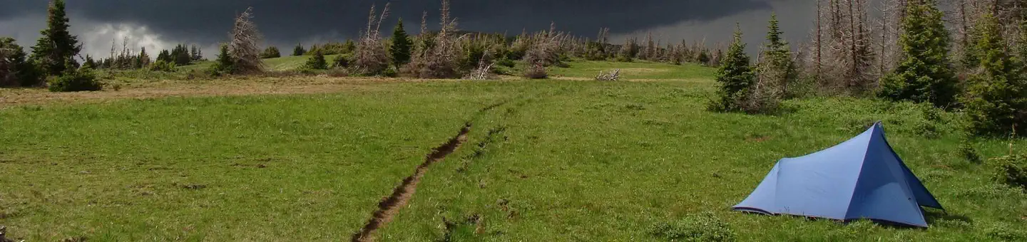
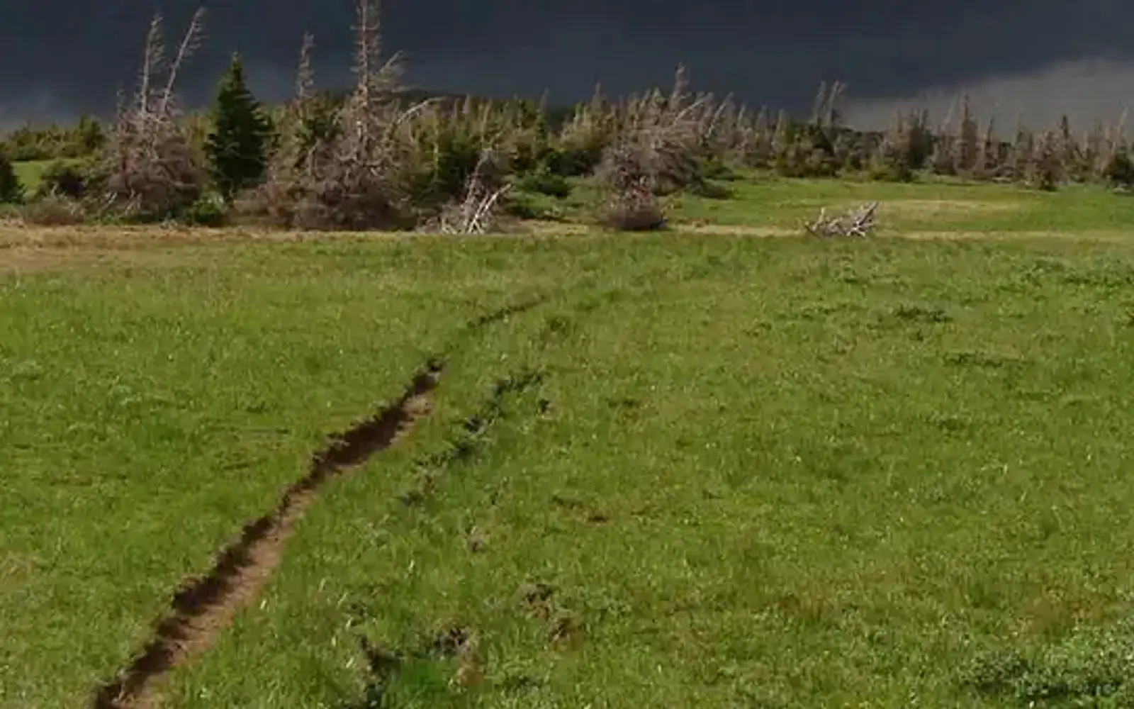
This 3,100-mile corridor, extending from Mexico to Canada, offers a New Mexico segment spanning hundreds of miles across high desert, mountain, and mesa environments. Its BLM-administered sections are genuinely primitive. Formal treads are often absent; navigation relies on cairns or line-of-sight. The terrain is wide open, not manicured. This rawness defines its appeal. The trail is for self-sufficient travelers seeking expansive, unmediated western landscapes. An experience score of 75 indicates broad activity potential. This breadth, however, does not imply ease of access. While auto touring and day hiking entry points exist, the most profound experiences are reserved for those who plan meticulously and traverse remote country with deliberate speed.
Why visit
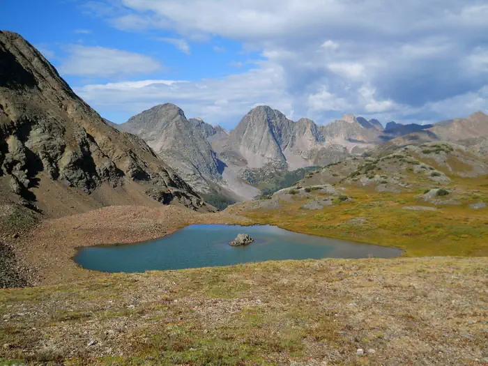
The New Mexico CDT corridor offers a rigorous, uncurated outdoor experience. Auto touring on scenic routes provides access to trailheads. A half-day hike or horseback ride across open rangeland, navigated by cairns, defines the core activity. Expect genuinely dark skies for camping, with significant wildlife presence. Winter sports are available in higher elevations seasonally. Documented fishing indicates the presence of vital water sources and riparian zones. Photography rewards patience; the landscape transitions from Chihuahuan desert scrub to pine-covered ridgelines. The hunting designation underscores its identity as working wild land. This is not a curated visitor experience. Its appeal lies in this raw authenticity, best suited for the self-reliant traveler.
Who it suits
This unit caters to the prepared adventurer. Thru-hikers, section hikers, equestrians, and backcountry campers will find true wilderness here. Hunters are well-suited. Wildlife photographers and birders willing to traverse primitive terrain will be rewarded. Families with young children, casual day-trippers, and those seeking marked trails or extensive amenities should make other plans.
Timing your visit
Spring and fall offer the most reliable conditions. Moderate temperatures prevail, and afternoon thunderstorms, common during the summer monsoon, are less frequent. Summer presents significant heat challenges at lower elevations and lightning risks on exposed ridgelines. Winter allows for snow-based recreation in higher areas, but necessitates thorough preparation. Desert sections should be avoided during peak summer heat.
What stands out
- Primitive hiking and horseback riding across one of America's longest continuous trail corridors
- Navigation by rock cairns and line-of-sight markers - a genuinely backcountry experience
- Camping on open public lands with minimal infrastructure and dark, remote skies
- Seasonal wildlife viewing across desert, riparian, and montane zones
- Winter sports access on higher elevation segments
- Scenic auto touring routes that provide access points into otherwise remote terrain
Good to know
Access is free, but hardly low-cost. Remote entry points often demand a high-clearance vehicle. Resupply options are sparse. Across BLM land in New Mexico, maintained trails are absent. A paper map or downloaded GPS track is therefore essential. Confirm current route conditions with the Continental Divide Trail Coalition for any multi-day expedition.
Insider tipNavigating the New Mexico CDT corridor requires diligent preparation. The legal route shifts, traversing both private ranch roads and open BLM land. Before departure, download the official CDT Coalition GPX track for your specific segment. Do this prior to losing cell service, not at the trailhead. This is not a park for the unprepared.