589 units scored Refreshed on a schedule Independent, no sponsored rankings
Recreation AreaOR
Clackamas Wild and Scenic River
NPS / Greg Shine, BLM
46/ 100FOCUSED
parkverdict Experience ScoreIndependent, not sponsored
46 of 100. Our independent breadth-and-access index. How we score
Our take
Is Clackamas Wild and Scenic River worth your trip?
The Clackamas, a 47-mile river corridor, offers a distinct experience within Mt.
Hood National Forest. Its strength lies in presenting moving water as the primary attraction, often exceeding expectations for its documented experience score. Auto touring along the river provides consistent scenic views. Fishing remains a core activity for many visitors. The presence of accessible facilities broadens its appeal, making it more inclusive than typical wild and scenic designations. This is not a destination defined by iconic landmarks. However, for those seeking a low-pressure Oregon escape, the Clackamas provides a compelling option.
Best for
This destination caters well to anglers, cyclists seeking forested road routes, and families desiring free, accessible riverside recreation. Those pursuing dramatic summit views or multi-day backcountry excursions will find better options elsewhere.
The high points
47 miles of designated wild and scenic river corridor ideal for fishing and riverside hiking
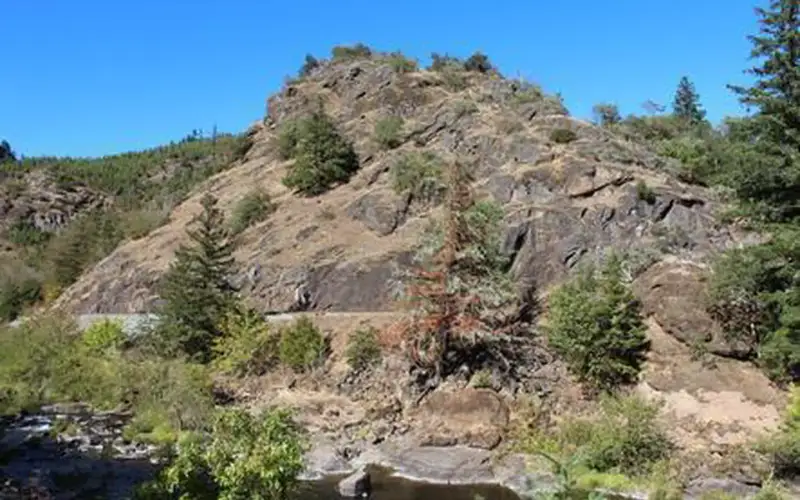
Scenic auto touring through dense Mt. Hood National Forest with rock cliffs and riparian scenery
Biking the forested river road as an alternative to crowded Cascade trail systems
Accessible facilities that make the riverfront genuinely reachable for visitors with mobility needs
One more thingThe segment near Estacada offers the most straightforward access point, providing a practical base for combining a brief hike with fishing. Weekday visits are advisable. This corridor experiences significant traffic on summer weekends.
How we scored it
Why Clackamas Wild and Scenic River scores 46
We keep the math boring on purpose. The same handful of public-data inputs, capped so none of them dominates, decide every score. What they measure is breadth and access, not beauty and not crowd levels. For Clackamas Wild and Scenic River, they shook out like this:
Activity breadth5 documented activities
Topic breadth0 topics
Official imagery3 public-domain images
Camping on sitenone recorded
Entry costfree
No number is hand-adjusted and no unit pays for placement. The full weights, the floor at 18 and a worked example are on how we score.
The honest limits
The honest blind spots
Read the score for what it is. It counts what a place documents and how reachable it is, and stops there. It will not tell you if a sunset floors you, if the crowds thin out by dusk, whether a washout closed your trail, or how a ranger tells the story. Plenty of quiet, focused spots score modestly and still win the weekend. Let the number rank what is on offer; let the verdict speak to the feel.
What you can do
Activities
Auto TouringBikingFishingHikingAccessible Facility Or Activity
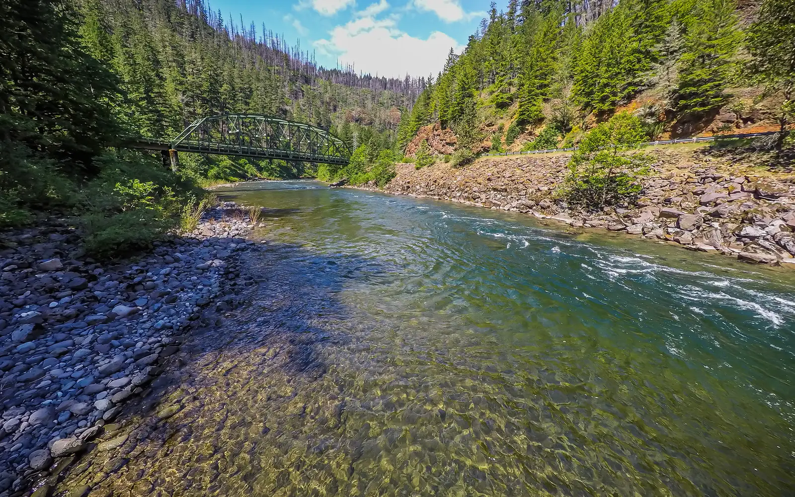
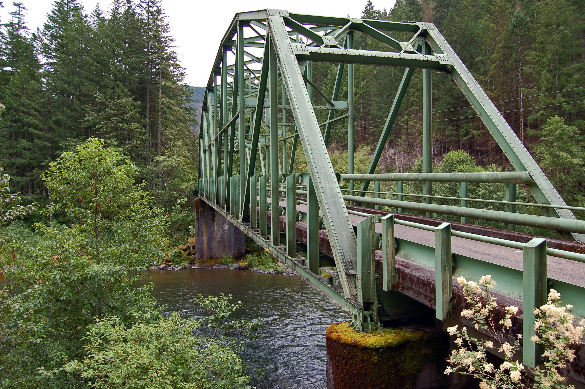
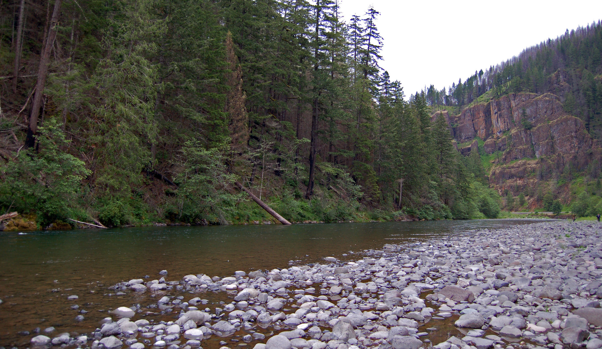
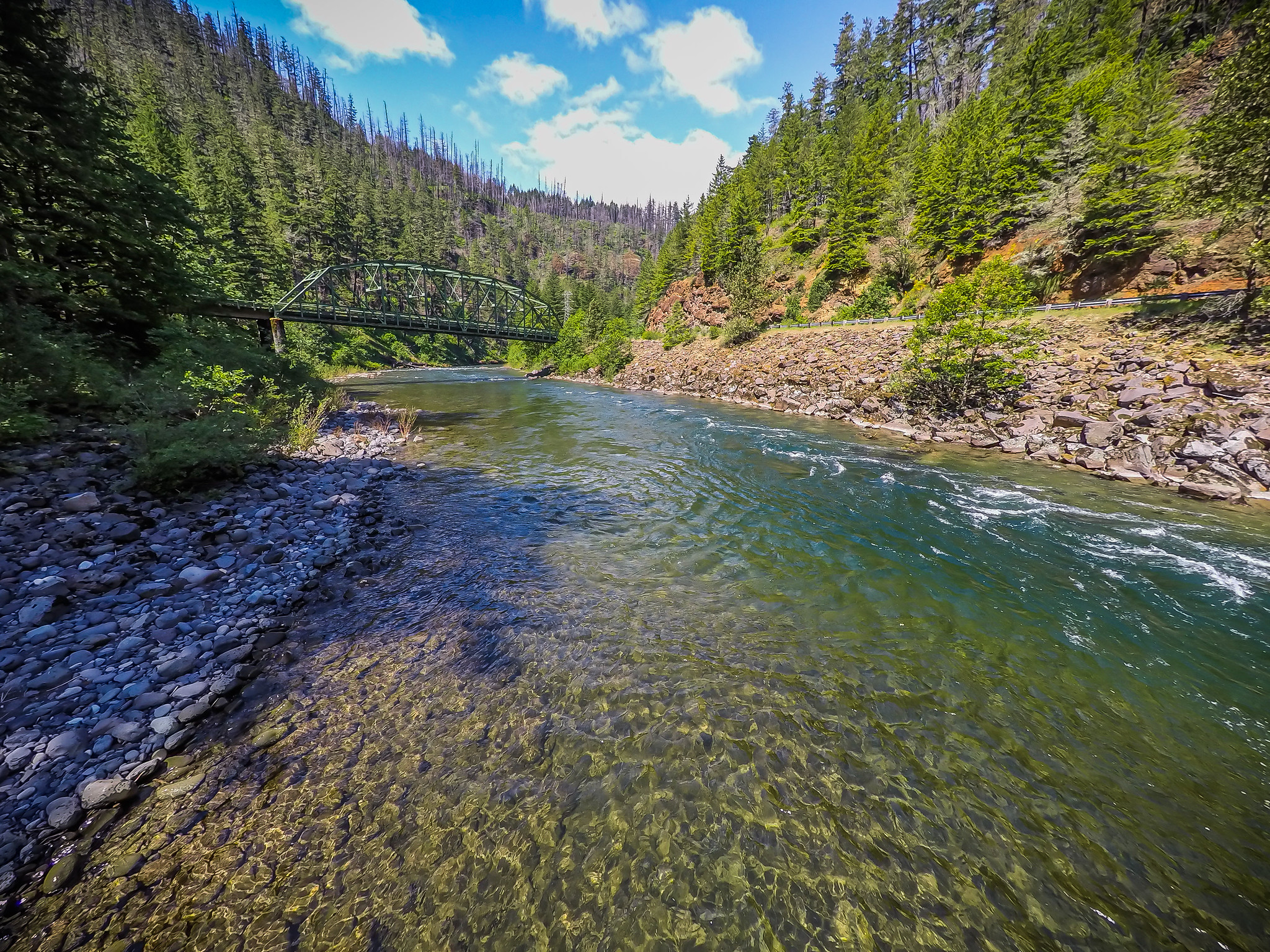
The Clackamas River is located to the west of the Cascade Range and to the south of the Columbia River Gorge in northern Oregon. Flowing northwest from its sources high in the Cascade Mountains, the designated portion of the river, which is 47 miles (75.6 km) in length, runs from Big Spring (headwaters area) to Big Cliff, just south of the town of Estacada. This most picturesque region is entirely within the Mt. Hood National Forest and encompasses forested lands, wetlands, riparian areas and rock cliffs. Of the 47 miles of the river that carry the wild and scenic designation, the Bureau of Land Management manages a small-but-important portion: six-tenths of a mile of river adjacent to Oregon State Hwy. 224, from a point west of the U.S. Forest Service’s Lazy Bend Campground to a half mile above the river’s bend westward at Big Cliff. The area is most recognizable by the green Pratt truss bridge at Memaloose Road, now closed to vehicular traffic, which sits atop the river and connects walkers to the day-use area on the river’s south side. Know Before You Go There are no facilities on the Bureau of Land Management portion of the river; however the Forest Service’s seasonal Lazy Bend campground and Big Eddy Picnic Area offer nearby amenities.
On documented breadth and access, Clackamas Wild and Scenic River ranks 42nd of 45 park and public-land units we score in Oregon.
Is Clackamas Wild and Scenic River worth visiting?
The Clackamas, a 47-mile river corridor, offers a distinct experience within Mt.
Is Clackamas Wild and Scenic River free to visit?
It is free to get in.
What is Clackamas Wild and Scenic River best for?
It leans hardest toward hiking, water activities, biking, scenic drives, going by the 5 activities it actually documents.
How is the Experience Score for Clackamas Wild and Scenic River calculated?
The 46 comes straight from public data on how much the place documents and how easy it is to reach, things like activities, topics, photos, camping and whether entry is free. It says nothing about scenery or how busy it gets.
Reviewed by Irene A. Taranina, founding editor/Checked against official public data/Published /Updated /Independent, no sponsored rankings
parkverdict is an independent digital publication. Not affiliated with the National Park Service.