parkverdict
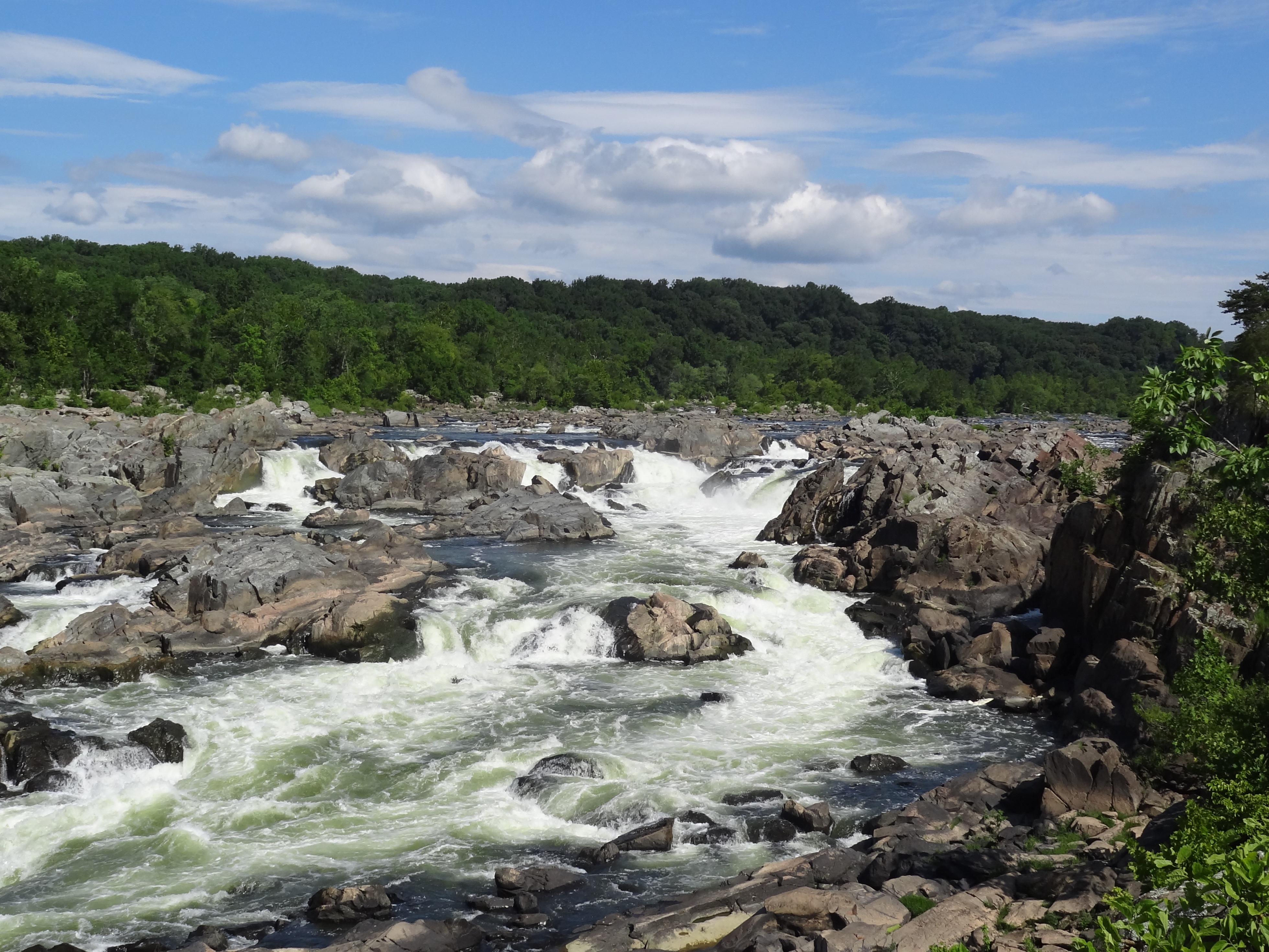
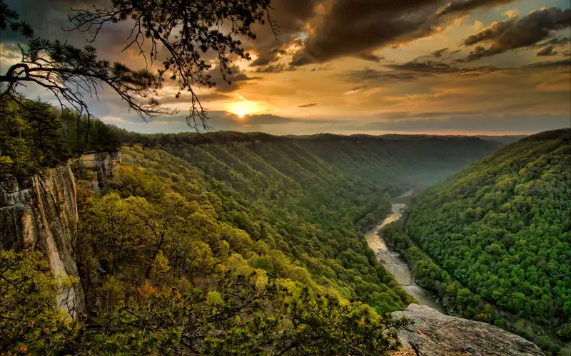
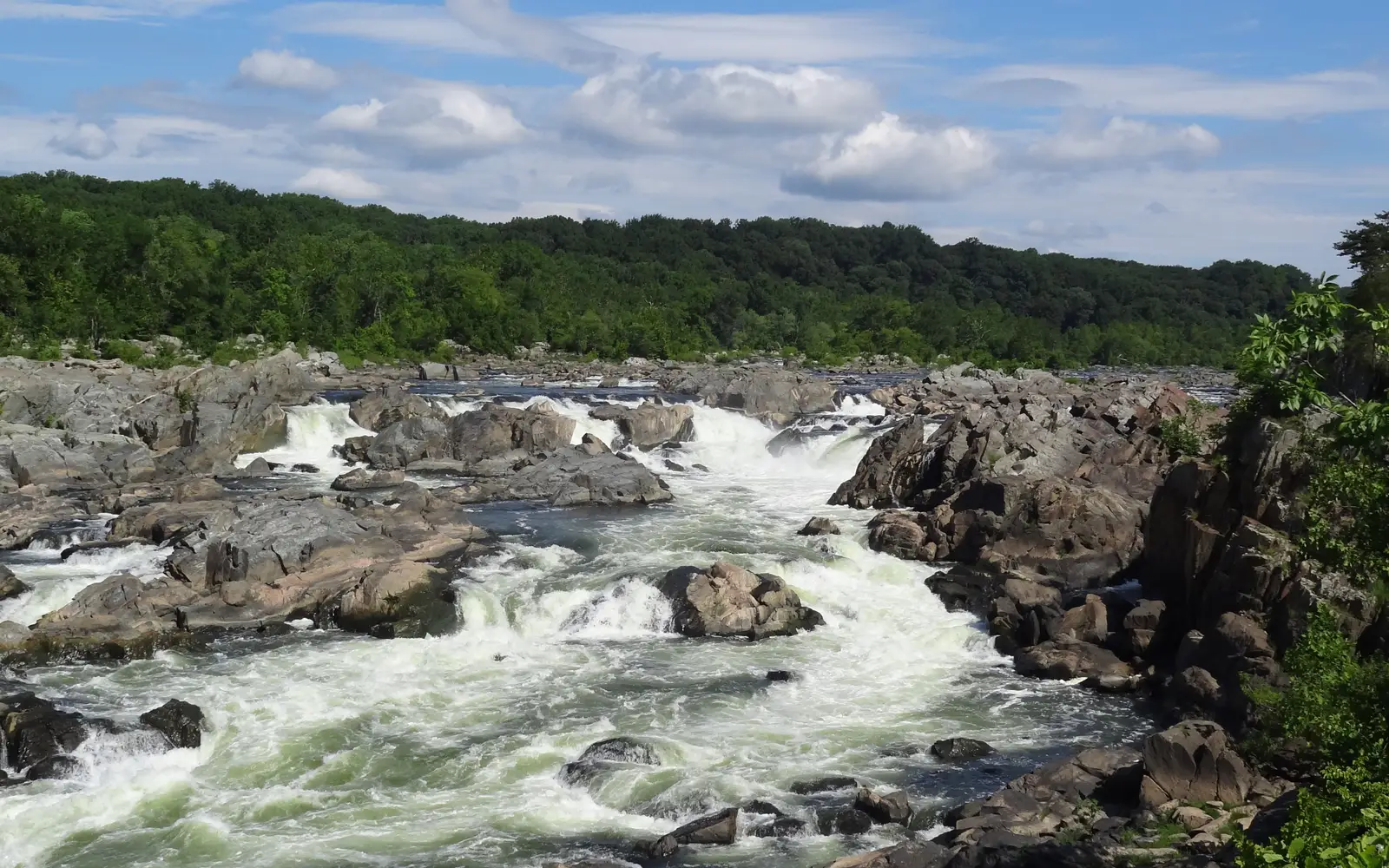
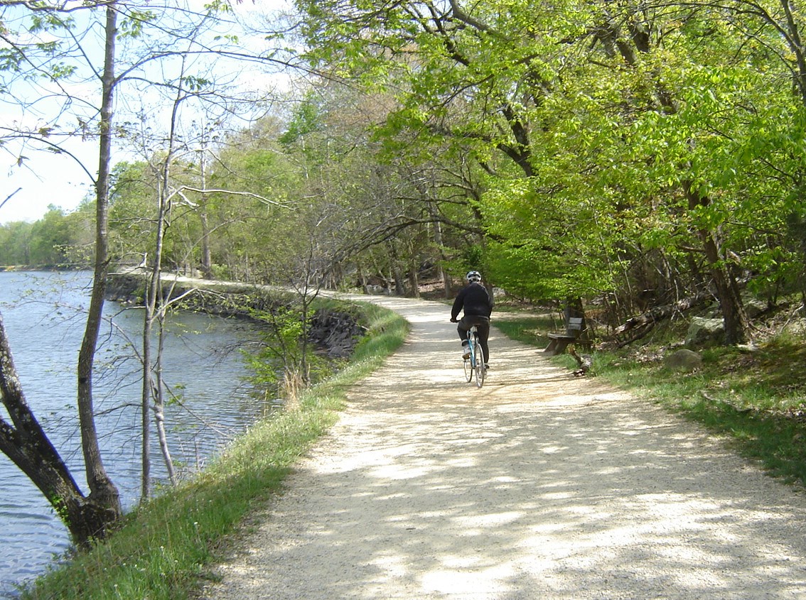
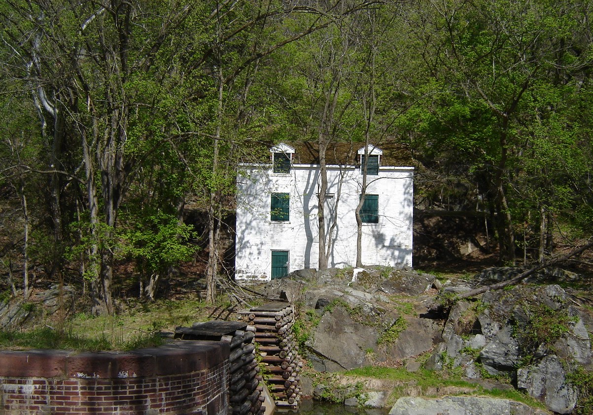
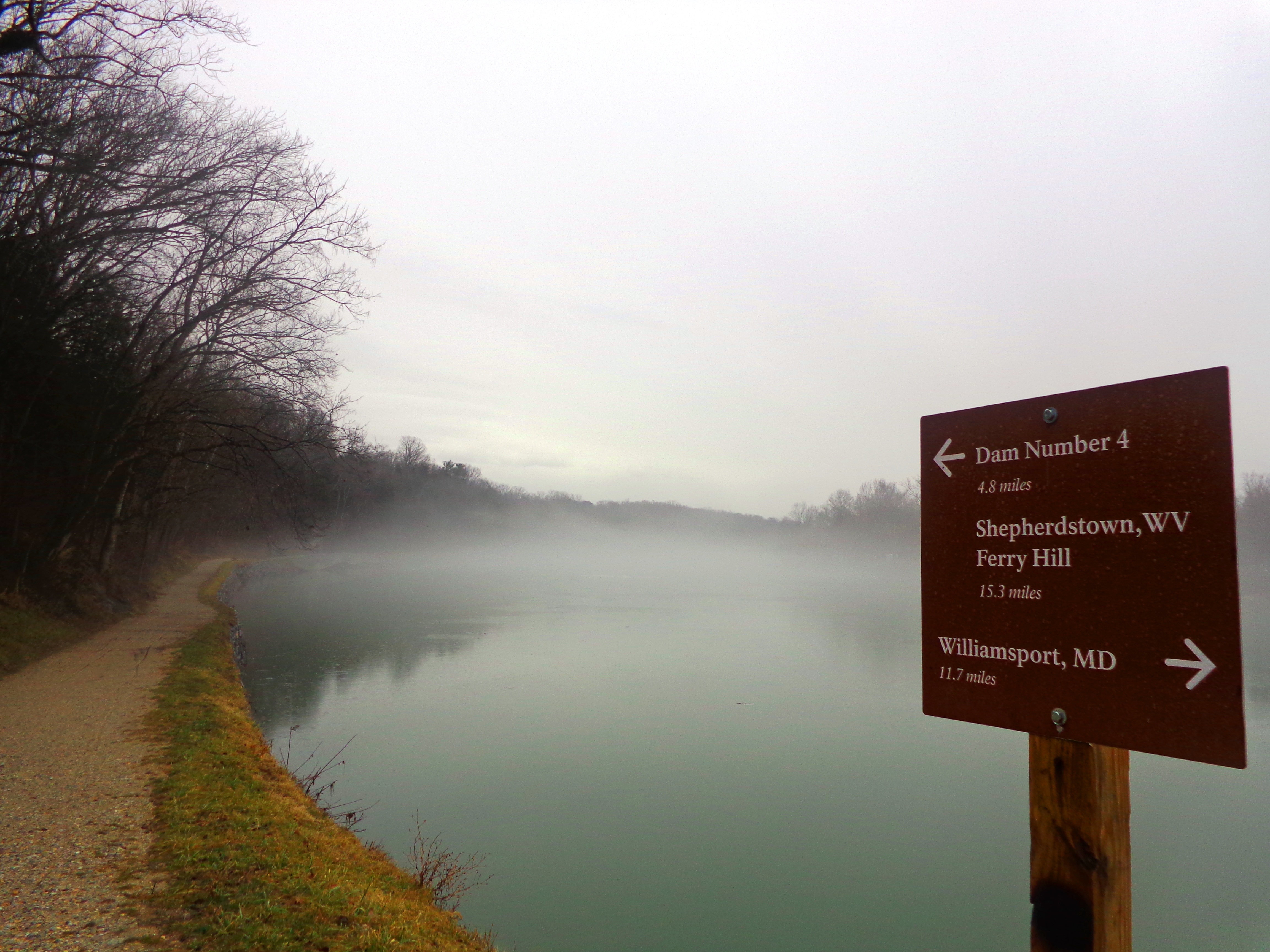
The rushing river cascades over the rocks of the PotomacA single bike rider on the towpath next to the widewater section of the canal.A whitewashed lockhouse sits above a stone lock with wooden crib.Fog over the Potomac River alongside the Canal towpath.
National Historical ParkDC / MD / WV

Chesapeake & Ohio Canal National Historical Park

NPS / NPS photo
90/ 100DOES IT ALL
parkverdict Experience ScoreIndependent, not sponsored

90 of 100. Our independent breadth-and-access index. How we score

Worth it?

Is Chesapeake & Ohio Canal National Historical Park worth it?

The C&O Canal National Historical Park runs roughly 185 miles from Washington DC through Maryland to the West Virginia panhandle, putting it among the most versatile linear parks on the East Coast.

A flat historic towpath follows the entire length, which is why the park pulls in casual walkers, serious cyclists, equestrians, and paddlers on the adjacent Potomac River in roughly equal numbers. Workers built the canal in the 19th century to move coal and timber to market, and that industrial past gives the corridor a weight you feel rather than just read about on a placard. Dramatic mountain scenery is not what you come here for, but if you want accessible, multi-day, human-powered travel with real historical depth, very few places on the East Coast compete. Entry is $10, and the park is open every day of the year, so almost nothing stands between you and just showing up.

The case for it

What counts as a good day here depends entirely on who you ask. Cyclists can ride a solid stretch of the towpath as a point-to-point trip, no backtracking required. Families with younger kids tend to go for a short, flat hike and then catch a boat tour to watch a working canal lock in action. Paddlers can put in on the Potomac, and freshwater fishing alongside herons is genuinely common. Campers can link several nights together using the park's hike-in and drive-in sites, turning the corridor into a multi-day trip that feels like a real expedition without asking anything technically difficult of you. When winter cooperates, the same stretch opens up for cross-country skiing and snowshoeing, and the ice skating pulls an actual crowd. If the history feels thin from the landscape alone, the guided tours fill that in well.

Who it is for

This park is ideal for cyclists planning a long-distance towpath trip, families wanting flat, accessible outdoor time near DC or western Maryland, paddlers, and anyone interested in 19th-century American industrial and transportation history. Visitors seeking rugged backcountry, dramatic elevation, or western-style scenery should look elsewhere. It rewards repeat visitors exploring different sections.

Best time to visit

Late April through early June is the best time to go: temperatures are mild, spring wildflowers are out, and birds are active along the Potomac corridor before the summer humidity arrives. October is another solid window, with fall foliage and cooler air that make for good cycling. Summer brings crowds and gets warm and humid near DC. Winter holds up well in the western sections near the West Virginia end, where higher elevations support skiing and snowshoeing.

Worth seeing

  • 185-mile flat towpath open 365 days a year for biking, hiking, and horseback riding
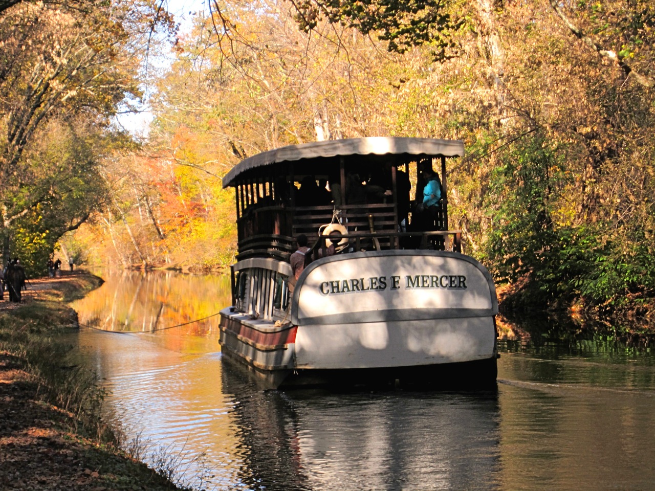
  • Boat tours that demonstrate the historic canal lock system in operation
  • Paddling and freshwater fishing on the Potomac River corridor
  • Multi-day towpath camping using a network of front-country and group campsites
  • Winter cross-country skiing and snowshoeing in the elevated western sections
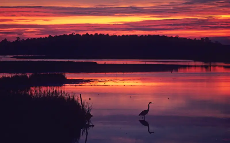
  • Birdwatching and wildlife watching along one of the mid-Atlantic's premier riparian corridors

Before you visit

Entry is $10 per vehicle, and the towpath is open year-round. The park runs through three states, so figure out which section you want before you head out. Driving from the DC end all the way to the western West Virginia terminus takes a serious chunk of time. Cell service gets spotty in the rural western stretches, so pull down offline maps before any multi-day trip.

Our tipDoing a multi-day cycling trip on this trail? A car shuttle at each end is worth the extra planning. The towpath runs in one direction with almost no elevation change, so you ride west to east, cover real distance, and never backtrack over ground you already know.

How we scored it

Behind the 90

The number is not a mood. It is a few things we can actually check in public records, added up and capped so no single one runs away with the total. It tracks how much a place has going on and how easy it is to reach, and nothing about scenery or crowds. Here is what added up to 90:

  • Activity breadth24 documented activities
  • Topic breadth22 topics
  • Official imagery5 public-domain images
  • Camping on sitedocumented
  • Entry cost$10

No number is hand-adjusted and no unit pays for placement. The full weights, the floor at 18 and a worked example are on how we score.

The honest limits

What the score cannot tell you

A quick honest note. The score tracks how much a place has going on and how easy it is to reach, both pulled from public records. What it cannot see is the stuff that often makes or breaks a day: whether the views stop you cold, how packed it gets in season, what the trails are like after rain, or whether you catch a great ranger talk. A small, single-focus site can land below a sprawling park here and still be the better call for your trip. Use the number to compare what places offer on paper, and the verdict up top to tell if it is your kind of place.

Overview

About Chesapeake & Ohio Canal National Historical Park

The C&O Canal started as a dream, a way to tap into western wealth by water. For nearly 100 years it functioned as a lifeline for Potomac River communities, carrying coal, lumber, and farm goods down to market. Today that same route draws people looking to explore its history, its natural surroundings, and the recreational possibilities it still offers.

On documented breadth and access, Chesapeake & Ohio Canal National Historical Park ranks 3rd of 24 park and public-land units we score in District of Columbia.

Climate note

Washington, DC and the surrounding area have a four-season Mid-Atlantic climate. Summers are warm and humid, winters bring cold and snow, and rain falls at 2 to 4 inches per month year-round. Head west along the canal and the elevation climbs, pulling temperatures down and pushing precipitation up.

Things to do

What it offers

BikingRoad BikingBoatingBoat TourCampingCar or Front Country CampingGroup CampingFishingFreshwater FishingGuided ToursBoat TourHikingFront-Country HikingHorse TrekkingHorseback RidingIce SkatingPaddlingJunior Ranger Program
Common questions

Chesapeake & Ohio Canal National Historical Park: quick answers

Is Chesapeake & Ohio Canal National Historical Park worth visiting?

The C&O Canal National Historical Park runs roughly 185 miles from Washington DC through Maryland to the West Virginia panhandle, putting it among the most versatile linear parks on the East Coast.

Is Chesapeake & Ohio Canal National Historical Park free to visit?

Not free. Getting in runs about $10.

What is Chesapeake & Ohio Canal National Historical Park best for?

It leans hardest toward hiking, camping, good with kids, water activities, going by the 24 activities it actually documents.

When is the best time to visit Chesapeake & Ohio Canal National Historical Park?

Late April through early June is the best time to go: temperatures are mild, spring wildflowers are out, and birds are active along the Potomac corridor before the summer humidity arrives.

How is the Experience Score for Chesapeake & Ohio Canal National Historical Park calculated?

The 90 comes straight from public data on how much the place documents and how easy it is to reach, things like activities, topics, photos, camping and whether entry is free. It says nothing about scenery or how busy it gets.