parkverdict
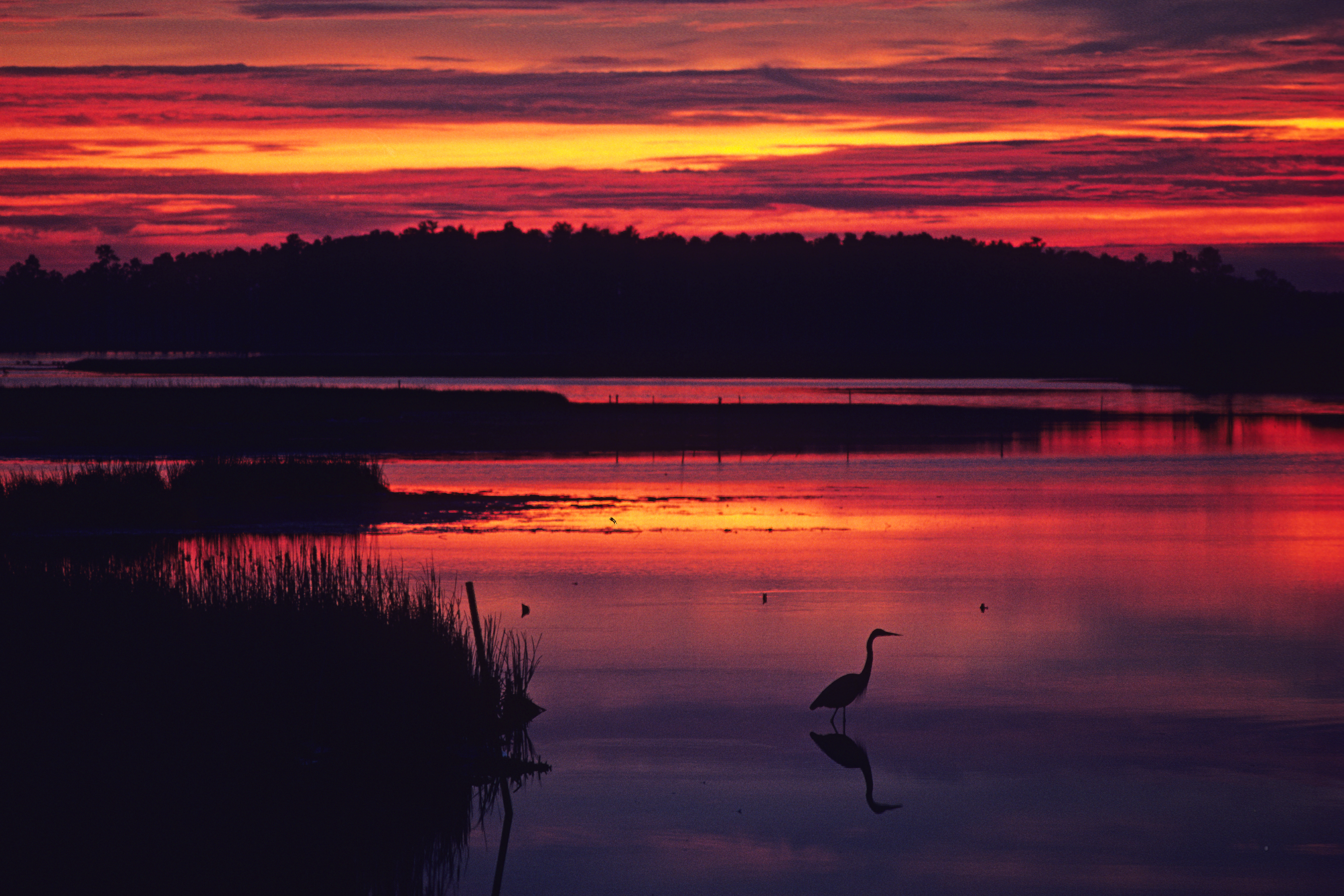
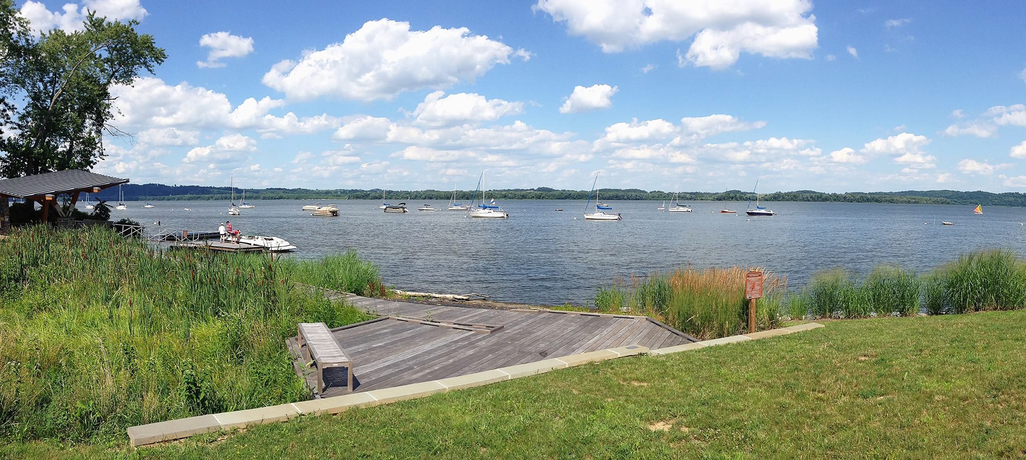
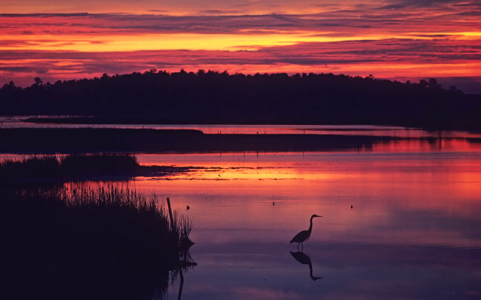
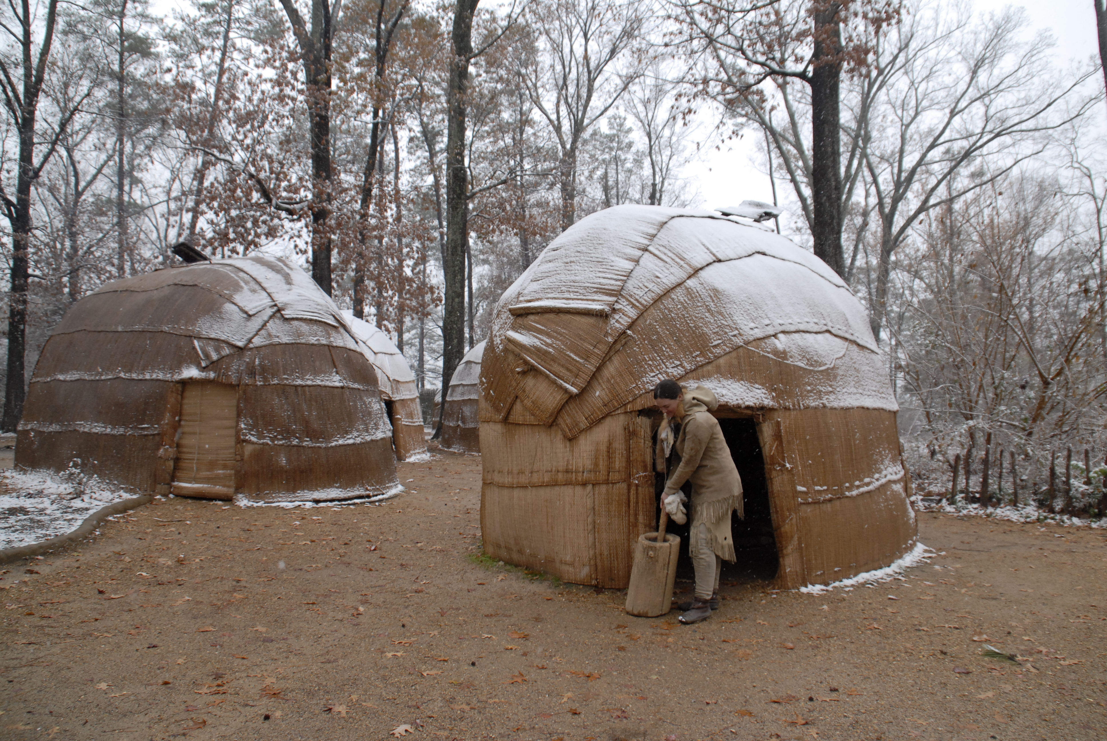
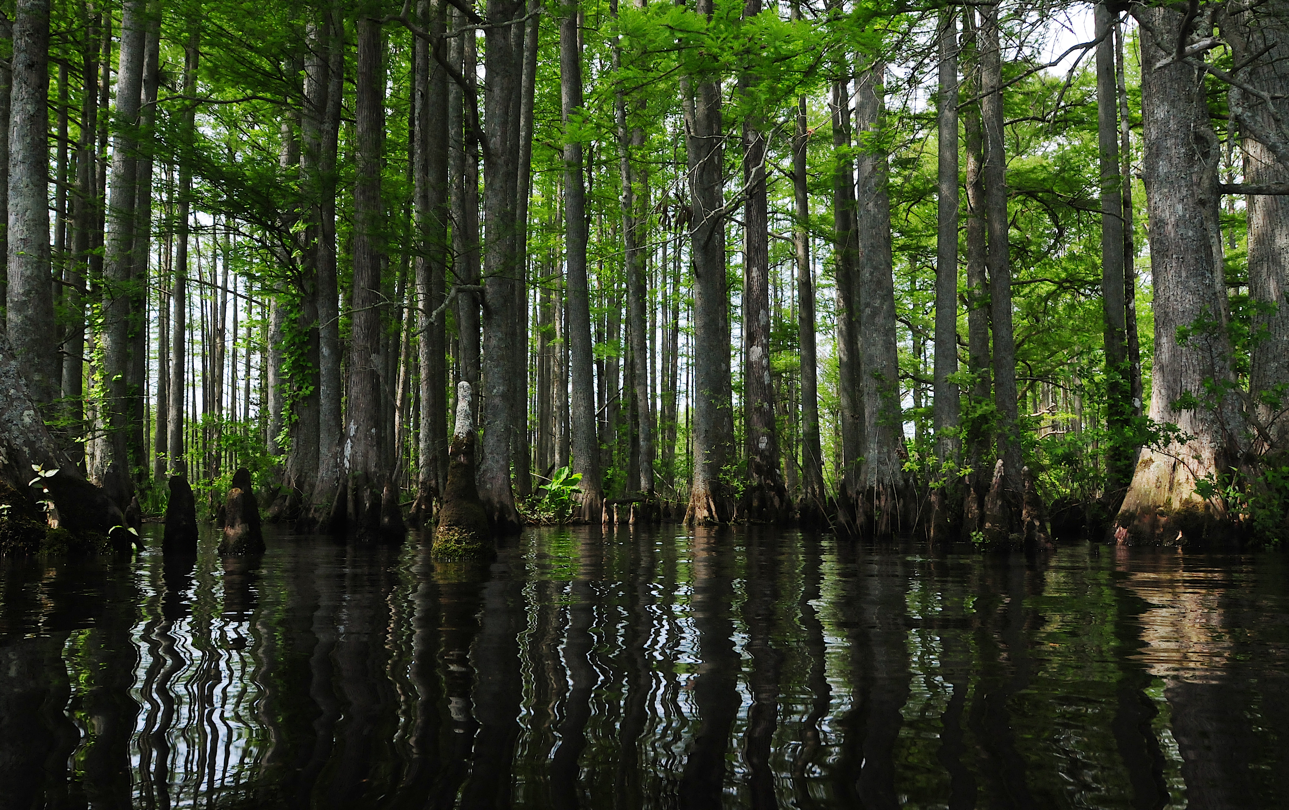
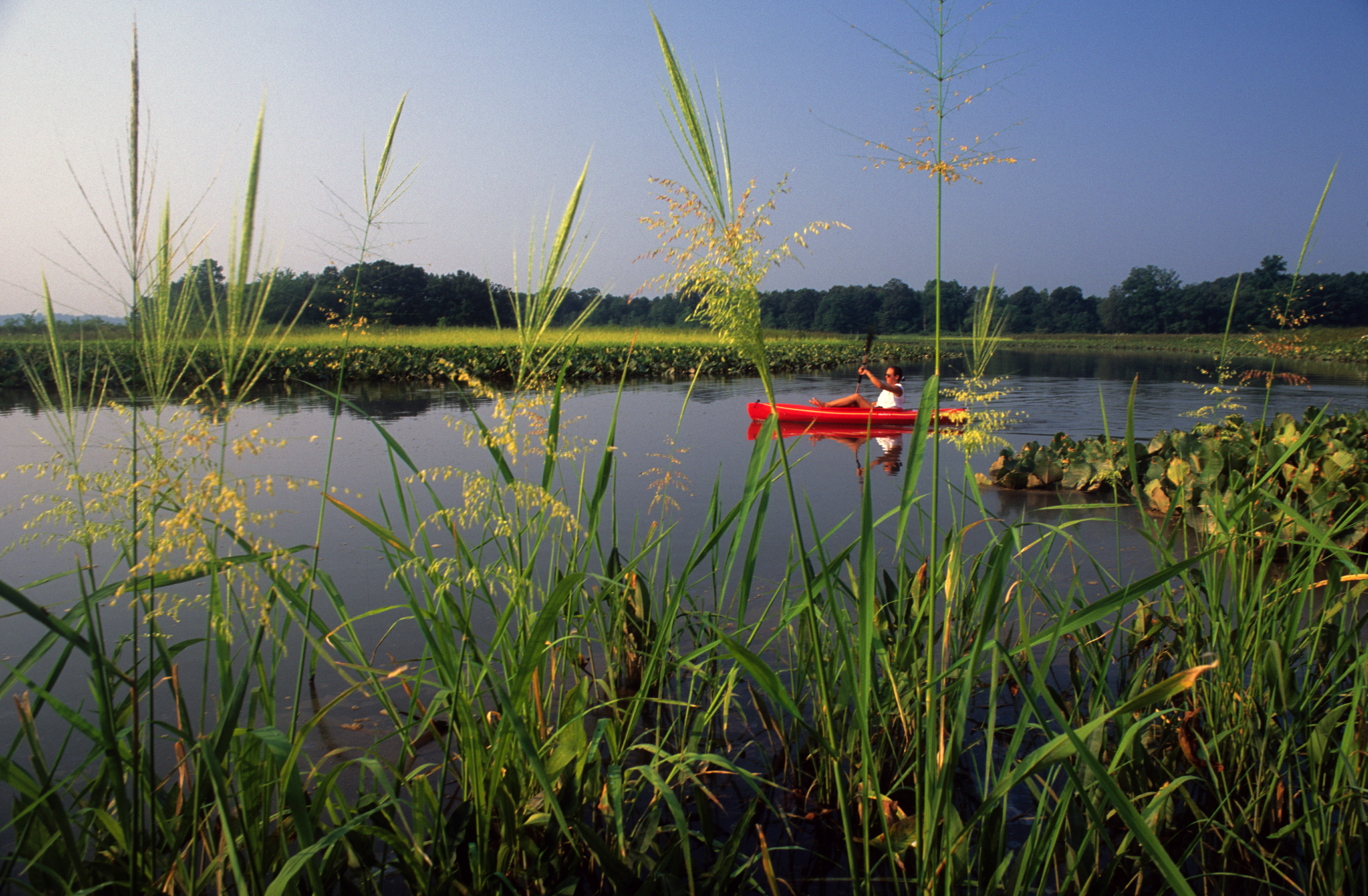
A heron at sunset in the waters and marshes of Blackwater National Wildlife RefugeA re-created American Indian town.Many baldcypress trees standing in the Chickahominy RiverA lone kayaker explores the Patuxent River
National Historic TrailVA / MD / DE / DC / PA / NY

Captain John Smith Chesapeake National Historic Trail

NPS / NPS Photo / Middleton Evans
100/ 100DOES IT ALL
parkverdict Experience ScoreIndependent, not sponsored

100 of 100. Our independent breadth-and-access index. How we score

Our take

Is Captain John Smith Chesapeake National Historic Trail worth your trip?

The Captain John Smith Chesapeake National Historic Trail runs through six states and Washington DC as a water-based network retracing the 1608 voyages of the English explorer across the Chesapeake Bay and its tributary rivers.

There is no single entrance or parking lot. You bring your own kayak, canoe, or sailboat, find a local boat launch, and follow routes through one of the most historically layered waterways in North America. Indigenous peoples lived across these landscapes for thousands of years before Smith arrived, and that history is woven into the water itself. Every bend carries some trace of it. The trail costs nothing to access, stays open year-round, and covers a genuinely large area, which makes it a strong fit for paddlers, anglers, history enthusiasts, and wildlife watchers who are comfortable planning their own route across multiple jurisdictions.

Why go

A good day on this trail might start by dropping a kayak into a Chesapeake tributary, paddling through tidal marshes where herons and osprey show up without much effort on your part, and pulling ashore on a stretch of shoreline that appears on Smith's original 1608 map. Camping is allowed, so a long weekend can stretch into a multi-day paddle-camping trip across water that carries real ecological and historical weight. Fishing, birdwatching, and wildlife watching just happen as a byproduct of being out there. For visitors who want more context than the paddle itself provides, guided boat tours and museum exhibits at partner sites cover that ground. Families with kids can use the Junior Ranger program as a concrete way into the history.

Best for

Paddlers, kayakers, and sailors planning multi-day water trips will get the most out of this trail, as will history lovers drawn to early colonial exploration and Indigenous Chesapeake cultures. Families with kids have real options too, including guided tours and the Junior Ranger program. Just don't show up expecting a single trailhead or a conventional park experience, because that's not what this is. The trail rewards people who do their homework and put in the logistical work beforehand.

Best season

Late spring and early fall offer the most comfortable paddling conditions, with mild temperatures, lower humidity, and far less heat illness risk than midsummer. Summer brings crowds but demands early starts, solid sun protection, and consistent hydration given how hot and humid the Chesapeake gets. Winter paddling is possible, though cold-water safety gear becomes non-negotiable.

The high points

  • Paddling historic Chesapeake Bay tributaries that appear on John Smith's 1608 exploration maps
  • Multi-day paddle-camping routes connecting ecologically rich tidal marshes and shorelines
  • Birdwatching and wildlife watching from the water, particularly wading birds and raptors
  • Guided boat tours and museum exhibits at partner sites along the trail corridor
  • Fishing across a wide network of tidal rivers and bay waters
  • Junior Ranger program connecting kids to both the history and the natural environment

Know before you go

Getting on the water is free, but there is no central visitor center or managed trailhead to orient yourself from. Access comes through local boat launches spread across VA, MD, DE, DC, PA, and NY, and each one requires its own research before you show up. Parking, launch fees, and on-site facilities differ from spot to spot and are managed by state or local authorities, not the NPS. Wear a life jacket whenever you are on the water.

One more thingBefore you go, look up the NPS trail website for water trail segments that follow Smith's documented 1608 voyage routes. Bring the historical log along on one of those named segments and what starts as a pleasant paddle turns into something more grounded, a direct link to a specific moment in 1608.

How we scored it

How Captain John Smith Chesapeake National Historic Trail earned its 100

Where does a 100 come from? One formula, run the same on every place we cover, built only from public data on what a unit offers and how reachable it is. It says nothing about how pretty a spot is or how busy it gets. This is what fed it:

  • Activity breadth34 documented activities
  • Topic breadth39 topics
  • Official imagery5 public-domain images
  • Camping on sitedocumented
  • Entry costfree

No number is hand-adjusted and no unit pays for placement. The full weights, the floor at 18 and a worked example are on how we score.

The honest limits

The honest blind spots

Read the score for what it is. It counts what a place documents and how reachable it is, and stops there. It will not tell you if a sunset floors you, if the crowds thin out by dusk, whether a washout closed your trail, or how a ranger tells the story. Plenty of quiet, focused spots score modestly and still win the weekend. Let the number rank what is on offer; let the verdict speak to the feel.

On offer

Documented activities

Arts and CultureCraft DemonstrationsCultural DemonstrationsBoatingSailingBoat TourCampingCanoe or Kayak CampingCar or Front Country CampingRV CampingCompass and GPSGeocachingFishingFoodPicnickingGuided ToursBoat TourHands-On
The basics

Captain John Smith Chesapeake National Historic Trail at a glance

Humans reached the Chesapeake Bay region during the last ice age. As the glaciers melted, diverse societies learned to live in a landscape defined by water. When Captain John Smith explored the Bay in 1608, he recorded hundreds of American Indian communities. The sites he marked on his map remain archeological treasures and sacred places for tribal citizens today. Come join us on the shores of the Chesapeake Bay!

On documented breadth and access, Captain John Smith Chesapeake National Historic Trail ranks 1st of 32 park and public-land units we score in Virginia.

Weather and seasons

During summer, wear light, breathable, moisture-wicking clothing and apply sunscreen. High heat and humidity raise the risk of heat cramps, heat exhaustion, and heatstroke, so carry water and wear a life jacket at all times. In winter, know that submersion in freezing water can be deadly.

Common questions

Captain John Smith Chesapeake National Historic Trail: quick answers

Is Captain John Smith Chesapeake National Historic Trail worth visiting?

The Captain John Smith Chesapeake National Historic Trail runs through six states and Washington DC as a water-based network retracing the 1608 voyages of the English explorer across the Chesapeake Bay and its tributary rivers.

Is Captain John Smith Chesapeake National Historic Trail free to visit?

Yes, there is no entrance fee.

What is Captain John Smith Chesapeake National Historic Trail best for?

It leans hardest toward hiking, camping, good with kids, water activities, going by the 34 activities it actually documents.

When is the best time to visit Captain John Smith Chesapeake National Historic Trail?

Late spring and early fall offer the most comfortable paddling conditions, with mild temperatures, lower humidity, and far less heat illness risk than midsummer.

How is the Experience Score for Captain John Smith Chesapeake National Historic Trail calculated?

The 100 comes straight from public data on how much the place documents and how easy it is to reach, things like activities, topics, photos, camping and whether entry is free. It says nothing about scenery or how busy it gets.