parkverdict
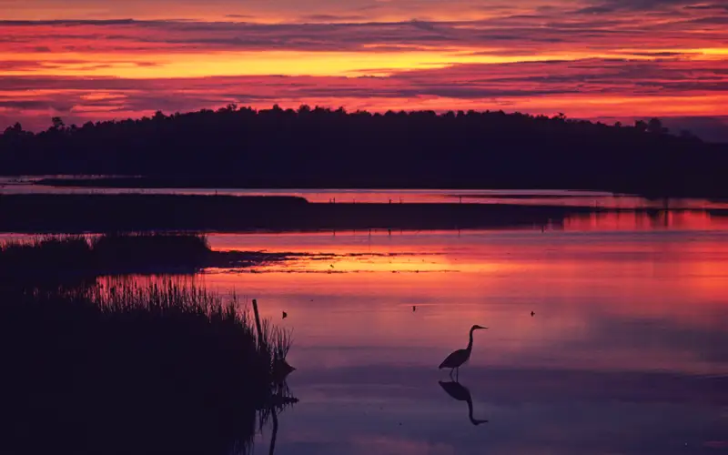
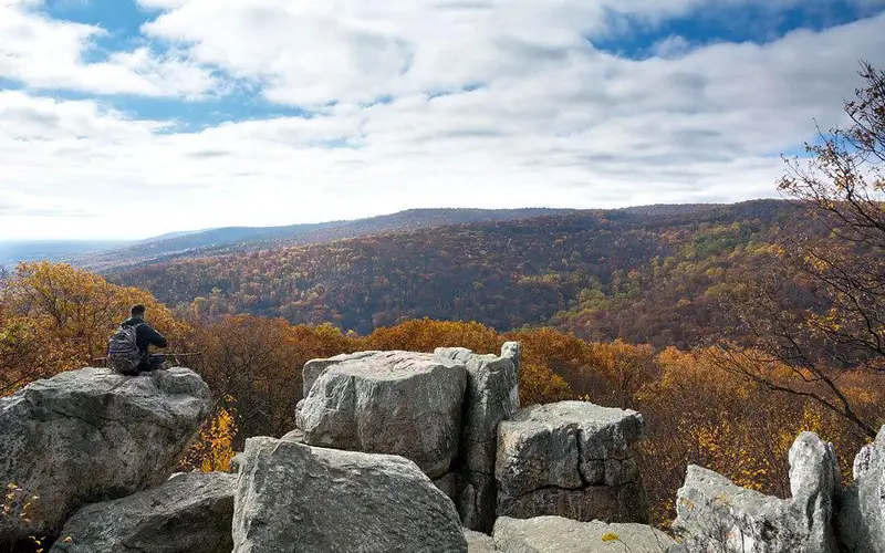
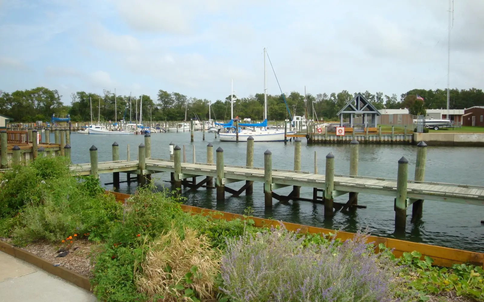
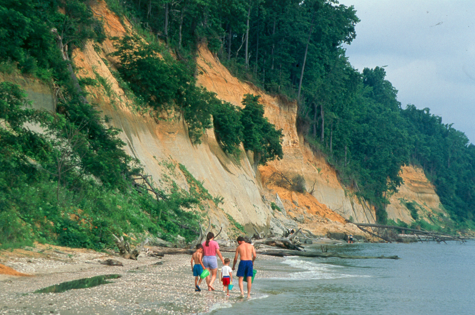
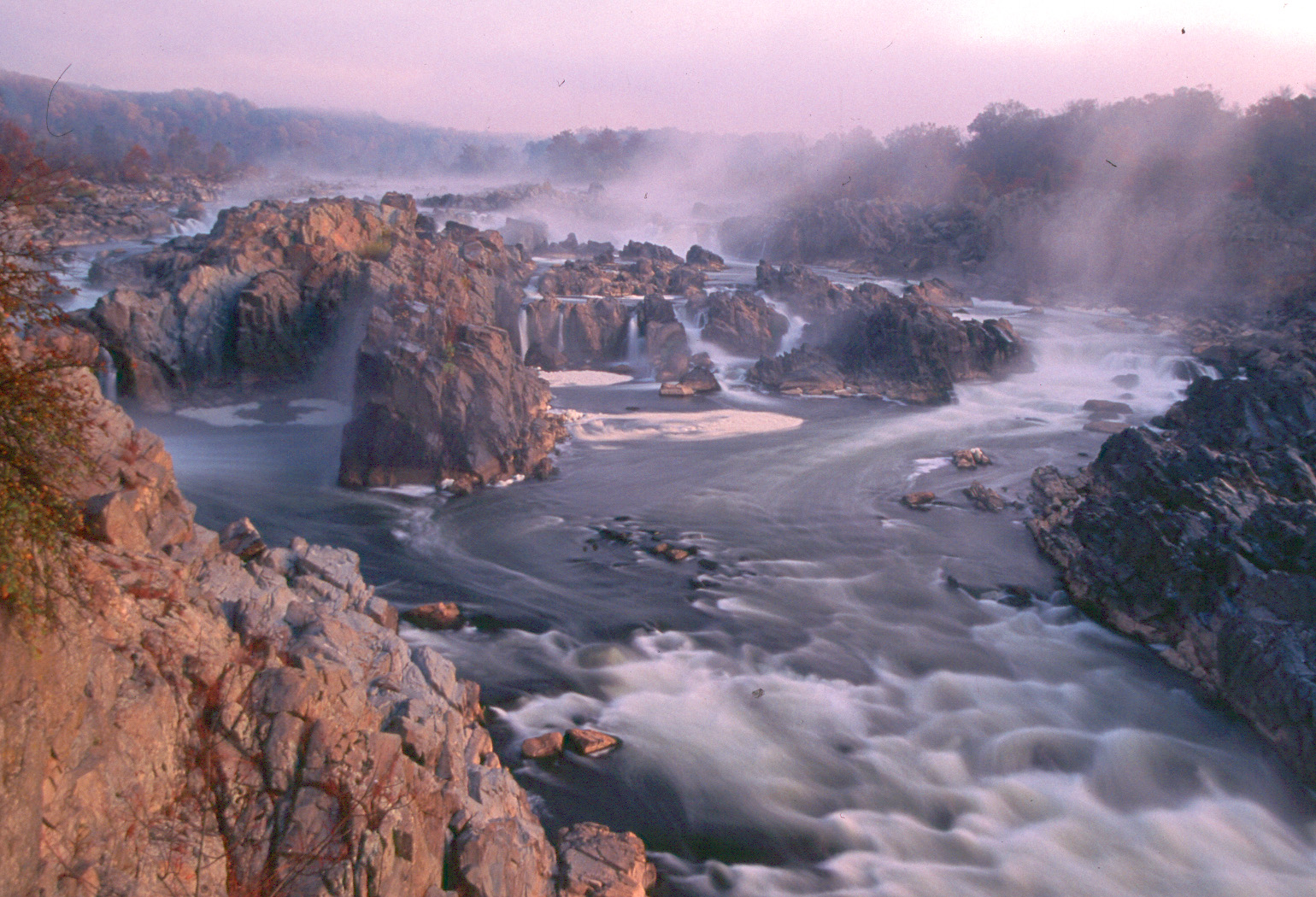
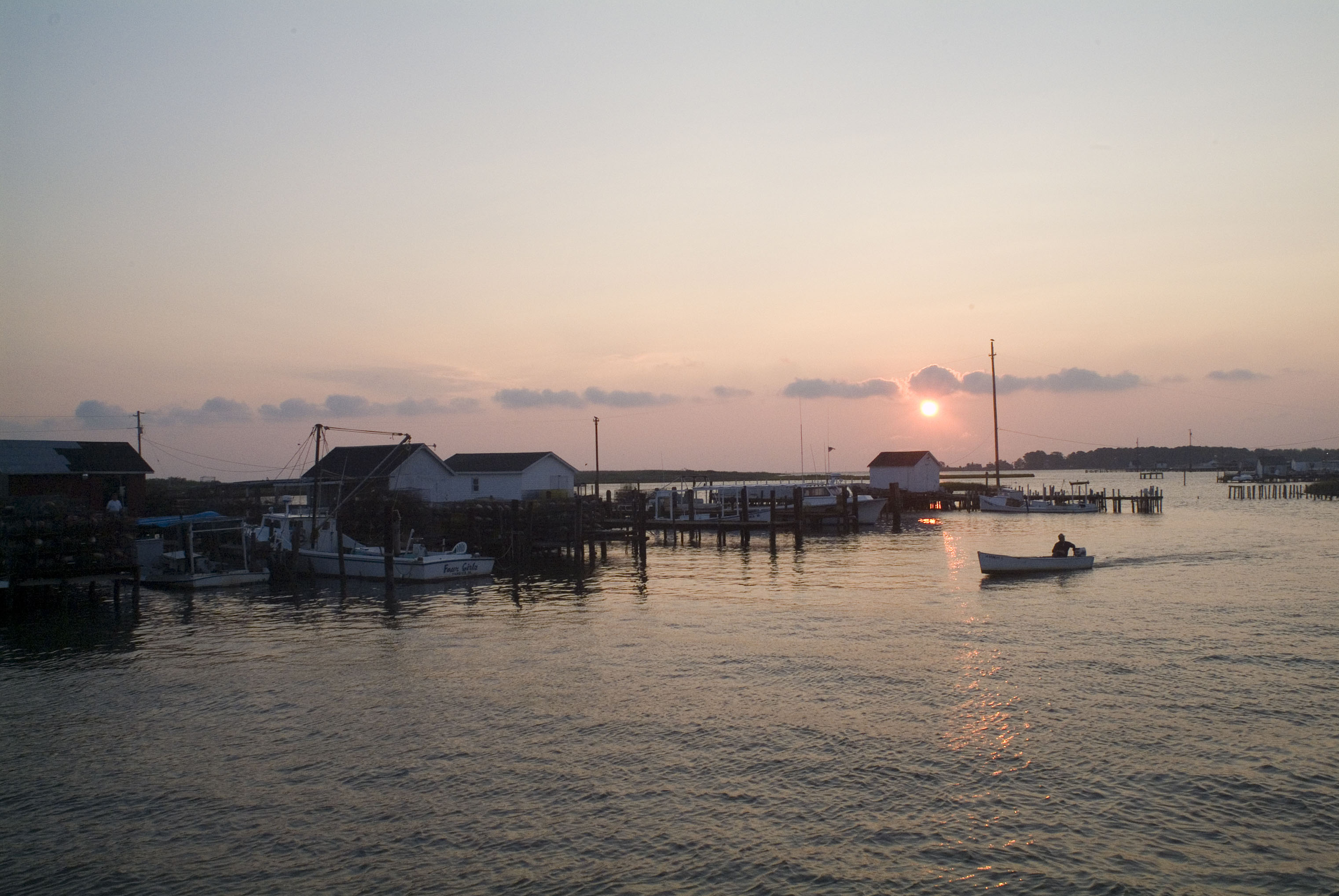
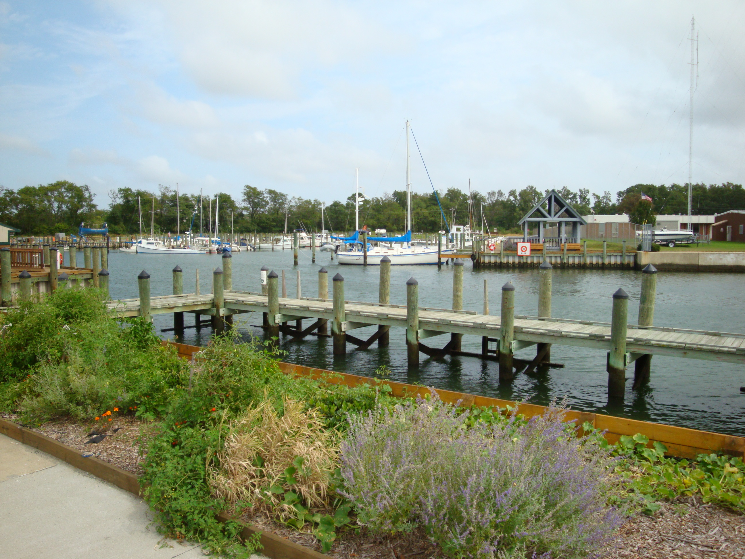
A view of docks and boats in the waterside town of Cape Charles VAA family walks along the beach searching for fossils at Calvert Cliffs.A series of waterfalls and rocky conditions show the fall line on the Potomac RiverAt sunset, a boater returns to the docks used by working watermen at Tangier Island.
ParkDC / DE / MD / NY / PA / VA / WV

Chesapeake Bay

NPS / NPS Photo
50/ 100FOCUSED
parkverdict Experience ScoreIndependent, not sponsored

50 of 100. Our independent breadth-and-access index. How we score

The bottom line

Chesapeake Bay: our verdict

Chesapeake Bay Park has no single entrance gate and no laminated trail map waiting at a kiosk.

It is a coordinating program that spans six states and Washington DC, connecting the broader Chesapeake Bay watershed through a network of water trails, gateways, and partner sites. The NPS role here is mostly administrative - the agency runs the Chesapeake Gateways and Water Trails network rather than managing one contained destination. A visit is self-directed. You pick a boat launch, a paddling trail, or a partner site and go from there. That arrangement works well for people who want to be out on the water, watch osprey and great blue herons, or work their way across the bay by kayak or canoe. If you are picturing a visitor center with rangers stationed inside and marked hiking loops out back, adjust your expectations before you make the drive.

Why visit

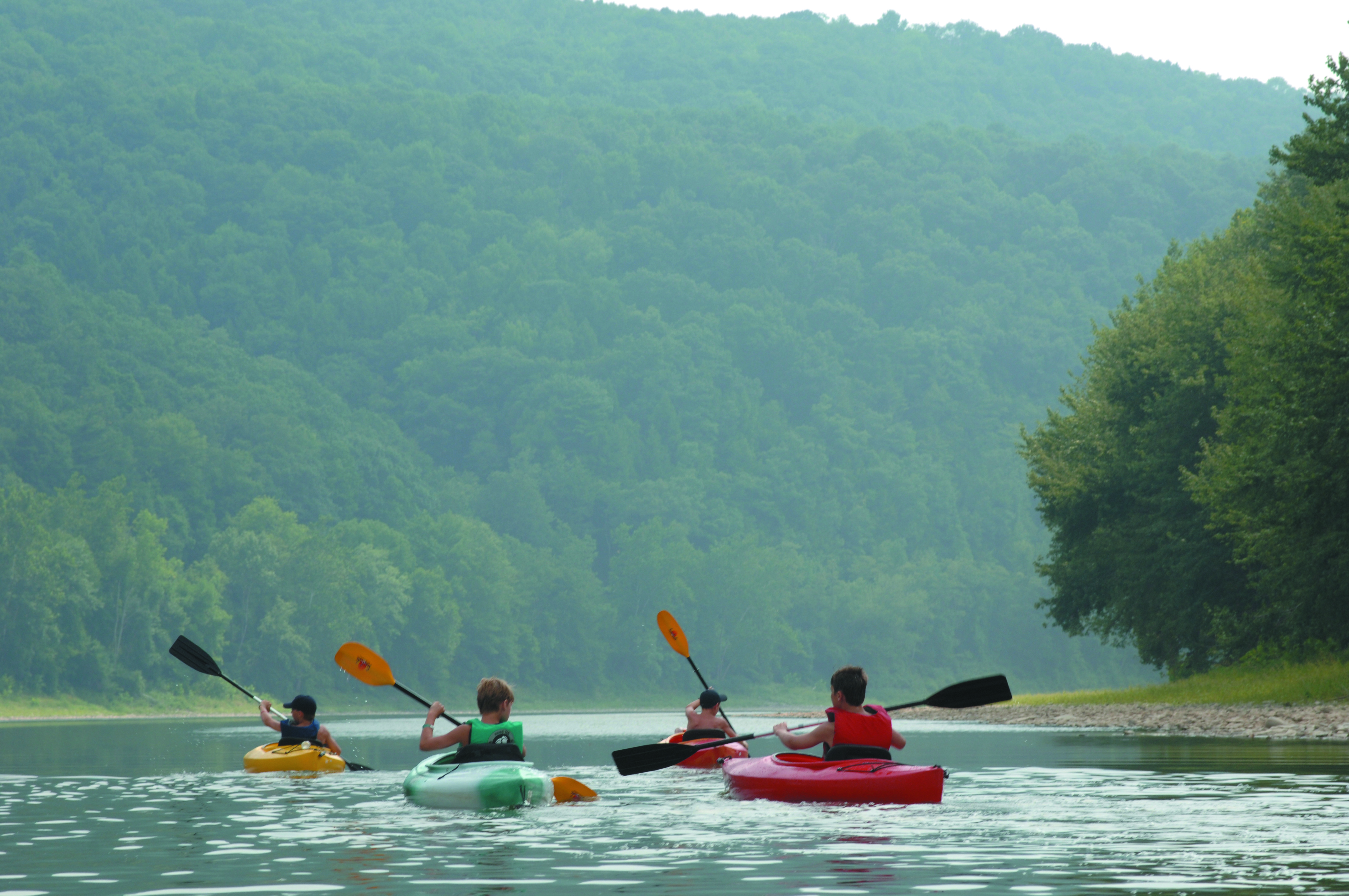
The water grabs your attention right away. The Chesapeake Bay watershed is one of the most ecologically rich estuaries in North America, and the Gateways network gives paddlers and boaters a way to move through it with some method to the madness. A good day looks like launching a kayak or canoe from one of the network access points, watching ospreys, bald eagles, and shorebirds work the tidal shorelines, and going at whatever pace suits you. Geocaching and compass and GPS activities add a scavenger hunt feel that families tend to love. The Junior Ranger Program gives kids a real path into the watershed's ecology rather than just dropping them in with no context. Guided tours through partner organizations get into the natural and cultural history of the bay in ways that solo paddling rarely touches.

Who it suits

Paddlers, boaters, birders, and families who want a water-focused day out without paying a park entrance fee tend to love this place. Educators and anyone drawn to hands-on estuary work will find it worthwhile too. If you need maintained trails, on-site rangers, or staff nearby, look somewhere else. Day hikers and road-trippers hoping for a quick, tidy scenic stop will find it too spread out for their purposes.

Timing your visit

Late spring through early fall, roughly May through September, offers the warmest water and the most reliable paddling and boating conditions. Summer days climb into the mid-80s with real humidity, so heading out early in the morning makes a noticeable difference. September and October tend to get passed over, but cooler air, lower humidity, and active migratory bird movement along the bay make fall a genuinely good time for wildlife watching.

What stands out

  • Paddling and boating access across a vast tidal estuary watershed spanning six states
  • Wildlife watching for ospreys, bald eagles, and migratory shorebirds along tidal shorelines
  • Geocaching and GPS navigation activities that turn the watershed into an interactive puzzle
  • Junior Ranger Program designed to connect kids to bay ecology and stewardship
  • Guided tours through partner organizations offering natural and cultural history context
  • Free access with no entrance fee at any point in the network

Good to know

No single entrance or visitor center exists here. Instead, access runs through the Chesapeake Gateways network of partner sites, boat launches, and water trail access points spread across DC, Delaware, Maryland, New York, Pennsylvania, Virginia, and West Virginia. Before you go, check the NPS Chesapeake Bay website to find the gateway site closest to you, because hours and amenities vary by location.

Insider tipBefore heading out, check the NPS Chesapeake Gateways finder to locate a water trail access point near you. The program office in Annapolis is not a paddling destination. The best wildlife and paddling experiences are at partner sites, and those sites stay fully functional even when the program office is closed.
How we scored it

Why Chesapeake Bay scores 50

We keep the math boring on purpose. The same handful of public-data inputs, capped so none of them dominates, decide every score. What they measure is breadth and access, not beauty and not crowd levels. For Chesapeake Bay, they shook out like this:

  • Activity breadth7 documented activities
  • Topic breadth7 topics
  • Official imagery5 public-domain images
  • Camping on sitenone recorded
  • Entry costfree

No number is hand-adjusted and no unit pays for placement. The full weights, the floor at 18 and a worked example are on how we score.

The honest limits

Where the score goes quiet

One limit to keep in mind. Everything here comes from public records on what a unit documents and how reachable it is, so the score cannot judge beauty, crowds, trail conditions, weather, or how good any single program is. That is exactly why a small, specific place can score below a sprawling park and still be your better trip. Take the number as a like-for-like look at what is on paper, and lean on the verdict for the human read.

What you can do

Activities

BoatingCompass and GPSGeocachingGuided ToursPaddlingJunior Ranger ProgramWildlife Watching
Background

The short version

More than 41 million acres drain into Chesapeake Bay, and the National Park Service operates across that entire watershed, connecting people with its recreation, history, and natural places. When people actually use those resources, the whole region feels it, from local businesses and tourism dollars to the long-term health of the bay itself.

On documented breadth and access, Chesapeake Bay ranks 19th of 24 park and public-land units we score in District of Columbia.

What the seasons are like

Annapolis, Maryland falls into a warm, humid temperate climate category, with hot summers and no real dry season to speak of. Year-round temperatures range from 29°F to 86°F, though it occasionally dips below 19°F or climbs above 91°F on the extremes. The warm stretch runs from May 30 to September 18, when average daily highs clear 77°F.

Common questions

Chesapeake Bay: quick answers

Is Chesapeake Bay worth visiting?

Chesapeake Bay Park has no single entrance gate and no laminated trail map waiting at a kiosk.

Is Chesapeake Bay free to visit?

It is free to get in.

What is Chesapeake Bay best for?

It leans hardest toward good with kids, water activities, wildlife watching, guided tours, going by the 7 activities it actually documents.

When is the best time to visit Chesapeake Bay?

Late spring through early fall, roughly May through September, offers the warmest water and the most reliable paddling and boating conditions.

How is the Experience Score for Chesapeake Bay calculated?

The 50 comes straight from public data on how much the place documents and how easy it is to reach, things like activities, topics, photos, camping and whether entry is free. It says nothing about scenery or how busy it gets.