Wrangell - St Elias National Park & Preserve: our verdict
Wrangell-St.
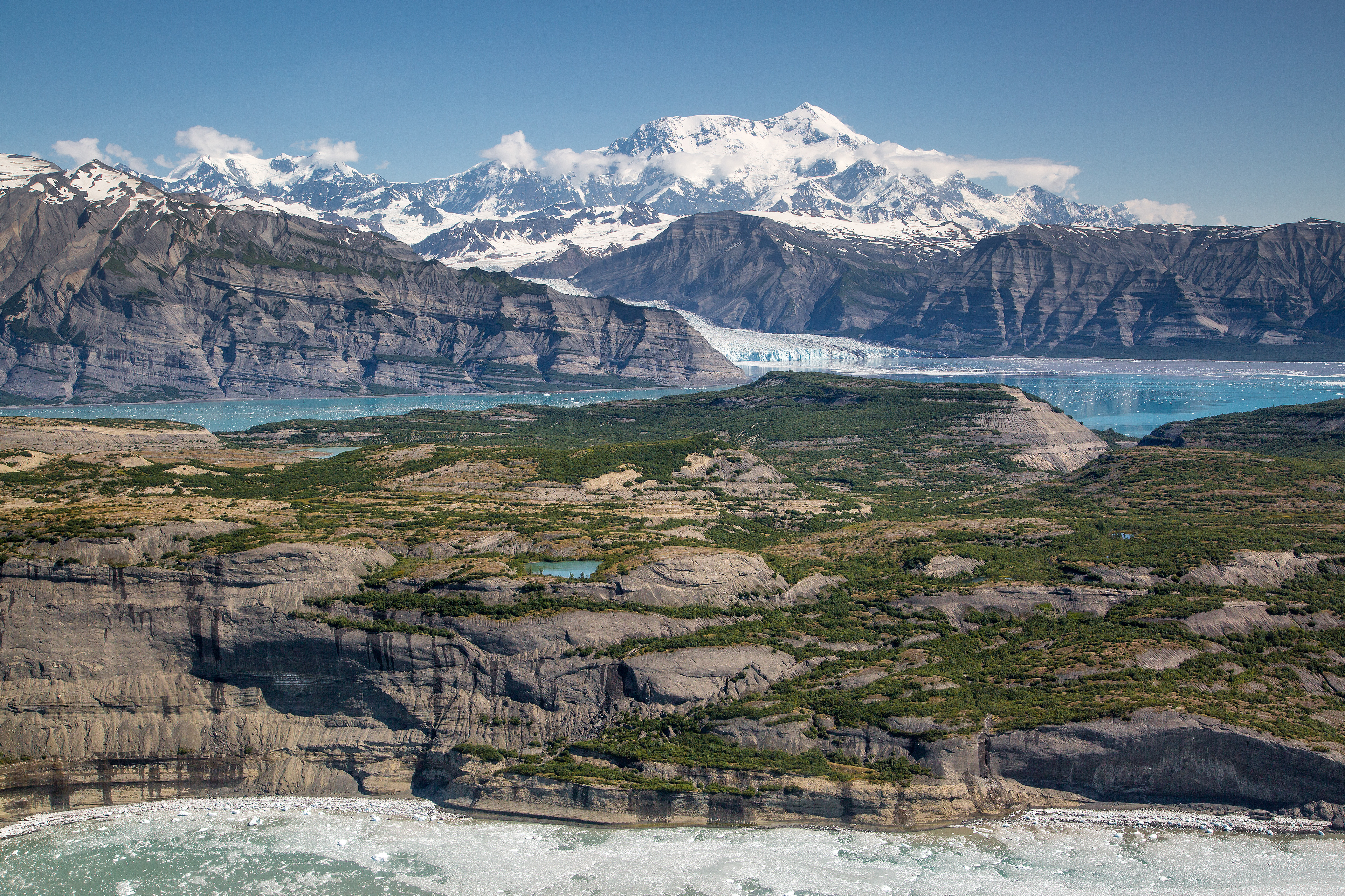
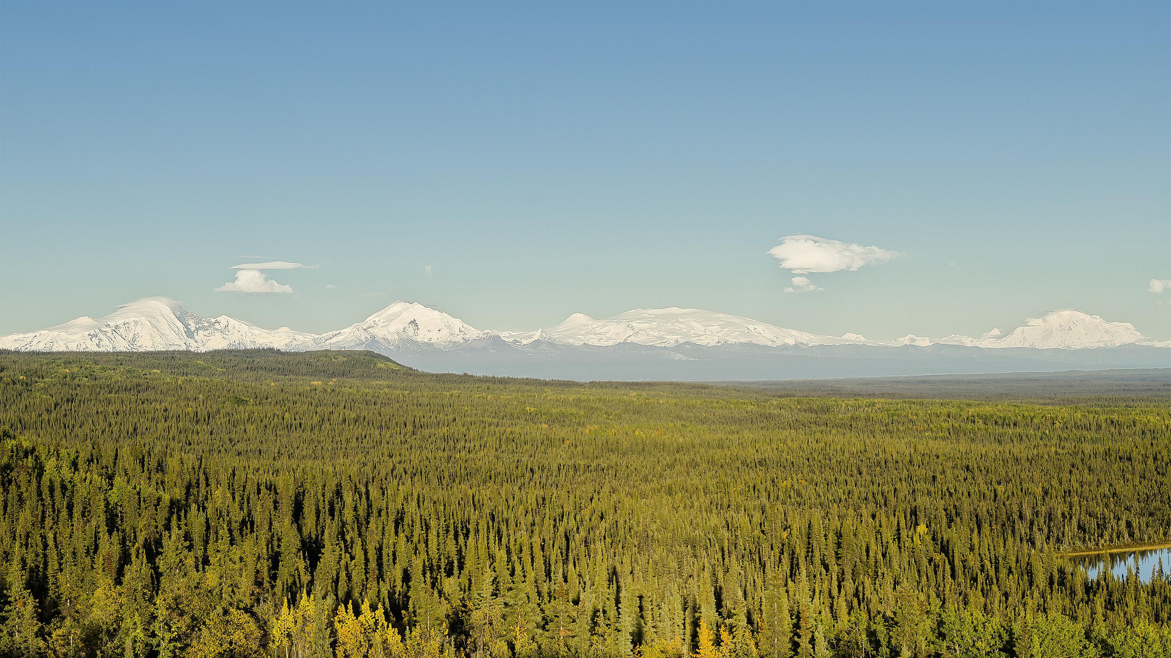
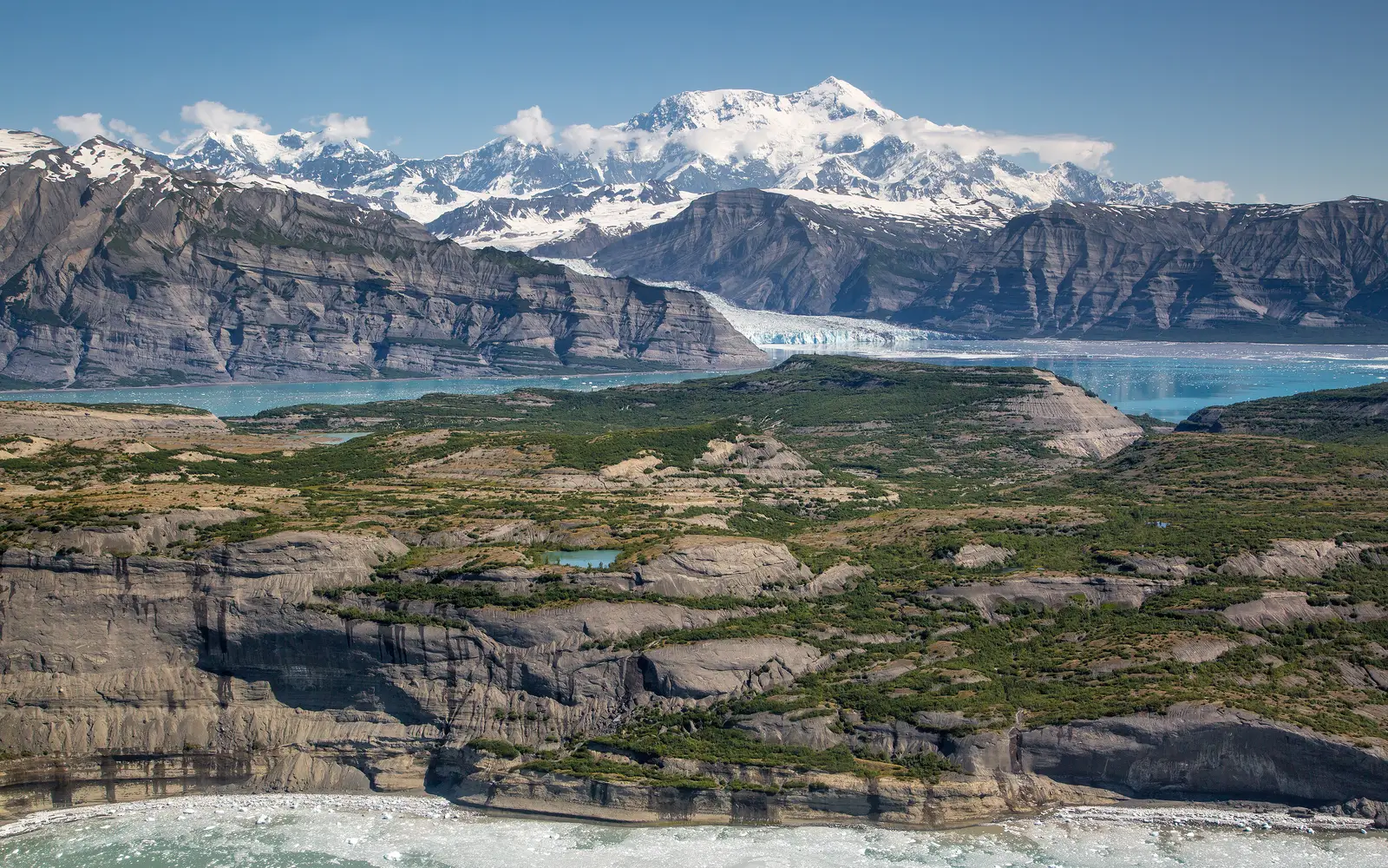
Elias is the National Park System's largest unit at 13.2 million acres. This immense scale dictates a unique visitor experience. It is not a park for casual scenic drives or short visits. The interior is serviced by two challenging gravel roads. Backcountry areas are remote and lack maintained trails. Visitor amenities are sparse and seasonal. Despite these access limitations, the park offers unparalleled natural grandeur. It features glaciated peaks exceeding 18,000 feet, untamed rivers, and pristine ecosystems. The region also preserves a living history of subsistence and mining. Entry is free. This park demands significant preparation. It rewards visitors with specific objectives, whether a multi-day backcountry traverse, a flight-seeing excursion, fishing, or simply driving the McCarthy Road to Kennecott. Casual sightseers should look elsewhere.
Why visit
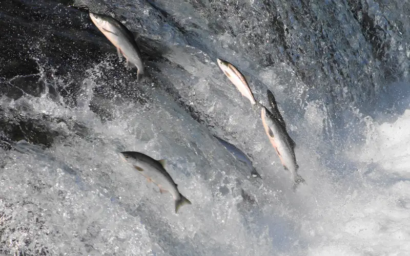
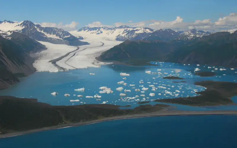
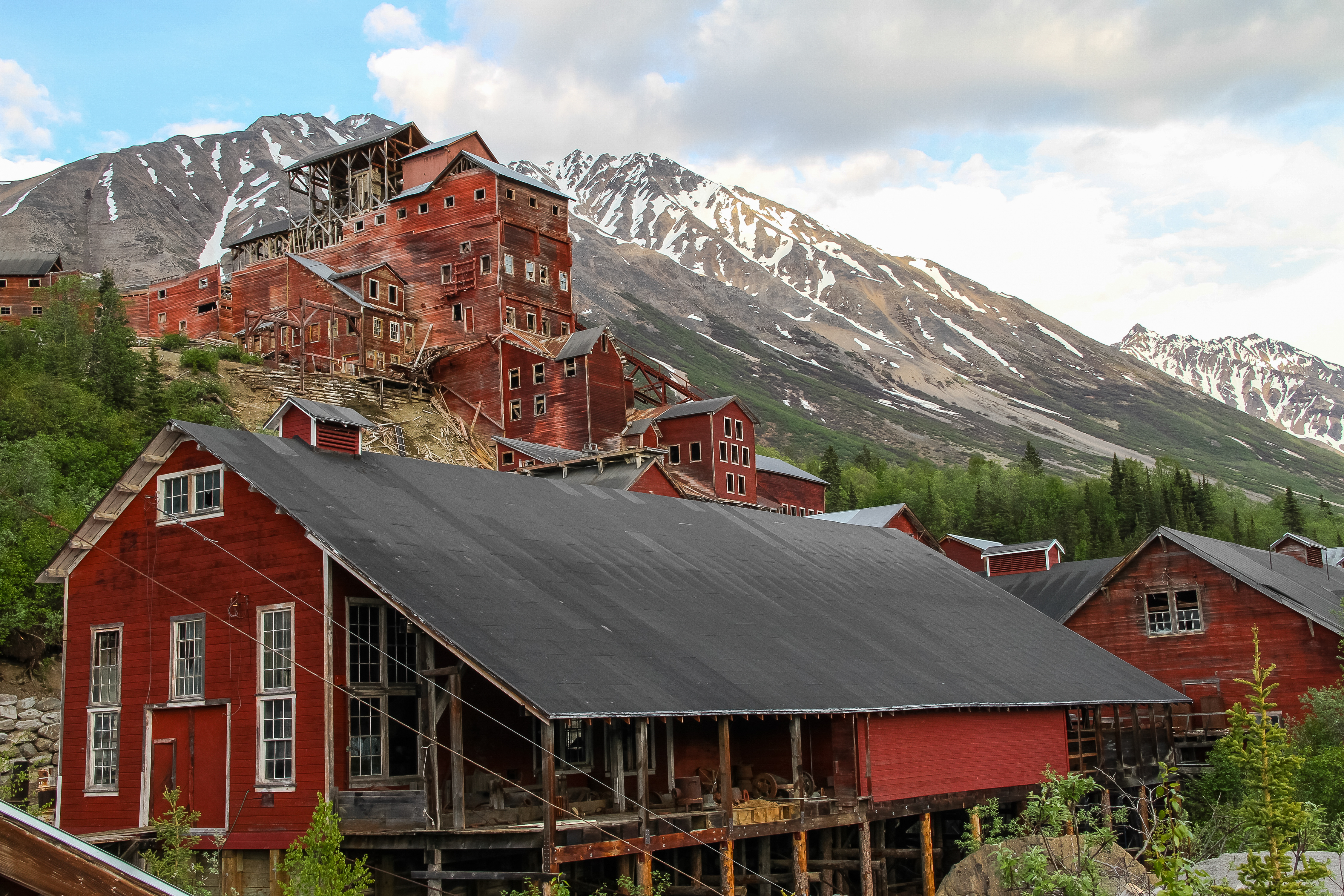
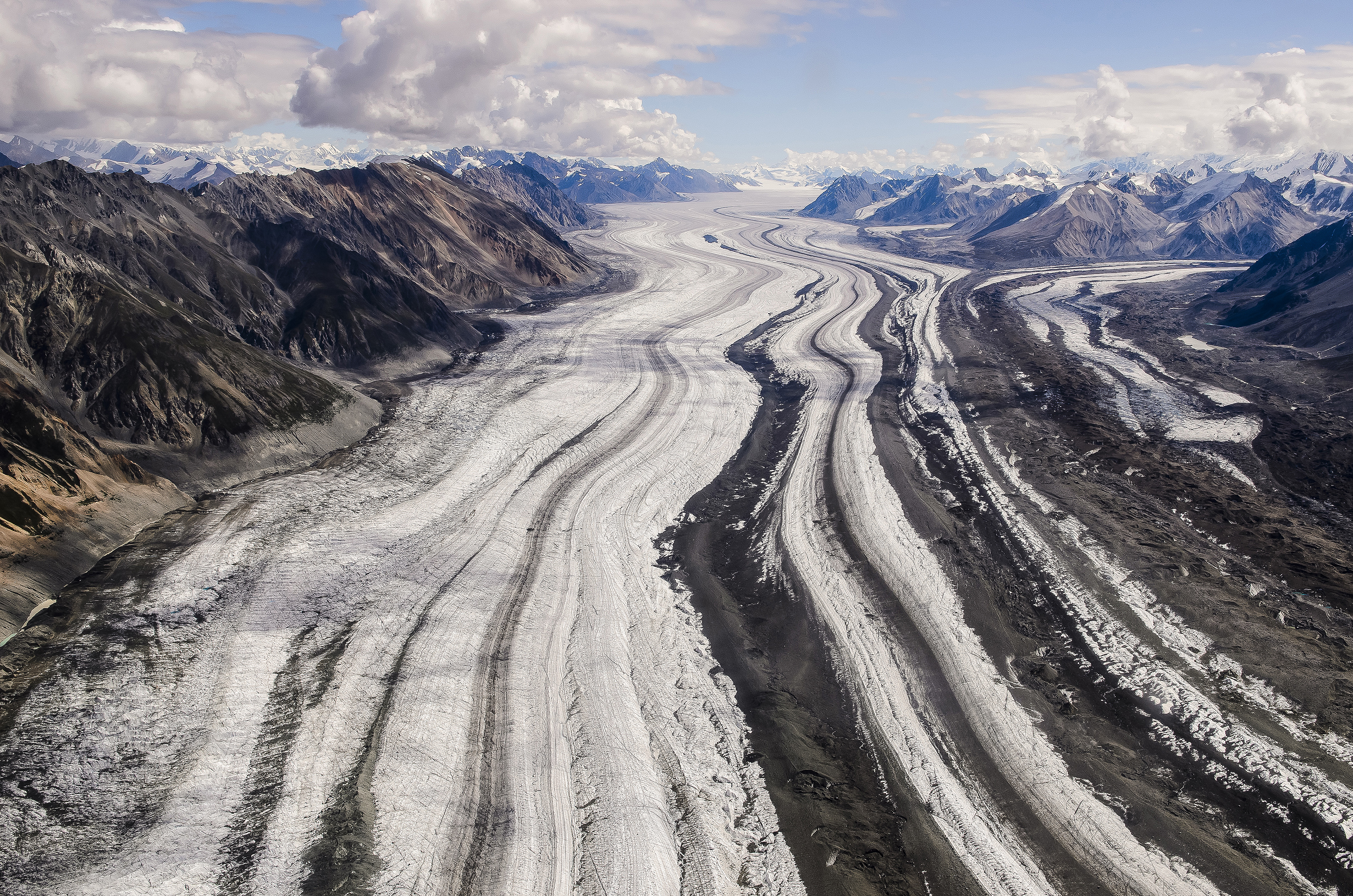
Wrangell-St. Elias National Park demands a clear understanding of its offerings. Its defining feature is scale. Fly-seeing tours over the Wrangell and St. Elias ranges provide a perspective unattainable by ground. The McCarthy Road drive to Kennecott stands as one of Alaska's most dramatic scenic routes, culminating in a historic copper mining district. This location serves as a gateway for guided glacier walks and mountaineering. River corridors further distinguish the park, offering exceptional fly fishing and extensive multi-day paddling expeditions. Wildlife watching is a serious pursuit here; the park supports intact large-mammal ecosystems. Winter transforms the experience, with snowmobiling and snowshoeing accessing terrain beyond summer reach. Families with younger children can find a structured introduction to the park's rich history through the Junior Ranger program and museum exhibits at Copper Center. This is a park for active engagement, not passive observation. Casual sightseers should look elsewhere.
Who it suits
Wrangell-St. Elias is for those who seek true wilderness on a continental scale. Self-reliant, experienced backcountry travelers, mountaineers, pilots, anglers, and paddlers will find it rewarding. Road-trippers prepared for gravel access routes will appreciate the Kennecott reward. Families with young children can manage areas near visitor centers, but should not expect extensive paved trails. Day-trippers anticipating a quick loop should look elsewhere.
Timing your visit
Summer offers the most reliable access, with all four visitor centers open and roads clear from June to early September. River travel is also most feasible during this period. Shoulder seasons provide striking scenery and fewer crowds but necessitate advance calls due to mid-season facility closures and variable access. Winter access, limited to snowmobiles and snowshoes, requires visitors to be entirely self-sufficient. Weather conditions fluctuate significantly with elevation and location across the park.
What stands out
- Fixed-wing flight-seeing over glaciated peaks reaching 18,008 feet, the highest terrain in the park
- The McCarthy Road scenic drive, a gravel route leading to the historic Kennecott copper mining district
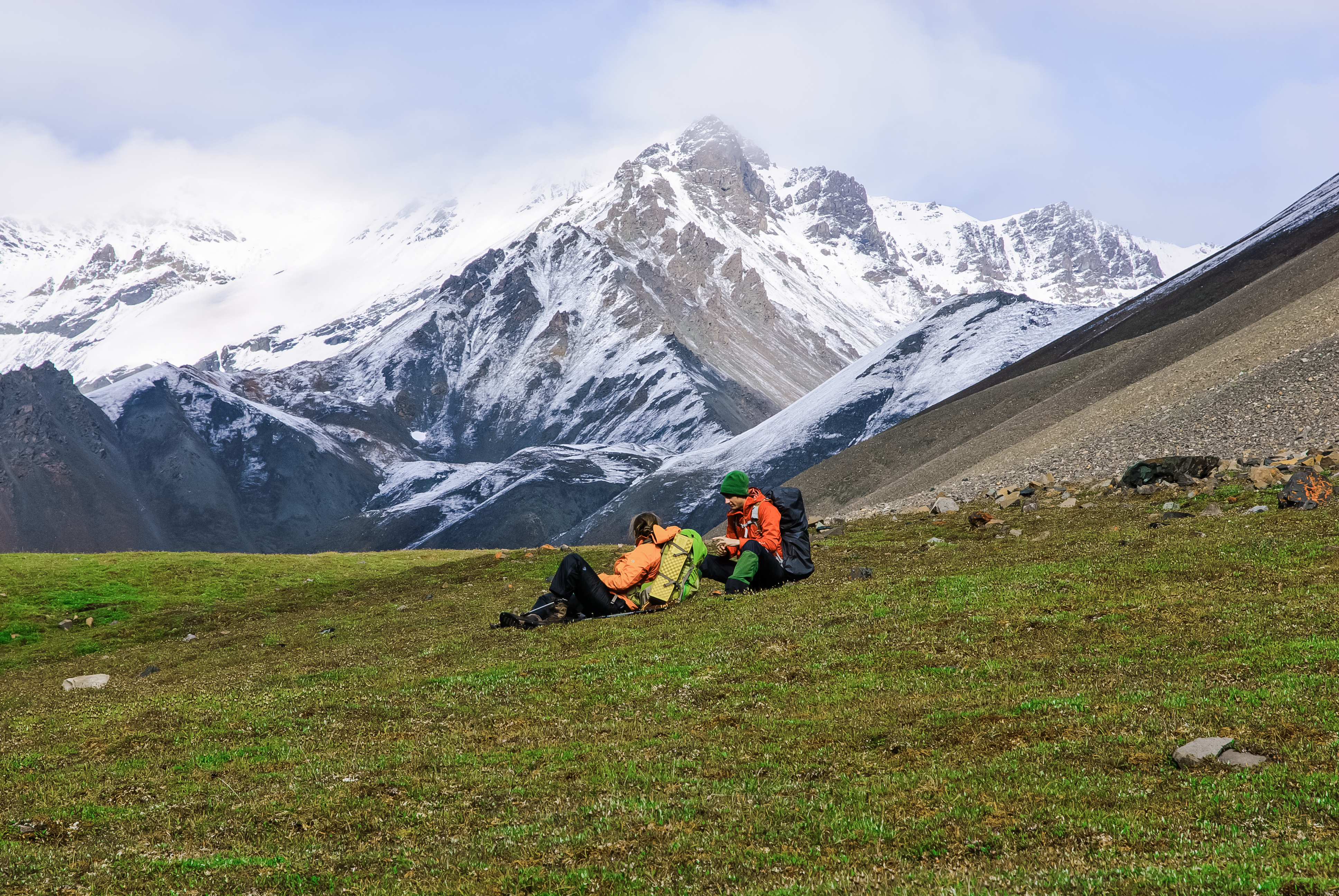
- Backcountry hiking and camping across one of North America's largest roadless wilderness areas
- Fly fishing and freshwater fishing on wild river systems throughout the park
- Multi-day paddling and canoe or kayak camping on remote river corridors
- Winter snowmobiling and snowshoeing into terrain inaccessible by any other means
Good to know
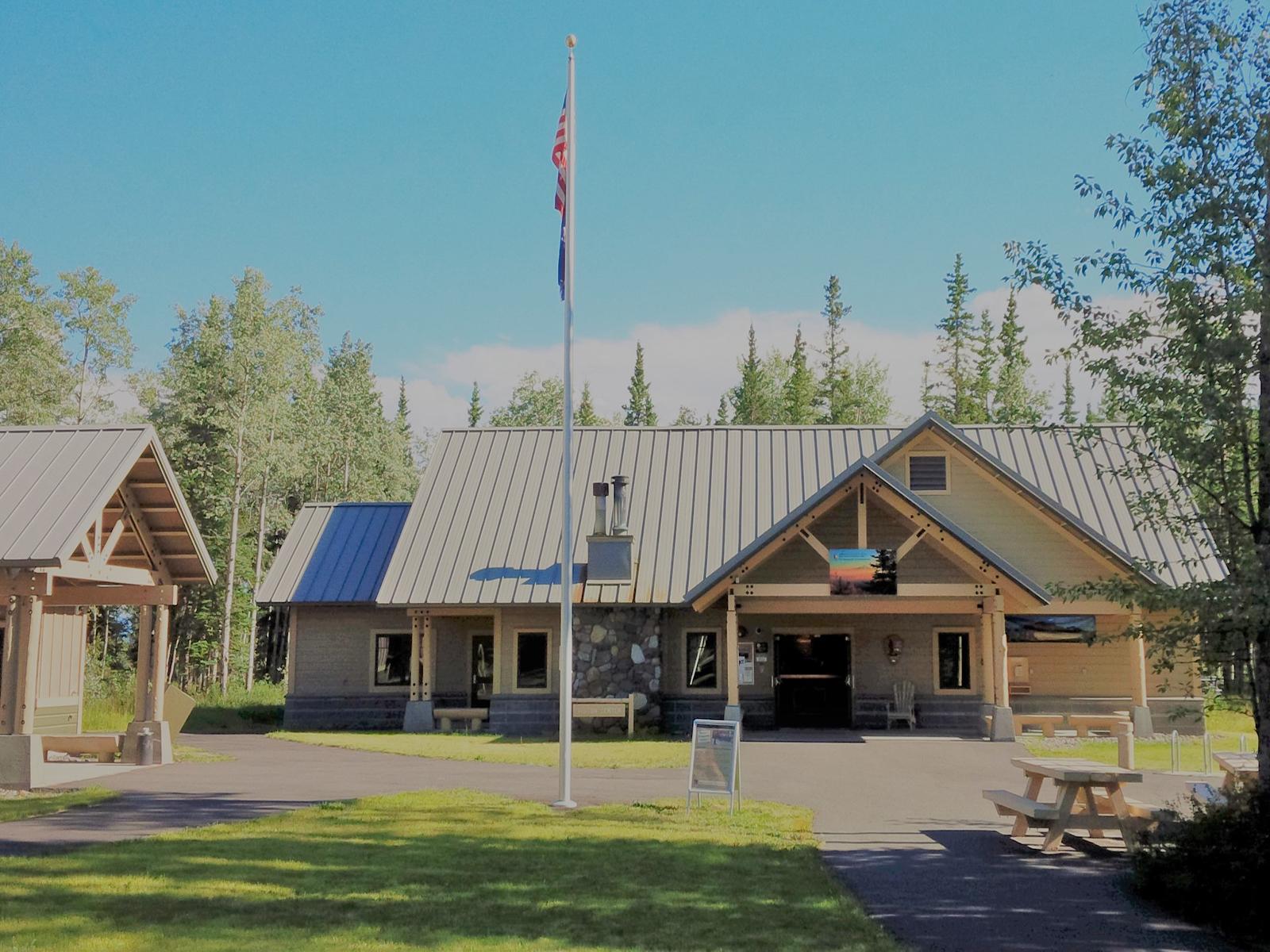
Access to this park unit is free, but visitor expectations should be calibrated accordingly. The two primary interior access roads are unpaved, demanding high-clearance vehicles. Seasonal visitor centers at Copper Center, Slana, Chitina, and Kennecott operate on limited schedules; confirm hours before travel. Backcountry exploration requires complete self-sufficiency. Cell service is minimal across the entire area.
Insider tipA single day at this park calls for a flight-seeing tour from a gateway community. The scale of its glaciers and peaks is genuinely incomprehensible from the road. A one-hour flight will reframe any other park activities.