Should you visit South Yuba Recreation Area?
South Yuba Recreation Area is a multi-agency outdoor playground anchored by the South Yuba River canyon, sitting about 10 miles northeast of Nevada City in the Sierra Nevada foothills of California.
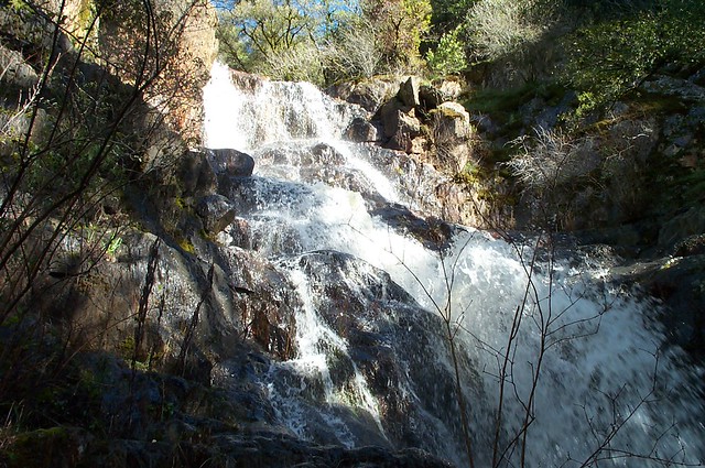
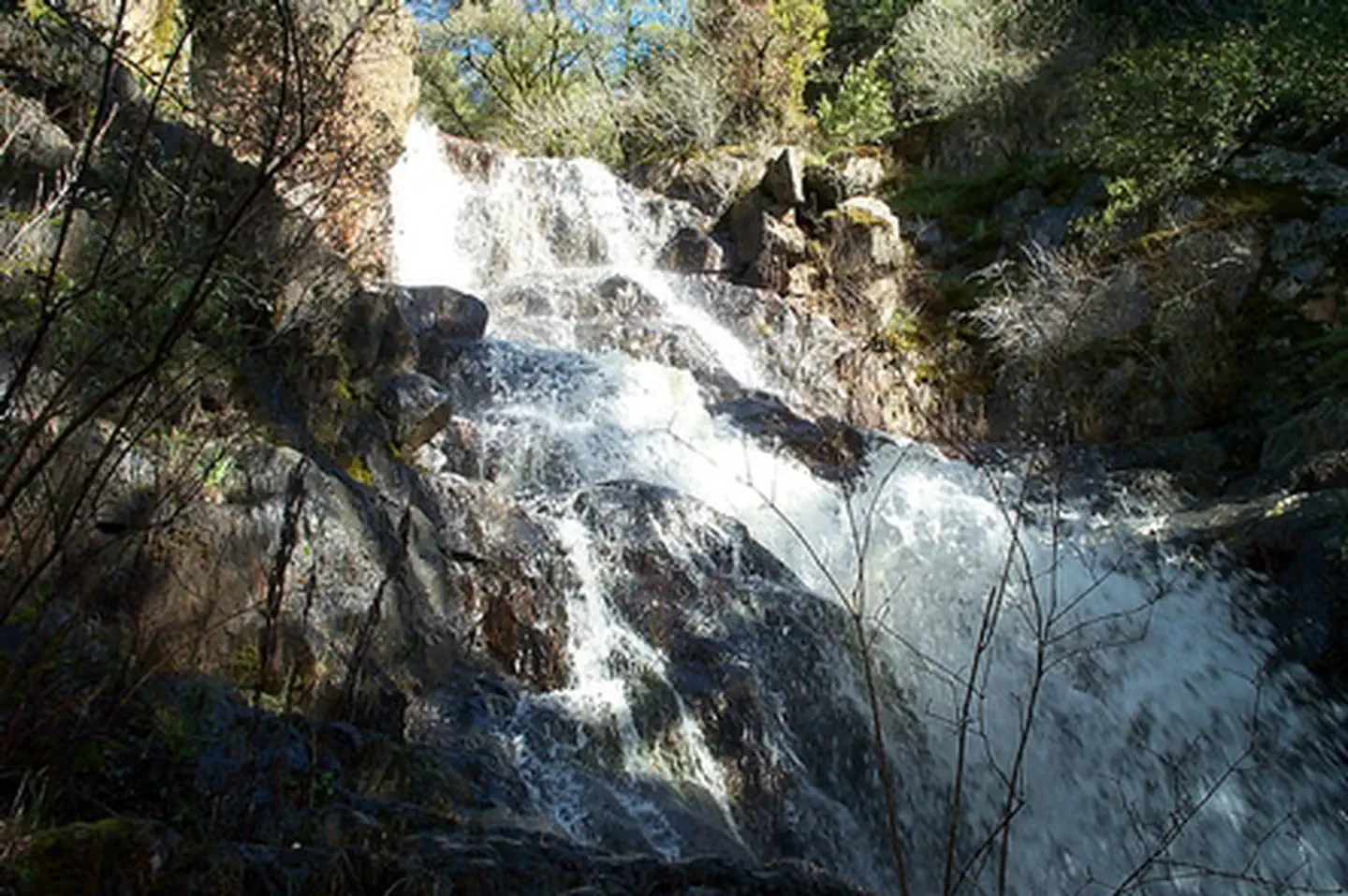
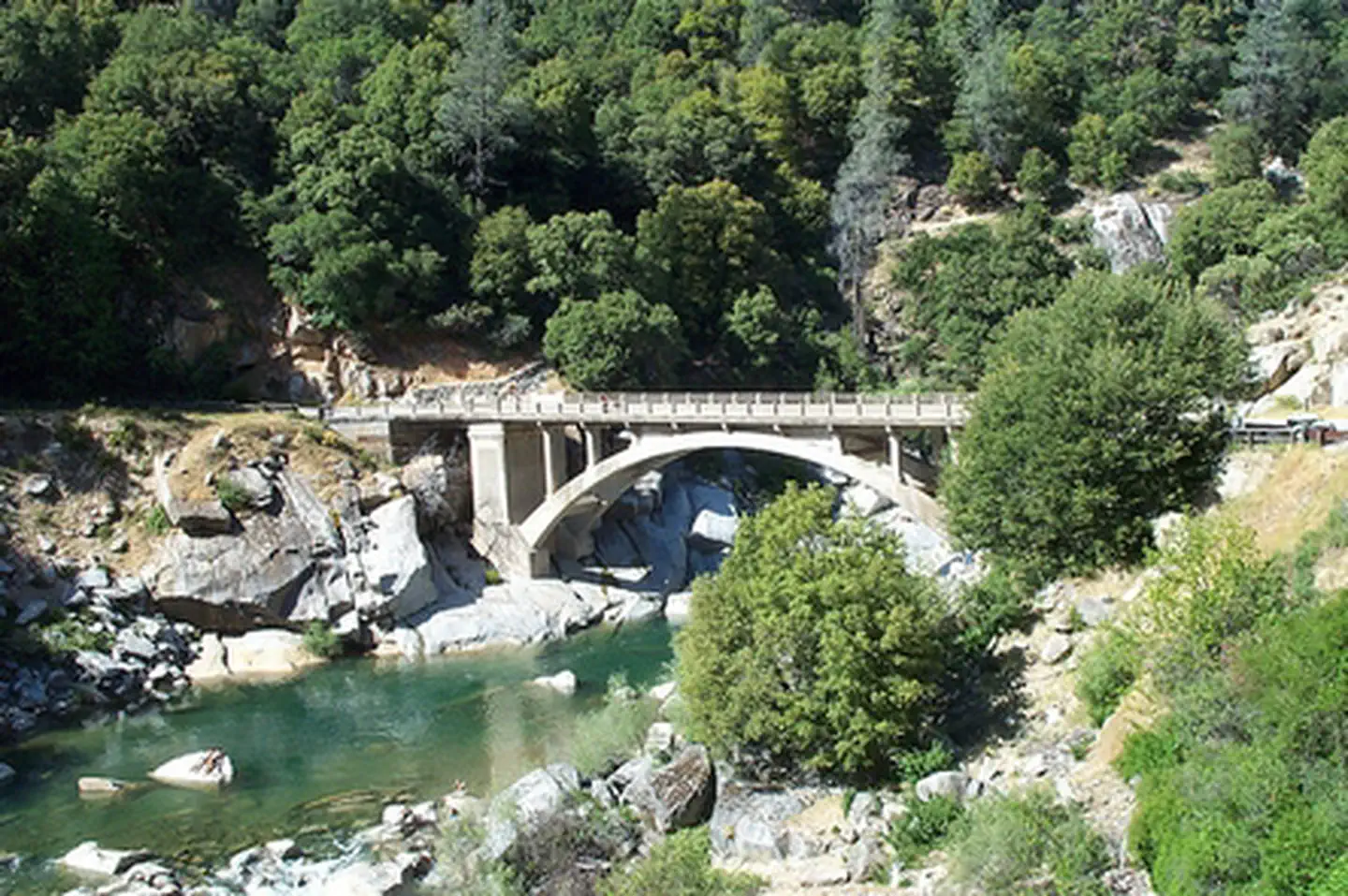
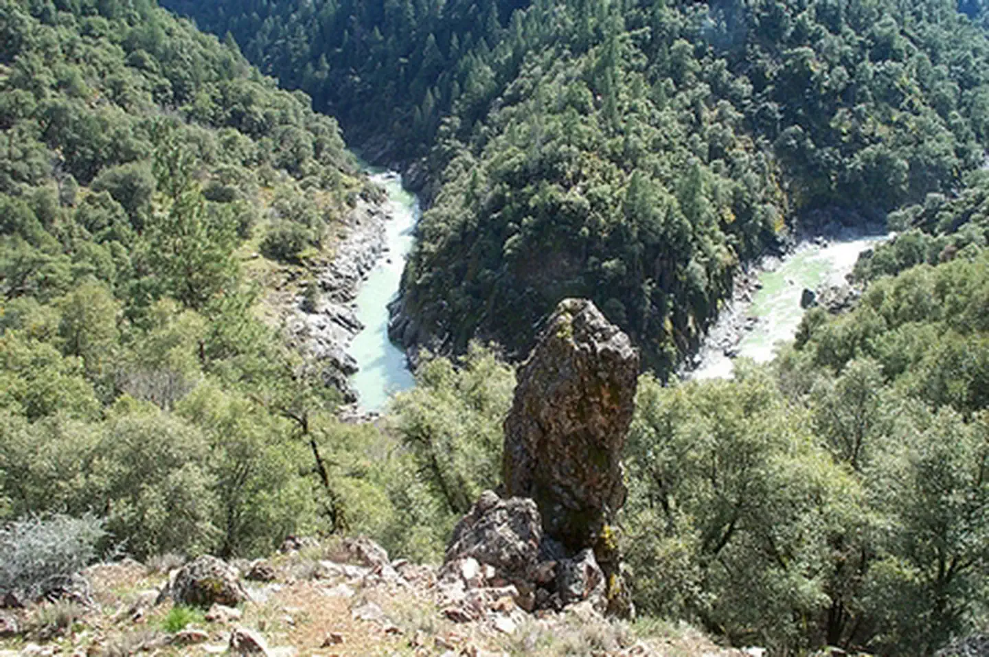
The centerpiece is a 15-mile non-motorized trail open to hikers, mountain bikers, trail runners, and equestrians year-round. The river itself is the draw in summer, offering swimming holes that are genuinely accessible and photographically spectacular in the granite canyon setting. With camping, fishing, wildlife viewing, and wilderness character all documented here, this is a legitimately well-rounded recreation area rather than a single-note stop. It scores an 80 on our experience scale because the activity breadth is real and the access is solid. It is not a marquee NPS unit with a visitor center and ranger talks, but for active outdoor visitors in the Gold Country region, it delivers a full day or a rewarding overnight without the Yosemite crowds.
What makes it worth it
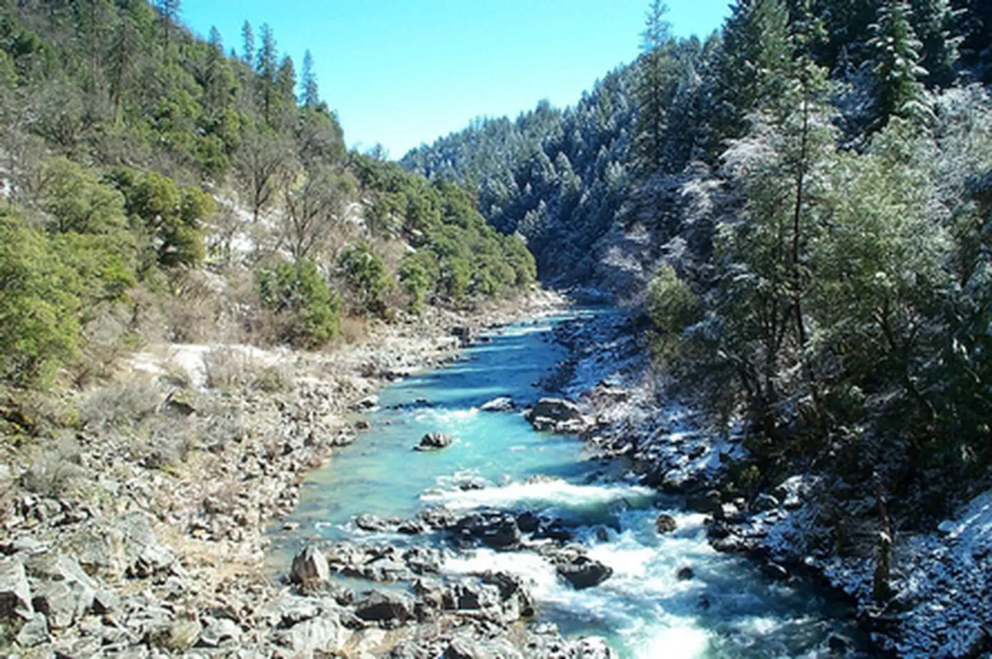
This unit's appeal centers on the South Yuba River. A 15-mile canyon corridor provides opportunities for hiking and mountain biking. Anglers will find trout; wildlife watchers can survey the riparian and foothill ecosystems. The granite gorge offers strong photographic subjects, particularly in morning light or autumn. For overnight stays, South Yuba Campground provides 16 tent sites and limited RV/small trailer spots. Equestrian access is available. This compact area, with its combination of river, trails, and camping, presents a functional Sierra foothills weekend.
Who should go
This unit best serves active outdoor enthusiasts. River swimming and trail-based exercise are readily available. Overnight stays in California's Gold Country foothills are a key draw. Mountain bikers will find a non-motorized, multi-use trail offering scenic rewards. Documented historical and cultural sites appeal to those interested in the past. Families seeking a straightforward beach and camping experience near Nevada City will find it practical. However, those expecting a traditional National Park Service visitor center or a singular iconic landmark will be disappointed. The scale here is diffuse.
When to go
The South Yuba River offers seasonal variations dictating visitor experience. Late spring and early summer provide peak river flow, which enhances the canyon's verdant appearance. However, high water conditions during this period can restrict swimming access. Mid-summer is optimal for aquatic recreation; lower flows and warmer water make swimming holes more accessible. Fall is best for hikers, with cooler temperatures and canyon foliage providing scenic appeal. Overnight camping is limited to warmer months, as the South Yuba Campground closes October 15. Winter and early spring present challenges with high water and muddy trails.
Highlights
- 15 miles of non-motorized trail open to hikers, mountain bikers, and equestrians year-round
- Accessible river swimming in a granite Sierra foothill canyon
- 16-site campground accommodating tents and some small RVs and trailers
- Fishing opportunities along the South Yuba River corridor
- Historic and cultural sites documented within the recreation area
- Wildlife viewing in a riparian canyon setting with wilderness character
Plan ahead
This unit presents a complex access situation. Fees vary by agency, with portions managed by the BLM, U.S. Forest Service, and California State Parks. Prospective visitors must consult current BLM and California State Parks fee schedules; costs differ by entry point. Each agency also maintains distinct regulations, complicating permitted uses. The campground closes October 15 annually. For resupply, Nevada City is the primary option, located approximately 10 miles distant. This destination demands careful pre-planning due to its multi-jurisdictional nature.
Editor's tipThe trail's 15-mile length and non-motorized designation require planning. Consider a shuttle, or an out-and-back with a mid-point swim. Early access points give way to more rewarding swimming holes deeper along the route.