Should you visit Route 66 Historic Back Country Byway?
This 42-mile section of historic Route 66 in northwestern Arizona presents a unique proposition.
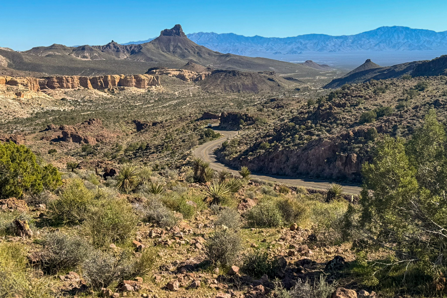
Operated as a backcountry byway, it offers a tangible journey through American highway history rather than a traditional park experience. Its status as one of the best-preserved, drivable segments of the original alignment is a significant draw. The route is free and open, traversing desert landscapes, ascending Sitgreaves Pass, and leading to the ghost town of Oatman. A score of 72 reflects solid access and genuine camping options. This is a road for driving, for stopping at will, and for embracing a slower pace. Casual sightseers should look elsewhere. For dedicated Route 66 enthusiasts, road trippers, and those seeking dispersed camping in the Mojave Desert corridor, this byway delivers an experience modern interstates cannot replicate.
What makes it worth it
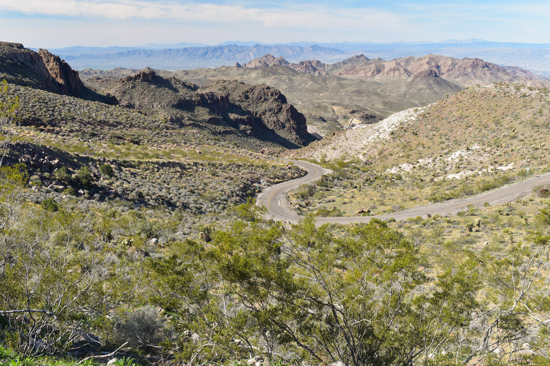
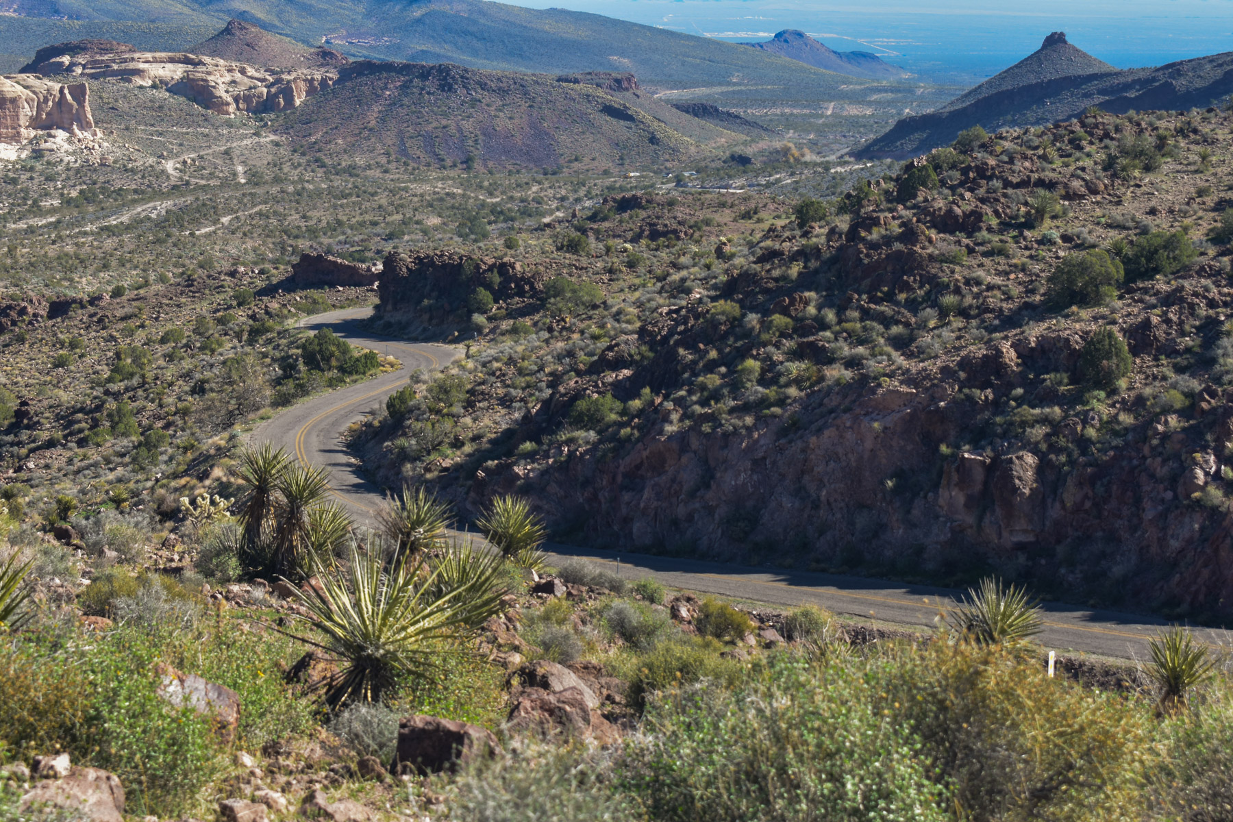
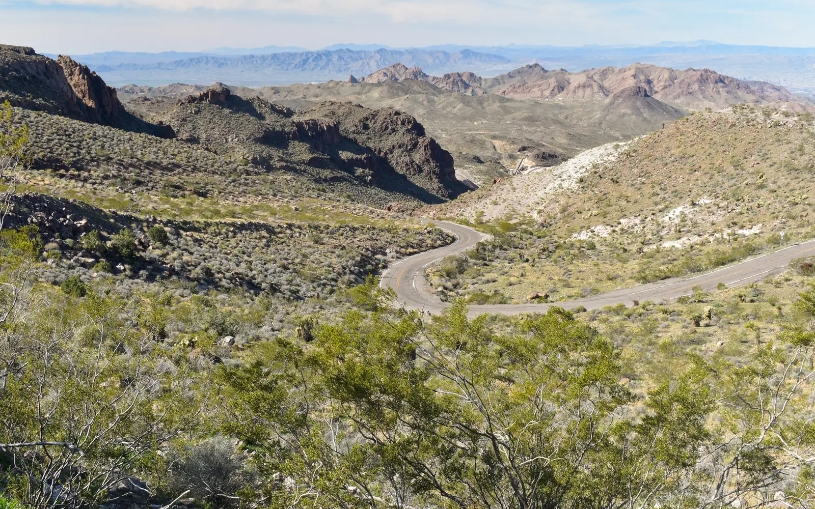
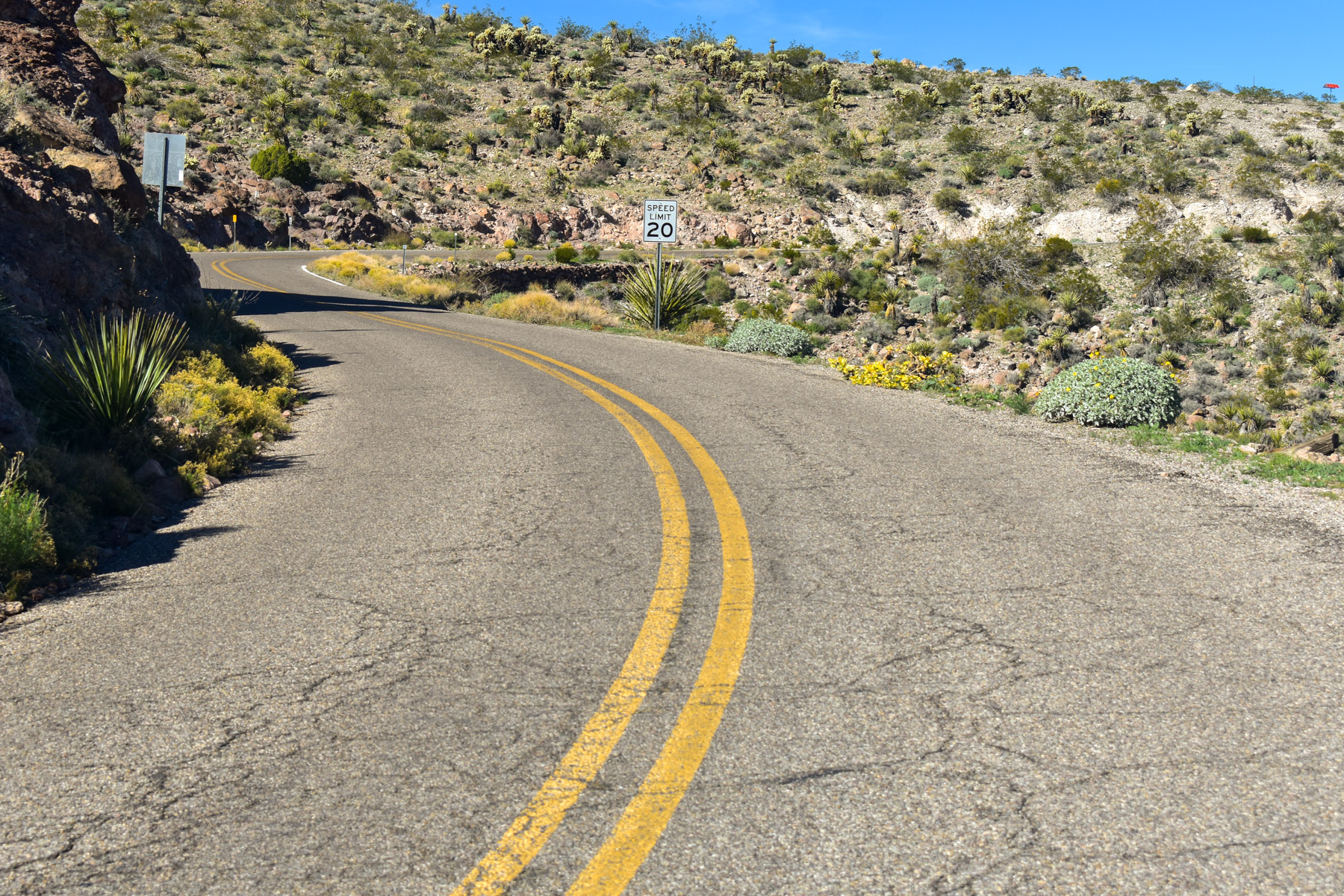
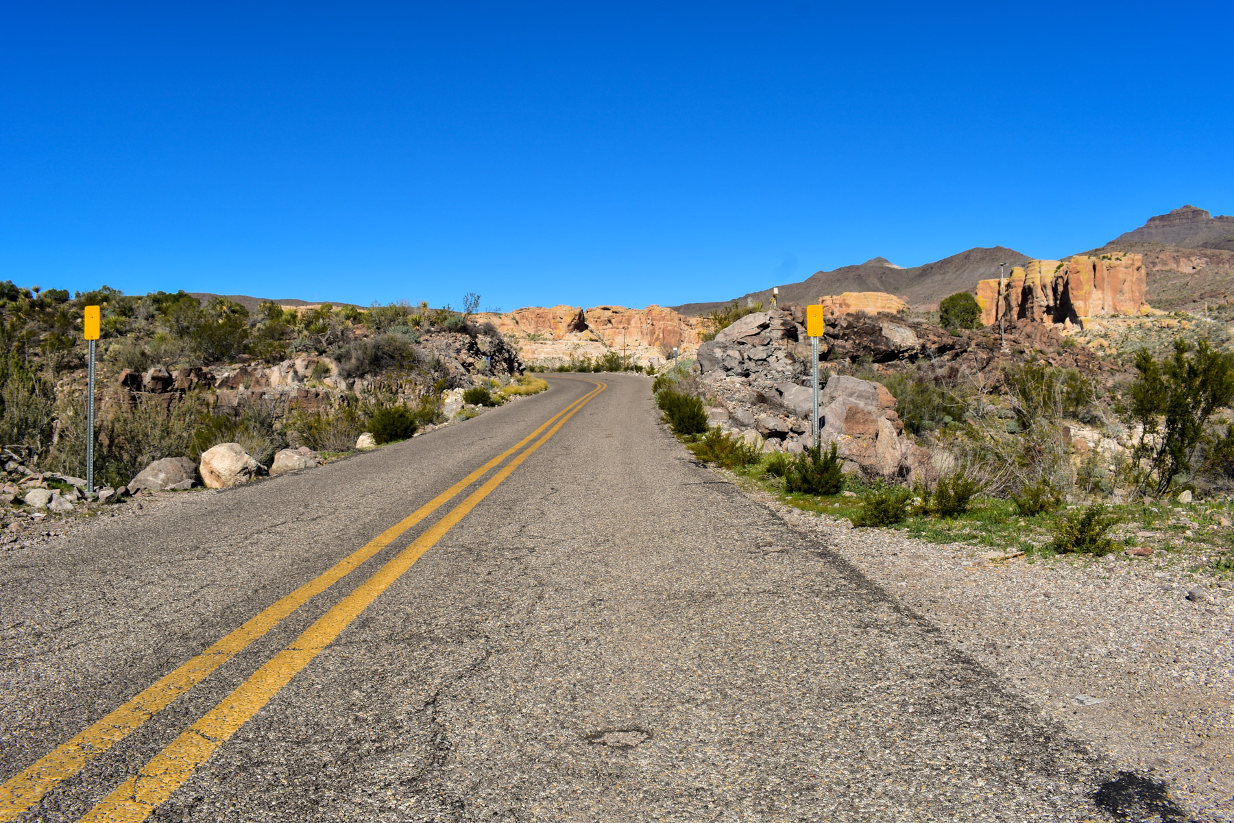
The Sitgreaves Pass restriction, signaling a challenge for vehicles over 40 feet, immediately establishes this byway's character. Expect narrow, winding two-lane driving, a marked contrast to modern interstates. The route delivers a concrete destination in Oatman, a genuine ghost town. Its documented history and feral burros offer a unique draw. Dispersed camping is available on BLM-administered stretches, allowing for quiet desert mornings before day-tripper arrivals. Leashed dogs are welcome, making this a viable option for pet owners.
Who should go
Route 66 devotees and history buffs will find this unit especially rewarding. Travelers seeking dispersed, free overnight camping with a historical context are well-suited. This is a destination for road-trip-focused visitors. However, those desiring structured hiking trails or visitor center amenities should look elsewhere. A hard restriction exists for vehicles or vehicle combinations exceeding 40 feet, making it unsuitable for large RVs.
When to go
This Arizona locale offers comfortable driving and camping in spring and fall, when desert temperatures prove most manageable. Summer heat near Oatman pushes well above 100 degrees Fahrenheit; it is intense. Winter brings generally mild conditions, but Sitgreaves Pass experiences cold overnight temperatures. Oatman's feral burros remain a consistent, year-round attraction.
Highlights
- One of the last fully intact and drivable segments of the original Route 66 alignment
- Sitgreaves Pass, a narrow mountain crossing that filters out large vehicles and preserves the road's original character
- Oatman ghost town as a concrete historical destination at the end of the descent
- Free dispersed camping along the corridor for overnight road trippers
- Dogs on leash are welcome, making it accessible for pet-traveling households
- The byway passes through wilderness, valleys, and small-town main streets within a single 42-mile stretch
Plan ahead
This unit offers free access, an undeniable advantage. However, vehicle restrictions present a notable limitation: combinations over 40 feet cannot traverse Sitgreaves Pass between Golden Valley and Oatman, a restriction clearly signed in Golden Valley. The road, a two-lane paved blacktop, accommodates most standard vehicles, though wider rigs must proceed with caution. The absence of dedicated campground infrastructure necessitates self-sufficiency for water and waste. Dispersed camping is the only option here. This unit caters to the prepared, independent traveler.
Editor's tipApproaching Sitgreaves Pass from Golden Valley to the west offers the most compelling experience. This route provides ascending views, building anticipation. It culminates in a dramatic arrival in Oatman from above, a sequence more rewarding than descending into the ghost town.