parkverdict
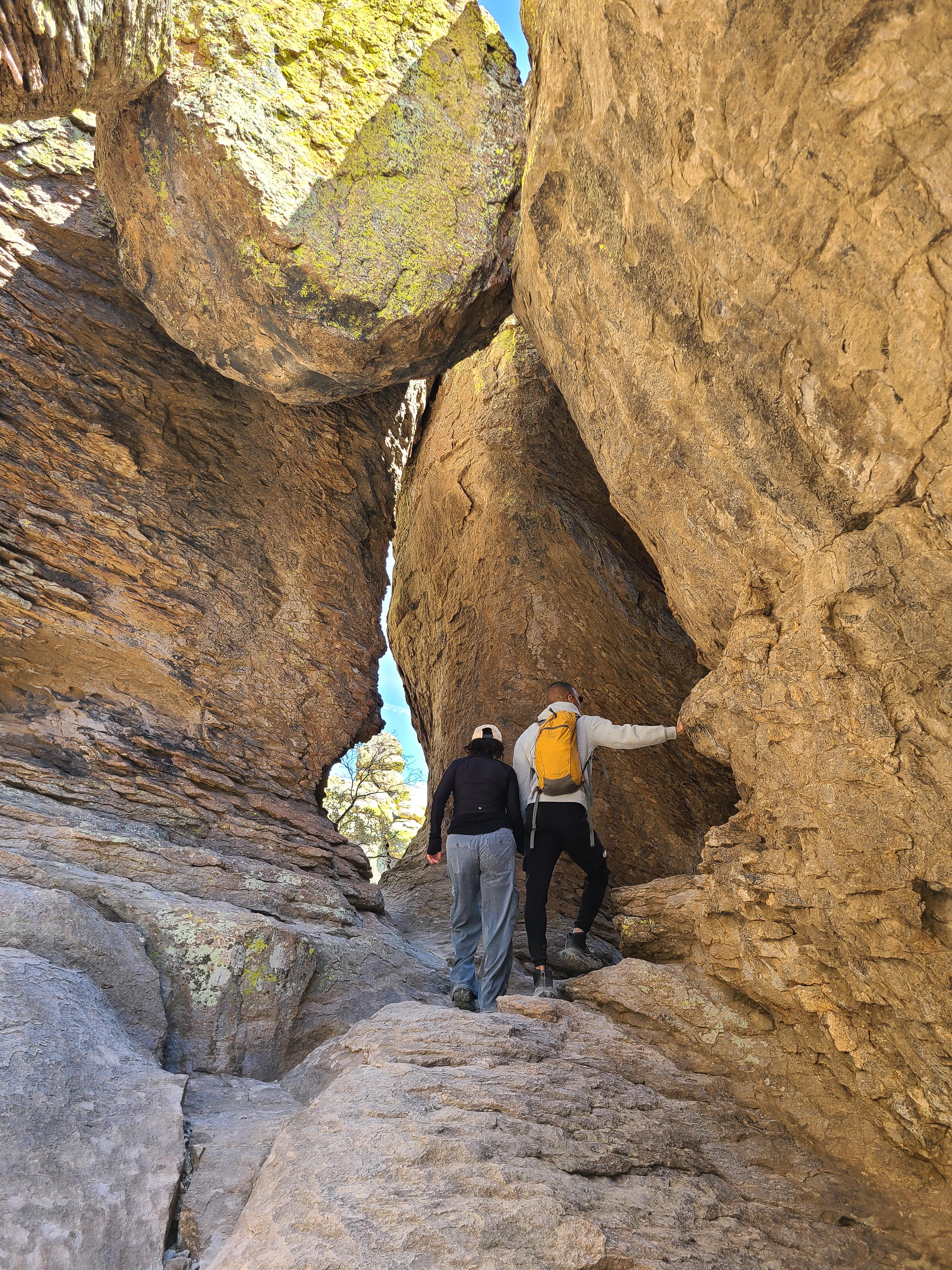
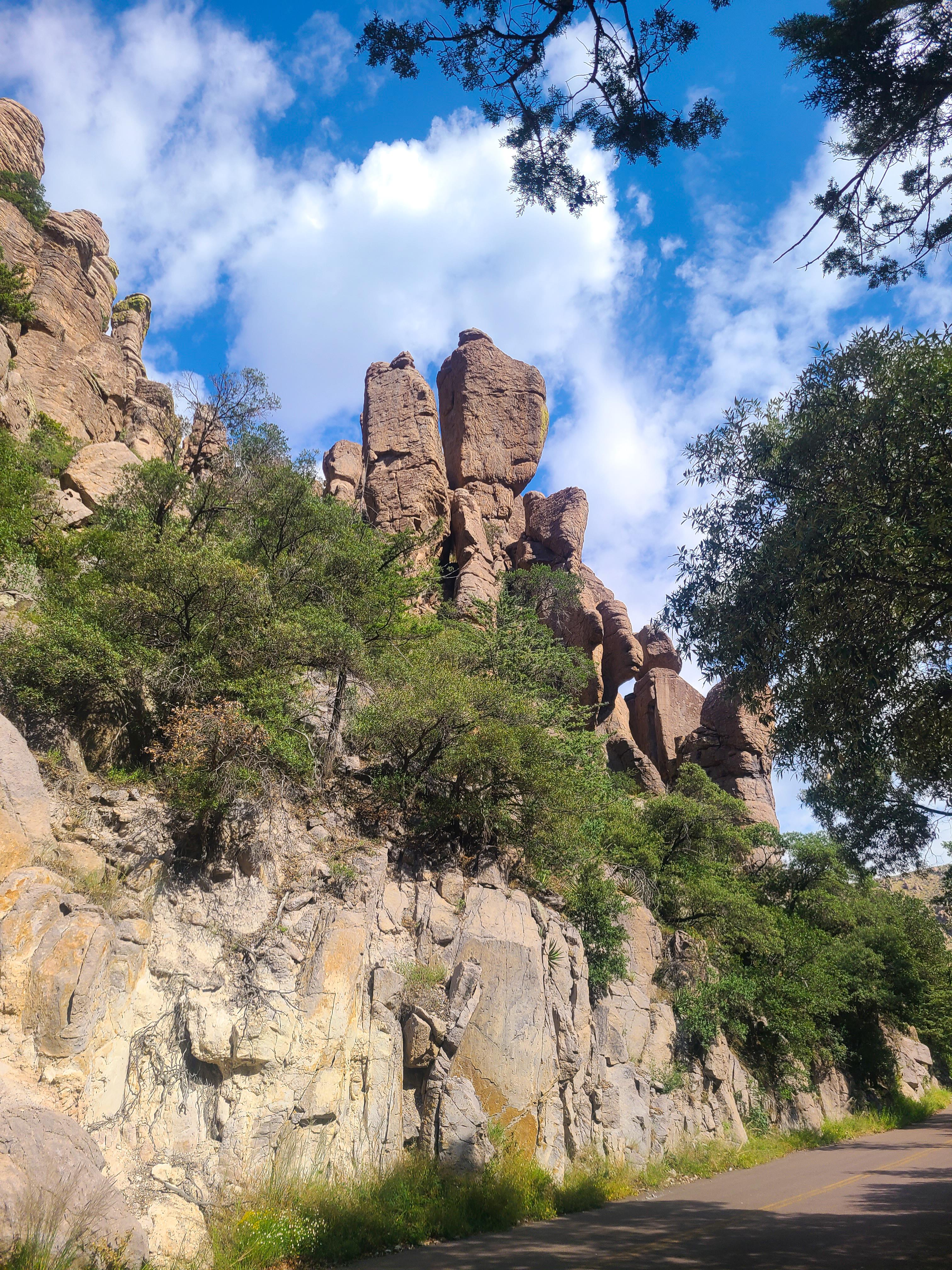
Many rock pinnacles with a valley and mountain range in backgroundA ranch house in a green field surrounds by low mountainsPeople climb through rock archwaysA narrow road winds between tall oaks and rock cliffs
National MonumentAZ

Chiricahua National Monument

NPS / NPS Photo
90/ 100DOES IT ALL
parkverdict Experience ScoreIndependent, not sponsored

90 of 100. Our independent breadth-and-access index. How we score

Worth it?

Is Chiricahua National Monument worth it?

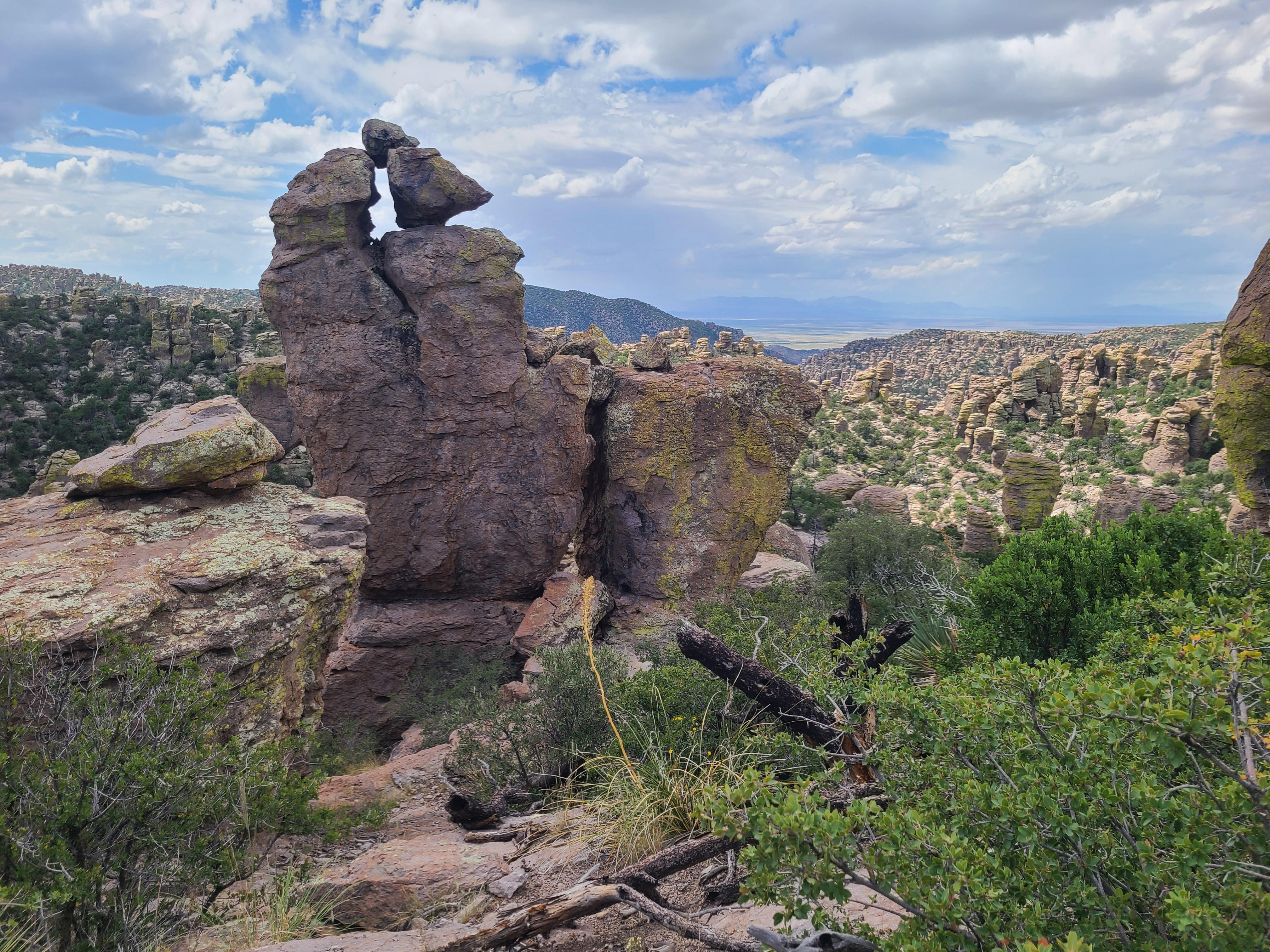
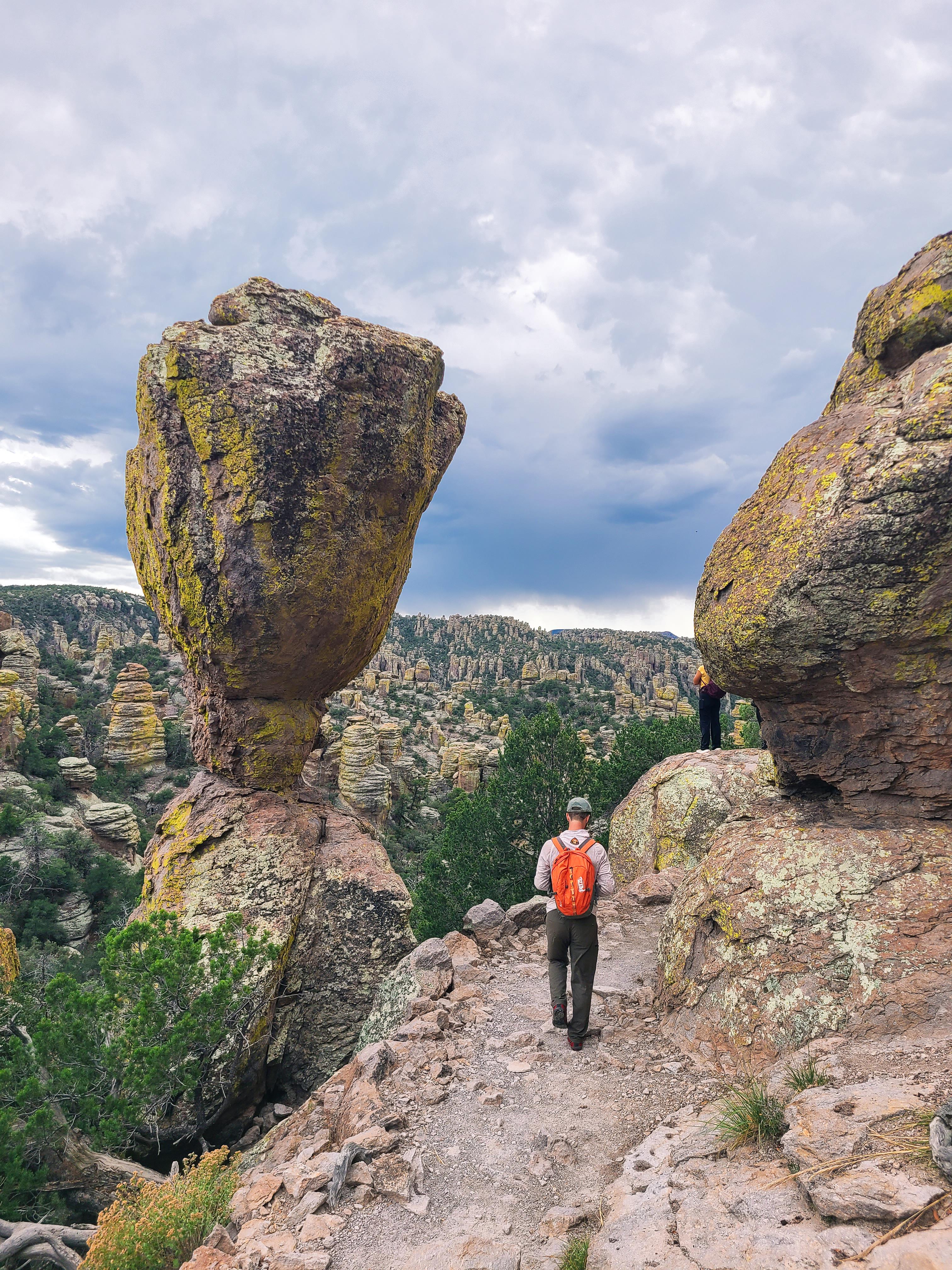
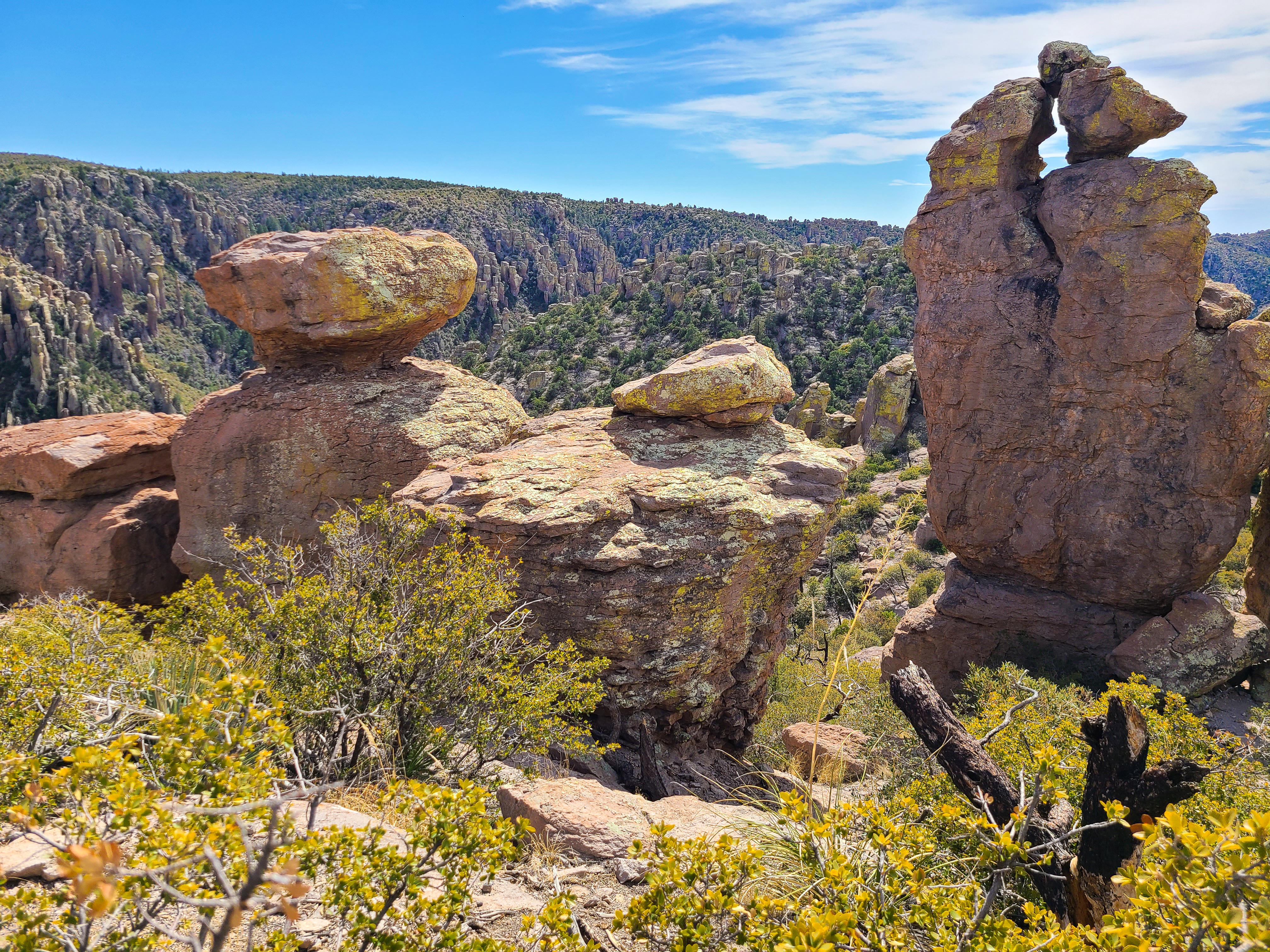
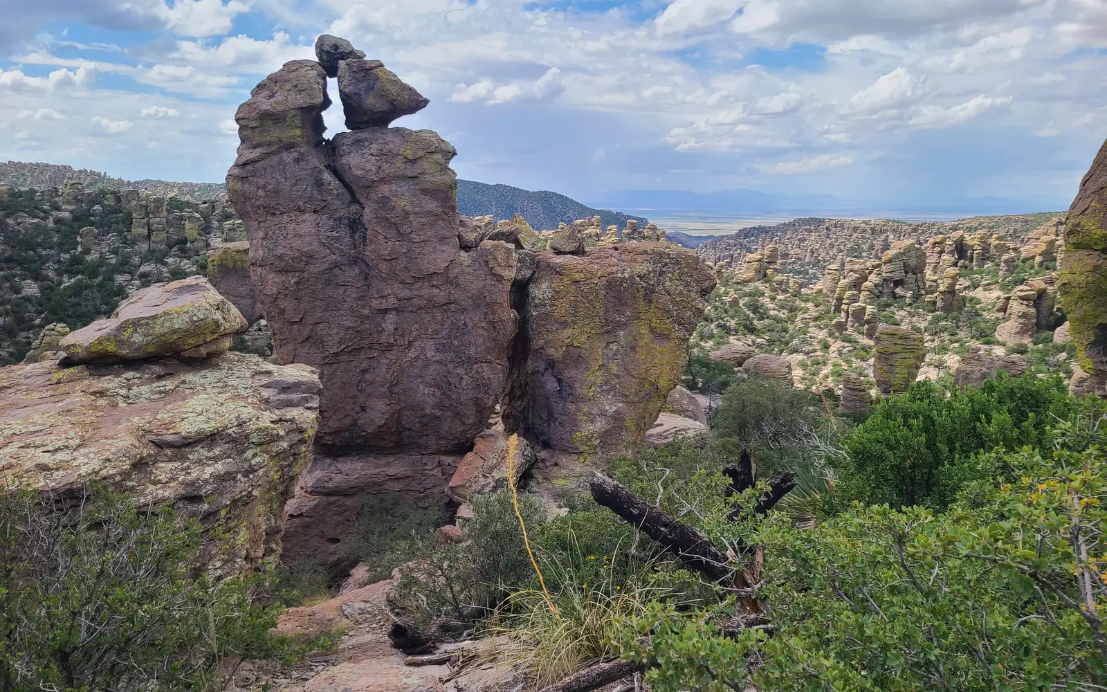
Chiricahua National Monument is one of southeastern Arizona's most underrated geological spectacles, a landscape of rhyolite pinnacles, balanced rocks, and towering stone columns that rewards both casual visitors and serious hikers.

The monument sits in a sky island range, a mountain mass rising between two desert basins, which creates an unusually rich wildlife and birding corridor. It scores a 90 on our Experience Score and costs nothing to enter, a combination of accessibility and real depth that is genuinely rare. The scenic drive alone fills a half-day, and the trail network, dark-sky camping, and birdwatching make a full overnight stay easy to justify. Crowds here are nothing like what you find at the marquee parks, which is a good part of the appeal. Make the drive out to the remote Sulphur Springs Valley and you will find a monument that far outpaces its reputation.

The case for it

Start the day by heading up toward the higher elevations, where the rock formations get progressively more dramatic as the road climbs toward Sugarloaf Mountain at just over 7,300 feet. The trail network there puts you right among the pinnacles, and between the elevation change and the sky island ecology, wildlife sightings, birds especially, tend to happen with real regularity rather than by chance. Evenings at the campground are worth the trip on their own: the monument sits inside one of Arizona's certified dark-sky zones, and the stargazing actually holds up, not just as something a brochure says but as something you notice the moment you step outside after dark. The museum handles the historical background well, covering everyone from prehistoric peoples to the Civilian Conservation Corps crews who built the infrastructure that is still standing today.

Who it is for

Chiricahua suits hikers, birders, dark-sky fans, and families with kids who light up around dramatic rock formations. The Junior Ranger program and picnic areas give younger visitors plenty to do. If you're already cutting through southeastern Arizona on a road trip, the free entrance makes it pretty hard to skip. If you need beach-style amenities, heavy visitor infrastructure, or a quick highway pulloff, the remote location will work against you more than it works for you.

Best time to visit

Spring and fall are your best bets for hiking here. Summer afternoons bring monsoon thunderstorms that leave higher trails slick and exposed, though mornings usually stay clear. The park runs from 5,100 to 7,300 feet, so summer temperatures stay far cooler than the surrounding desert. Upper elevations get snow and cold winds in winter. Whenever you visit, pack layers, because temperatures can swing 5 to 10 degrees between the entrance and the summit.

Worth seeing

  • Scenic drive through rhyolite pinnacle formations rising to over 7,300 feet elevation
  • Certified dark-sky stargazing from the campground with overnight access
  • Sky island birding corridor supporting unusually diverse wildlife for the region
  • Hiking among balanced rocks and stone columns accessible directly from the road
  • Museum exhibits covering Apache history, Buffalo Soldiers, and CCC construction legacy
  • Free entrance with campground access and overnight road availability

Before you visit

Admission is free, which puts this monument ahead of most comparable sites. The campground is open to overnight visitors, but sleeping in your vehicle or camping outside the designated areas is not allowed. The road stays open all night and closes only for emergencies. Cell service is unreliable throughout this part of Cochise County, so download offline maps before you head out.

Our tipThe temperature gap between the entrance station and the upper elevations can run 5 to 10 degrees, and the wind picks up noticeably as you gain elevation. The base is desert heat, full stop, but the sections near the rock formations turn on you fast, especially in the afternoon. Bring an actual jacket. Not a light layer, a jacket.

How we scored it

How Chiricahua National Monument earned its 90

Where does a 90 come from? One formula, run the same on every place we cover, built only from public data on what a unit offers and how reachable it is. It says nothing about how pretty a spot is or how busy it gets. This is what fed it:

  • Activity breadth16 documented activities
  • Topic breadth13 topics
  • Official imagery6 public-domain images
  • Camping on sitedocumented
  • Entry costfree

No number is hand-adjusted and no unit pays for placement. The full weights, the floor at 18 and a worked example are on how we score.

The honest limits

What the score cannot tell you

A quick honest note. The score tracks how much a place has going on and how easy it is to reach, both pulled from public records. What it cannot see is the stuff that often makes or breaks a day: whether the views stop you cold, how packed it gets in season, what the trails are like after rain, or whether you catch a great ranger talk. A small, single-focus site can land below a sprawling park here and still be the better call for your trip. Use the number to compare what places offer on paper, and the verdict up top to tell if it is your kind of place.

The basics

Chiricahua National Monument at a glance

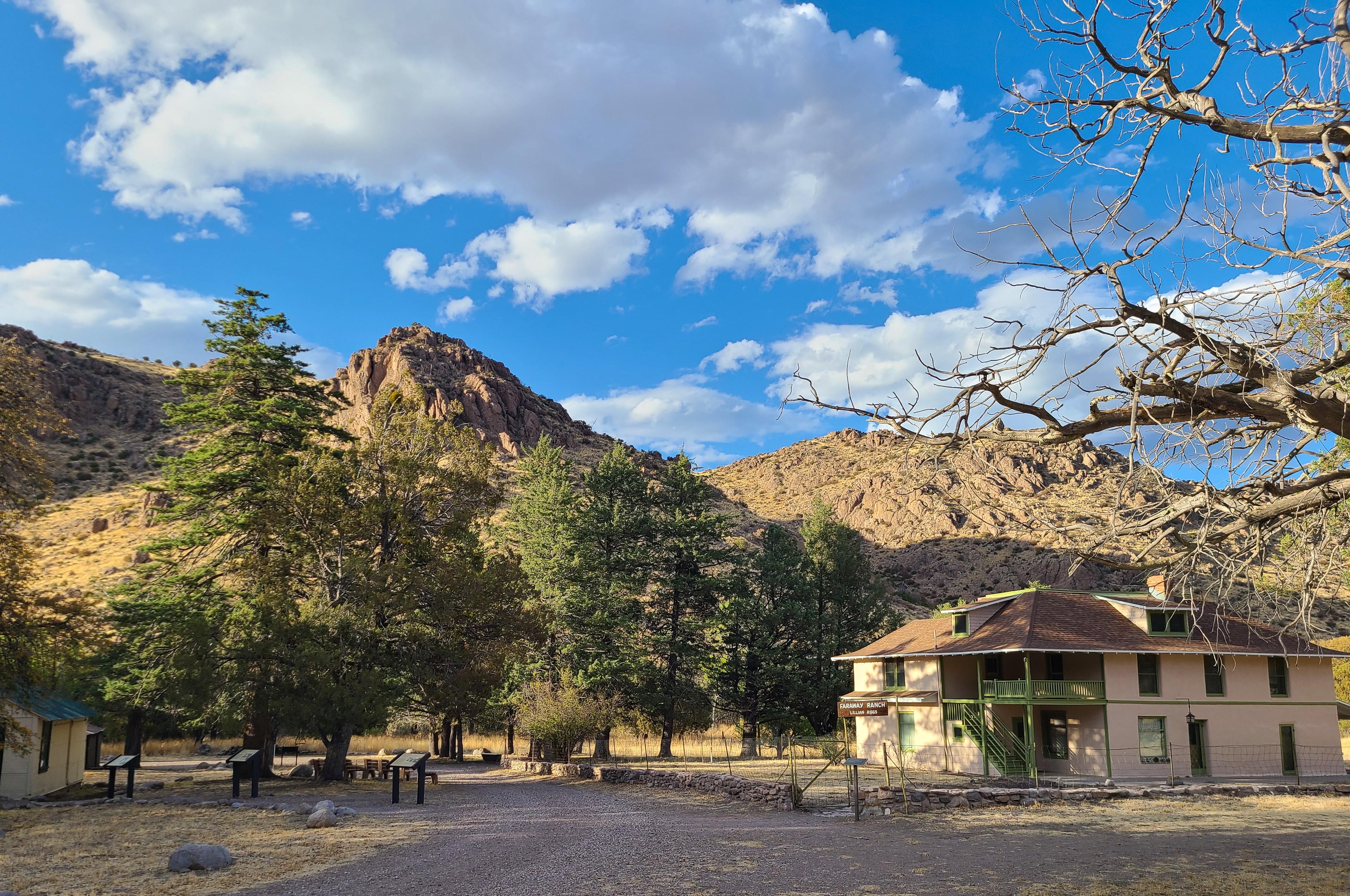
Rhyolite pinnacles and balanced rocks crowd the landscape whether you walk or drive through. Camp under skies dark enough to remind you what night actually looks like. The range sits between two deserts and supports a surprising variety of wildlife. Human history here runs deep: prehistoric peoples, Apaches, Buffalo Soldiers, the Civilian Conservation Corps, ranchers, and homesteaders all lived in Chiricahua.

On documented breadth and access, Chiricahua National Monument ranks 3rd of 29 park and public-land units we score in Arizona.

Weather and seasons

Park elevation ranges from 5,124 feet at the entrance up to 7,310 feet on Sugarloaf Mountain. The upper areas tend to run 5 to 10 degrees cooler and windier than the visitor center and entrance, and they also get more direct sun. Bring layers. Summers here are mild compared to most Arizona cities, with highs that typically land in the 80s and 90s.

On offer

Documented activities

Auto and ATVScenic DrivingAstronomyStargazingCampingFoodPicnickingHikingHorse TrekkingHorseback RidingJunior Ranger ProgramWildlife WatchingBirdwatchingMuseum ExhibitsShoppingBookstore and Park Store
Common questions

Chiricahua National Monument: quick answers

Is Chiricahua National Monument worth visiting?

Chiricahua National Monument is one of southeastern Arizona's most underrated geological spectacles, a landscape of rhyolite pinnacles, balanced rocks, and towering stone columns that rewards both casual visitors and serious hikers.

Is Chiricahua National Monument free to visit?

Yes, there is no entrance fee.

What is Chiricahua National Monument best for?

It leans hardest toward stargazing, hiking, camping, good with kids, going by the 16 activities it actually documents.

When is the best time to visit Chiricahua National Monument?

Spring and fall are your best bets for hiking here.

How is the Experience Score for Chiricahua National Monument calculated?

The 90 comes straight from public data on how much the place documents and how easy it is to reach, things like activities, topics, photos, camping and whether entry is free. It says nothing about scenery or how busy it gets.