589 units scored Refreshed on a schedule Independent, no sponsored rankings
Recreation AreaCA
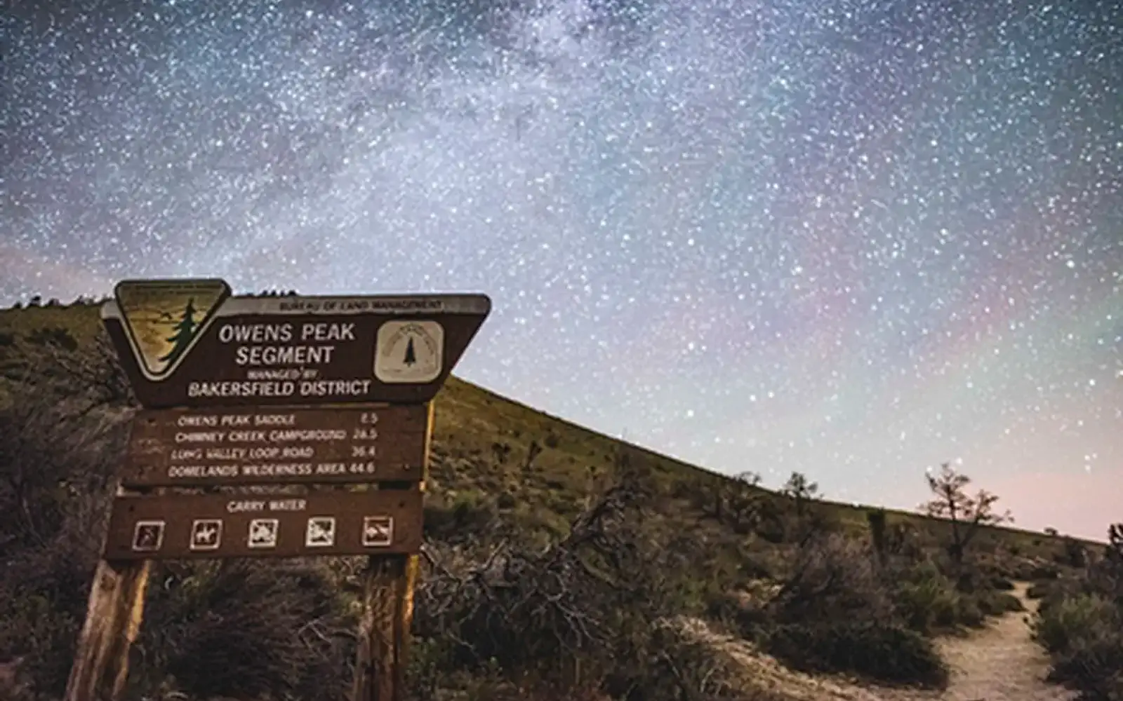
Pacific Crest- Owens Peak Segment
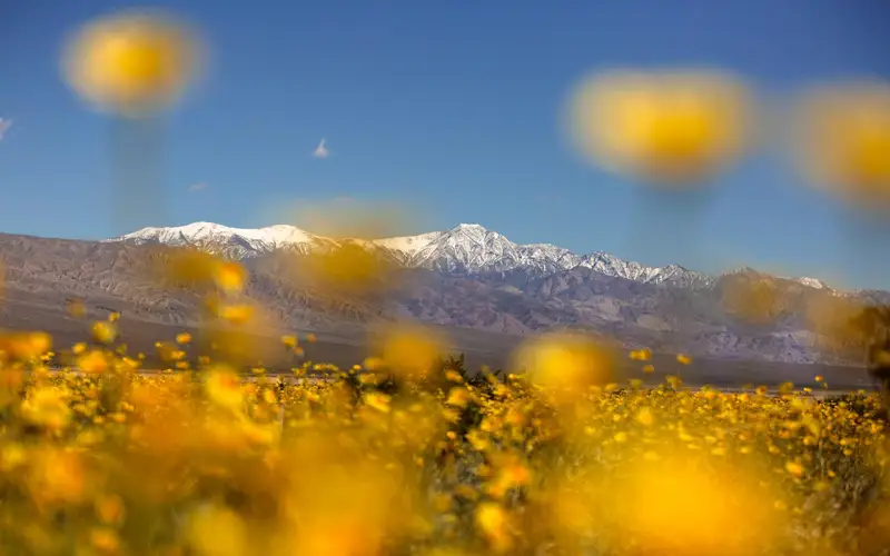
NPS / Kyle Sullivan/BLM
55/ 100GOOD RANGE
parkverdict Experience ScoreIndependent, not sponsored
55 of 100. Our independent breadth-and-access index. How we score
Our verdict
Should you visit Pacific Crest- Owens Peak Segment?
The Owens Peak segment of the Pacific Crest Trail offers a serious, stripped-down experience.
Entry is free; crowds and amenities are absent. This section suits hikers and equestrians seeking genuine desert-to-mountain transition terrain. Do not expect a visitor center. Its experience score of 55 reflects a narrow focus. This is a corridor, not a multifaceted destination. For a memorable slice of the PCT without a thru-hike commitment, this segment delivers.
Who should go
This unit caters to the self-sufficient. Its remote southern Sierra terrain is best suited for backpackers, PCT section hikers, and horseback riders. The documented lack of developed facilities means casual day-trippers or families may find it underwhelming.
Highlights
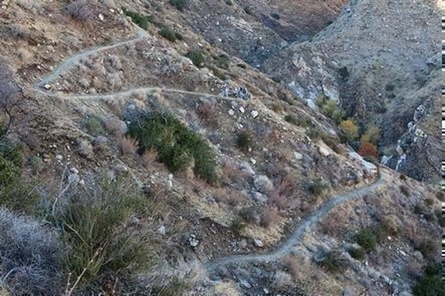
Hiking or riding a genuine PCT corridor through dramatic Owens Peak high desert and mountain terrain
Free dispersed camping along a storied long-distance trail with real solitude
Wildlife viewing in a quiet, lightly trafficked backcountry setting
Editor's tipWater is a critical concern here. Sources are scarce and seasonal; caching water is essential. Stock users must verify trail width and water availability for horses. The terrain is demanding.
How we scored it
Behind the 55
The number is not a mood. It is a few things we can actually check in public records, added up and capped so no single one runs away with the total. It tracks how much a place has going on and how easy it is to reach, and nothing about scenery or crowds. Here is what added up to 55:
Activity breadth5 documented activities
Topic breadth0 topics
Official imagery2 public-domain images
Camping on sitedocumented
Entry costfree
No number is hand-adjusted and no unit pays for placement. The full weights, the floor at 18 and a worked example are on how we score.
The honest limits
What the number leaves out
Worth saying plainly: this number only knows what the data shows, which is breadth and access. It has no idea whether the scenery is jaw-dropping, whether the lot is a zoo in July, what shape the trails are in, or how good the guided walks are. So do not read a lower score as a worse day out. A focused little site can beat a big all-rounder for the right person. Compare the numbers for what is on offer, then read the verdict for who each place actually suits.
Overview
About Pacific Crest- Owens Peak Segment
The Pacific Crest National Scenic Trail, or PCT, is a continuous hiking and equestrian route. It runs 2,600 miles from Canada to Mexico. The trail goes through 23 national forests, including wilderness areas, 7 national parks, other federal lands, and many state, local, tribal, and private properties. Congress established it under the National Trails System Act of 1968 as part of the national system of recreational and scenic trails.
Elevations along the trail vary greatly. The lowest point is 500 feet near Whitewater. The highest point is just below 13,200 feet near Mount Whitney in the Sierra Nevada. The trail is open only to nonmechanized use. Backpackers often travel this route.
In southern California, winter and spring are the best times to visit. Daytime temperatures typically stay below 80 degrees Fahrenheit then. Spring rains encourage wildflowers, and green accents appear on the oak-chaparral foothills.
Trailheads are accessible at several points. You can find them at the top of Walker Pass on State Highway 178, and at Bird Springs Pass off of designated route SC120 within the Jawbone-Butterbredt ACEC. Another trailhead is at Chimney Creek Campground on the eastern side of the Chimney Peak Wilderness.
The Owens Peak Segment starts at Walker Pass in Kern County. This section extends 41 miles north to the Sequoia National Forest at Rockhouse Basin, inside the Domelands Wilderness. Elevations in this segment range from 5,245 feet at Walker Pass to 7,900 feet.
On documented breadth and access, Pacific Crest- Owens Peak Segment ranks 35th of 45 park and public-land units we score in California.
Is Pacific Crest- Owens Peak Segment worth visiting?
The Owens Peak segment of the Pacific Crest Trail offers a serious, stripped-down experience.
Is Pacific Crest- Owens Peak Segment free to visit?
No charge at the gate.
What is Pacific Crest- Owens Peak Segment best for?
It leans hardest toward hiking, camping, wildlife watching, going by the 5 activities it actually documents.
How is the Experience Score for Pacific Crest- Owens Peak Segment calculated?
The 55 comes straight from public data on how much the place documents and how easy it is to reach, things like activities, topics, photos, camping and whether entry is free. It says nothing about scenery or how busy it gets.
Reviewed by Irene A. Taranina, founding editor/Checked against official public data/Published /Updated /Independent, no sponsored rankings
parkverdict is an independent digital publication. Not affiliated with the National Park Service.