Overmountain Victory National Historic Trail: our verdict
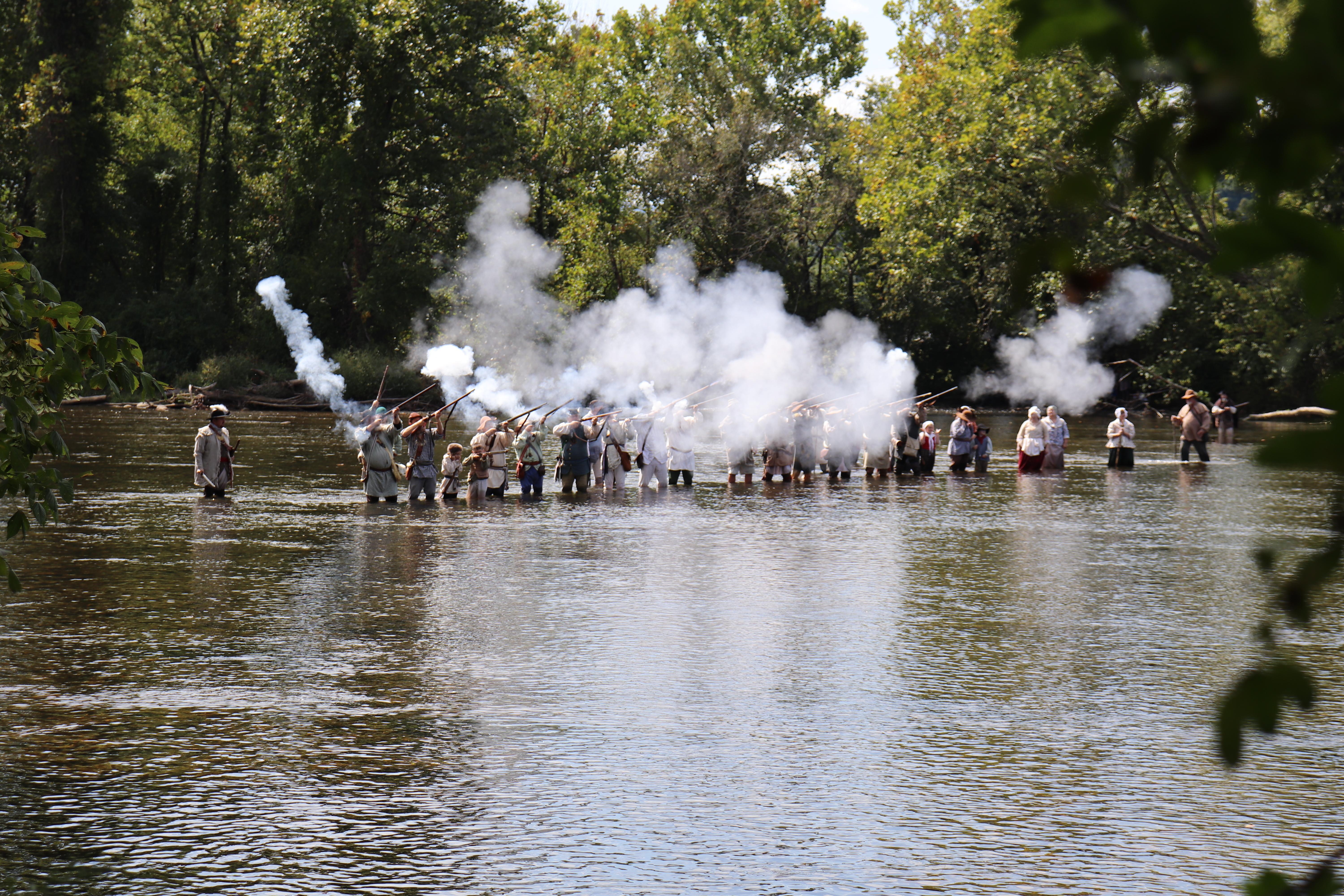
The Overmountain Victory National Historic Trail, a 330-mile corridor, traces the 1780 Patriot militia march through Virginia, Tennessee, North Carolina, and South Carolina.
This is not a conventional park unit. It commemorates a pivotal Revolutionary War event, the Battle of Kings Mountain, through a dispersed network of sites. The experience score of 80 reflects genuine breadth: a marked motor route on state highways, over 80 miles of walkable segments, and a network of museums and wayside exhibits. Active engagement is possible through hiking, horseback riding, biking, or driving. Guided tours are available at certain points. However, self-directed planning is essential. The trail rewards history enthusiasts prepared to connect these dispersed elements across four states. Casual day-trippers seeking a compact, single-destination park should look elsewhere.
Why visit
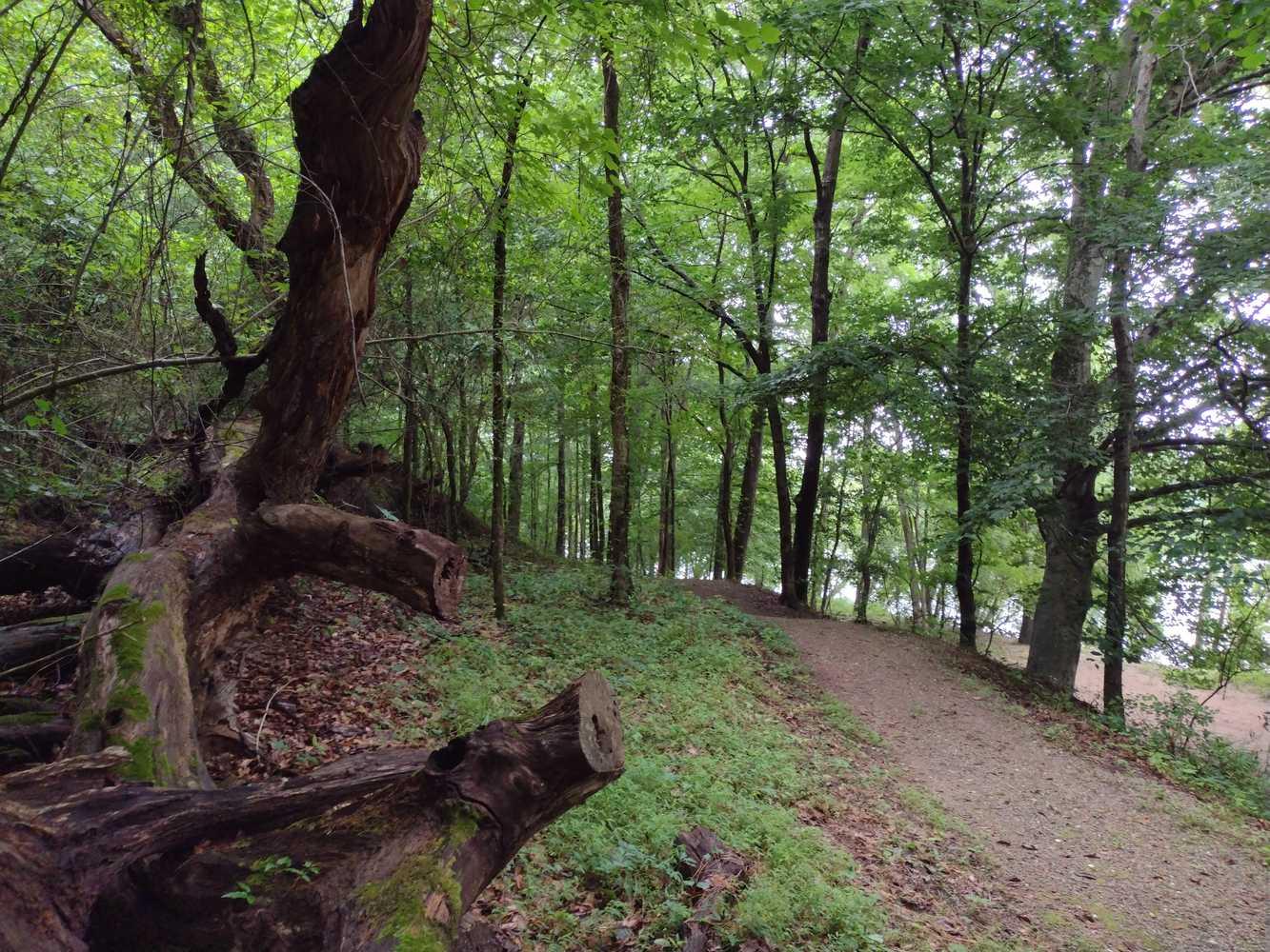
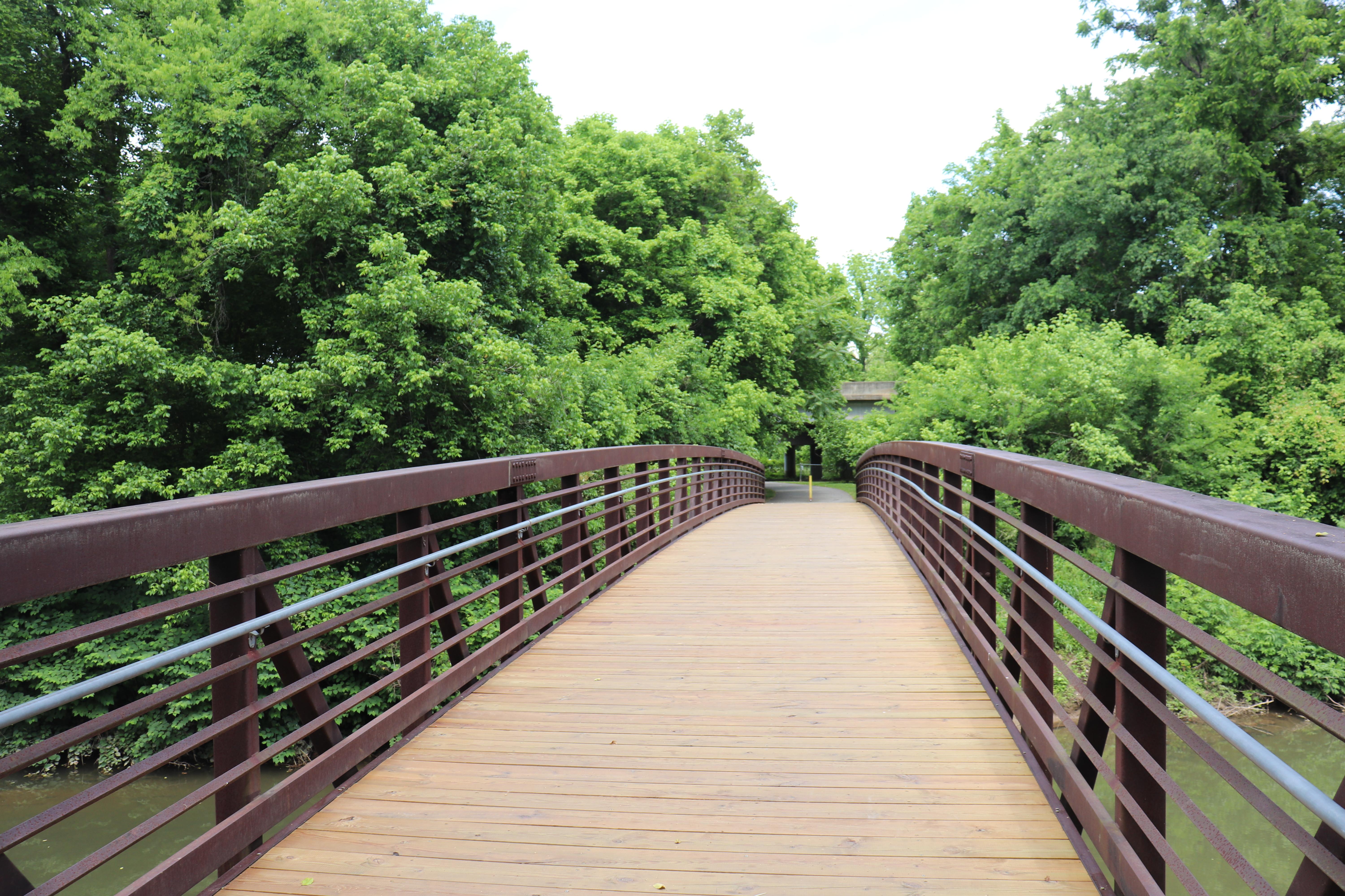
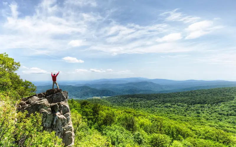
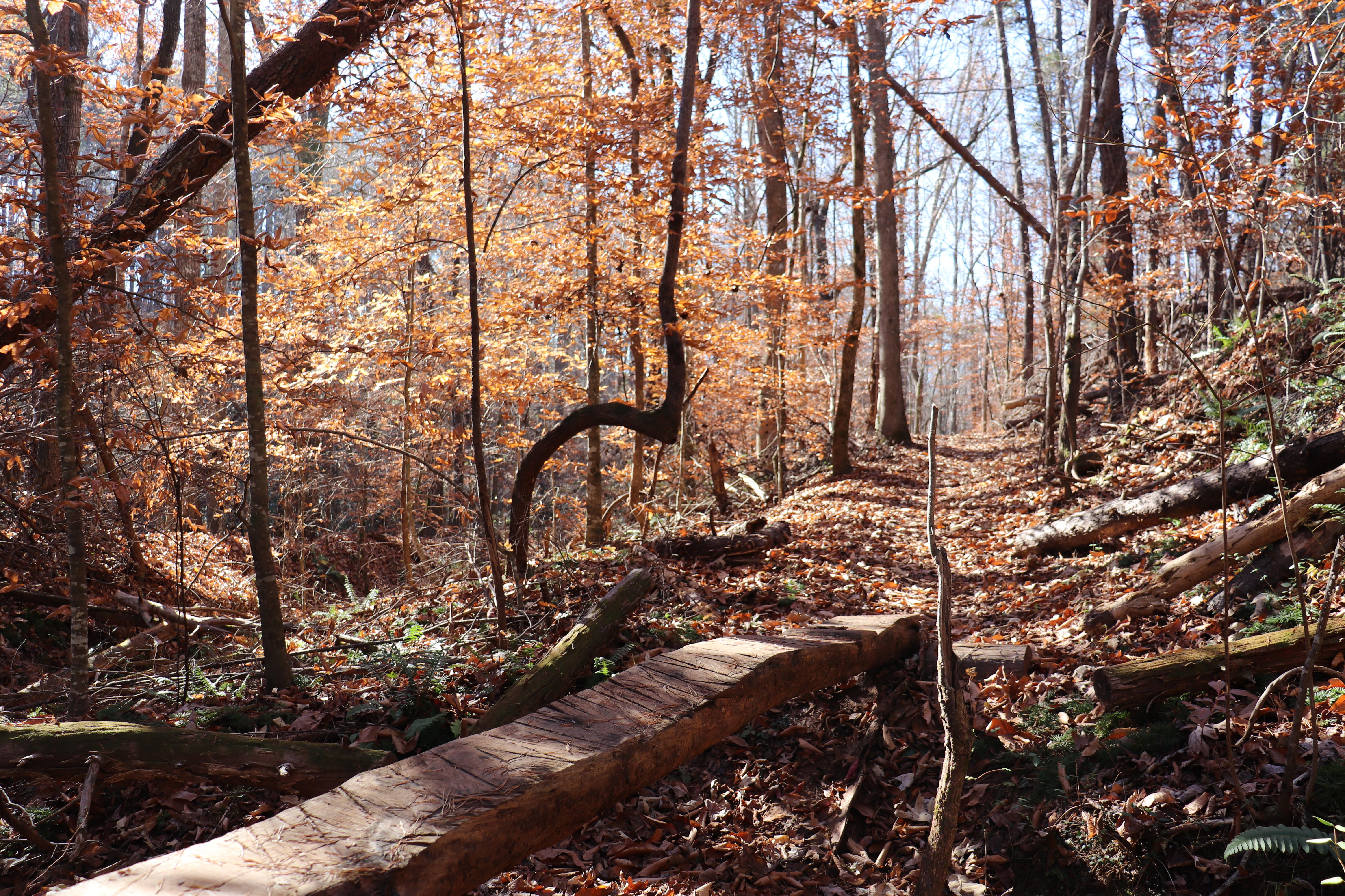
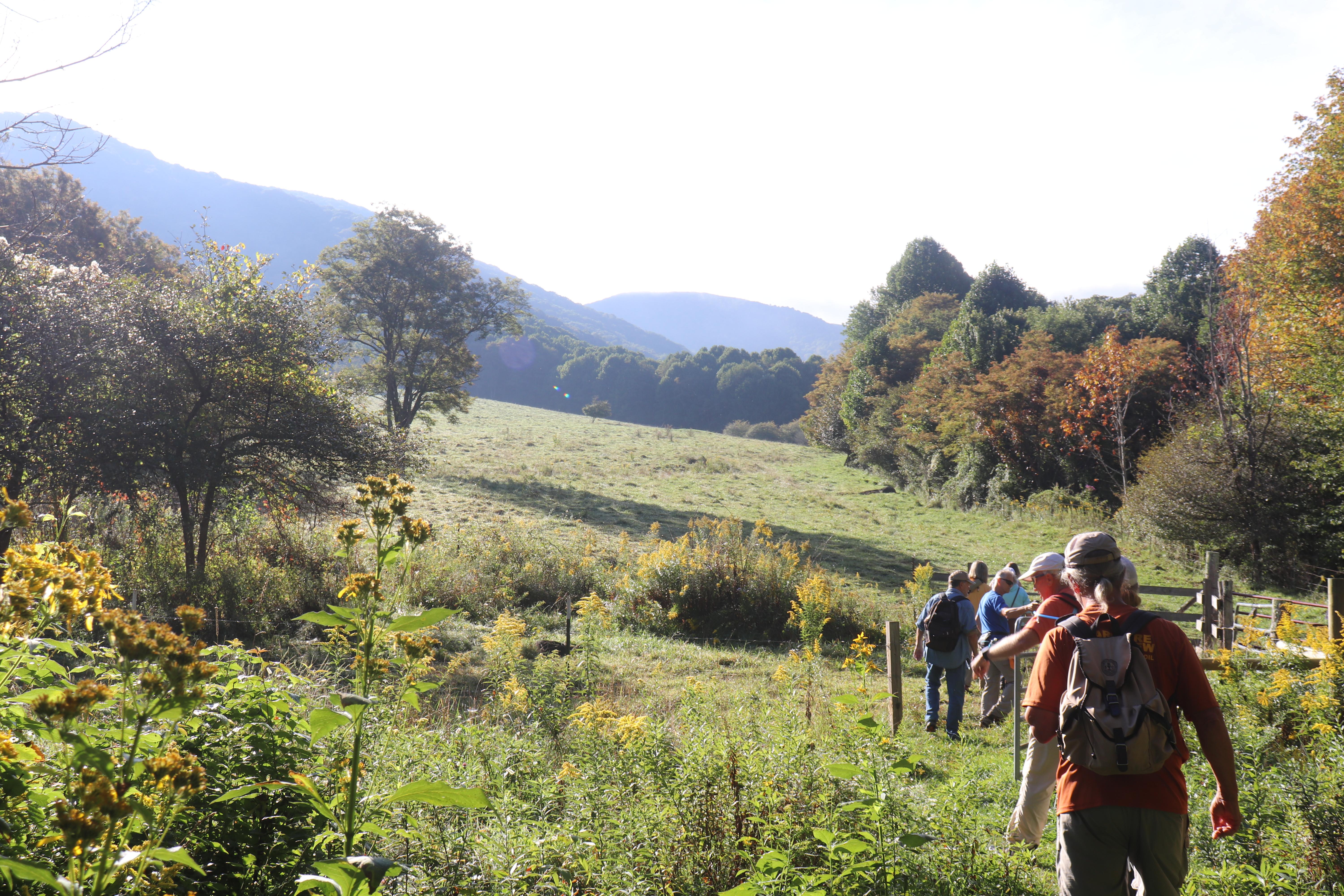
This historic trail offers a flexible experience tailored to diverse interests and modes of travel. Drivers can navigate the Commemorative Motor Route, accessing wayside exhibits and historic sites. Over 80 miles of trail accommodate hikers, mountain bikers, and horseback riders, making it a truly multi-use national park unit. The route crosses varied Appalachian and Piedmont landscapes, offering scenic value and opportunities for bird and wildlife observation. Families can engage with the Junior Ranger Program; affiliated museums and bookstores provide further historical context. The documented breadth of access ensures a meaningful visit for those seeking either a driving tour or an active outdoor experience.
Who it suits
This trail suits history enthusiasts tracking the Revolutionary War, especially those planning a Southeast road trip seeking a structured narrative. Hikers, cyclists, and equestrians will find a purpose-built historic context for their activity. Those seeking a concentrated, single-location experience should look elsewhere. Casual visitors with limited time will struggle to engage meaningfully without advance planning.
Timing your visit
This unit is a year-round destination, but visitor experience varies significantly by season. Spring and fall provide ideal conditions for hiking and biking, mitigating the intense summer heat and humidity that can make outdoor activity difficult. Winter is mild to cool, suitable for scenic drives and uncrowded museum visits. Summer trips are best if focused on driving and air-conditioned indoor attractions.
What stands out
- Commemorative Motor Route connecting four states via marked state highways with wayside exhibits
- 80-plus miles of walkable trail open to hikers, equestrians, and mountain bikers
- Affiliated historic sites and museums interpreting the 1780 Kings Mountain campaign
- Wildlife watching and birdwatching opportunities across Appalachian and Piedmont landscapes
- Guided and self-guided tour options accommodating different levels of planning
- Junior Ranger Program for families engaging the Revolutionary War history
Good to know
The absence of a central entrance or visitor center means this 330-mile corridor requires advance planning. Spanning four states on existing public roads and land, the trail is entirely free to access. Casual sightseers should download the NPS trail map and identify specific segments or affiliated sites; otherwise, the sheer scale will prove overwhelming. This is not a destination for spontaneous exploration.
Insider tipThe motor route offers a broad narrative, but a visit built around its affiliated museums yields richer detail. Wayside exhibits provide context. The museums deliver specific human elements of the militia march. Plan your trip by museum operating hours, not just highway markers, to maximize your experience.