Is Old Spanish National Historic Trail worth it?
The Old Spanish National Historic Trail is not a park you visit in the conventional sense.
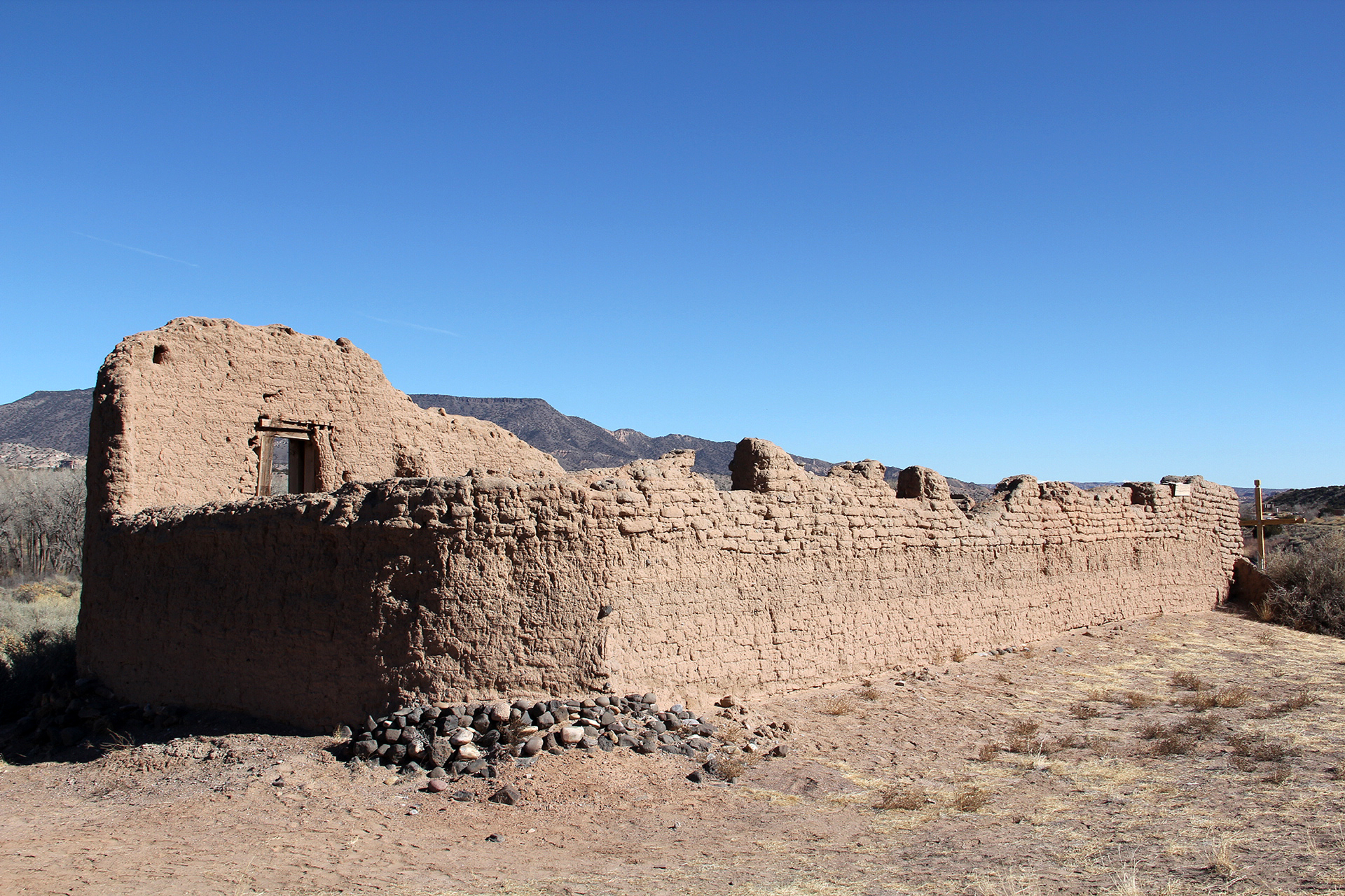
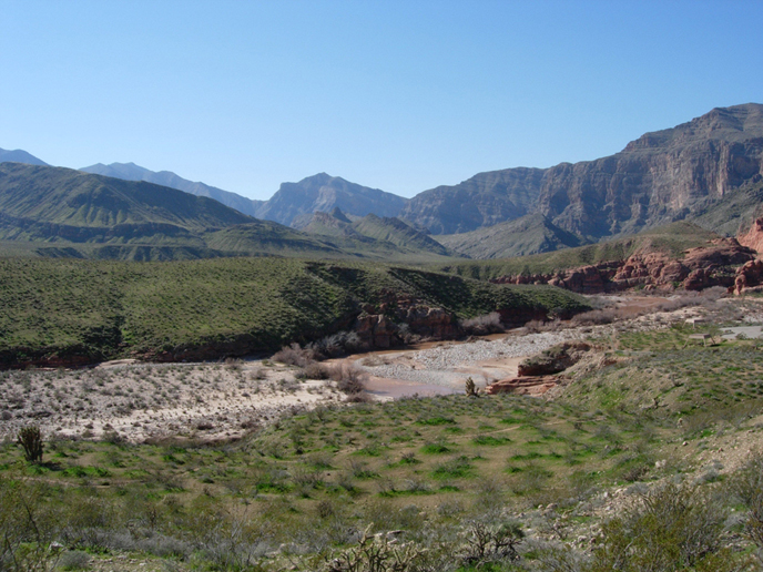
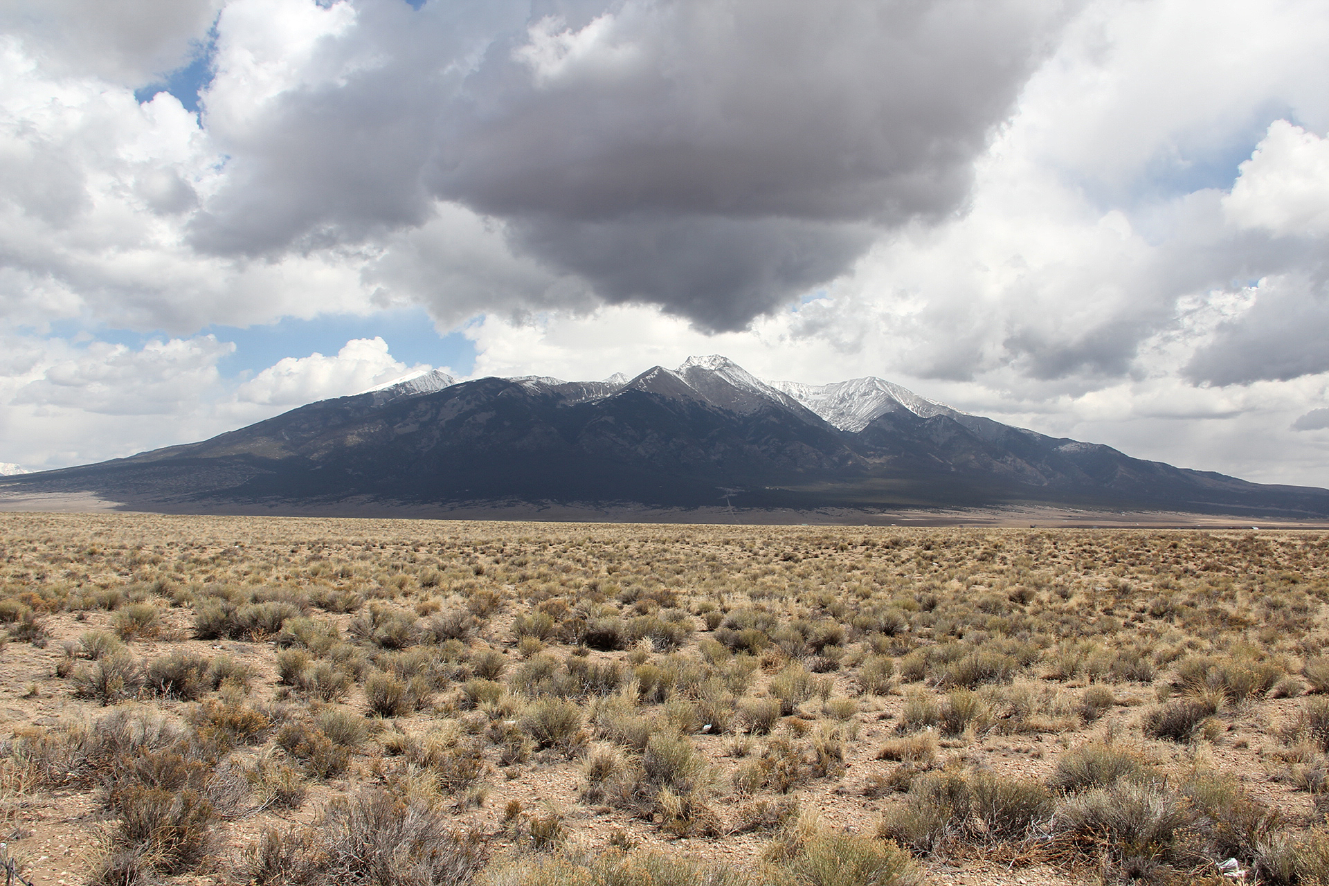
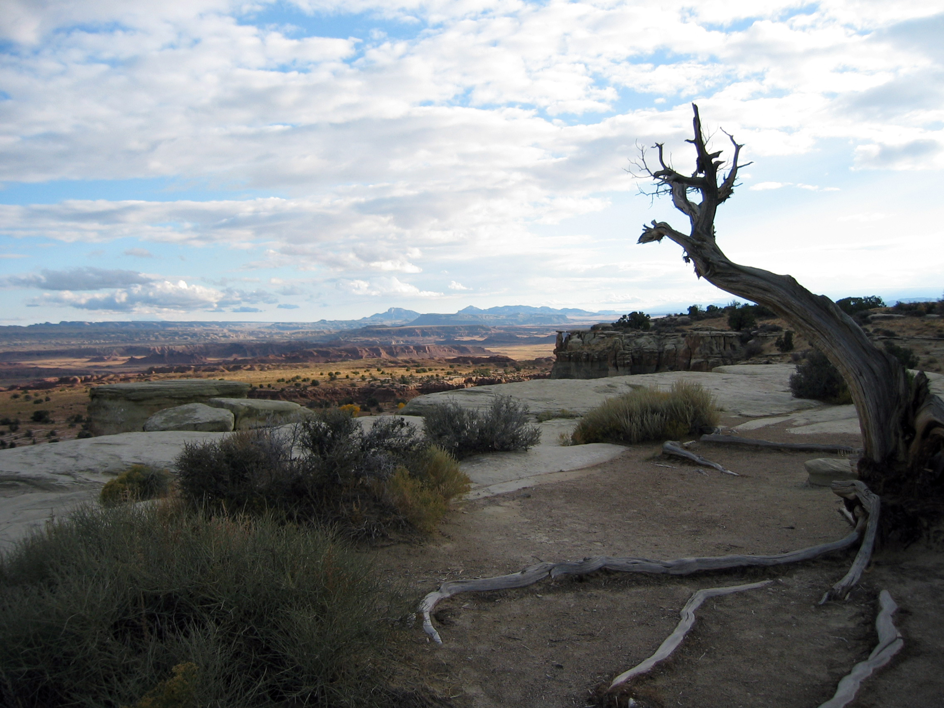
It is a 2,700-mile network of historic routes threading through six states, from Santa Fe, New Mexico to Los Angeles, California, tracing the paths of 19th-century New Mexican traders who drove mule pack trains across the desert Southwest to exchange goods for horses and mules. There is no single entrance, no visitor center that covers the whole trail, and no continuous marked path to walk end to end. What exists instead is a constellation of museums, roadside markers, interpretive sites, and hikeable segments scattered across Arizona, California, Colorado, Nevada, New Mexico, and Utah. For the right traveler, that fragmented structure is actually the point. This is a framework for a multi-stop road trip through the Southwest, not a destination unto itself.
The case for it
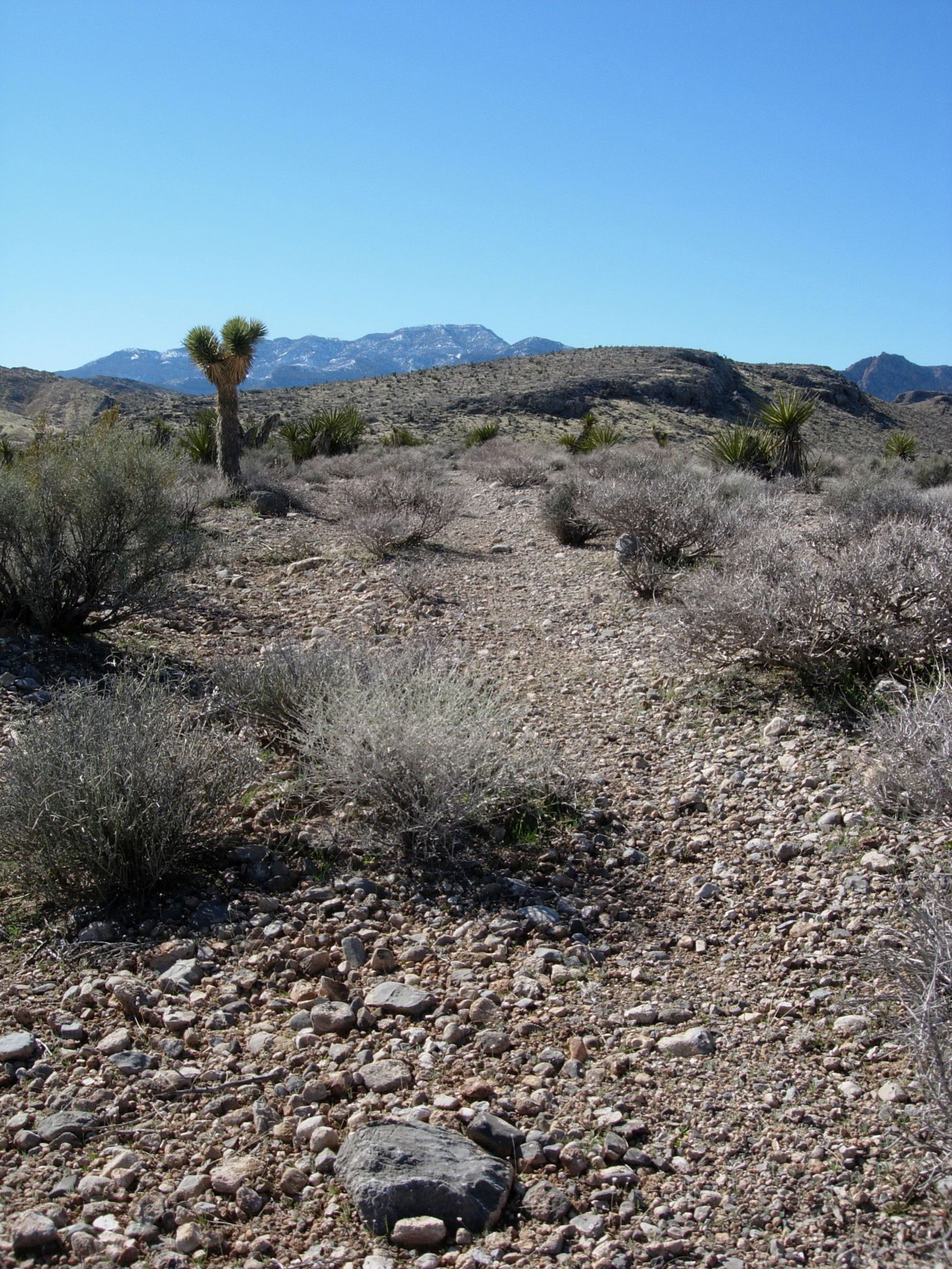
The Santa Fe National Historic Trail demands a particular kind of engagement. Its rewards are not immediate; the experience is built around deliberate planning across a specific region. Scenic driving along corridors approximates the historic route, providing landscape context for the traders. Segments of the trail are hikeable, some accessible by ATV or horse. This offers a tactile understanding of the terrain beyond a car window. Local museums and interpretive centers detail the commercial and cultural history of the Santa Fe trade era. The arts and culture component is genuine, with communities maintaining Spanish Colonial and Indigenous heritage directly tied to the trail's economy. A well-planned weekend in southern Utah or northern New Mexico can combine scenic driving, a hike on a documented segment, and a regional history museum visit. For those seeking a cohesive, rewarding journey through history, the effort pays off. Casual sightseers should look elsewhere.
Who it is for
This unit delivers most to a specific visitor. Its appeal lies in a documented trail with deep historical context. History enthusiasts focused on the Spanish Colonial Southwest will appreciate the details. Road trippers already moving between Santa Fe and Southern California might incorporate it easily. Equestrians and hikers are particularly well-suited to its offerings. Visitors expecting a single contained park experience with clear wayfinding and on-site amenities will be disappointed. Casual sightseers should look elsewhere.
Best time to visit
No single "best" season exists for traversing this trail. Desert sections across Arizona, Nevada, and southern California favor spring and fall for comfort. Conversely, high-elevation segments in Colorado and New Mexico face winter inaccessibility. Consult weather.gov for specific corridor conditions, as variability is extreme.
Worth seeing
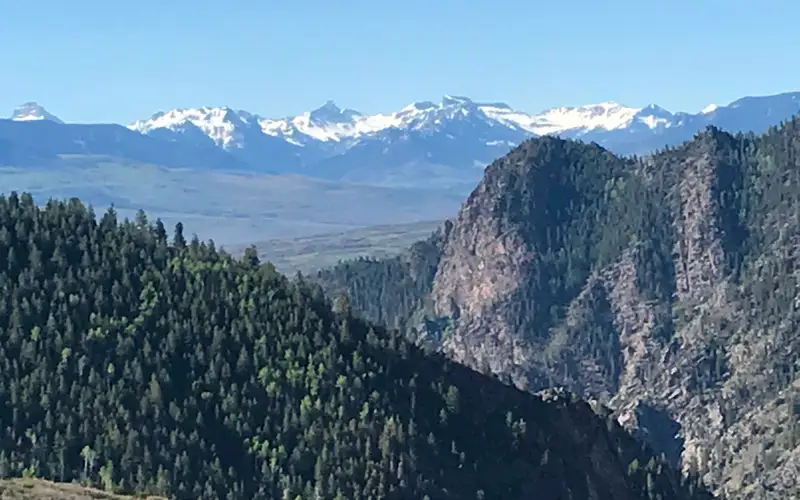
- Scenic driving along historic trade corridors through some of the most dramatic desert and canyon landscapes in the American Southwest
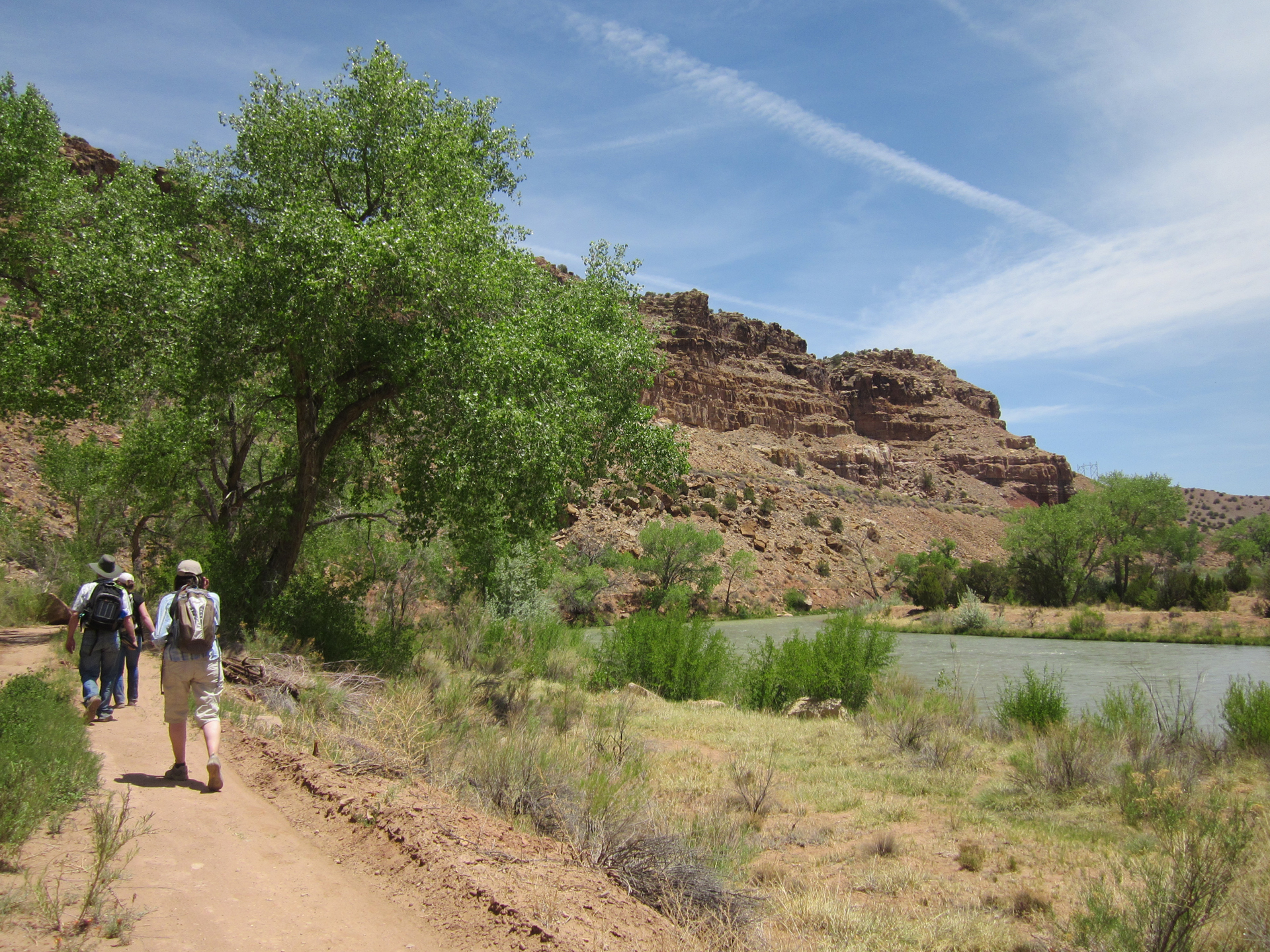
- Hikeable trail segments that put you directly on terrain traveled by 19th-century mule pack trains
- Horse trekking opportunities on documented sections, one of the few NPS units where equestrian travel is central to the experience
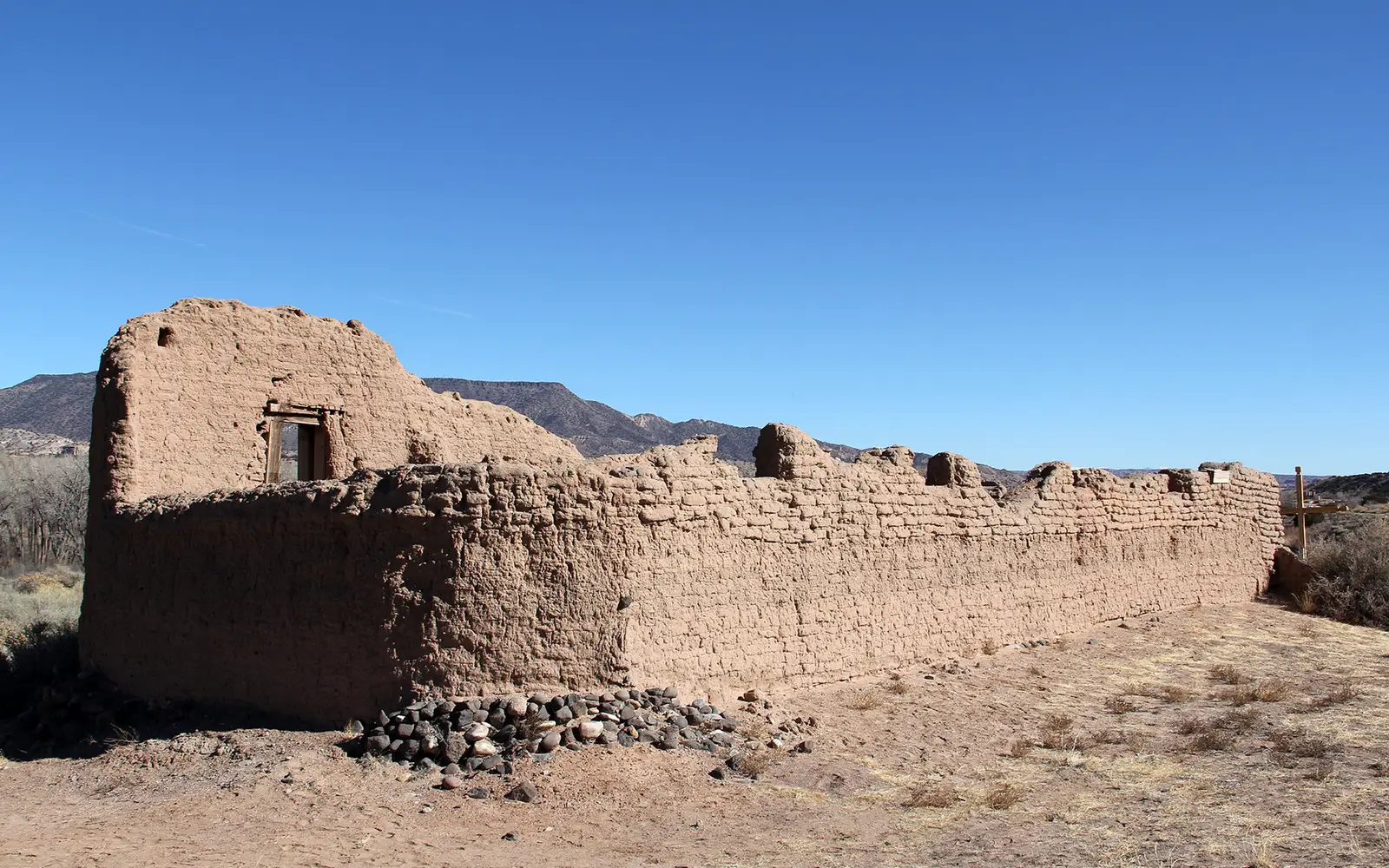
- Regional museums and interpretive centers that explain the Spanish Colonial trade economy connecting New Mexico to California
- Arts and cultural heritage tied to the communities that grew along the route, including Spanish Colonial and Indigenous traditions
- ATV and auto access on portions of the route, making the trail reachable for visitors who cannot hike long distances
Before you visit
This unit's lack of central organization means visitors must plan carefully. Entry is free. Every trailhead and interpretive center maintains independent hours and contact information. Confirm operating hours online or by phone before travel. A multi-day road trip is the recommended approach. Distances between points of interest are substantial.
Our tipFor optimal engagement, prospective visitors should concentrate on two or three anchor sites within a single geographic corridor, rather than attempting to cover the entire six-state expanse. The New Mexico section, particularly near Santa Fe, stands out. As the trail's origin point, it offers the highest concentration of interpretive resources and accessible hikeable segments in a compact area. This makes it the most efficient starting point for those new to the trail.