


parkverdict
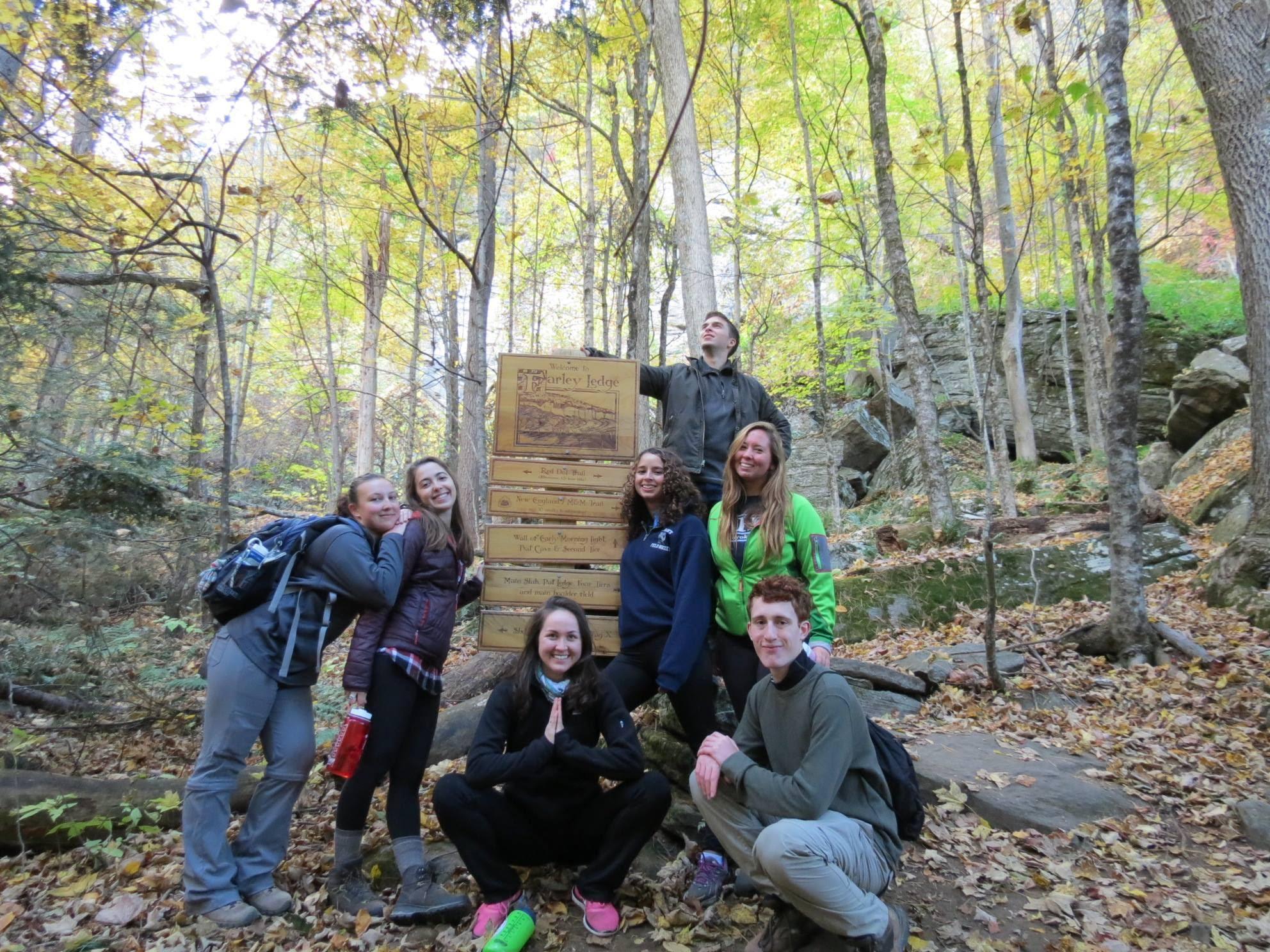
Hiker in trees at overlook with sunset in backgroundFall trees on the mountains of the trailOverview of the trail in the fallYouth gather around a trail head
National Scenic TrailMA / CT

New England National Scenic Trail

NPS / AMC Photo
66/ 100GOOD RANGE
parkverdict Experience ScoreIndependent, not sponsored

66 of 100. Our independent breadth-and-access index. How we score

Worth it?

Is New England National Scenic Trail worth it?

The New England National Scenic Trail runs 235 miles from Long Island Sound in Connecticut north through Massachusetts, crossing traprock ridges, river valleys, farmland edges, and forested summits.

There is no entrance gate, no ranger station, no single iconic overlook, and you will not see the whole thing in an afternoon. The trail works best for people who treat it as a linear journey, whether that means a weekend section hike or a multi-week thru-hike. Anyone expecting a tidy, self-contained park experience will come away disappointed. The corridor stitches together private land, state parks, and federally designated trail, so logistics require real planning. Get that part right and you have a genuine New England long trail with honest topographic variety and long stretches of solitude.

The case for it

A good weekend on the NET means picking a defined section, parking at a trailhead inside one of the state parks along the corridor, and walking terrain that captures interior New England: wooded ridgelines, traprock escarpments, farmland edges, and quiet stream crossings. Winter works surprisingly well out there too, since snowshoeing the same ground gives you views that summer foliage completely swallows up. Backcountry camping in the permitted sections lets you string together longer trips without arranging a car shuttle every single night. The trail passes through or near historic village centers, so section hikers get a real feel for how the cultural and natural history of the region layer on top of each other. It costs nothing and can be reached from multiple trailheads, so the main investment before you go is just doing your route research.

Who it is for

Best for experienced hikers, thru-hikers, and backpackers comfortable with self-directed navigation on a corridor trail that crosses mixed land ownership. Also suits snowshoers looking for accessible winter terrain. Not the right choice for families wanting a contained, amenity-rich park day or visitors expecting a single dramatic destination. People unfamiliar with long trail logistics may find it frustrating.

Best time to visit

Fall is usually the sweet spot: temperatures drop, the hardwood ridges turn color, and the humidity finally breaks after summer. Spring brings good stream flow and wildflowers, though expect muddy trails after rain. Summer is perfectly hikeable, just warm and humid, and the canopy fills in so thick that most views disappear. Winter strips the ridgelines bare again and makes snowshoeing a real option, but check individual park hours before you go because daylight is short and parking rules get stricter.

Worth seeing

  • 235 miles of continuous trail from Long Island Sound to Massachusetts summits
  • Traprock ridge hiking with panoramic ridge-top views
  • Backcountry camping on permitted sections for multi-day itineraries
  • Snowshoeing the same trail corridor in winter with open canopy views
  • Passage through historic New England village centers and working farmland edges
  • Free access with multiple entry points across Connecticut and Massachusetts

Before you visit

The trail is free to hike, but parking fees and hours differ depending on which section you visit, because the route crosses private land and several state parks. Before you head out, check the rules for your specific section, and pay close attention to overnight parking if you plan to backpack. There is no single trailhead for the whole trail, so pick your section in advance and confirm current access conditions. Day hiking requires no permit, though backcountry camping rules vary by location.

Our tipBefore committing to any section, cross-check the NET's official trail map against the individual state park pages for Connecticut DEEP or Massachusetts DCR. Overnight parking bans at trailheads can strand backpackers who were counting on car shuttles, and that kind of surprise tends to end trips early. If both parks anchoring each end of a section confirm overnight parking, you have avoided the most common logistics headache before it starts.

How we scored it

How New England National Scenic Trail earned its 66

Where does a 66 come from? One formula, run the same on every place we cover, built only from public data on what a unit offers and how reachable it is. It says nothing about how pretty a spot is or how busy it gets. This is what fed it:

  • Activity breadth8 documented activities
  • Topic breadth8 topics
  • Official imagery5 public-domain images
  • Camping on sitedocumented
  • Entry costfree

No number is hand-adjusted and no unit pays for placement. The full weights, the floor at 18 and a worked example are on how we score.

The honest limits

What the score cannot tell you

A quick honest note. The score tracks how much a place has going on and how easy it is to reach, both pulled from public records. What it cannot see is the stuff that often makes or breaks a day: whether the views stop you cold, how packed it gets in season, what the trails are like after rain, or whether you catch a great ranger talk. A small, single-focus site can land below a sprawling park here and still be the better call for your trip. Use the number to compare what places offer on paper, and the verdict up top to tell if it is your kind of place.

The basics

New England National Scenic Trail at a glance

The New England Trail stretches 235 miles from Long Island Sound up to the mountain summits of Connecticut and Massachusetts, tracing long ridges and scenic peaks the whole way. You pass through traprock ridges, historic village centers, farmland, unbroken forest, quiet streams, steep river valleys, and waterfalls, with panoramic views and close-up looks at the region's natural and cultural landscape woven throughout.

On documented breadth and access, New England National Scenic Trail ranks 9th of 19 park and public-land units we score in Massachusetts.

Weather and seasons

Summers are warm and humid; winters are cold the way New England winters always are.

On offer

Documented activities

CampingBackcountry CampingFoodDiningHikingBackcountry HikingFront-Country HikingSnowshoeing
Common questions

New England National Scenic Trail: quick answers

Is New England National Scenic Trail worth visiting?

The New England National Scenic Trail runs 235 miles from Long Island Sound in Connecticut north through Massachusetts, crossing traprock ridges, river valleys, farmland edges, and forested summits.

Is New England National Scenic Trail free to visit?

Yes, there is no entrance fee.

What is New England National Scenic Trail best for?

It leans hardest toward hiking, camping, winter sports, going by the 8 activities it actually documents.

When is the best time to visit New England National Scenic Trail?

Fall is usually the sweet spot: temperatures drop, the hardwood ridges turn color, and the humidity finally breaks after summer.

How is the Experience Score for New England National Scenic Trail calculated?

The 66 comes straight from public data on how much the place documents and how easy it is to reach, things like activities, topics, photos, camping and whether entry is free. It says nothing about scenery or how busy it gets.