
parkverdict
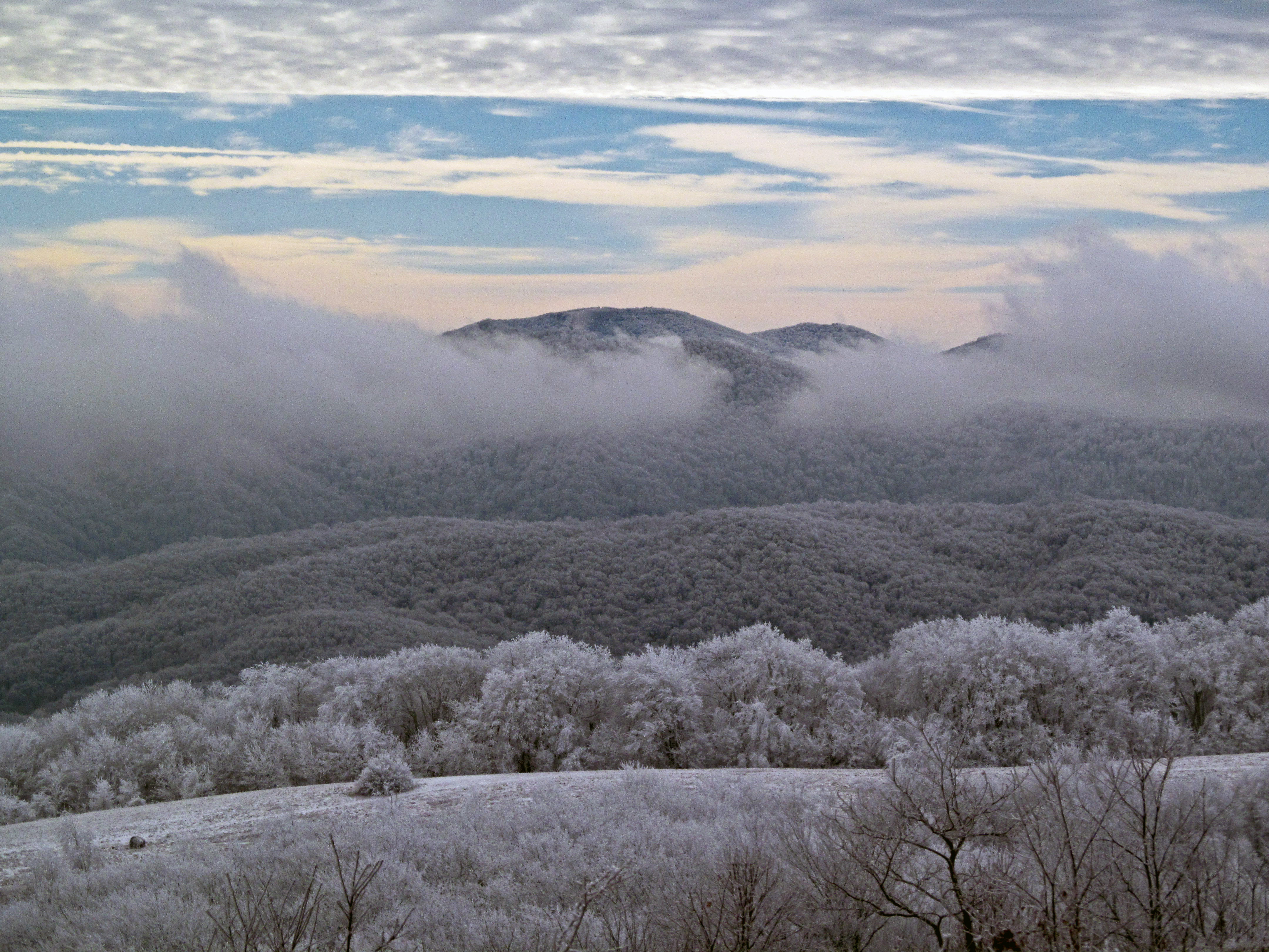
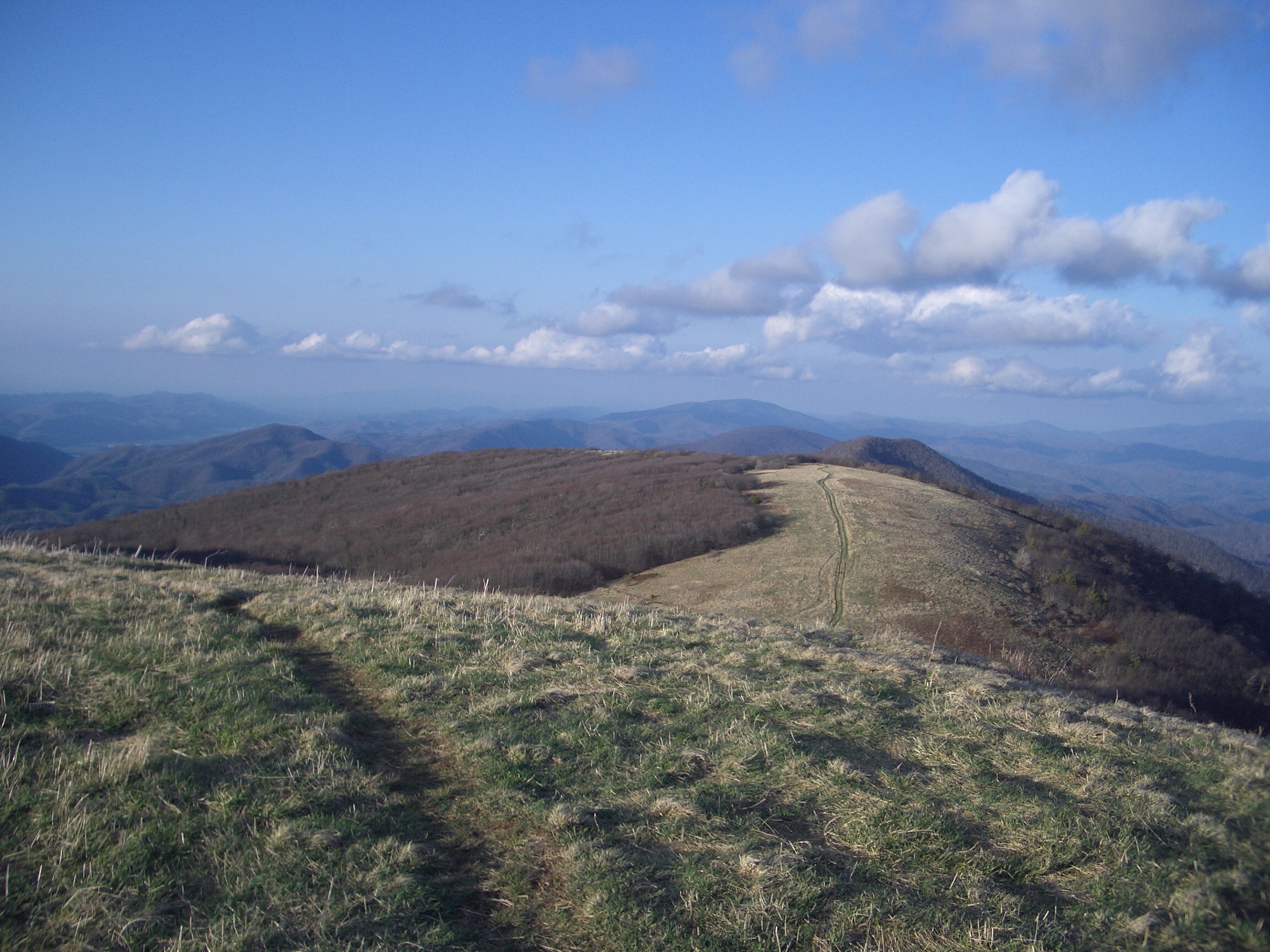
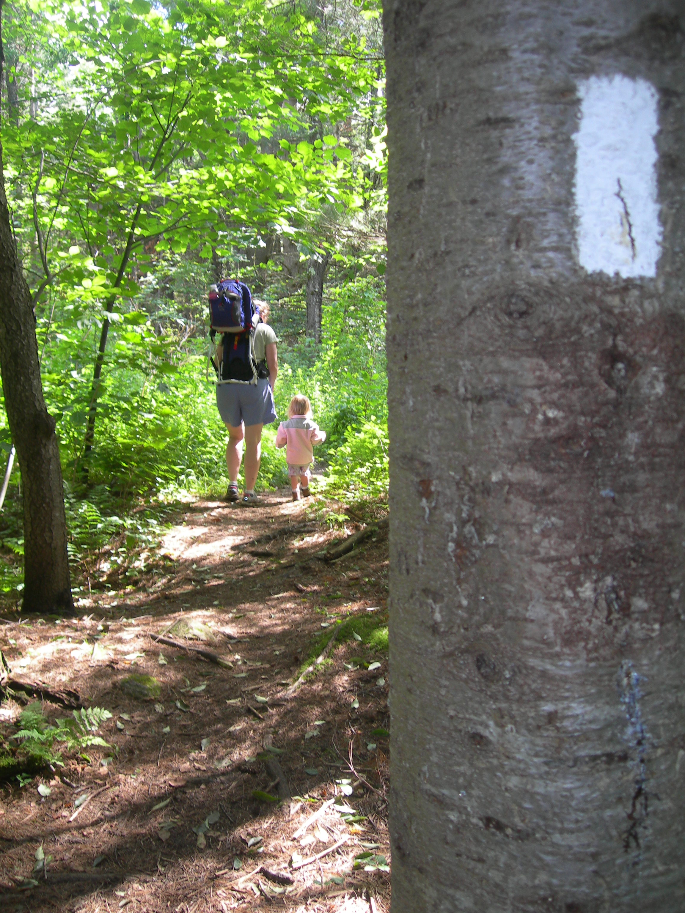
Silhouette of a man with backpack standing on McAfee Knob at sunset with mountains in the distance.The Appalachian Trail runs across a mountain ridge line with views to the horizon of mountain range.A white blaze marks a tree in the foreground, with a man and child walking away on the wooded trail.A volunteer is carrying a split log while walking across a wooden footbridge in the woods.
National Scenic TrailCT / GA / MA / MD / ME / NC / NH / NJ / NY / PA / TN / VA / VT / WV

Appalachian National Scenic Trail

NPS / Photo Credit: ATC/Benjamin Hays
95/ 100DOES IT ALL
parkverdict Experience ScoreIndependent, not sponsored

95 of 100. Our independent breadth-and-access index. How we score

Worth it?

Is Appalachian National Scenic Trail worth it?

The Appalachian Trail is less a park you visit than a world you walk into.

Stretching more than 2,190 miles across 14 states, from Springer Mountain in Georgia to Mount Katahdin in Maine, it is the backbone of long-distance hiking in the United States. But you do not have to thru-hike it to get something real out of it. Day hikers, weekend backpackers, birdwatchers, winter snowshoers, and families working through a Junior Ranger program all have genuine, documented access points along the route. What surprises most people is how much the trail changes. Terrain and climate shift considerably from state to state, so a weekend in the Smokies feels almost nothing like a weekend in the Whites. Among NPS units, earning a 95 out of 100 experience score without much argument is rare, but this one manages it. The range of activities, the year-round access, and the sheer geographic spread across 14 states mean almost any traveler with an interest in the outdoors will find a reason to plan around it.

The case for it

Where you start on the AT shapes everything. In Virginia and Maryland, the ridgeline sections are well graded, which means day hikers get open views without a brutal climb, and campsites are easy to reach. Head north into New Hampshire's White Mountains or the stretch of Maine near Katahdin, and the trail gets genuinely hard in ways that feel earned once you're standing on top of something. Wildlife and birdwatching are well documented along the full corridor. The more remote sections sit far enough from East Coast light pollution that stargazing is actually worth staying up for, not just a footnote. Guided tours run from various access points if you want some background before going out on your own. And a weekend of backcountry camping on a quiet stretch, navigating by compass and GPS, holds up as a complete experience without needing anything added to it.

Who it is for

The trail works for most hikers, backpackers, birdwatchers, winter snowshoers, and families who plan around the access points. Multi-day and thru-hikers tend to get the most out of it. The one reason to skip it is equally simple: if walking outside holds no appeal for you, there is no drive-through option or way to experience it from a car.

Best time to visit

March and April are when northbound thru-hikers leave Georgia. Fall color runs from Virginia through New England, roughly September to October, and it is worth seeing. Maine and New Hampshire stay manageable in summer when heat punishes the southern sections. If Katahdin is your goal, note that Baxter State Park closes in winter.

Worth seeing

  • Over 2,190 miles of continuous footpath across 14 states, accessible at hundreds of trailheads
  • Backcountry camping along the full corridor with a network of shelters managed by volunteers
  • Documented stargazing in remote sections far from urban light pollution
  • Birdwatching and wildlife watching through diverse Appalachian forest and ridge ecosystems
  • Winter snowshoeing access on lower-elevation sections when northern termini are closed
  • Junior Ranger Program for families, making it one of the few long-distance trails with structured kids programming

Before you visit

Entry is free, though the logistics vary depending on which section you visit. Popular areas like the White Mountains run their own fee structures through the Forest Service, so check trailhead rules, parking, and permit requirements before you go. Most shelters are first-come, first-served. The trail crosses 14 states, and weather can shift fast in any of them, so plan ahead.

Our tipGrab a mid-week overnight on a quieter stretch in Virginia or Maryland if you want a feel for the AT without clearing your schedule. You'll get real backcountry solitude, manageable terrain, and a decent chance at having a shelter to yourself, unlike the crowded New England sections.

How we scored it

Behind the 95

The number is not a mood. It is a few things we can actually check in public records, added up and capped so no single one runs away with the total. It tracks how much a place has going on and how easy it is to reach, and nothing about scenery or crowds. Here is what added up to 95:

  • Activity breadth18 documented activities
  • Topic breadth20 topics
  • Official imagery5 public-domain images
  • Camping on sitedocumented
  • Entry costfree

No number is hand-adjusted and no unit pays for placement. The full weights, the floor at 18 and a worked example are on how we score.

The honest limits

What the score cannot tell you

A quick honest note. The score tracks how much a place has going on and how easy it is to reach, both pulled from public records. What it cannot see is the stuff that often makes or breaks a day: whether the views stop you cold, how packed it gets in season, what the trails are like after rain, or whether you catch a great ranger talk. A small, single-focus site can land below a sprawling park here and still be the better call for your trip. Use the number to compare what places offer on paper, and the verdict up top to tell if it is your kind of place.

Overview

About Appalachian National Scenic Trail

The Appalachian Trail stretches more than 2,190 miles through forests, farmland, and mountain wilderness along the Appalachians. The idea came together in 1921, private citizens did the actual building, and the trail was finished in 1937. These days it's managed by a mix of the National Park Service, the US Forest Service, the Appalachian Trail Conservancy, various state agencies, and thousands of volunteers.

On documented breadth and access, Appalachian National Scenic Trail ranks 1st of 3 park and public-land units we score in Connecticut.

Climate note

Weather on the trail can turn on you without much warning, no matter the season. Conditions shift dramatically depending on where you are, since the trail stretches all the way from Georgia to Maine.

Things to do

What it offers

AstronomyStargazingCampingBackcountry CampingCompass and GPSOrienteeringGuided ToursSelf-Guided Tours - WalkingHands-OnCitizen ScienceVolunteer VacationHikingBackcountry HikingFront-Country HikingJunior Ranger ProgramSnowshoeingWildlife WatchingBirdwatching
Common questions

Appalachian National Scenic Trail: quick answers

Is Appalachian National Scenic Trail worth visiting?

The Appalachian Trail is less a park you visit than a world you walk into.

Is Appalachian National Scenic Trail free to visit?

No charge at the gate.

What is Appalachian National Scenic Trail best for?

It leans hardest toward stargazing, hiking, camping, good with kids, going by the 18 activities it actually documents.

When is the best time to visit Appalachian National Scenic Trail?

March and April are when northbound thru-hikers leave Georgia.

How is the Experience Score for Appalachian National Scenic Trail calculated?

The 95 comes straight from public data on how much the place documents and how easy it is to reach, things like activities, topics, photos, camping and whether entry is free. It says nothing about scenery or how busy it gets.