Is Natchez Trace Parkway worth your trip?
The Natchez Trace Parkway is a 444-mile federally managed scenic corridor across Mississippi, Alabama, and Tennessee.
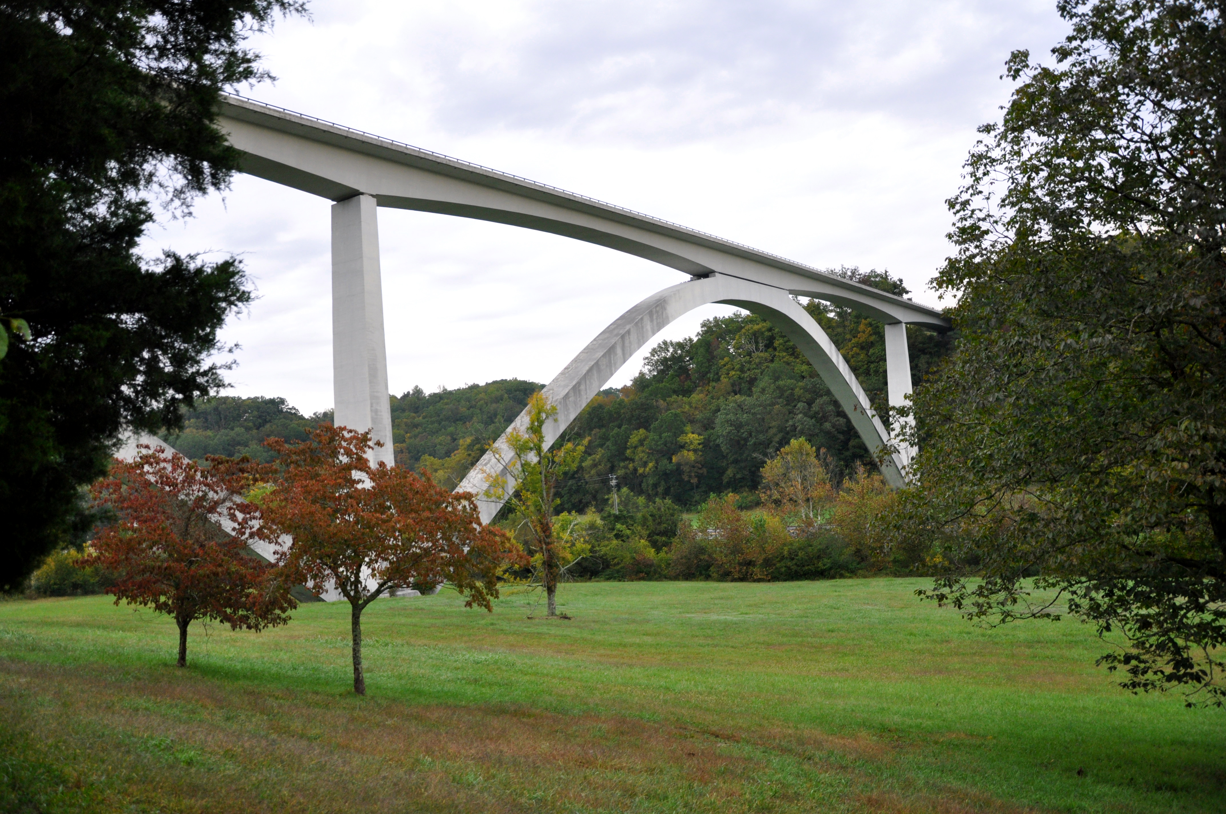
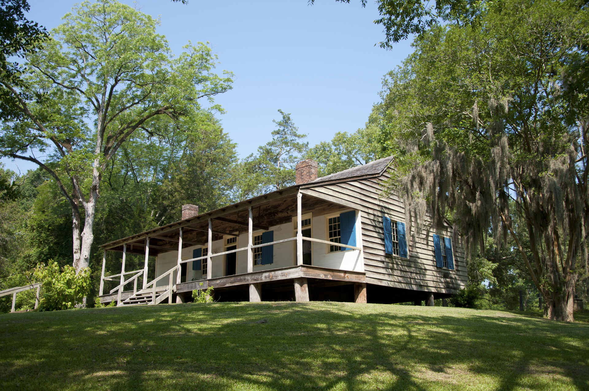
This unit traces a historic route used by Indigenous peoples, frontier travelers, and early American soldiers. Free and open around the clock, the Parkway presents a linear experience rather than a central destination. Visitors can drive, bike, hike, or ride horses, stopping at historical sites, trailheads, campgrounds, and overlooks along the way. For those who appreciate layered history, quiet roads, and self-directed exploration, the Parkway delivers. Its documented breadth, reflected in an Experience Score of 97, is genuinely exceptional for a parkway unit. This is not a dramatic landscape park offering canyon views or alpine summits. However, it stands as one of the most accessible and versatile linear parks in the country. One can sample it in an afternoon or devote a week to its exploration.
Why go
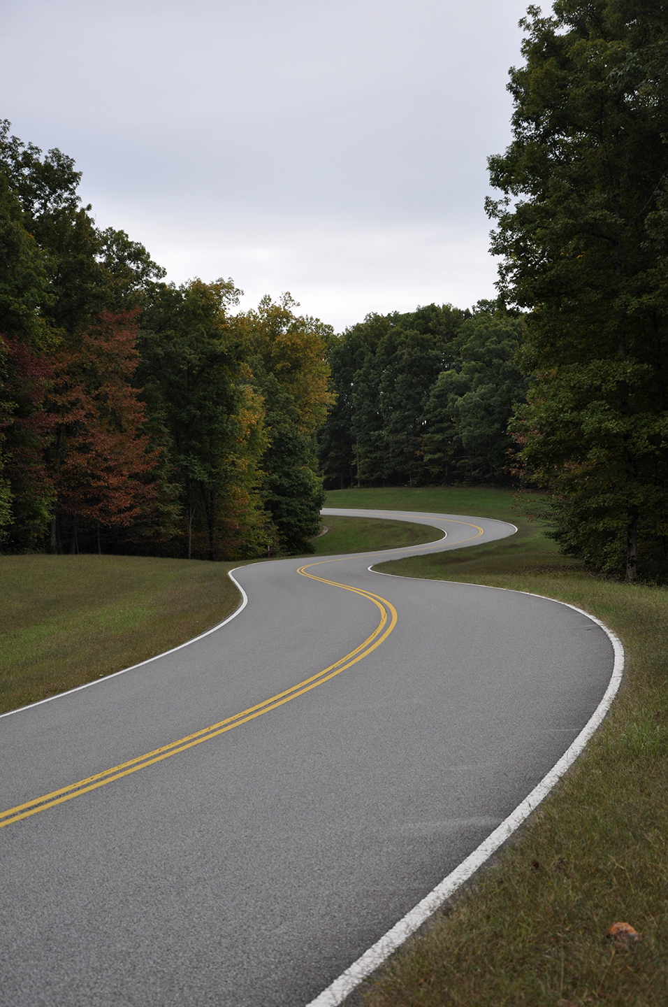
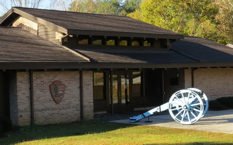
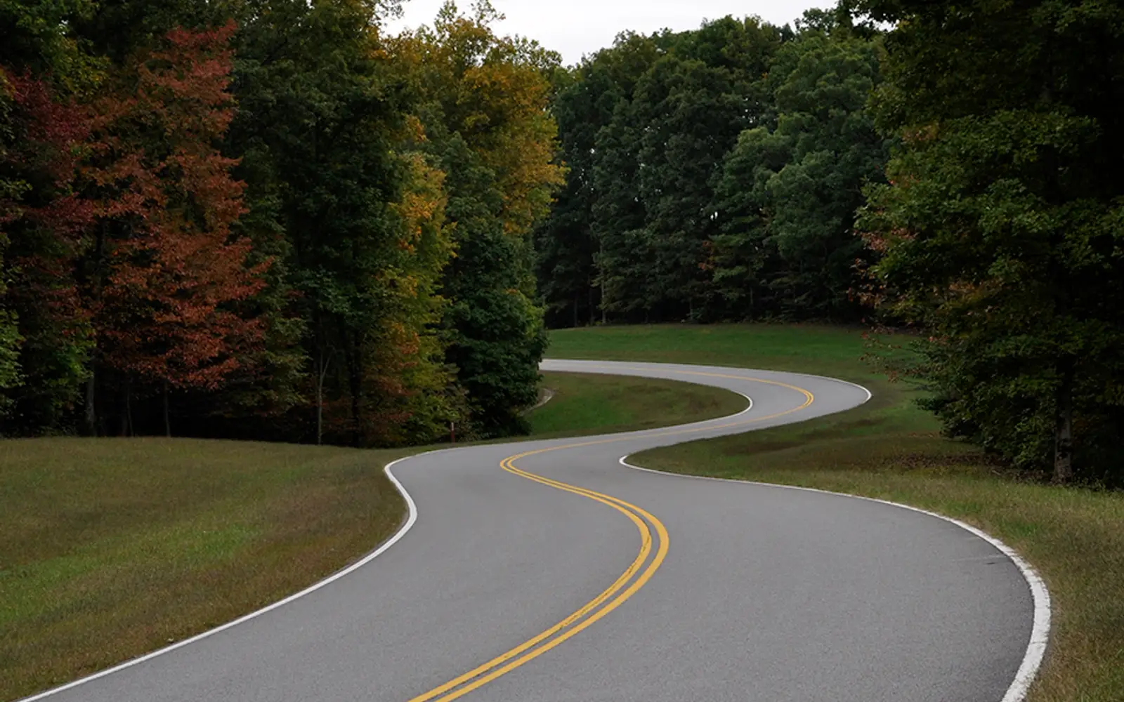
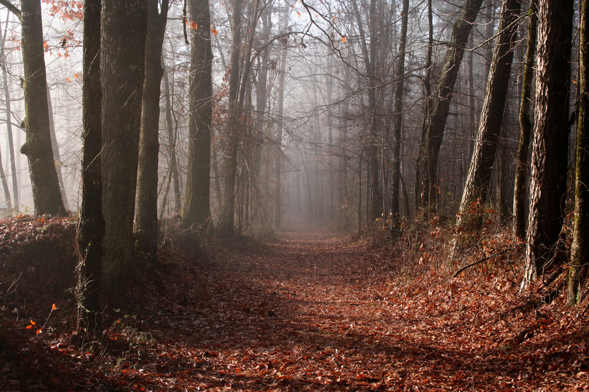
The Natchez Trace offers a unique, linear park experience. Its defining feature is the motor road, closed to commercial traffic, which cyclists widely regard as a premier long-distance route. Roadside pulloffs provide access to front-country trails for hikers, while anglers will find freshwater fishing opportunities at various points. The corridor's extensive wooded sections benefit wildlife watchers and birders. Campgrounds accommodate both tents and RVs, facilitating multi-night stays. The absence of commercial development along much of the route ensures genuinely viable stargazing after dark. History enthusiasts have options for both guided and self-guided tours
Best for
This linear park offers a slow, multi-day journey for road cyclists, history enthusiasts, and RV travelers. It stands out as one of the best free options within the National Park System. Families with children, birdwatchers, and those seeking a scenic drive without entrance fees will also find value. However, visitors prioritizing dramatic wilderness, backcountry hiking, or iconic viewpoints should consider other destinations.
Best season
The seasonal windows for this park are sharply defined. Spring affords moderate temperatures and active wildlife viewing, while fall delivers cooler air and notable foliage in the Tennessee portions. Summer heat presents a significant challenge, with heat indices frequently surpassing 100 degrees Fahrenheit in Mississippi and Alabama, rendering active pursuits strenuous. Winter is amenable to driving, though visitors should anticipate reduced facility hours.
The high points
- 444 miles of no-commercial-traffic road ideal for road cycling and scenic driving across three states
- Front-country hiking at multiple trailheads along the corridor
- Freshwater fishing access at points along the route
- Established campgrounds accommodating tents and RVs for multi-night through-travel
- Stargazing potential along undeveloped stretches away from city light pollution
- Junior Ranger program spanning a multi-state historical corridor, unusual in the NPS system
Know before you go
The absence of an entrance fee for the entire 444-mile corridor stands as a significant advantage, ensuring broad accessibility. The motor road maintains year-round availability, day and night, though temporary severe weather closures can occur. Variable information center hours mean visitors should not rely on consistent access to facilities. Finally, travelers should prepare for inconsistent cell service in rural Mississippi, making offline map downloads a necessary precaution.
One more thingFor cyclists undertaking the full parkway or an extended section, advance planning for overnight stops is essential. Campgrounds along the route are established facilities. Do not expect to improvise. Services and towns adjacent to the parkway are sparse within Mississippi. Distances between facilities are greater than state-level maps suggest.