Is Mormon Pioneer National Historic Trail worth your trip?
The Mormon Pioneer National Historic Trail is less a destination and more a 1,300-mile historical corridor.
It traces the 1846-1847 route of Mormon pioneers across Illinois, Iowa, Nebraska, Wyoming, and Utah. The experience hinges entirely on pre-departure planning. No single trailhead unifies it. No visitor center serves the entire length. There is no marked, continuous path. Instead, a patchwork of historic sites, auto tour segments, museum exhibits, and intermittent hiking and riding opportunities span five states and multiple land jurisdictions. History enthusiasts willing to research will find deep rewards. Casual visitors expecting a conventional park experience will encounter confusion and disappointment. This is not a typical park. It functions more as a research project with occasional outdoor components.
Why go
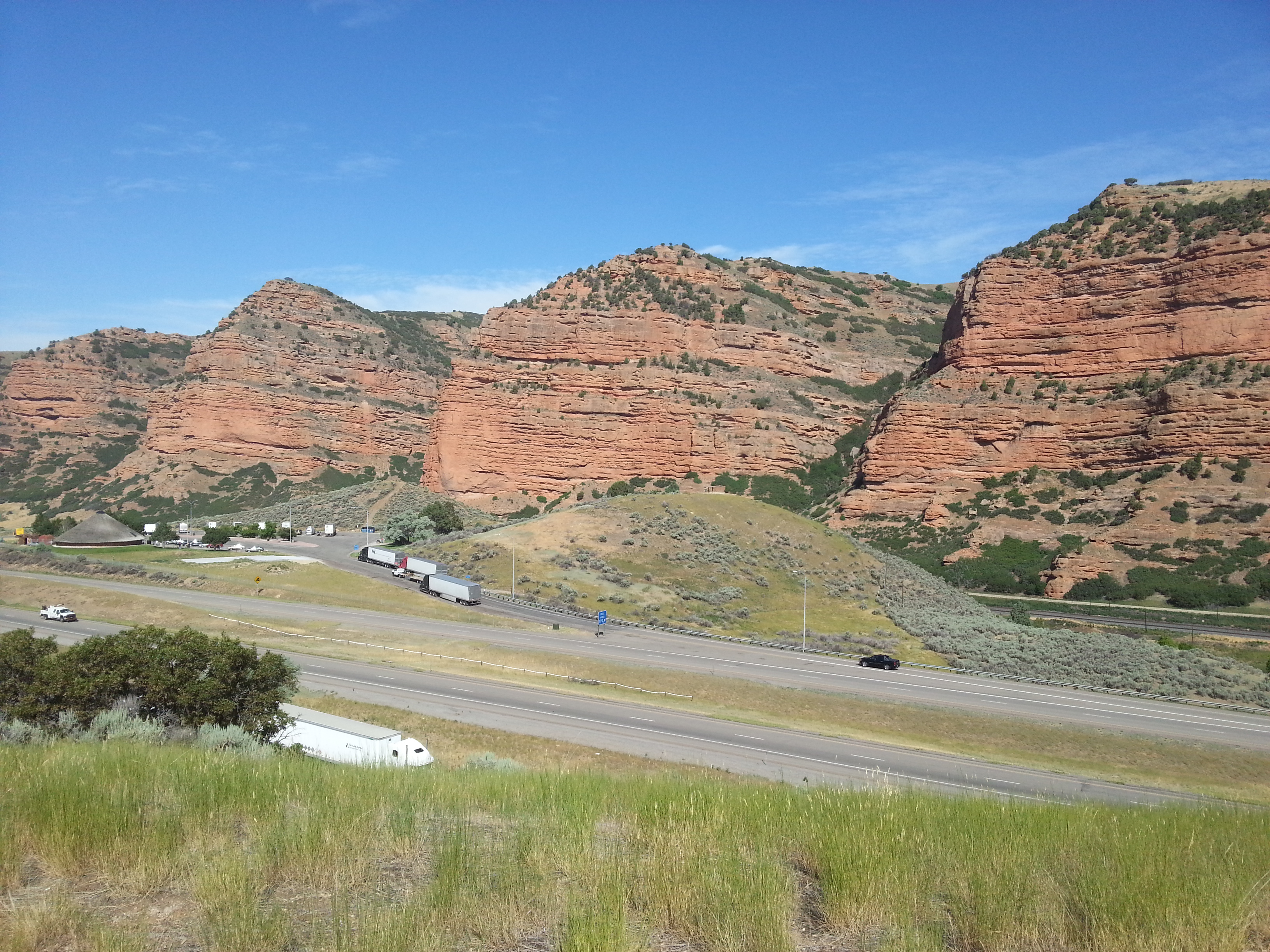
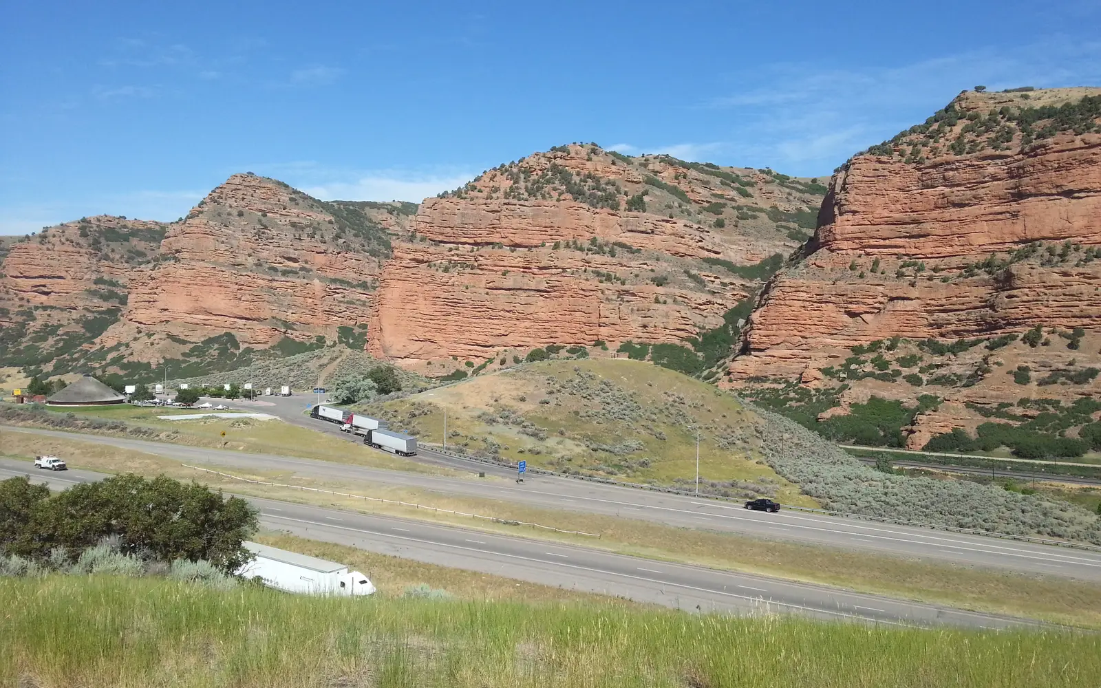
This unit delivers a singular experience: an immersive historical traverse. The auto tour route links communities and landmarks, tracing the path of original wagon companies across rivers and winter encampments. Museum exhibits along the corridor personalize the migration with individual stories. On public lands, hiking and horseback riding offer a direct, physical engagement with the pioneer experience. The Junior Ranger Program supports family engagement across multiple stops. Guided tours at specific sites provide interpretive depth beyond self-guided driving. The scale of this historical endeavor becomes clear with even one state segment. This is a destination for those who prioritize historical immersion over traditional park recreation.
Best for
This trail caters specifically to history-focused travelers, especially those with a deep interest in 19th-century westward migration. Multi-state road-tripping families can easily integrate it into a broader itinerary. Horseback riders and hikers seeking historically significant public land routes will find substantial value. Those anticipating a compact, self-contained park experience should consider other destinations.
Best season
The trail's considerable length means conditions vary wildly. No single best season exists for the entire route. Iowa and Nebraska offer the most pleasant experiences in late spring and early fall, sidestepping summer humidity and winter ice. Wyoming and Utah segments present significant challenges, from July's intense heat to October's early snows. Consult weather.gov for specific regional forecasts. Planning must be state-by-state. Do not approach this as a singular, unified excursion.
The high points
- Auto touring a specific state segment to follow the original 1846 to 1847 wagon route across real landscapes
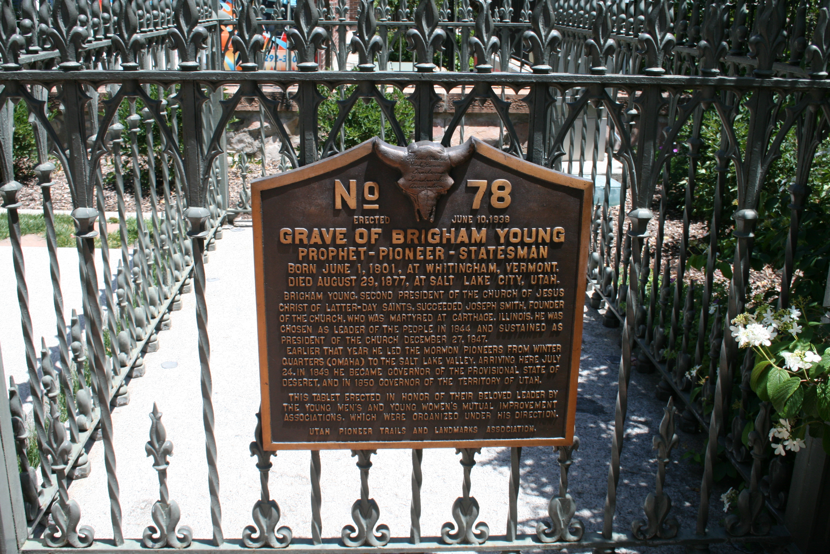
- Museum exhibits at corridor communities that document the pioneer experience with primary source material
- Horseback riding on public land sections that closely mirror the original trail surface and terrain
- Guided tours at key historic sites that add interpretive context beyond roadside markers
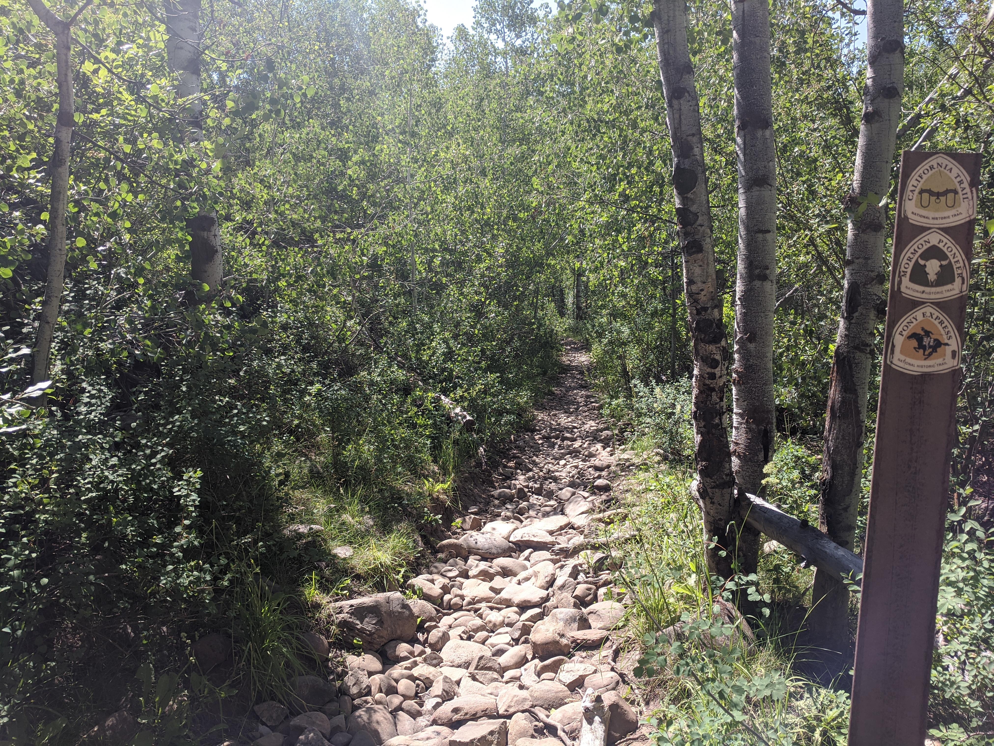
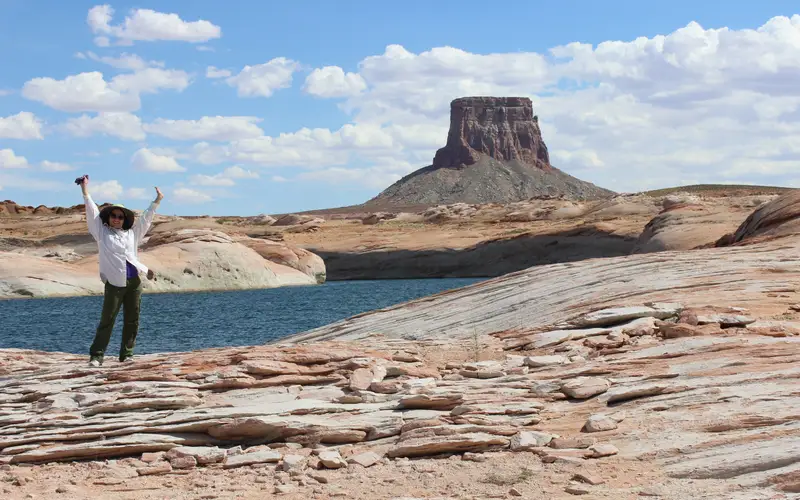
- Hiking segments where the route crosses wilderness or public land, offering a physical connection to the journey
- Junior Ranger Program activities that structure the experience meaningfully for kids across multiple stops
Know before you go
The 1,300-mile trail spans five states, a multi-day undertaking for drivers. Access rules are complex: the route crosses land owned by various agencies, private landowners, and municipalities. There is no single standard for use. Entry is free. Before traveling, download the NPS trail map. Identify publicly accessible segments. Do not assume universal walk or ride access. This is a route for dedicated planners, not casual visitors.
One more thingIndependent exploration of the Mormon Pioneer Trail is challenging. Visitors must conduct extensive advance research to identify specific public land segments and local communities along their planned route. Operating hours, guided tour availability, and trail access vary significantly by location. Without direct contact with local sites, travelers risk encountering locked doors and unmarked turnoffs. This is not a destination for casual, spontaneous visits.