parkverdict
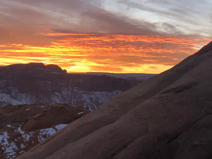
Moab PicSunsetMoab Pic Sunset
Recreation AreaUT

Moab Field Office (BLM)

NPS / BLM
93/ 100DOES IT ALL
parkverdict Experience ScoreIndependent, not sponsored

93 of 100. Our independent breadth-and-access index. How we score

Our verdict

Should you visit Moab Field Office (BLM)?

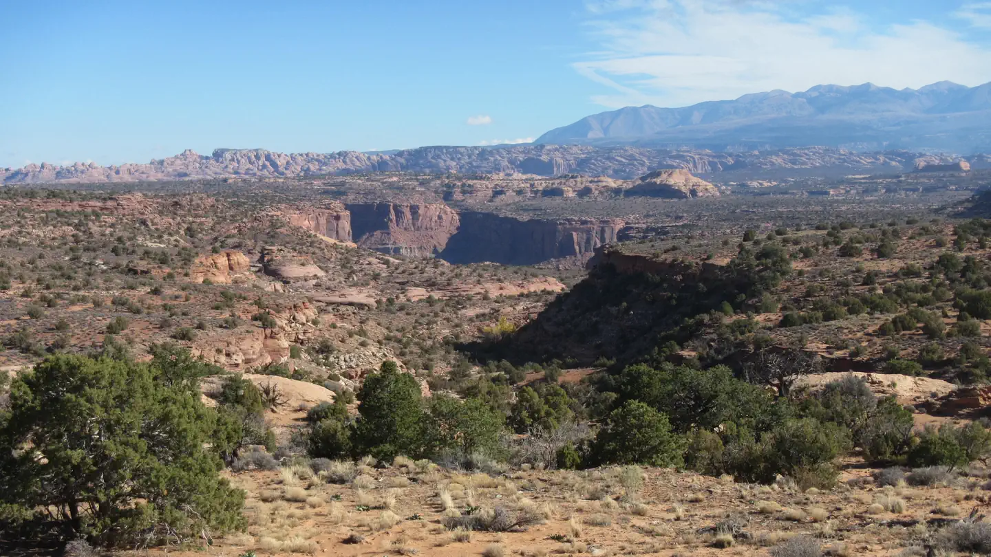
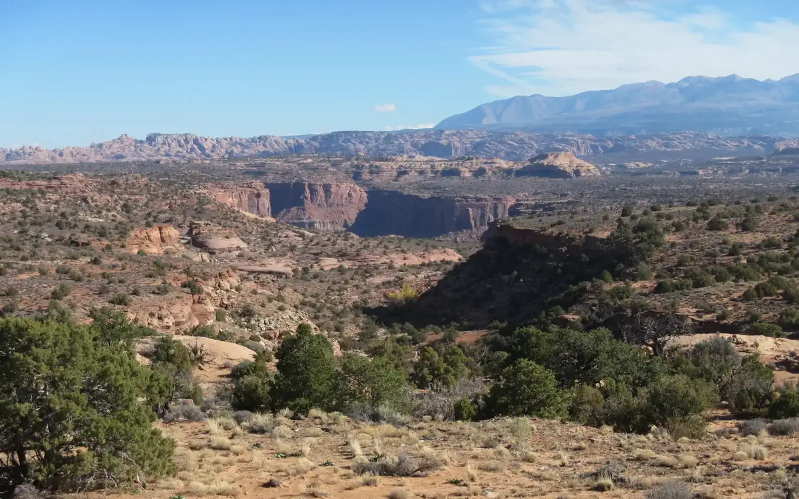
The Moab BLM Field Office covers 1.8 million acres of canyon country managed by the Bureau of Land Management, wedged between and alongside Arches and Canyonlands National Parks.

There is no central visitor center, no tidy loop trail, no single entry point. Signage is sparse, access is scattered, and the place genuinely rewards people who show up knowing what they want to do. The range of activities is difficult to match anywhere in the region. The Colorado and Green Rivers draw paddlers for both whitewater and flatwater trips, from mellow float days to serious multi-day runs. The redrock terrain handles a casual afternoon scenic drive just as comfortably as it handles a week-long backpacking push or technical climbing objectives. Mountain biking here has a global reputation, full stop. Dispersed camping away from town puts you under some of the darkest skies in the area. For anyone with solid outdoor experience, this is one of the most activity-rich, free-access public land complexes in the American West, and the Experience Score of 93 reflects that honestly.

What makes it worth it

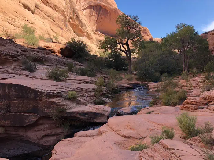
River runners can put in on the Colorado for a half-day float or commit to a multi-day whitewater trip through technical canyon sections. Mountain bikers come from across the world for trails that range from slickrock cruising to genuinely punishing technical routes. Climbers spread out across sandstone walls set into a landscape almost too big to take in. Auto tourers can string together scenic canyon roads without paying an entrance fee. Campers pitch dispersed sites under skies dark enough for serious stargazing. Wildlife viewing, horseback riding, and recreational shooting are all documented, legitimate uses of the land. Free access, massive scale, and sheer variety mean a long weekend here is genuinely hard to exhaust.

Who should go

The area works best for self-sufficient people who already know how to get around on public land: mountain bikers, river runners, climbers, backpackers, and OHV riders. Car campers looking for free sites near genuinely spectacular scenery will get their money's worth too. But if you want a staffed visitor center, maintained loop trails, or someone to curate the experience for you, just go to Arches or Canyonlands instead.

When to go

Spring (March through May) and fall (September through November) are the reliable windows, with moderate temperatures suited to hiking, biking, and river trips. Summer brings extreme heat that makes midday activity dangerous on exposed redrock and on the river. Winter can be surprisingly quiet and clear, good for photography and driving, but some roads become impassable after snow. River levels vary significantly by season and affect whitewater trip planning.

Highlights

  • Free dispersed camping across 1.8 million acres with some of the darkest skies in the Colorado Plateau region
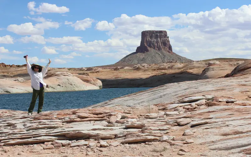
  • Colorado and Green River access for flatwater canoeing, multi-day rafting, and whitewater trips
  • World-renowned mountain biking on slickrock and canyon terrain
  • Technical climbing on sandstone walls across a vast, uncrowded landscape
  • Scenic auto touring through canyon country at no entrance cost
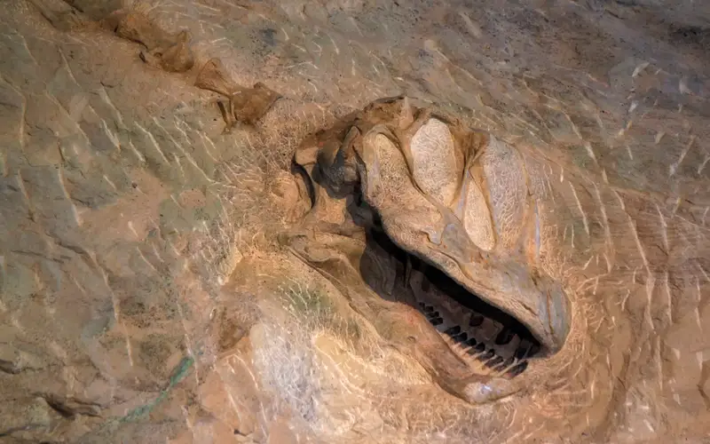
  • Dinosaur track sites including the Mill Canyon area, adding a paleontology layer to the visit

Plan ahead

Admission costs nothing, but dispersed camping has a 14-day limit, and the busier river corridors typically require a permit or charge a fee. Cell service drops out across most of the field office area, so download offline maps before you head out. Most roads need high-clearance or four-wheel-drive vehicles. For current road conditions and status, stop by the BLM Moab Field Office in town.

Editor's tipPick a campsite a few miles back from Highway 191 instead of staying right along the main road. On weeknights especially, foot traffic drops off fast once you get away from that corridor, and you end up with the same canyon views for free, quieter nights, and noticeably darker skies.

How we scored it

Behind the 93

The number is not a mood. It is a few things we can actually check in public records, added up and capped so no single one runs away with the total. It tracks how much a place has going on and how easy it is to reach, and nothing about scenery or crowds. Here is what added up to 93:

  • Activity breadth29 documented activities
  • Topic breadth0 topics
  • Official imagery3 public-domain images
  • Camping on sitedocumented
  • Entry costfree

No number is hand-adjusted and no unit pays for placement. The full weights, the floor at 18 and a worked example are on how we score.

The honest limits

What the number leaves out

Worth saying plainly: this number only knows what the data shows, which is breadth and access. It has no idea whether the scenery is jaw-dropping, whether the lot is a zoo in July, what shape the trails are in, or how good the guided walks are. So do not read a lower score as a worse day out. A focused little site can beat a big all-rounder for the right person. Compare the numbers for what is on offer, then read the verdict for who each place actually suits.

Overview

About Moab Field Office (BLM)

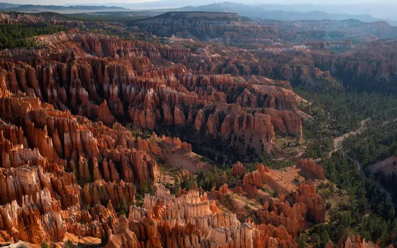
Sitting on the Colorado Plateau, the Moab Field Office covers 1.8 million acres of canyon country shaped over millennia by the Colorado and Green Rivers. The landscape runs from arches and natural bridges to mesas and spires scattered across a wide stretch of public land. There is no shortage of things to do out here. Off-highway vehicles, mountain biking, climbing, base jumping, hiking, horseback riding, and river rafting all draw crowds, and millions of visitors come through every year. That traffic supports hundreds of recreation-related jobs in the surrounding communities. The land carries other demands as well, including oil and gas production, mining, and livestock grazing. Dinosaur history is woven into this country in a way that is easy to overlook until you stumble across it. The Mill Canyon Interpretive Track Site and Bone Trail are two of the better-known spots for that. Desert wildlife shows up throughout the area, and bighorn sheep have a strong presence here. Fall is the best time to catch them. Spring and fall see the heaviest visitor traffic. When you go, follow the Tread Lightly and Leave No Trace principles. The land absorbs a lot of use, and keeping it intact for the next round of visitors takes real effort from the current ones. For camping details, consult the Moab Camping Guide and the Colorado River Moab Daily Camping Map. Both resources also carry current information about the Canyon Country District, Moab Field Office, and Monticello Field Office.

On documented breadth and access, Moab Field Office (BLM) ranks 3rd of 34 park and public-land units we score in Utah.

Things to do

What it offers

BoatingCampingWater SportsAuto TouringBackpackingBikingCanoeingClimbingDay Use AreaHikingHiking TrailHorseback RidingHorse CampingHuntingMountain BikingOff Highway VehicleOff Road Vehicle TrailsPhotography
Common questions

Moab Field Office (BLM): quick answers

Is Moab Field Office (BLM) worth visiting?

The Moab BLM Field Office covers 1.8 million acres of canyon country managed by the Bureau of Land Management, wedged between and alongside Arches and Canyonlands National Parks.

Is Moab Field Office (BLM) free to visit?

No charge at the gate.

What is Moab Field Office (BLM) best for?

It leans hardest toward stargazing, hiking, camping, water activities, going by the 29 activities it actually documents.

When is the best time to visit Moab Field Office (BLM)?

Spring (March through May) and fall (September through November) are the reliable windows, with moderate temperatures suited to hiking, biking, and river trips.

How is the Experience Score for Moab Field Office (BLM) calculated?

The 93 comes straight from public data on how much the place documents and how easy it is to reach, things like activities, topics, photos, camping and whether entry is free. It says nothing about scenery or how busy it gets.