parkverdict
Merced River RMAMerced River RMAMerced River RMAMerced River RMA
Recreation AreaCA

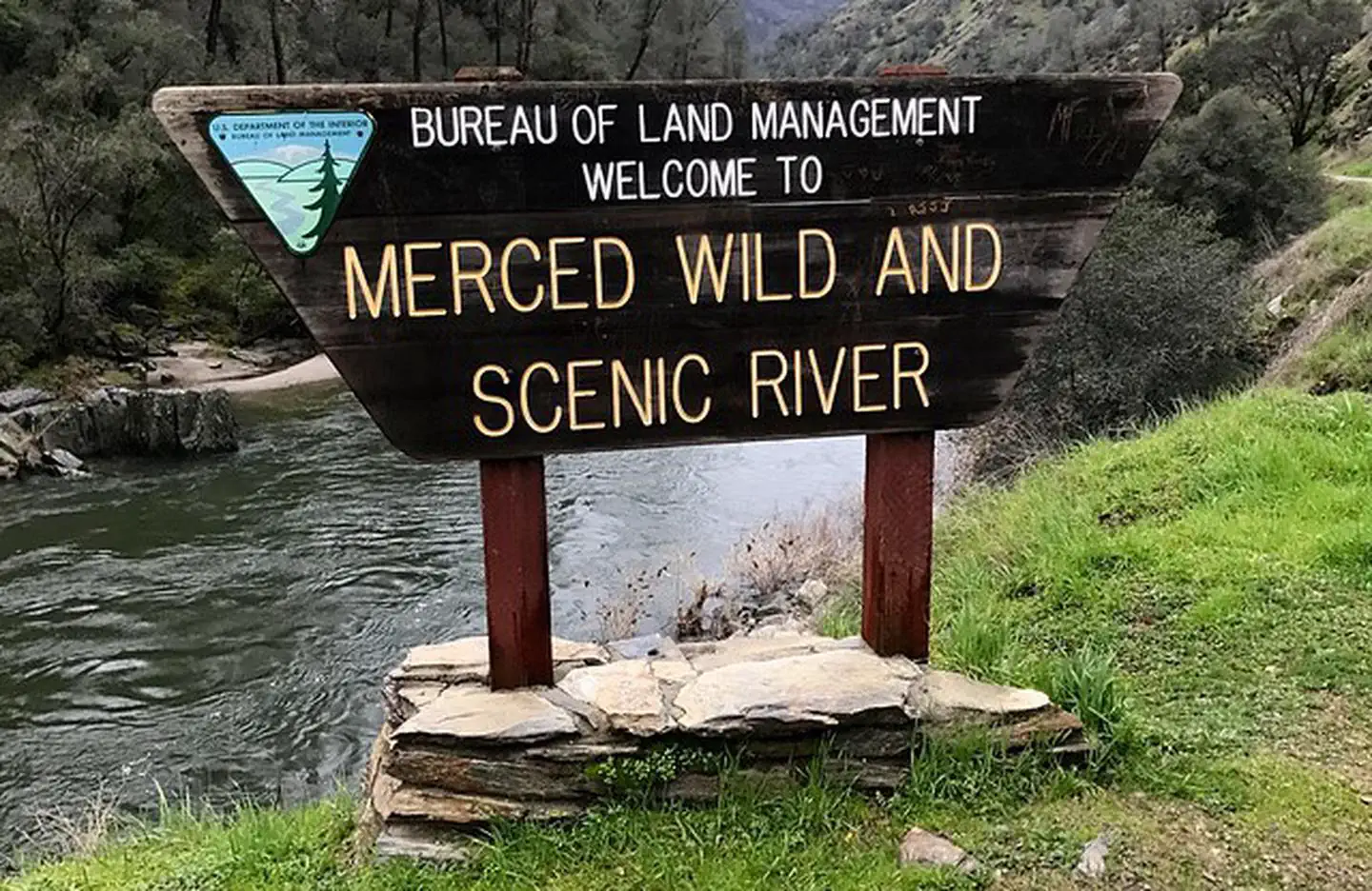
Merced River Recreation Management Area

NPS / Photos by David Greenwood, BLM
76/ 100WIDE RANGE
parkverdict Experience ScoreIndependent, not sponsored

76 of 100. Our independent breadth-and-access index. How we score

Our take

Is Merced River Recreation Management Area worth your trip?

The Merced River Recreation Management Area offers the Yosemite watershed experience without the national park crowds.

Located downstream from Yosemite in the California foothills, this undammed river corridor provides a rugged natural setting. Its activity score of 76 reflects genuine breadth: whitewater paddling, trout and bass fishing, hiking, gravel road biking, accessible swimming holes, wildlife watching, and recreational gold panning are all documented pursuits. This is not a single-attraction destination. It suits visitors seeking two or three days immersed in a dynamic river environment, rather than those focused on iconic vistas. The area maintains a rustic, low-infrastructure character. This is a significant draw for some, and a definitive deterrent for others anticipating extensive amenities.

Why go

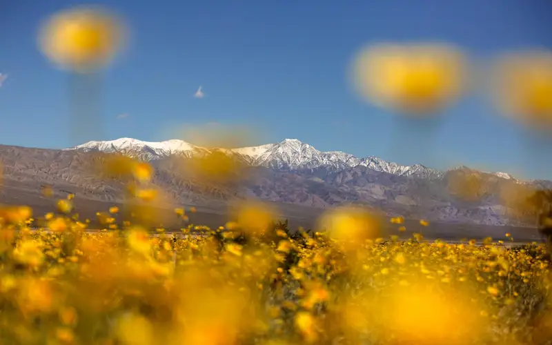
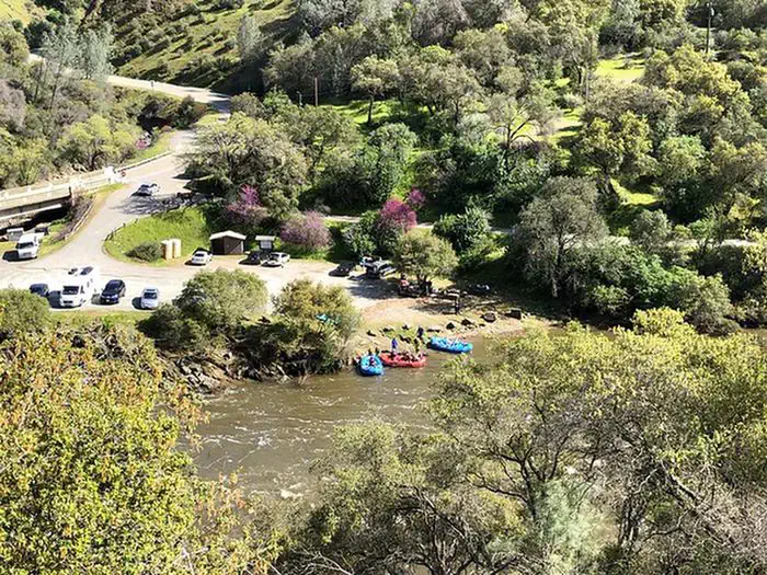
The Merced River defines this destination. From April through July, spring runoff transforms the Merced into legitimate whitewater. Commercial rafting outfitters, operating with BLM permits, make this accessible even without personal gear. Beyond high water, the river corridor invites swimming, fishing, and flatwater paddling. The Merced River Trail, extending downstream from Briceburg, offers hikers a shaded, cool riverside route, a contrast to exposed foothill terrain. Gravel roads throughout the canyon suit family bikers, while mountain bikers seeking mileage will find more demanding stretches. Bird watching remains consistent across most seasons. Spring brings a strong visual payoff in wildflower blooms. The combination of water and land activities within one compact corridor ensures consistent engagement.

Best for

This unit primarily serves paddlers, anglers, and river campers. Spring visits are optimal. It also functions as a low-key California foothills base camp near Yosemite, offering an alternative to fighting for valley campsites. Casual sightseers, or those expecting iconic scenery, interpretive programming, or paved trail networks, should seek other destinations. The data indicates a clear focus on river-based recreation and an uncrowded atmosphere.

Best season

Late April through July marks peak season, with snowmelt driving strong river currents ideal for whitewater paddling and prime wildflower viewing. Post-July, summer offers lower, warmer water, favoring swimming and fishing over dramatic paddling. Fall provides a quieter experience for hiking and biking, accompanied by lighter crowds. Winter access varies, subject to canyon road conditions.

The high points

  • Undammed whitewater paddling on the Merced from April through July, with commercial rafting options available
  • Fishing for trout and bass along the full river corridor
  • The Merced River Trail following the canyon downstream from Briceburg for riverside hiking
  • Accessible swimming areas usable across multiple seasons
  • Gravel road biking suitable for families and experienced mountain bikers
  • Recreational gold panning and prospecting, a genuinely rare activity among NPS units

Know before you go

The fluctuating entrance fees necessitate checking current costs with the BLM or NPS. This unit functions as a river corridor, lacking a central visitor hub. Services are dispersed. Some facilities are basic. For spring paddling, booking a permitted commercial outfitter in advance is essential; slots fill quickly.

One more thingWhen Yosemite Valley campgrounds are full, the Merced River Recreation Management Area offers a strong alternative. Located directly downstream, it shares the same watershed. Visitors can camp, fish, and paddle the Merced River. It serves as a legitimate base for day trips into the park.
How we scored it

Behind the 76

The number is not a mood. It is a few things we can actually check in public records, added up and capped so no single one runs away with the total. It tracks how much a place has going on and how easy it is to reach, and nothing about scenery or crowds. Here is what added up to 76:

  • Activity breadth11 documented activities
  • Topic breadth0 topics
  • Official imagery5 public-domain images
  • Camping on sitedocumented
  • Entry costVaries

No number is hand-adjusted and no unit pays for placement. The full weights, the floor at 18 and a worked example are on how we score.

The honest limits

The honest blind spots

Read the score for what it is. It counts what a place documents and how reachable it is, and stops there. It will not tell you if a sunset floors you, if the crowds thin out by dusk, whether a washout closed your trail, or how a ranger tells the story. Plenty of quiet, focused spots score modestly and still win the weekend. Let the number rank what is on offer; let the verdict speak to the feel.

Things to do

What it offers

Accessible SwimmingBikingCampingFishingHikingPicnickingVisitor CenterWildlife ViewingDay Use AreaPhotographyPaddling
Overview

About Merced River Recreation Management Area

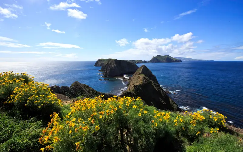
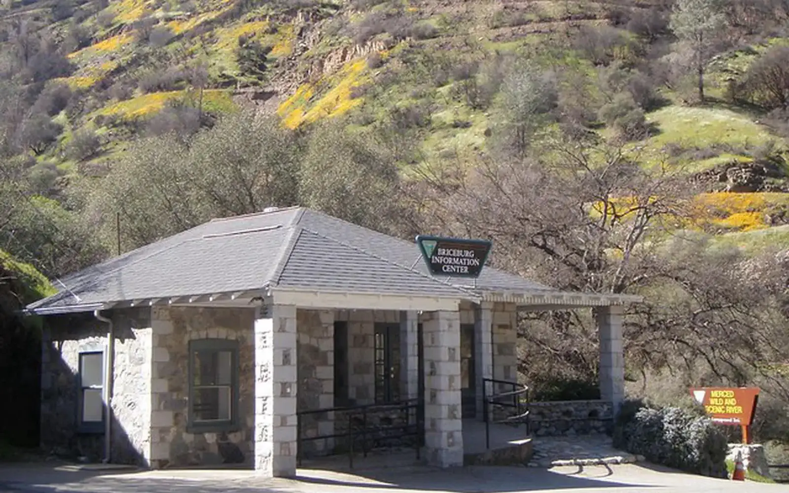
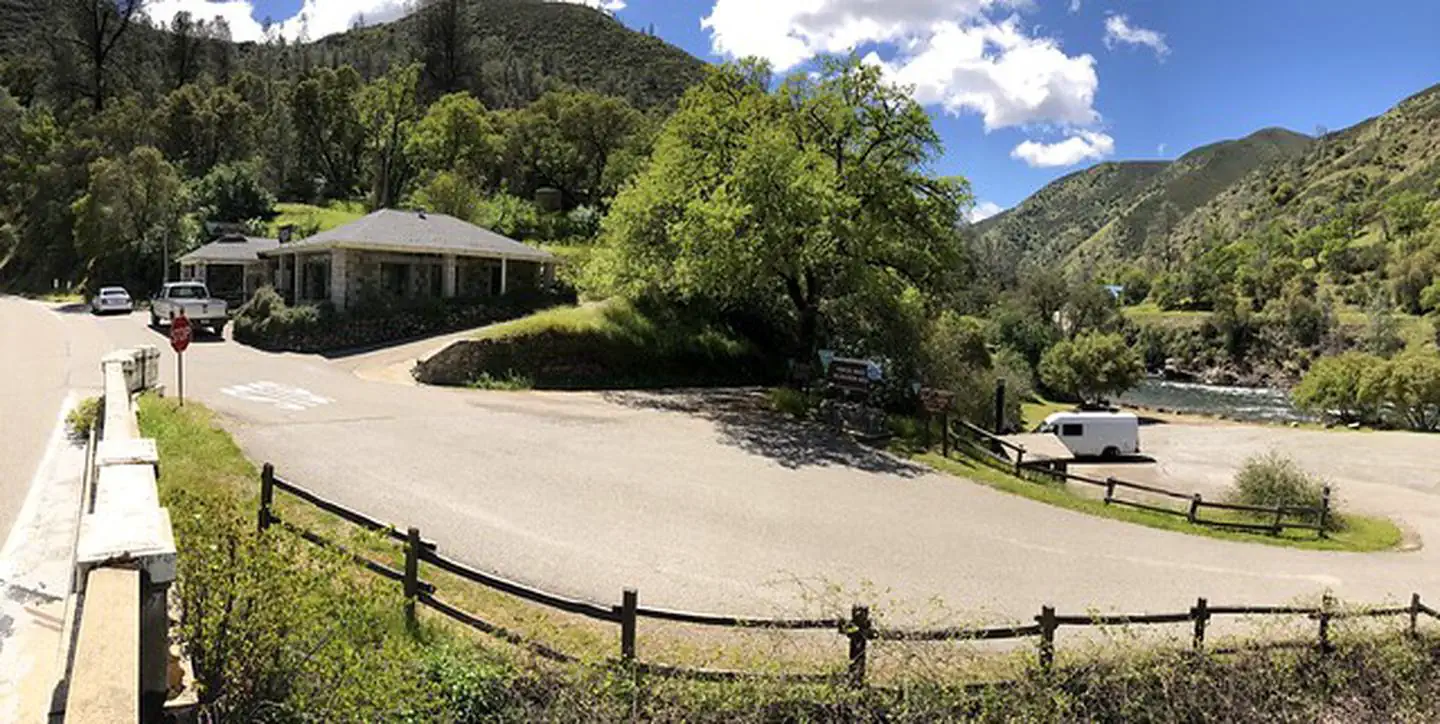
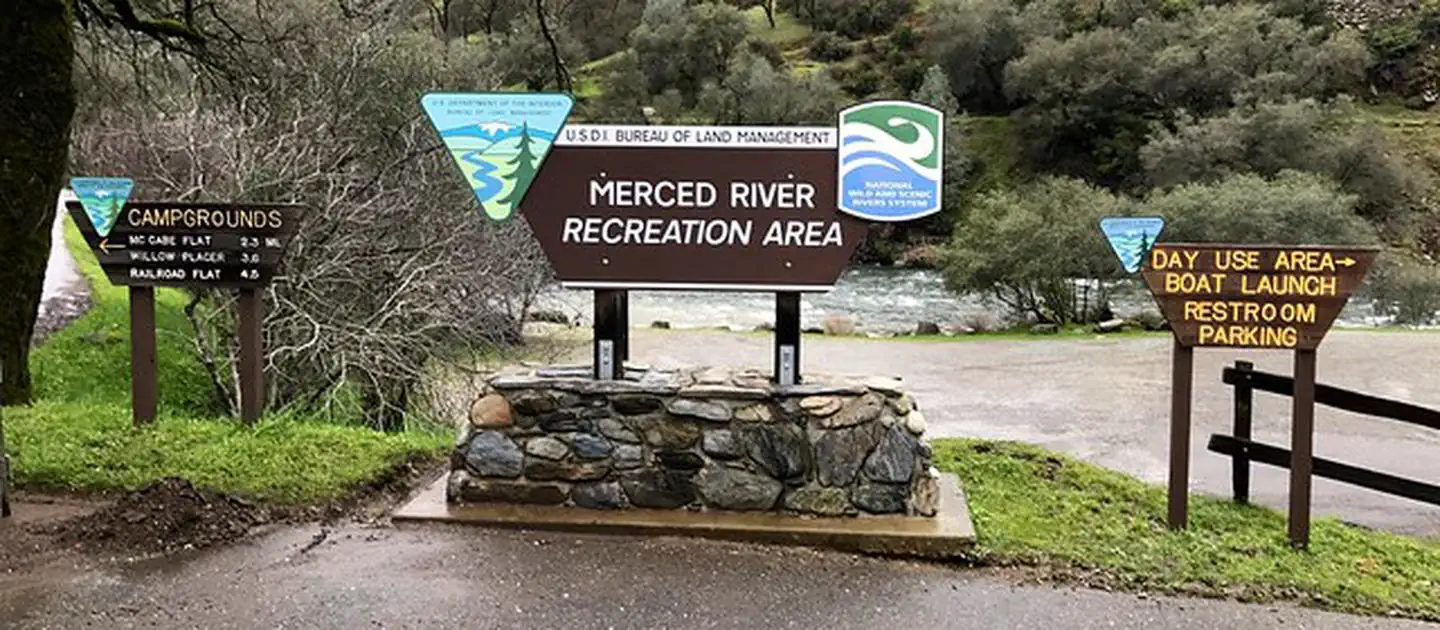
The Merced River Recreation Management Area sits downstream from Yosemite. It offers whitewater boating, wildflower viewing, camping, swimming, and gold panning. Bird watching is possible throughout most of the year. Trout and bass fishing occurs along the entire river. Biking on gravel roads and trails is popular for families and experienced mountain bikers. Hiking is an option year-round. Rafters and kayakers come during the spring runoff, from April through July, because of easy access, un-dammed flows, and excellent whitewater. Commercial rafting trips are available from BLM permitted outfitters. The Merced River Trail extends downstream from the end of the Briceburg River Road. It takes hikers or bikers to the North Fork of the Merced River and beyond. The Burma Grade road is another route for exploring on foot, bike, or in a high-clearance vehicle. This scenic backroad climbs steeply out of the Merced River Canyon. It eventually leads to the towns of Greely Hill or Buck Meadows (CA-120). Three developed BLM campgrounds are along the Merced River between Briceburg and Bagby. To reach them, cross the suspension bridge just past the Briceburg Visitor Center and head downriver along the unpaved road.

On documented breadth and access, Merced River Recreation Management Area ranks 21st of 45 park and public-land units we score in California.

Common questions

Merced River Recreation Management Area: quick answers

Is Merced River Recreation Management Area worth visiting?

The Merced River Recreation Management Area offers the Yosemite watershed experience without the national park crowds.

Is Merced River Recreation Management Area free to visit?

Not free. Getting in runs about Varies.

What is Merced River Recreation Management Area best for?

It leans hardest toward hiking, camping, water activities, wildlife watching, going by the 11 activities it actually documents.

When is the best time to visit Merced River Recreation Management Area?

Late April through July marks peak season, with snowmelt driving strong river currents ideal for whitewater paddling and prime wildflower viewing.

How is the Experience Score for Merced River Recreation Management Area calculated?

The 76 comes straight from public data on how much the place documents and how easy it is to reach, things like activities, topics, photos, camping and whether entry is free. It says nothing about scenery or how busy it gets.