589 units scored Refreshed on a schedule Independent, no sponsored rankings
Recreation AreaID
Lower Salmon River
NPS / Recreation.gov
66/ 100GOOD RANGE
parkverdict Experience ScoreIndependent, not sponsored
66 of 100. Our independent breadth-and-access index. How we score
Our verdict
Should you visit Lower Salmon River?
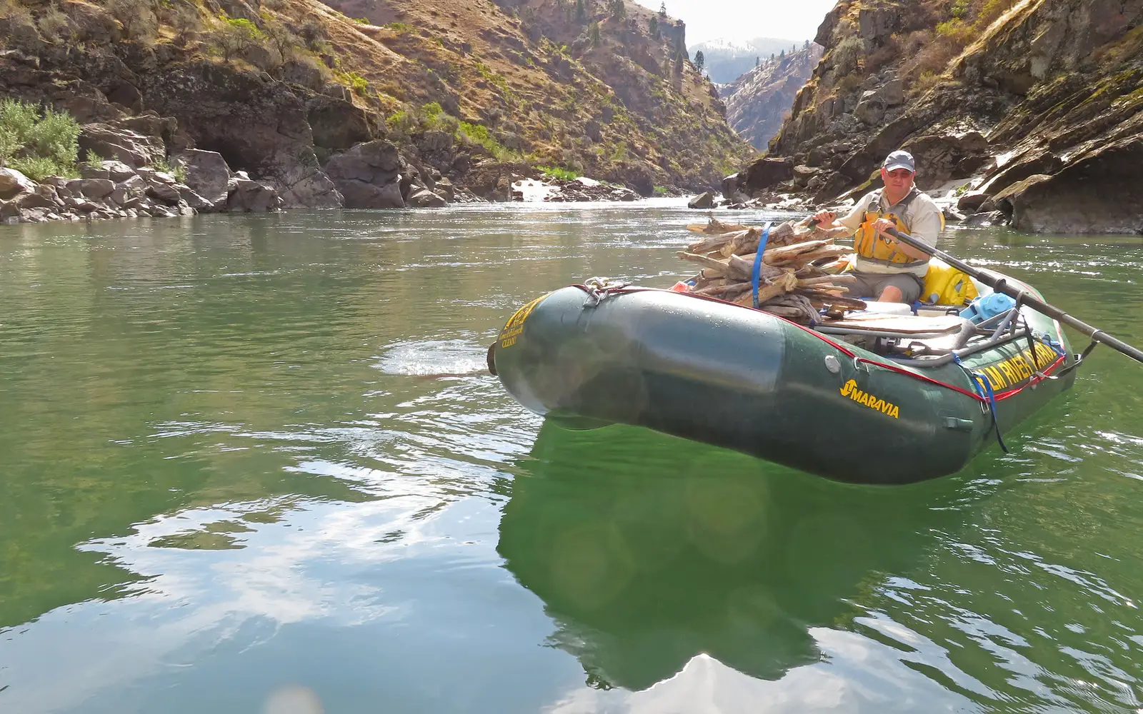
The Lower Salmon River Recreation Area offers an authentic river country experience, centered on one of the longest free-flowing waterways in the lower 48 states.
This is not a groomed park featuring visitor centers or ranger talks. Instead, it is a wild stretch of Idaho water where the current, canyon walls, and your own paddling dictate the agenda. For those seeking this kind of immersion, the area performs well beyond its modest experience score. Visitors expecting developed infrastructure may find it an unfinished destination.
Who should go
This destination caters to self-sufficient visitors. Paddlers, anglers, and river campers will find it ideal for multi-day floats or casual put-ins, free from crowds. OHV riders and picnickers also have designated access. Those seeking guided interpretation, accessible trails, or structured programming will be disappointed.
Highlights
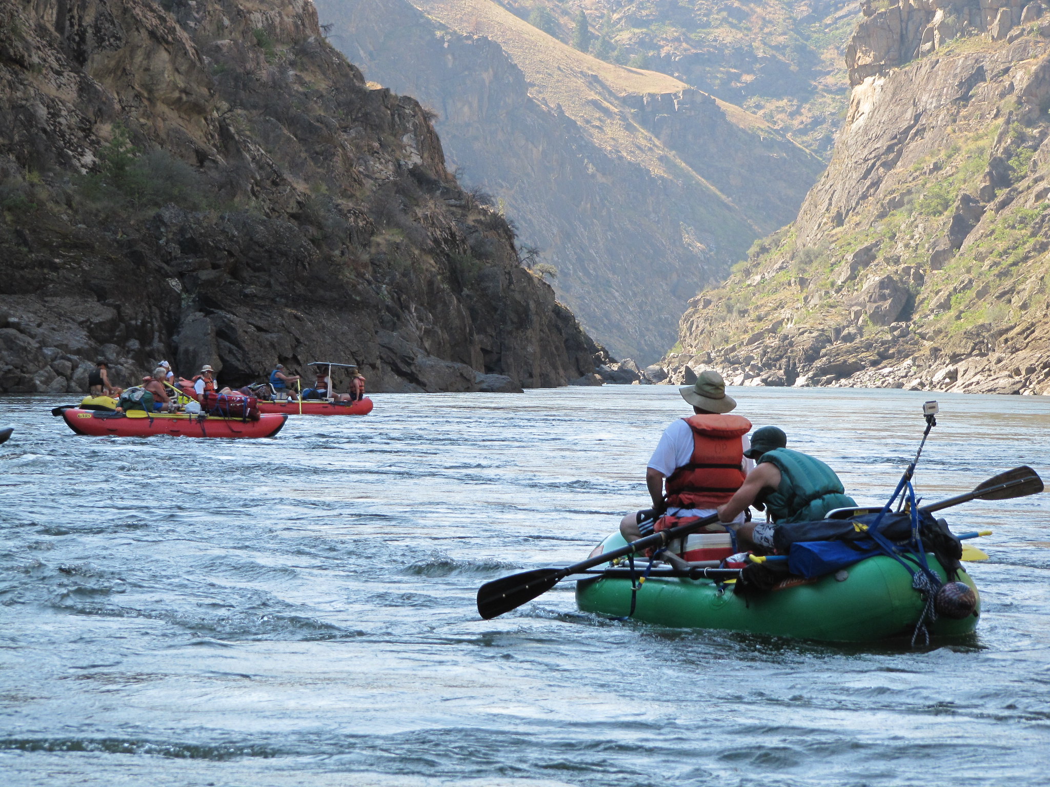
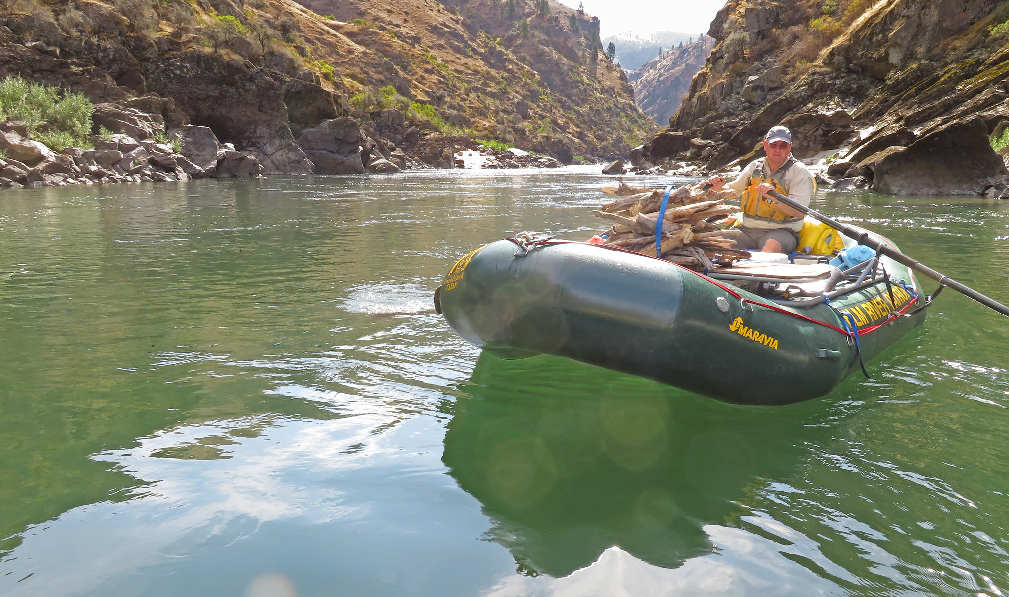
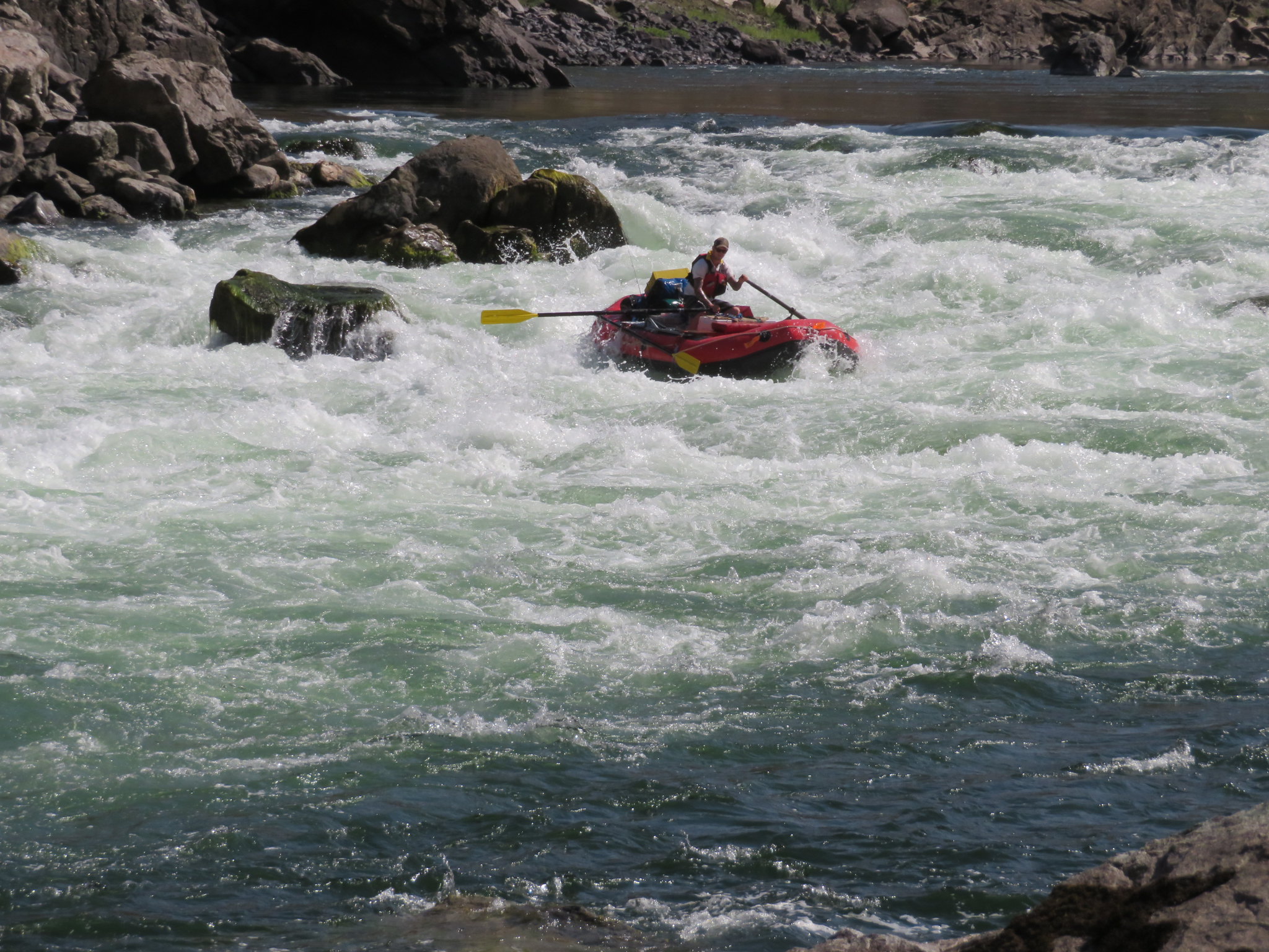
Paddling and boating on a free-flowing river that has carved the second deepest canyon in North America
Fishing a 425-mile river system fed by snowmelt from multiple Idaho mountain ranges
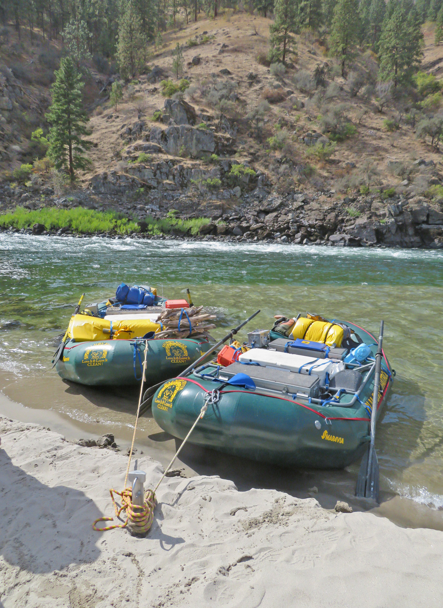
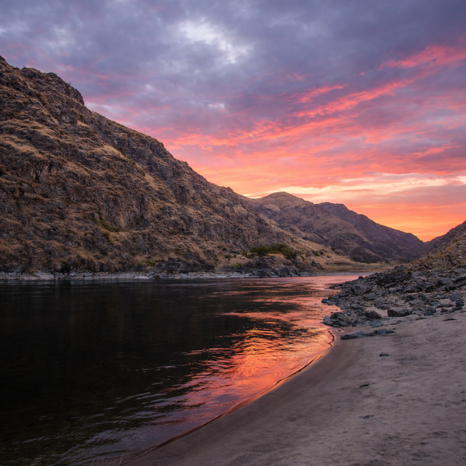
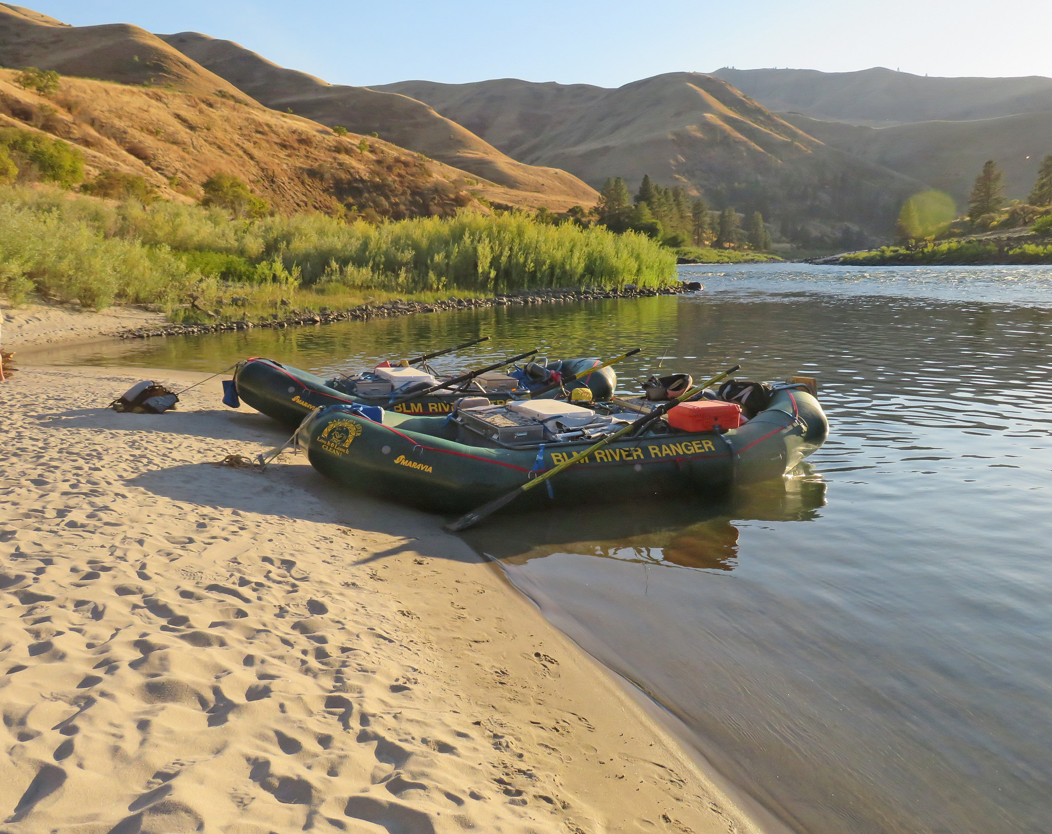
Riverside camping inside a dramatic canyon corridor with genuine backcountry feel
OHV access that opens canyon-edge terrain beyond what foot traffic alone can reach
Editor's tipThe Lower Salmon is not a casual float. Water levels fluctuate significantly; spring runoff offers a thrilling paddle, while late summer can mean extensive dragging. Confirm current conditions with the Cottonwood BLM field office before any trip. Entrance fees also vary by site and season. This is a journey that demands preparation and flexibility.
How we scored it
Why Lower Salmon River scores 66
We keep the math boring on purpose. The same handful of public-data inputs, capped so none of them dominates, decide every score. What they measure is breadth and access, not beauty and not crowd levels. For Lower Salmon River, they shook out like this:
Activity breadth8 documented activities
Topic breadth0 topics
Official imagery6 public-domain images
Camping on sitedocumented
Entry costVaries
No number is hand-adjusted and no unit pays for placement. The full weights, the floor at 18 and a worked example are on how we score.
The honest limits
What the number leaves out
Worth saying plainly: this number only knows what the data shows, which is breadth and access. It has no idea whether the scenery is jaw-dropping, whether the lot is a zoo in July, what shape the trails are in, or how good the guided walks are. So do not read a lower score as a worse day out. A focused little site can beat a big all-rounder for the right person. Compare the numbers for what is on offer, then read the verdict for who each place actually suits.
Background
The short version
The Salmon River, at 425 miles, is one of the longest free-flowing rivers in the lower 48 states. It originates as a small stream at about 8,000 feet in the Sawtooth and Whitecloud Mountains of central Idaho. The river flows northeast and then west, gaining volume from snowmelt in the Sawtooth and Salmon River Mountains to the south, and the Clearwater and Bitterroot Mountains to the north.
About 150 miles into its westward journey, the Salmon River has carved North America's second-deepest canyon. This canyon effectively divides Idaho. The Lower Salmon River section starts at Vinegar Creek, 25 miles upstream from the town of Riggins. From Riggins, the river turns north and then west for 87 miles until it joins the Snake River. The Salmon and Snake rivers then merge and flow into the Columbia River, ultimately reaching the ocean.
The Salmon River's drainage area covers approximately 13,550 square miles, entirely within Idaho's borders. The river features "pool and drop" sections, with challenging rapids found in its narrow canyons. White sand beaches are common, providing campsites. This river remains free-flowing. The Snake River flows for 20 miles from its confluence with the Salmon River to the Heller Bar take-out, near the confluence.
On documented breadth and access, Lower Salmon River ranks 10th of 18 park and public-land units we score in Idaho.
The Lower Salmon River Recreation Area offers an authentic river country experience, centered on one of the longest free-flowing waterways in the lower 48 states.
Is Lower Salmon River free to visit?
Not free. Getting in runs about Varies.
What is Lower Salmon River best for?
It leans hardest toward camping, water activities, scenic drives, going by the 8 activities it actually documents.
How is the Experience Score for Lower Salmon River calculated?
The 66 comes straight from public data on how much the place documents and how easy it is to reach, things like activities, topics, photos, camping and whether entry is free. It says nothing about scenery or how busy it gets.
Reviewed by Irene A. Taranina, founding editor/Checked against official public data/Published /Updated /Independent, no sponsored rankings
Published by Mine Marketing LTD, an independent digital publisher. Not affiliated with the National Park Service.