parkverdict
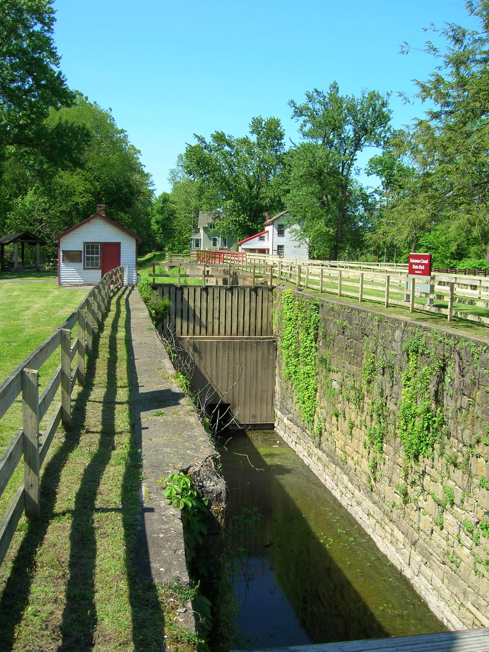
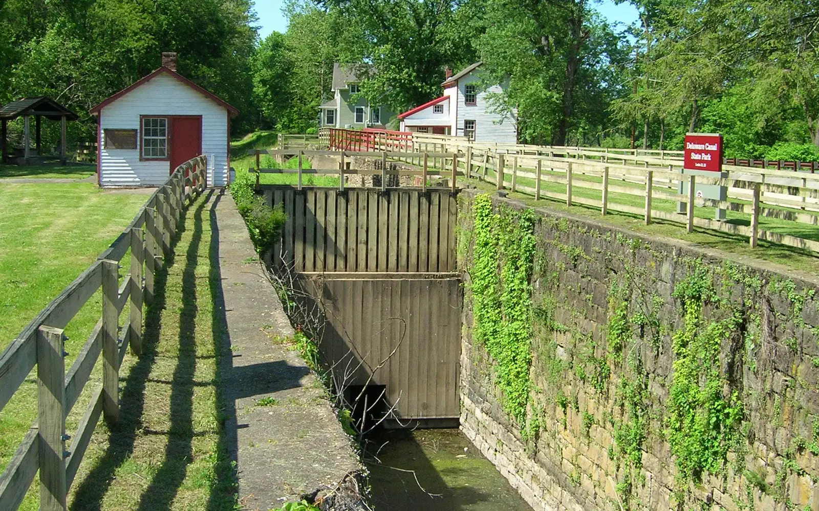
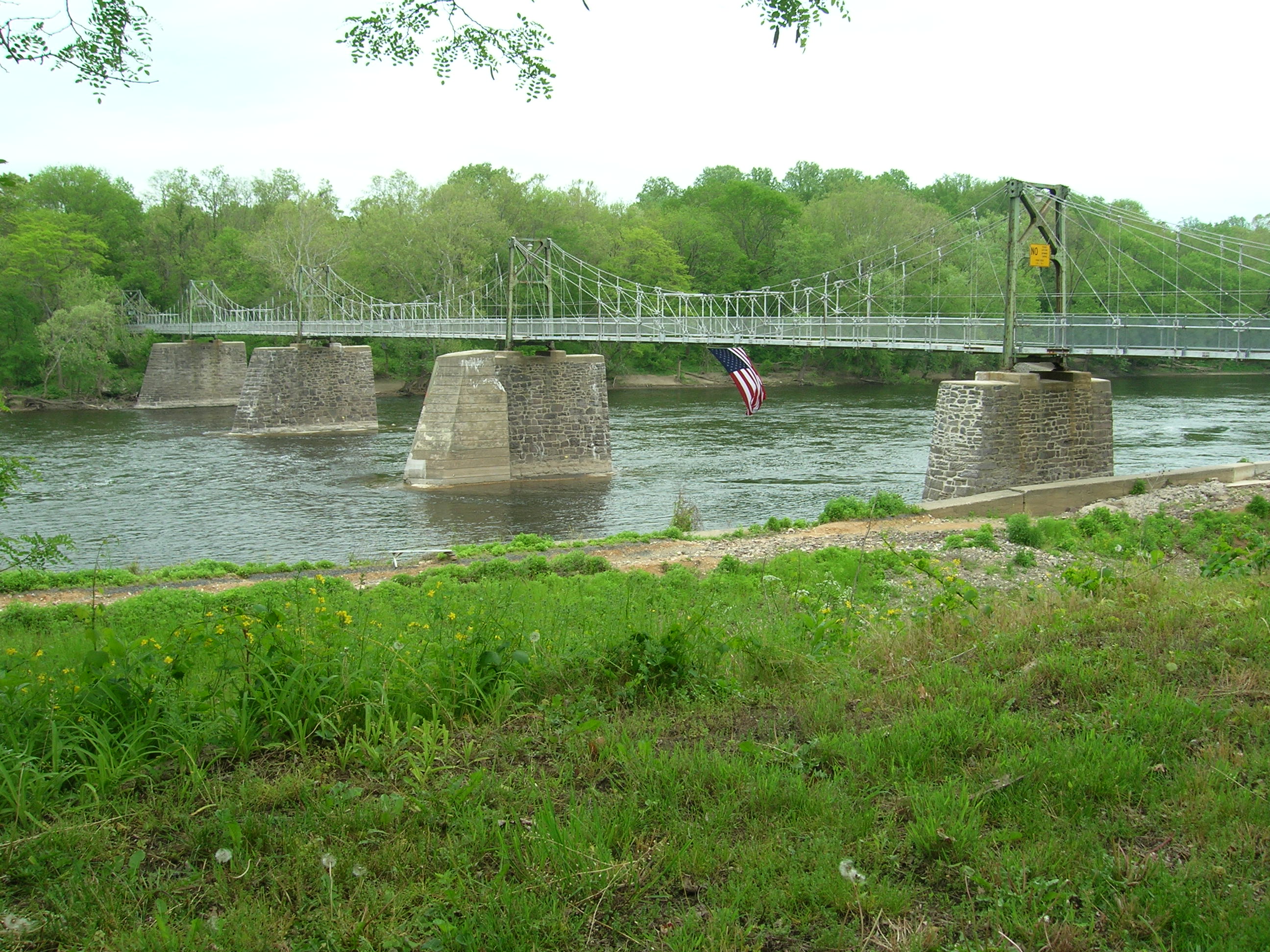
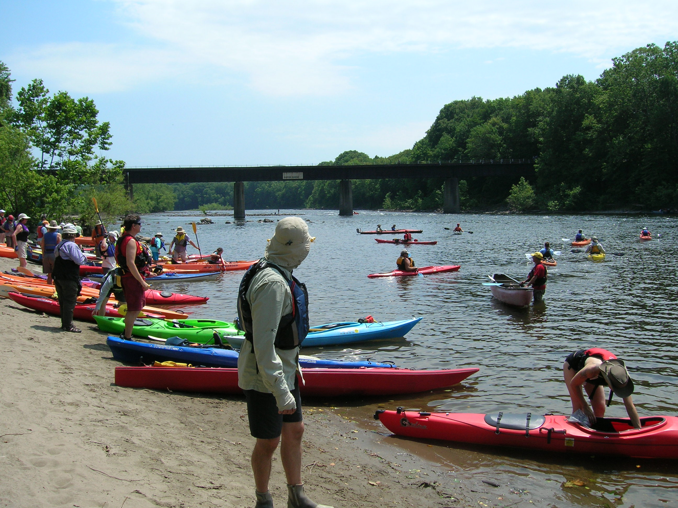
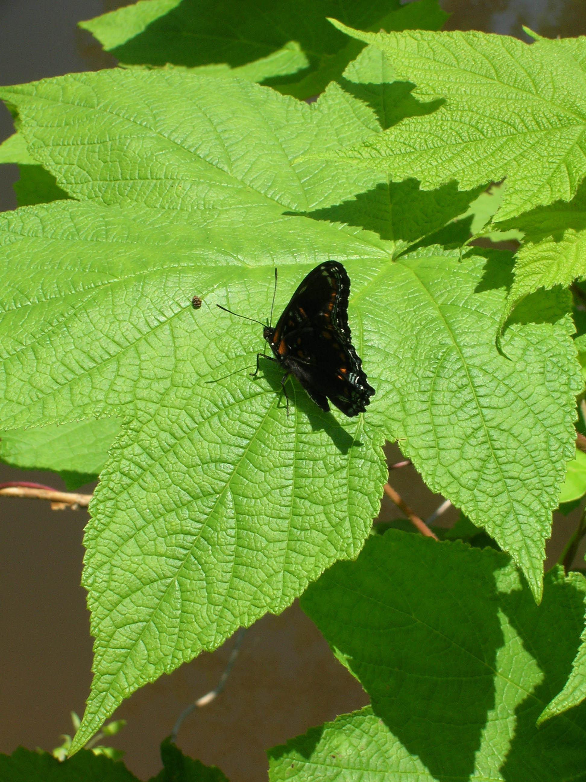
A rural boat lock with a gateAn old stone-pier bridge over a riverKayakers enter the river from a riverside beachbutterfly lands on a maple leaf
National Wild and Scenic RiverPA / NJ

Lower Delaware National Wild and Scenic River

NPS / NPS Photo/Julia Bell
76/ 100WIDE RANGE
parkverdict Experience ScoreIndependent, not sponsored

76 of 100. Our independent breadth-and-access index. How we score

The bottom line

Lower Delaware National Wild and Scenic River: our verdict

Lower Delaware National Wild and Scenic River has no gate, no parking lot with an "entrance" sign, no obvious starting point.

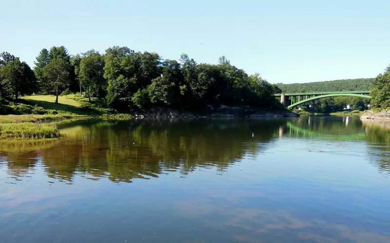
It is a living corridor along the largest free-flowing river in the eastern United States, winding through forests, farmland, and small river towns across Pennsylvania and New Jersey. What you can actually do here is genuinely varied: paddle a stretch of river, drive a scenic route through farm country, camp on the bank, or fish without spending a dollar. Because the corridor sits inside one of the most densely populated regions in America, it puts surprisingly wild-feeling recreation within reach of people who would otherwise have to drive much farther to find it. The 76 Experience Score reflects that breadth. This is not wilderness with a capital W, but it rewards visitors who show up with a plan rather than expecting a traditional park entrance and visitor center.

Why visit

The river makes its case from the first bend. Paddlers put in and drift past wooded banks and old river towns that feel genuinely cut off from the suburban density sitting just a few miles away. Anglers work the Delaware's well-documented fish populations without paying access fees. Families can pair a riverside picnic with the Junior Ranger Program, which gives kids a structured way into the natural and cultural history of the corridor. A drive along the Pennsylvania and New Jersey banks takes you past working farms, historic villages, and forested ridgelines - and if you time it for October, when the fall foliage peaks, that route is worth going out of your way for. Campers can use the corridor as a base for a multi-day river trip, stringing together nights along the water without ever leaving the unit. Paddling, camping, hiking, and family programming are all free and in one place, so a full weekend here is genuinely doable without much planning or expense.

Who it suits

Best for paddlers, anglers, and families looking for accessible river recreation without entrance fees. Also suits road-trippers who want to string together scenic driving, small river towns, and a picnic along a historically significant waterway. Less suited to visitors expecting a defined trailhead-and-summit experience or a single dramatic landmark to anchor their trip.

Timing your visit

Summer brings warm days that top out around 85 F, and the rain stays manageable. Fall is the most scenic stretch of the year, with foliage peaking sometime in October while temperatures still reach the low 80s before dropping sharply. Spring means higher, faster water, which experienced paddlers tend to prefer, though overnight lows near 26 F call for serious preparation. Winter conditions are not documented here, so plan conservatively.

What stands out

  • Paddling the largest free-flowing river in the eastern United States through a mix of forested and agricultural scenery
  • Fishing a federally protected river corridor with no entrance fee
  • Fall foliage scenic drives along both the Pennsylvania and New Jersey banks in October
  • Riverside camping as a base for multi-day paddling trips
  • Junior Ranger Program giving families a structured way to engage with the river's ecology and history
  • Picnicking at river access points that feel genuinely wild despite proximity to major metro areas

Good to know

Admission is free, but the river corridor runs through two states instead of sitting inside one enclosed park, so access points are scattered and take some research to track down before you arrive. You will need to find your own put-ins, campgrounds, and trailheads. There is no central visitor center. Check the NPS site for specific access points before you go, and confirm what each one actually offers, because facilities vary quite a bit from one area to the next.

Insider tipSpring and early summer are the best times to paddle this stretch, when water levels are up and the current actually moves. That said, check conditions with the NPS before you head out. The corridor covers a long distance, and what's true at one end can be completely different at the other.

How we scored it

Why Lower Delaware National Wild and Scenic River scores 76

We keep the math boring on purpose. The same handful of public-data inputs, capped so none of them dominates, decide every score. What they measure is breadth and access, not beauty and not crowd levels. For Lower Delaware National Wild and Scenic River, they shook out like this:

  • Activity breadth10 documented activities
  • Topic breadth13 topics
  • Official imagery5 public-domain images
  • Camping on sitedocumented
  • Entry costfree

No number is hand-adjusted and no unit pays for placement. The full weights, the floor at 18 and a worked example are on how we score.

The honest limits

Where the score goes quiet

One limit to keep in mind. Everything here comes from public records on what a unit documents and how reachable it is, so the score cannot judge beauty, crowds, trail conditions, weather, or how good any single program is. That is exactly why a small, specific place can score below a sprawling park and still be your better trip. Take the number as a like-for-like look at what is on paper, and lean on the verdict for the human read.

What you can do

Activities

Auto and ATVScenic DrivingBoatingCampingFishingFoodPicnickingHikingPaddlingJunior Ranger Program
Background

The short version

The Delaware River is the largest free-flowing river in the eastern United States, winding past forests, farmlands, and small villages before reaching some of the most densely populated corridors in the country. In 2000, key segments of the lower Delaware were added to the National Wild and Scenic River System, which made them a unit of the National Park System.

On documented breadth and access, Lower Delaware National Wild and Scenic River ranks 10th of 22 park and public-land units we score in Pennsylvania.

What the seasons are like

Spring nights can dip to 26 F while afternoons push up to 80 F, and the season gets about 5 inches of rain spread fairly evenly through it. Summer is milder in terms of daily swings, with nights hovering near 55 F and afternoons reaching 85 F on roughly 4 inches of rainfall. Fall runs from 30 F lows to 83 F highs, and those sharp temperature shifts in the mountains are what drive the leaves to peak color, usually sometime in October.

Common questions

Lower Delaware National Wild and Scenic River: quick answers

Is Lower Delaware National Wild and Scenic River worth visiting?

Lower Delaware National Wild and Scenic River has no gate, no parking lot with an "entrance" sign, no obvious starting point.

Is Lower Delaware National Wild and Scenic River free to visit?

It is free to get in.

What is Lower Delaware National Wild and Scenic River best for?

It leans hardest toward hiking, camping, good with kids, water activities, going by the 10 activities it actually documents.

When is the best time to visit Lower Delaware National Wild and Scenic River?

Summer brings warm days that top out around 85 F, and the rain stays manageable.

How is the Experience Score for Lower Delaware National Wild and Scenic River calculated?

The 76 comes straight from public data on how much the place documents and how easy it is to reach, things like activities, topics, photos, camping and whether entry is free. It says nothing about scenery or how busy it gets.