Is Lake Roosevelt National Recreation Area worth it?
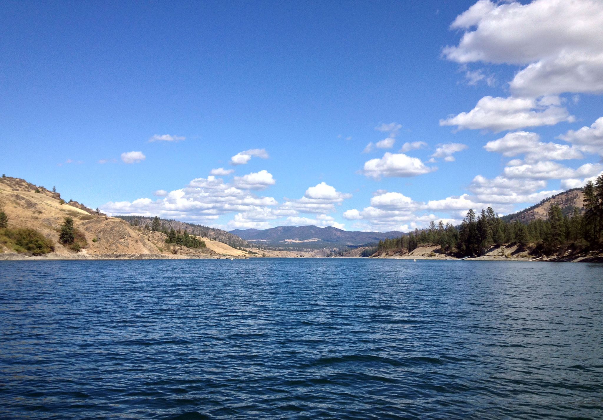
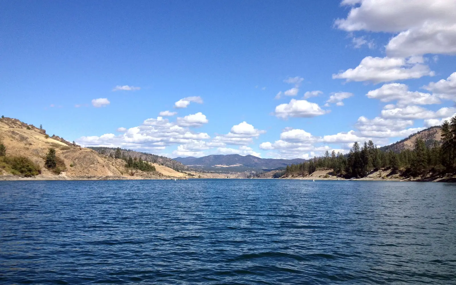
Lake Roosevelt is a 150-mile-long reservoir in northeast Washington, an expanse backed by Grand Coulee Dam and canyon walls shaped by Ice Age floods.
This is not a manicured park with a single iconic viewpoint. It is a sprawling, free-access recreation area. The draw is time on or near the water, combined with genuine solitude. Most western national parks cannot offer this anymore. An experience score of 97 reflects an unusually broad menu. Boating, kayaking, camping, fishing, hunting, stargazing, hiking, and citizen science are all documented and accessible. History layers in, from Indigenous heritage to dam-era settlement. For crowds, concession stands, and a postcard view, look elsewhere. For a long summer weekend with a boat or kayak, a waterside campsite, dark skies, and minimal entrance fee friction, this is one of the better-kept secrets in the Pacific Northwest.
The case for it
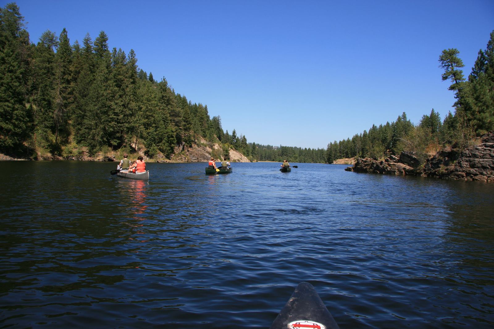
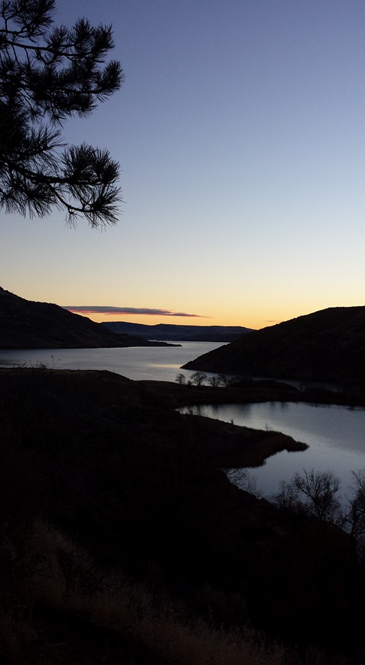
This unit delivers a clear mandate for water-based recreation. Its expansive reservoir accommodates motorized and non-motorized craft alike, mitigating congestion. Kayak campers, in particular, benefit from dispersed shoreline sites, enabling multi-night excursions that achieve genuine remoteness despite open access. Angling for freshwater species is a popular pursuit. On land, the canyon topography presents compelling front-country hiking, showcasing dramatic geological formations from Ice Age floods. After dark, its distance from urban centers and the clear desert air establish it as a premier stargazing location in Washington. Structured educational programming, including a Junior Ranger program and museum exhibits, serves families effectively. For repeat visitors, citizen science and volunteer vacations offer opportunities for deeper engagement.
Who it is for
Lake Roosevelt delivers most for boaters, kayak campers, anglers, and families road-tripping through eastern Washington. The free, flexible, uncrowded access to a significant water environment is a primary draw. Those interested in dam-era history and Indigenous Columbia River narratives will find substantial offerings. However, visitors seeking alpine scenery, extensive maintained trail networks, or a quick half-day highlight experience will find their expectations unmet.
Best time to visit
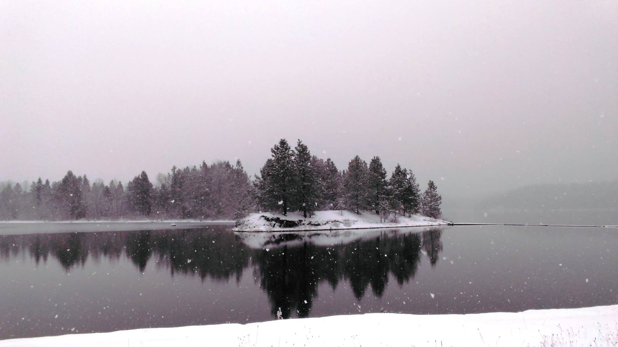
Summer offers the most favorable conditions, with clear skies, swimmable waters, and long daylight hours ideal for reservoir activities. Late June through August constitutes the peak period for boating and kayak camping. Spring and fall provide cooler temperatures and lighter crowds, appealing to anglers and stargazers willing to contend with changeable weather. Winter brings cold and overcast conditions, rendering most water-based recreation impractical. The landscape itself, however, remains accessible year-round.
Worth seeing
- 150-mile reservoir with room for motorized boating, sailing, and multi-day kayak camping
- Free entry with 24-hour access to a national recreation area at this scale
- Dark sky conditions that make stargazing a genuine draw in the high desert canyon setting
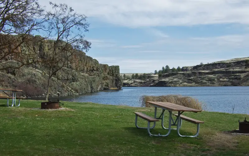
- Shoreline camping including canoe and kayak-accessible dispersed sites
- Freshwater fishing and hunting access within a federally managed area
- Museum exhibits and Indigenous and dam-era history woven into the recreation experience
Before you visit
Free admission, unusual for a unit of this size and amenity, immediately sets this park apart. With 150 miles of shoreline, advance planning for access points and boat launches is essential. Cell service is unreliable in canyon areas. Kayak campers must contact the park regarding dispersed site regulations and seasonal water level fluctuations due to dam operations. This requires
Our tipDam operations dictate the reservoir's seasonal water levels. This directly impacts the usability of boat launches and shoreline campsites. Before any multi-day paddling trip, consult current water elevation reports. Confirming these levels prevents planning around inaccessible ramps or high-and-dry campsites.