Should you visit Knoxville Management Area?
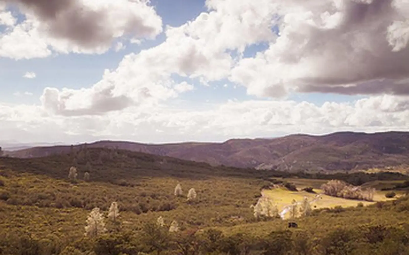
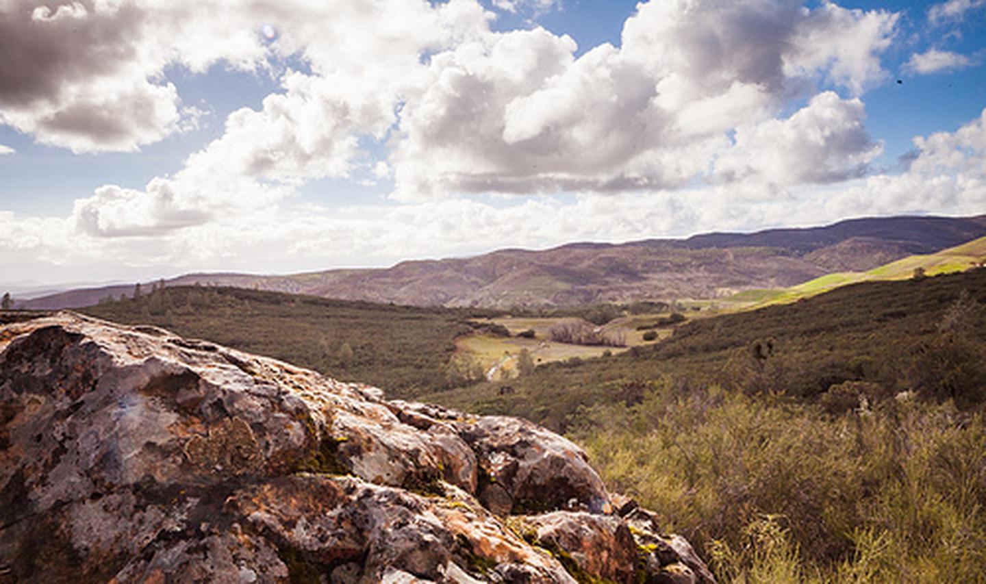
The Knoxville Management Area, a 17,700-acre expanse in California's inner Coast Range, offers diverse recreation.
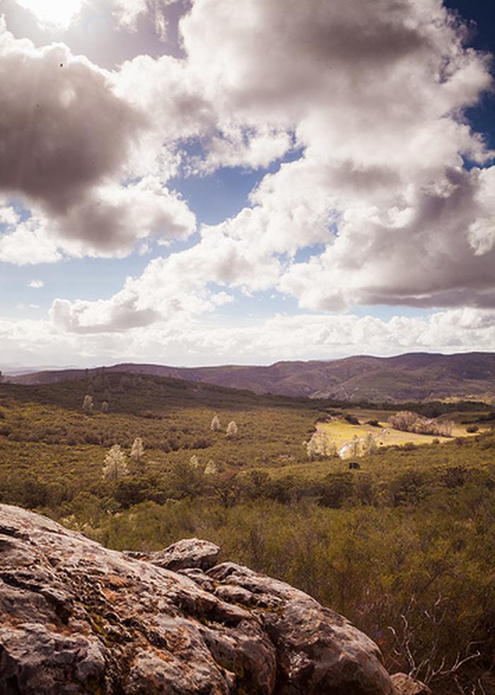
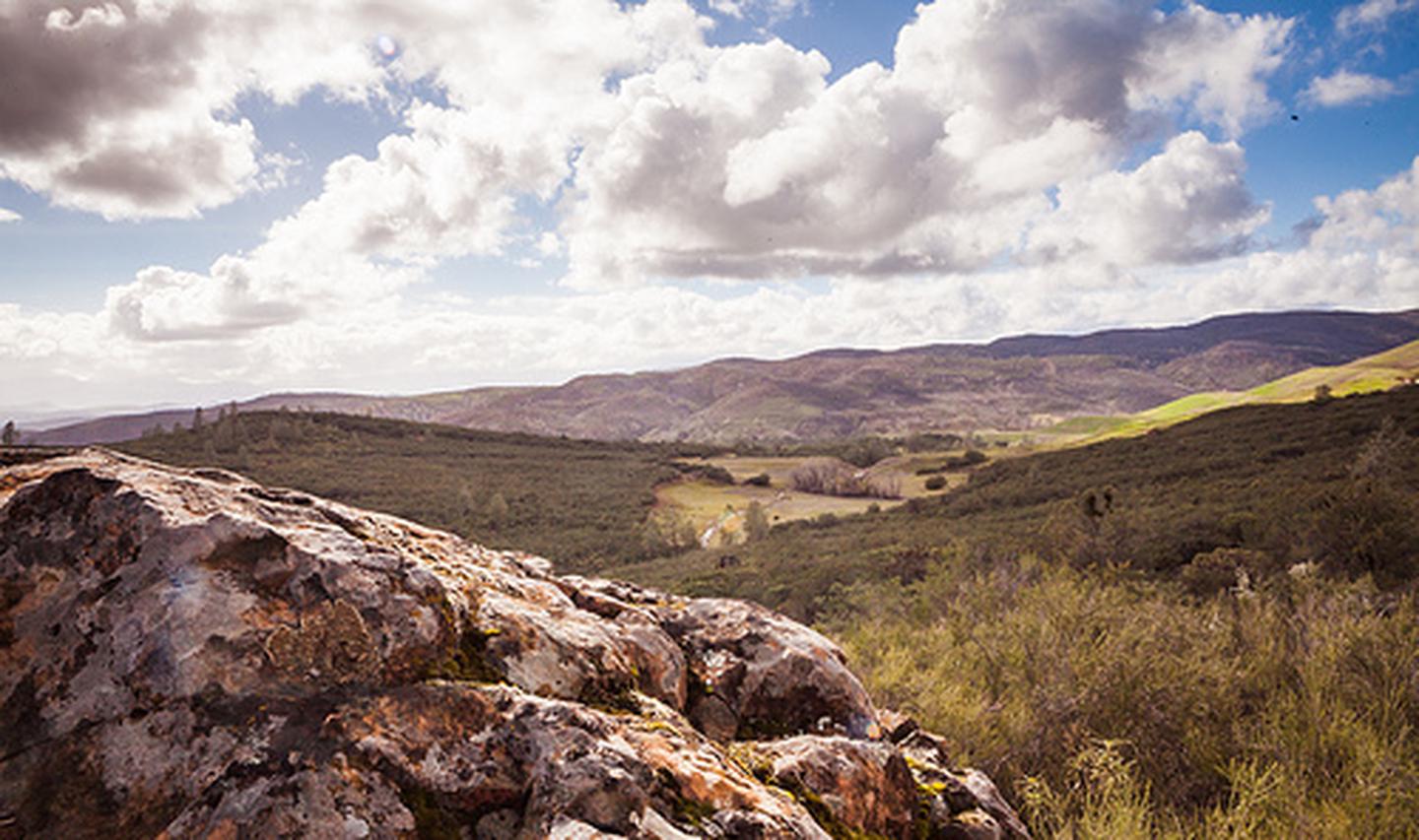
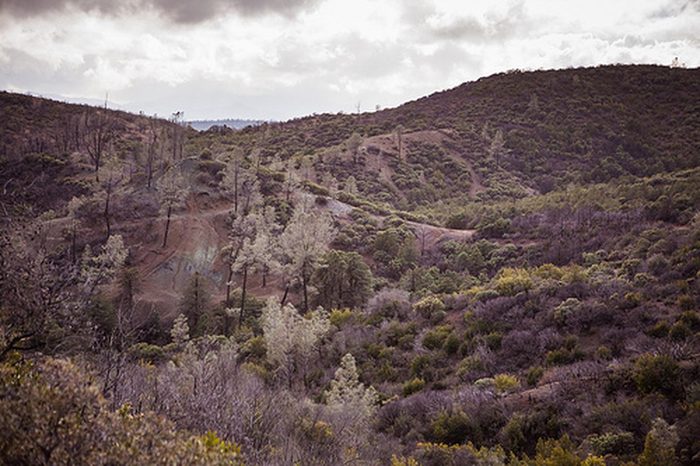
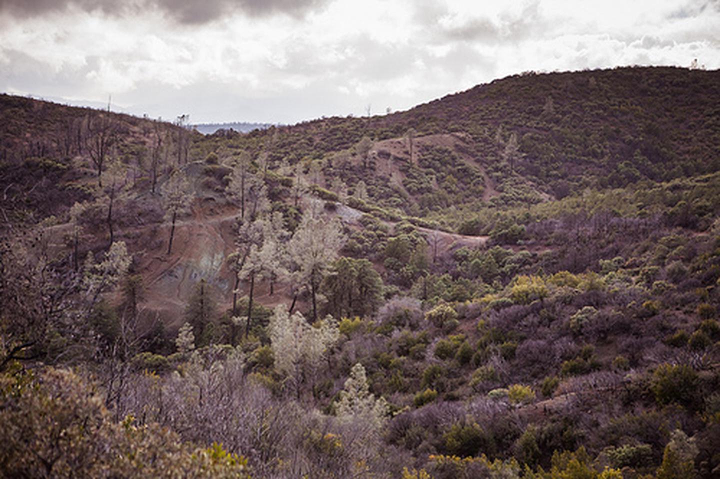
It is known primarily for off-highway vehicle (OHV) riding, yet its breadth of documented activities makes it suitable for extended visits beyond a single-sport focus. The topography shifts dramatically, from open grassy hills to dense chaparral and steep drainages. Botanical interest comes from California gray pine and the uncommon Macnab cypress. Serpentine barrens, closed to vehicles, support unique plant communities, appealing to naturalists. Fishing, hunting, hiking, biking, camping, and wildlife viewing are all established uses. This is not a manicured park. Expect a rugged recreation area. Weekends draw a substantial OHV crowd. For those within reasonable driving distance of Sacramento or the Bay Area, seeking free, multi-use public land, Knoxville presents significant value.
What makes it worth it
Knoxville presents a multifaceted outdoor experience, best appreciated by those ready to engage with its diverse offerings. The serpentine barrens, unique ecological zones, provide rare flora and genuine solitude for hikers and wildlife photographers, being explicitly closed to vehicular traffic. Anglers and hunters will find specific seasons and designated species for pursuit. Mountain bikers can navigate rolling, varied terrain across steep and open hills. For extended engagement, camping facilities support multi-day stays, allowing visitors to cycle through activities. Its accessibility to both the Sacramento and Bay Area metropolitan areas facilitates weekend excursions, with setup possible before dark on a Friday. Free entry underscores the value proposition for this varied landscape.
Who should go
This destination prioritizes off-highway vehicle enthusiasts. Infrastructure largely caters to their specific requirements. However, those seeking uncrowded public lands near the Bay Area or Sacramento will discover significant appeal. Hikers, mountain bikers, hunters, anglers, and wildlife photographers are well-served. Travelers anticipating groomed trails, dedicated visitor centers, or interpretive programs will be disappointed. The scale is the draw here.
When to go
Spring emerges as the optimal season. Green grasses and abundant wildflowers define the serpentine barrens. Temperatures remain mild in the inner Coast Range. Fall offers cooler conditions for riding, concurrent with hunting seasons. Summer presents challenges with heat, dryness, and elevated fire risk. Winter access proves limited due to wet, rutted roads on steeper terrain.
Highlights
- Serpentine barrens with rare, vehicle-free plant communities found almost nowhere else in California
- 17,700 acres of varied OHV terrain ranging from open grassland to steep chaparral drainages
- Camping as a multi-day basecamp for rotating through hiking, riding, fishing, and hunting
- California gray pine and Macnab cypress dispersed across the landscape for botanical interest
- Wildlife viewing and photography across a large, lightly developed acreage
- Free entry across all documented activities, including biking and fishing
Plan ahead
Entry remains free. As a management area, not a developed national park, facilities are limited. Expect rough or seasonally impassable roads after rain. Off-highway vehicle users must confirm current trail and access conditions before departure, particularly in winter or after storms. Hunting is permitted. Non-hunting visitors during active seasons should wear high-visibility clothing.
Editor's tipFor genuine quiet and a chance to experience the serpentine barrens in solitude, a weekday visit in late March or April is essential. This period avoids the weekend OHV rush. Rare plant communities are at their most visible. Foot traffic from non-OHV visitors is minimal. You may largely have the area to yourself.