Is Juan Bautista de Anza National Historic Trail worth it?
The Juan Bautista de Anza National Historic Trail presents a unique proposition.
It is not a singular destination but a 1,200-mile corridor extending from Nogales, Arizona, to the San Francisco Bay Area. This vast expanse threads through dozens of independently managed sites across two states. The visitor experience here is entirely contingent on the specific segment or site chosen. Some portions offer genuine backcountry for hikers and equestrians. Others are more suited to scenic drives or museum visits. The unifying narrative traces the 1775 to 1776 Spanish colonizing expedition led by Anza, which traversed the homelands of over 70 Tribal communities. This trail caters to those who appreciate complex, layered history and are prepared for pre-visit research. Casual visitors anticipating a cohesive park experience may find themselves disoriented.
The case for it
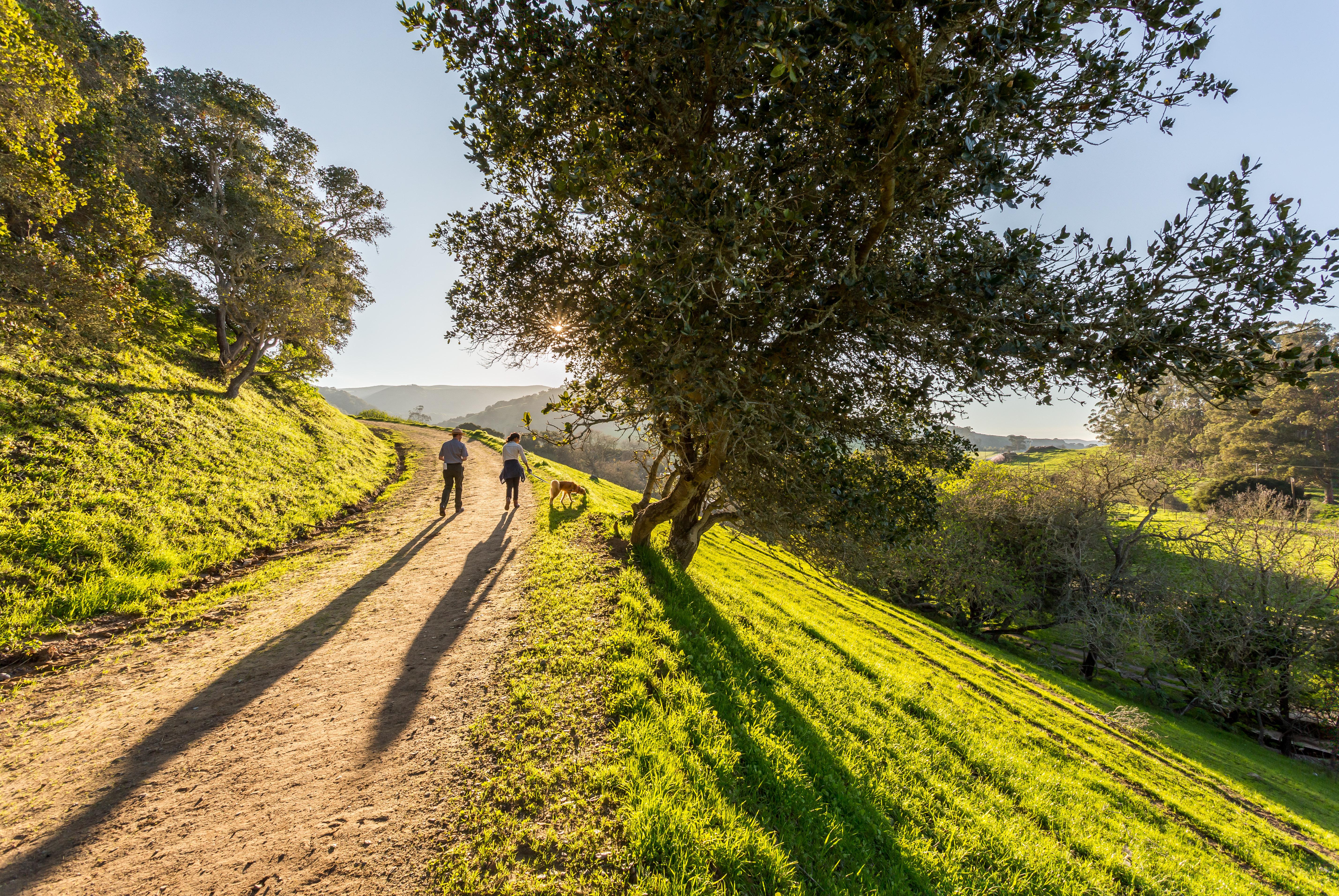
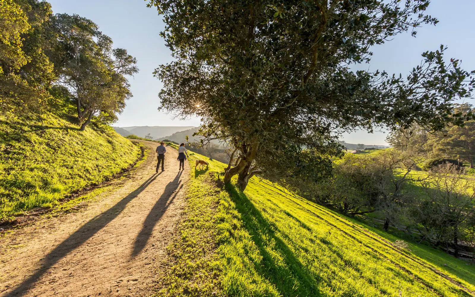
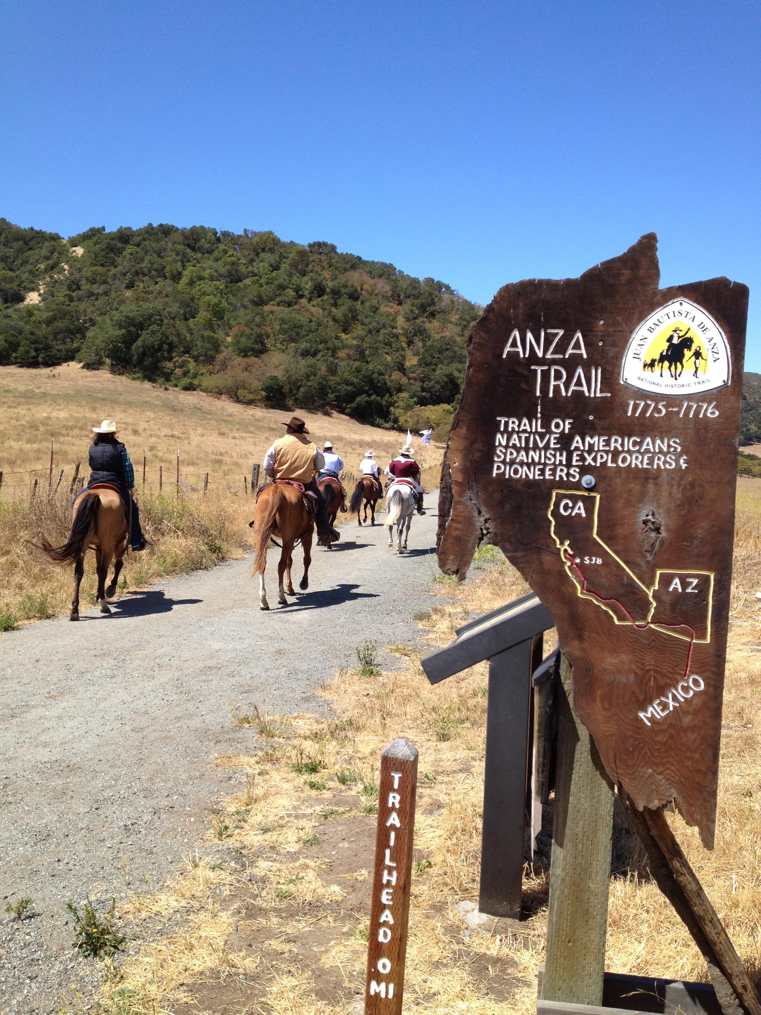
A good day on the Anza Trail is a planned day. Pick a specific segment and commit to it. Hikers and equestrians can follow portions of the original route through desert or coastal California landscapes. Road cyclists and mountain bikers have options depending on the segment. Living history events and reenactments, staged at various sites along the corridor, bring the 1775 expedition to life in a way that a roadside marker never could. Families can pursue the Junior Ranger program across multiple sites, turning a road trip along the trail into a structured, kid-engaging project. Scenic driving along the route itself connects missions, ranchos, and cultural landmarks that tell a story spanning Indigenous, Spanish colonial, and early American California history. The fact that it is free makes multi-site exploration genuinely affordable.
Who it is for
This park caters to a specific, history-focused visitor. Its greatest depth lies in Spanish colonial history and its complex ties to Indigenous communities. Road-trippers traversing Arizona and California will find a natural, engaging framework. Equestrians and families planning multi-day, multi-stop itineraries are particularly well served. Those expecting a singular trailhead experience, however, should seek other destinations.
Best time to visit
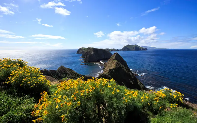
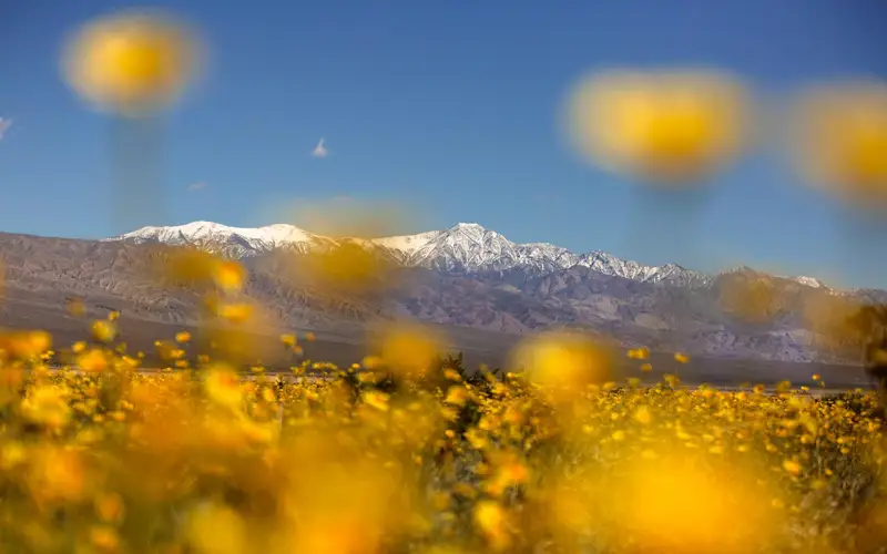
The 1,200 miles of this trail traverse two distinct climate zones, making timing critical. Desert sections in Arizona and Southern California are best in fall through early spring, avoiding extreme summer heat. Northern California segments, particularly near the Bay Area, remain accessible most of the year. However, winter months there bring significant wet and cold conditions. For many segments, spring offers mild temperatures and prolific wildflowers. Hikers must plan carefully.
Worth seeing
- Tracing a 1,200-mile Spanish colonial expedition route through two states entirely for free
- Living history events and reenactments staged at sites along the corridor
- Horseback riding and horse trekking on portions of the original historic route
- Multi-modal access including hiking, road biking, mountain biking, and scenic driving
- Junior Ranger program that can be pursued across multiple independently managed sites
- Engagement with the cultural history of over 70 Tribal communities whose homelands the trail crosses
Before you visit
This unit presents an unusual access challenge. There is no central visitor center or public entrance. Management of its disparate sites is independent, with varied hours and access protocols. Prior to any visit, identify your specific destination. Contact that site directly for current operational intelligence. Casual sightseers should look elsewhere.
Our tipDownload or order the NPS Anza Trail map before your trip and identify two or three anchor sites within a manageable driving range of each other. Treating it as a point-to-point sampler rather than a single destination is the only way to get real value from this trail.