Grand Canyon-Parashant National Monument: our verdict
Grand Canyon-Parashant National Monument offers true remoteness in the lower 48.
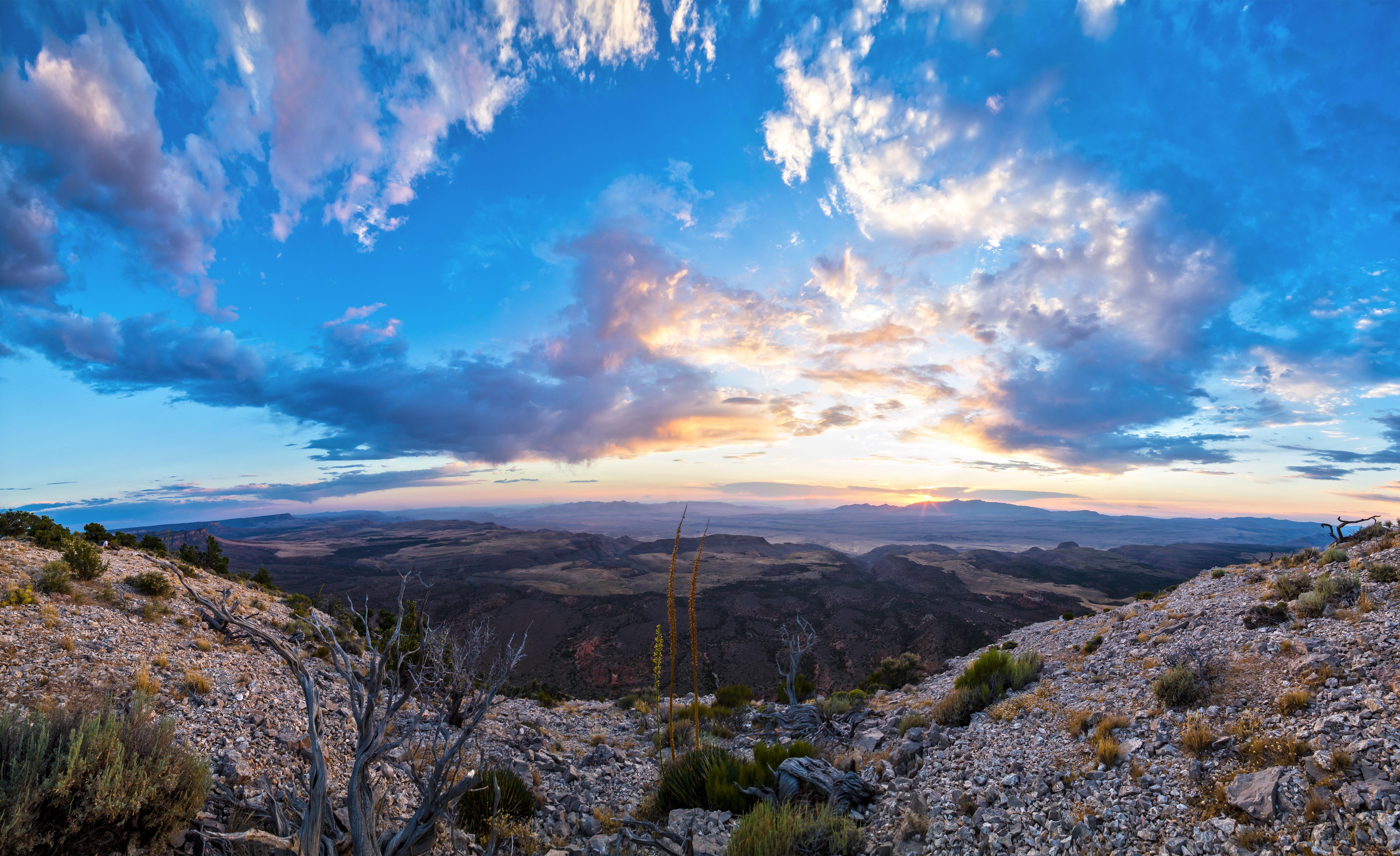
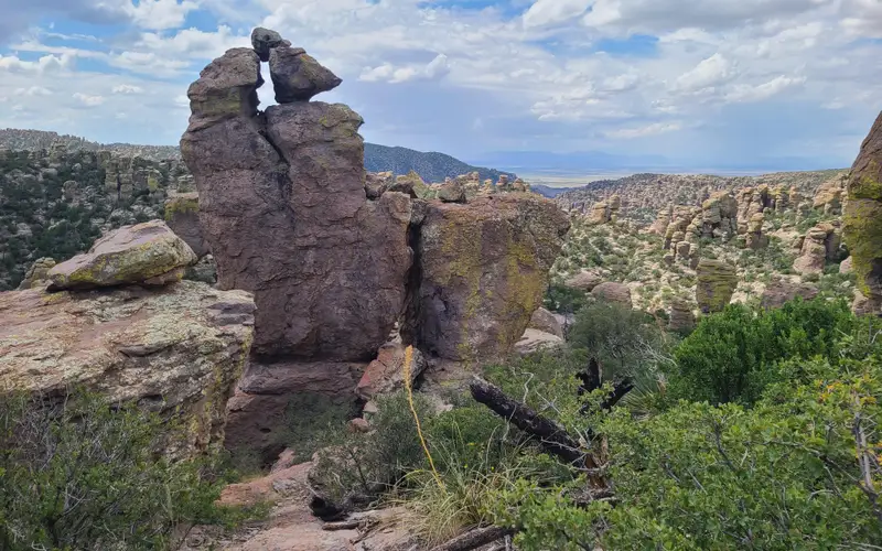
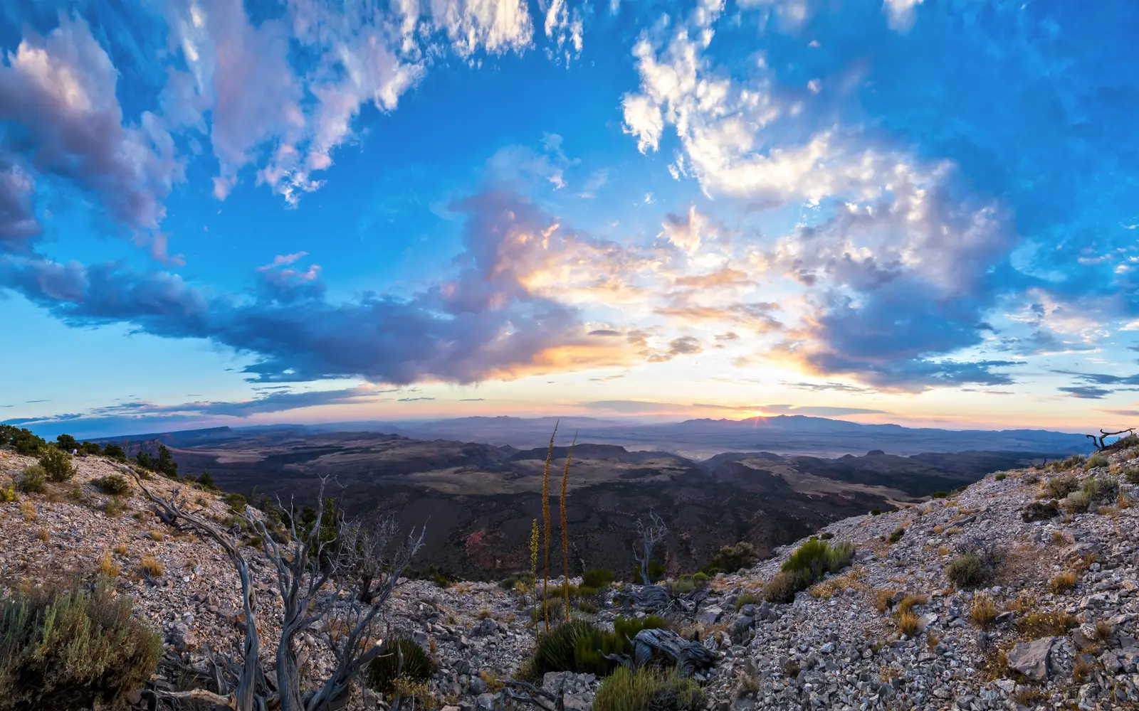
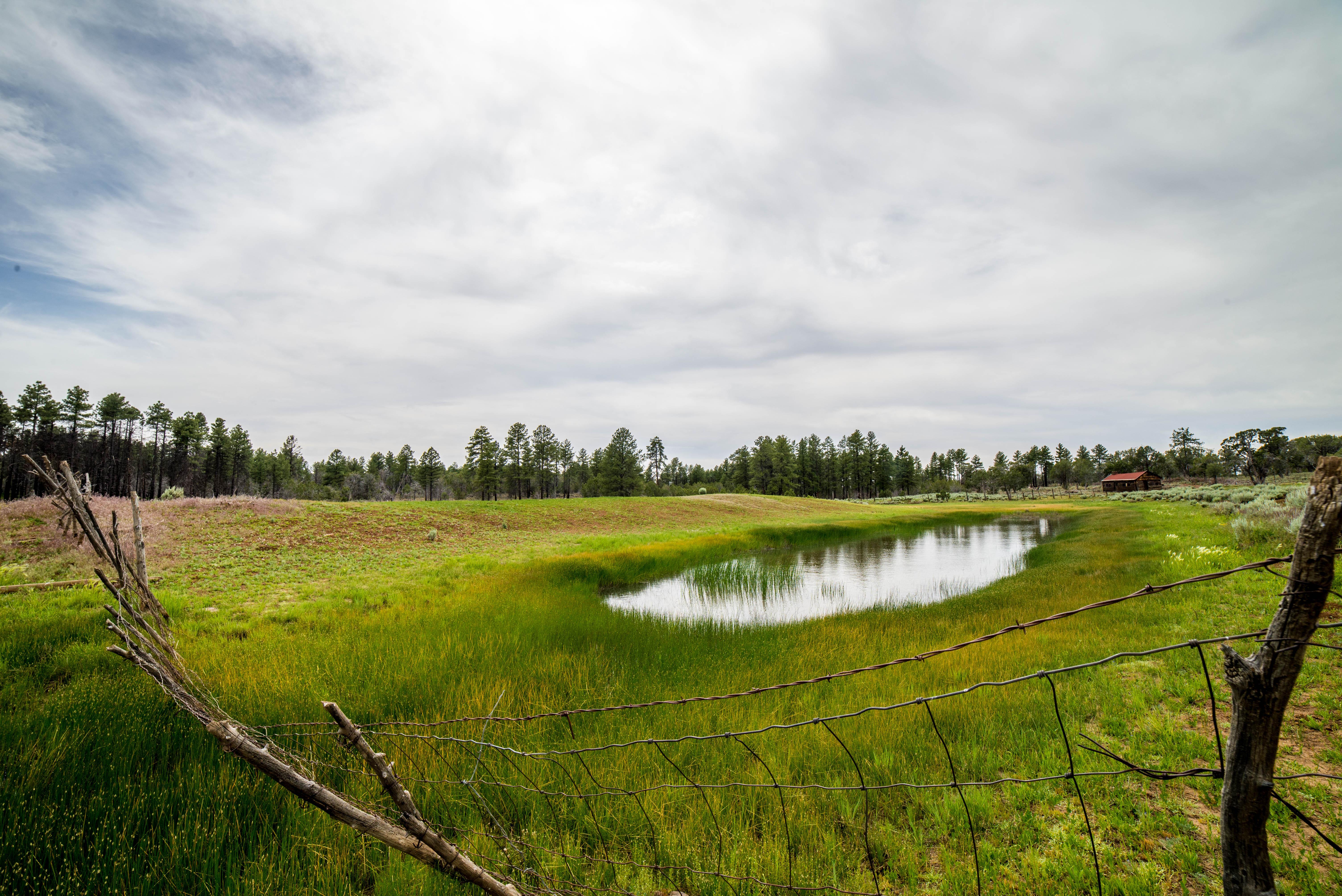
This vast northwestern Arizona unit spans two distinct ecosystems: the low Mojave Desert to the west and the pinyon-juniper-ponderosa highlands to the east. It provides zero facilities, no visitor centers, and no cell service. The experience is pure backcountry. Visitors must navigate rough roads, plan for water, and earn each vista. Solitude is not merely a concept here; it is the fundamental condition. For the self-sufficient adventurer, the dark-sky enthusiast, or those seeking the Colorado Plateau largely to themselves, Grand Canyon-Parashant is a legitimate destination. Casual sightseers expecting pavement, rangers, or amenities will find it a dangerous disappointment. The free entrance fee reflects the absence of infrastructure, not a lack of consequence for those unprepared.
Why visit
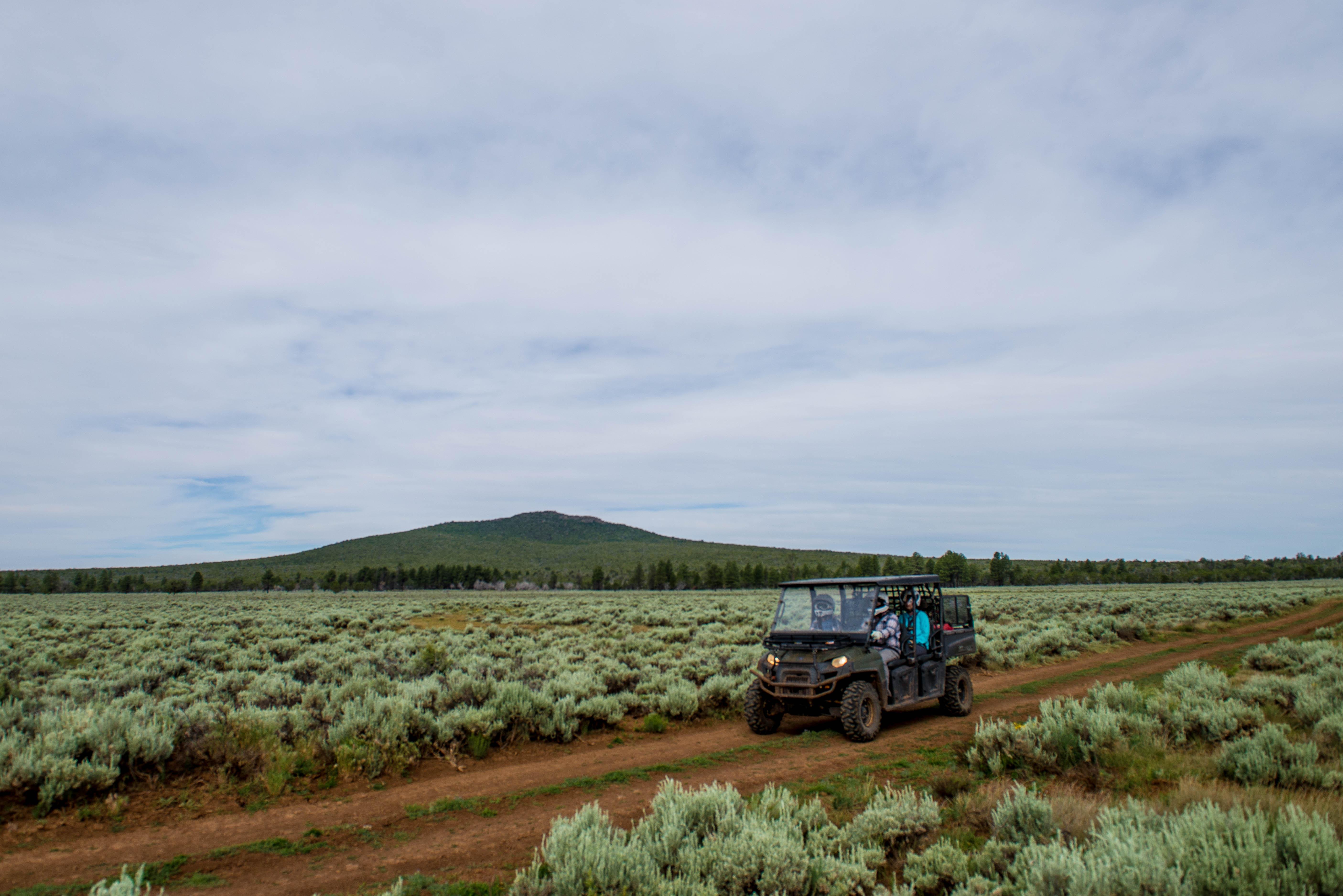
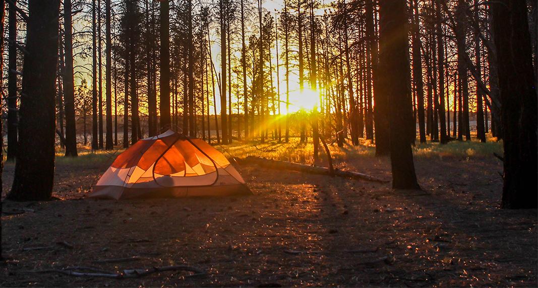
Parashant is a prime destination for specific visitors. Dark skies make it a premier location for stargazing and astrophotography; the Milky Way is often unobstructed. The monument offers genuine variety across two distinct landscapes: desert lowlands and forested eastern highlands. Backcountry hiking and camping are available in both. Scenic driving and ATV routes traverse a landscape that feels genuinely unexplored. Families with older, trail-ready children can engage with the Junior Ranger program. Be prepared: a high-clearance vehicle and a full water supply are essential before leaving paved roads. This monument offers a unique, uncrowded experience for those equipped to explore it.
Who it suits
This unit caters to a specific, self-reliant visitor. It is best suited for experienced backcountry campers, overlanders, and high-clearance ATV and 4WD drivers. Dark-sky astronomy enthusiasts will also find it compelling. Visitors must self-supply all necessities. Families with capable, older children
Timing your visit
The practical windows for a visit are spring, roughly March through May, and fall, October through November. While the high-elevation east side offers a more forgiving summer experience, the west side turns genuinely dangerous above 100 degrees Fahrenheit from June through September. Winter brings cold nights and road closures due to mud or snow. Clear nights for stargazing, available approximately 310 days per year, make shoulder seasons ideal for combining both hiking and astronomy.
What stands out
- Among the darkest certified night skies accessible by road in the continental United States, ideal for stargazing and astrophotography
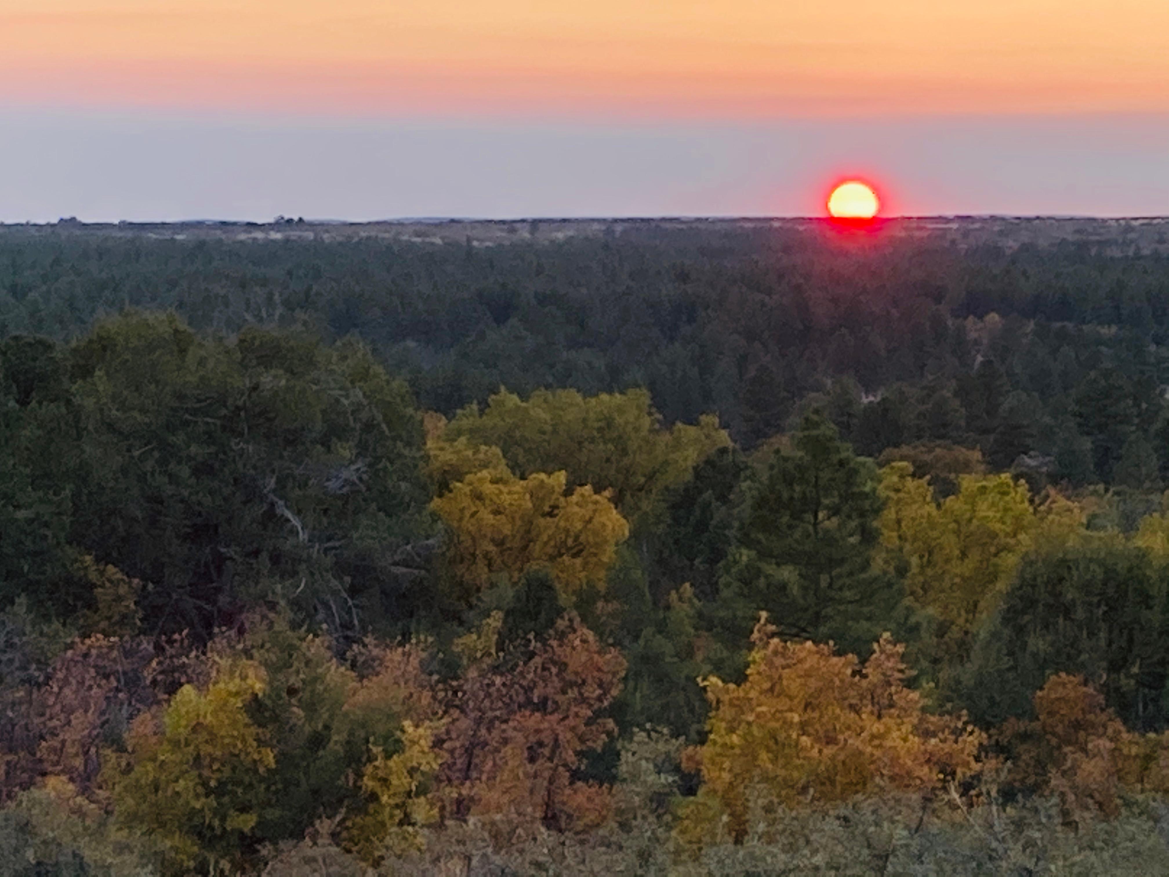
- Two distinct ecosystems in one unit: low Mojave Desert terrain on the west and ponderosa and pinyon-juniper highlands on the east
- Backcountry camping with genuine solitude, no designated campground infrastructure means you choose your own site
- Scenic driving and ATV routes across remote high-clearance terrain covering a massive, largely unvisited landscape
- Over 11,000 years of documented human history embedded in the landscape, from prehistoric to historic-era sites
- Free entry with open year-round access, making it accessible on your own schedule when conditions allow
Good to know
This monument demands extensive preparation. A high-clearance 4WD vehicle is essential; roads become impassable without warning after rain or snow. With no facilities, no rangers, and no cell service, visitors must be self-sufficient. Bring all water, food, fuel, and navigation tools, including paper maps. Casual sightseers should look elsewhere.
Insider tipConfirm road conditions with the BLM Arizona Strip Field Office before travel. The NPS website may not offer the most current information. An impassable road 30 miles deep represents an unrecoverable situation without prior verification.