Is Gold Belt Recreation Management Area worth it?
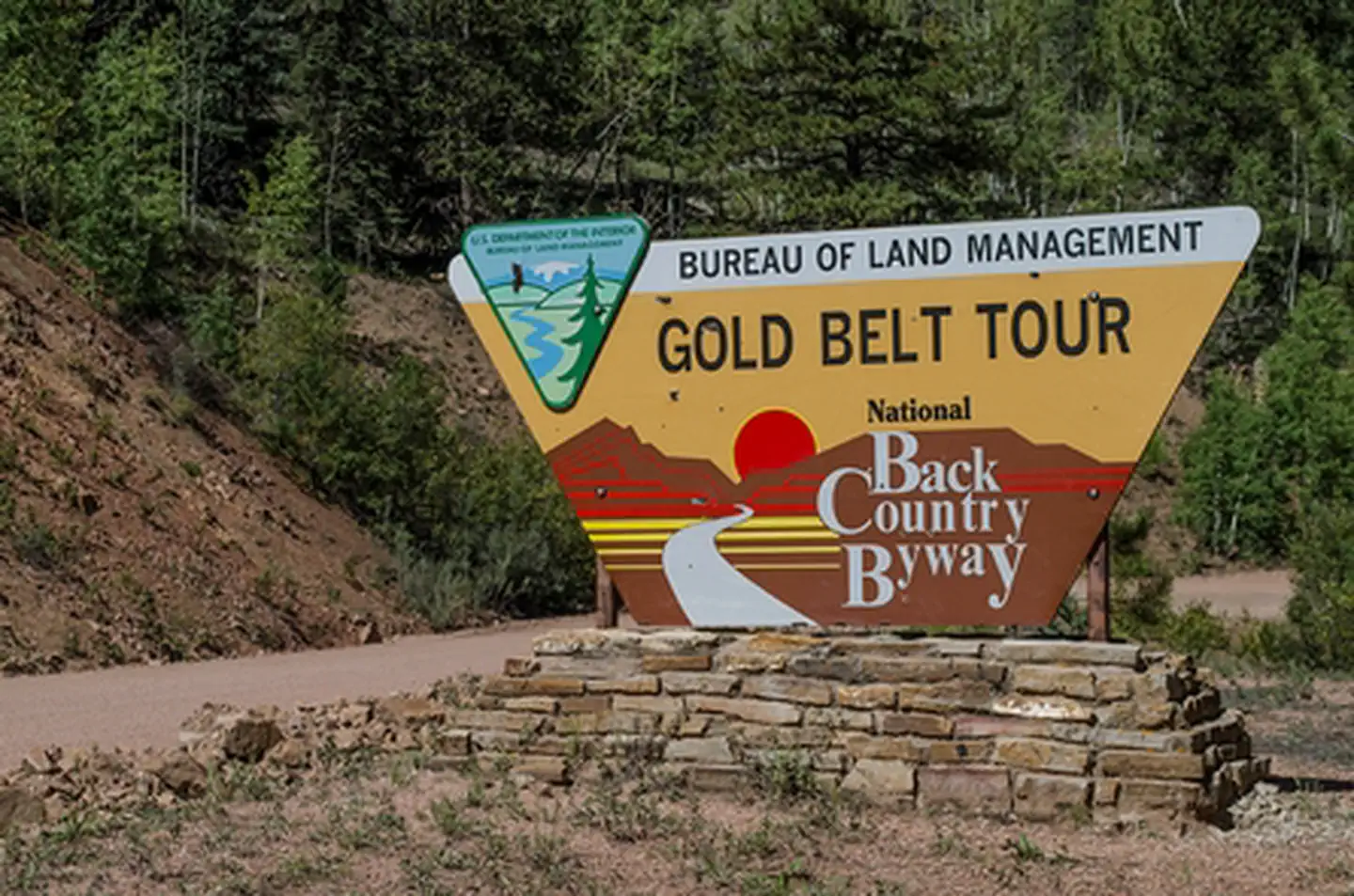
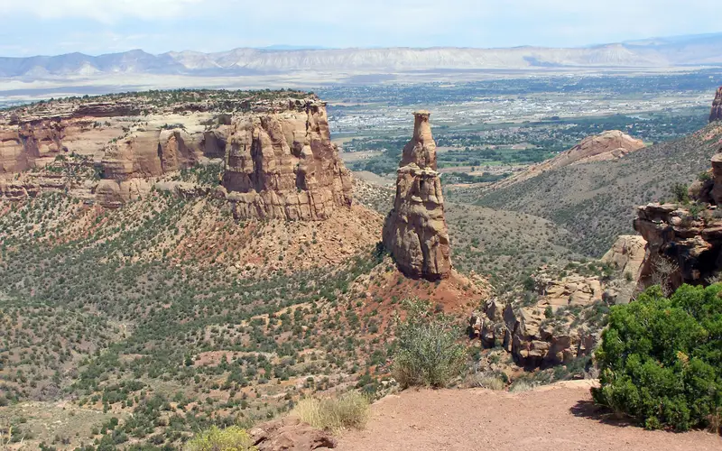
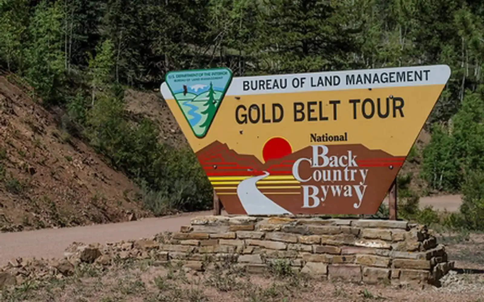
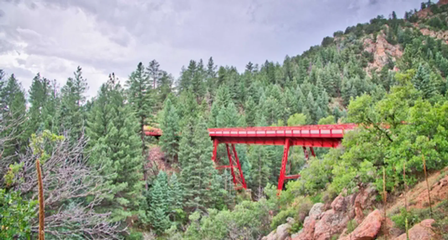
The Gold Belt Recreation Management Area, a vast public lands complex in south-central Colorado, centers on the 131-mile Gold Belt Tour National Scenic Byway.
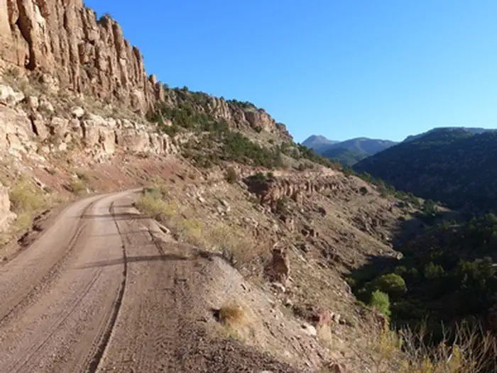
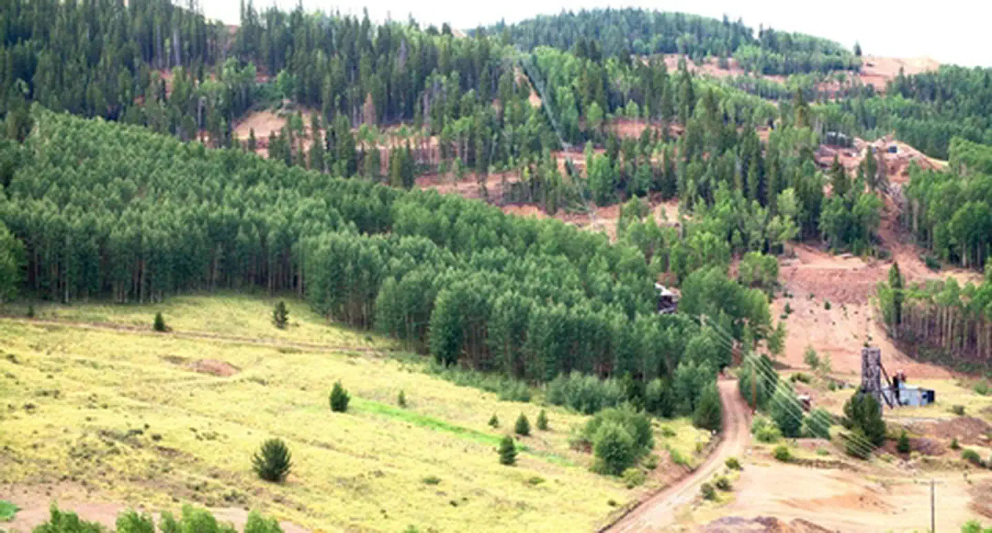
This route follows historic stage roads and narrow-gauge rail beds from the Cripple Creek gold rush era. This is not a conventional park with a central visitor center or signature trail. The area offers extensive BLM-managed land for auto touring, hiking, climbing, camping, fishing, hunting, horseback riding, biking, and wildlife viewing. Free to enter, it caters to self-directed travelers ready for independent exploration. Its three distinct route legs blend history and landscape. This makes it an equally strong draw for those pursuing Colorado mining history and outdoor enthusiasts seeking uncrowded access to canyon and high-plains terrain.
The case for it
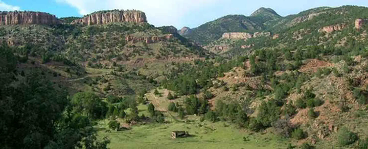
This unit offers genuine breadth for visitors willing to explore by car. Three distinct byway legs provide access to diverse landscapes, from canyon roads to open range. Ample dispersed camping, fishing, and climbing areas allow for solitude. The documented activity range is notable. A single weekend can encompass scenic drives, hiking or horseback riding, and hunting or fishing within the management area. Interpretive programs and guided tours provide valuable historical context to the gold-rush era for those seeking more than scenic views.
Who it is for
This area rewards specific visitor types. Road-trippers, history buffs interested in Colorado's mining heritage, and multi-sport outdoor enthusiasts are best suited. Hunters and anglers benefit significantly from free, open BLM access. Those anticipating a curated, amenity-rich national park experience, complete with paved trails and staffed facilities, should adjust their expectations.
Best time to visit
The most practical window for a visit runs from late spring through early fall. Winter conditions in Colorado's high country and canyon roads can introduce snow or rough passages. Some unpaved byway legs require dry conditions. Summer provides the full activity menu, including camping, fishing, and wildlife viewing. Fall brings hunting season and vivid high-plains color, often with fewer crowds.
Worth seeing
- 131-mile scenic byway loop retracing historic Cripple Creek gold-rush travel routes
- Free, dispersed camping across BLM-managed land
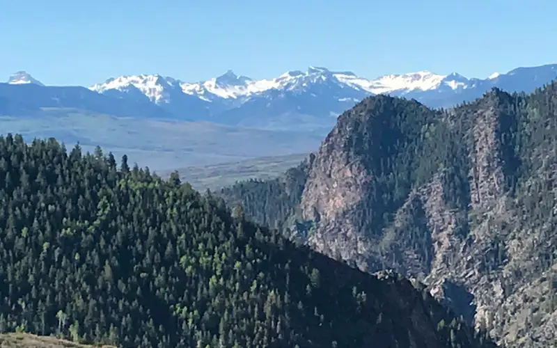
- Documented climbing and hiking access on canyon and high-plains terrain
- Fishing, hunting, and horseback riding with minimal restriction or fee
- Interpretive programs and guided tours connecting the landscape to mining history
- Three distinct byway legs each offering different road and scenery character
Before you visit
Free to enter, this byway demands preparation. Sections are unpaved; a high-clearance vehicle may be necessary. Services are minimal throughout. Visitors should carry water, maps, and camping gear for overnight stays. Consult the Royal Gorge Field Office for current conditions before any trip.
Our tipThe 131-mile byway loop warrants attention over multiple days. Attempting the full circuit in one drive misses the point. Its true value lies in the side roads and varied access points, which are best explored with ample time. The data makes a strong case for using the available camping and recreation facilities. This is a destination for those who prioritize immersive exploration over scenic drives.