
Cumberland Island National Seashore: our verdict
Cumberland Island, a barrier island off the Georgia coast, offers a genuine wilderness experience.
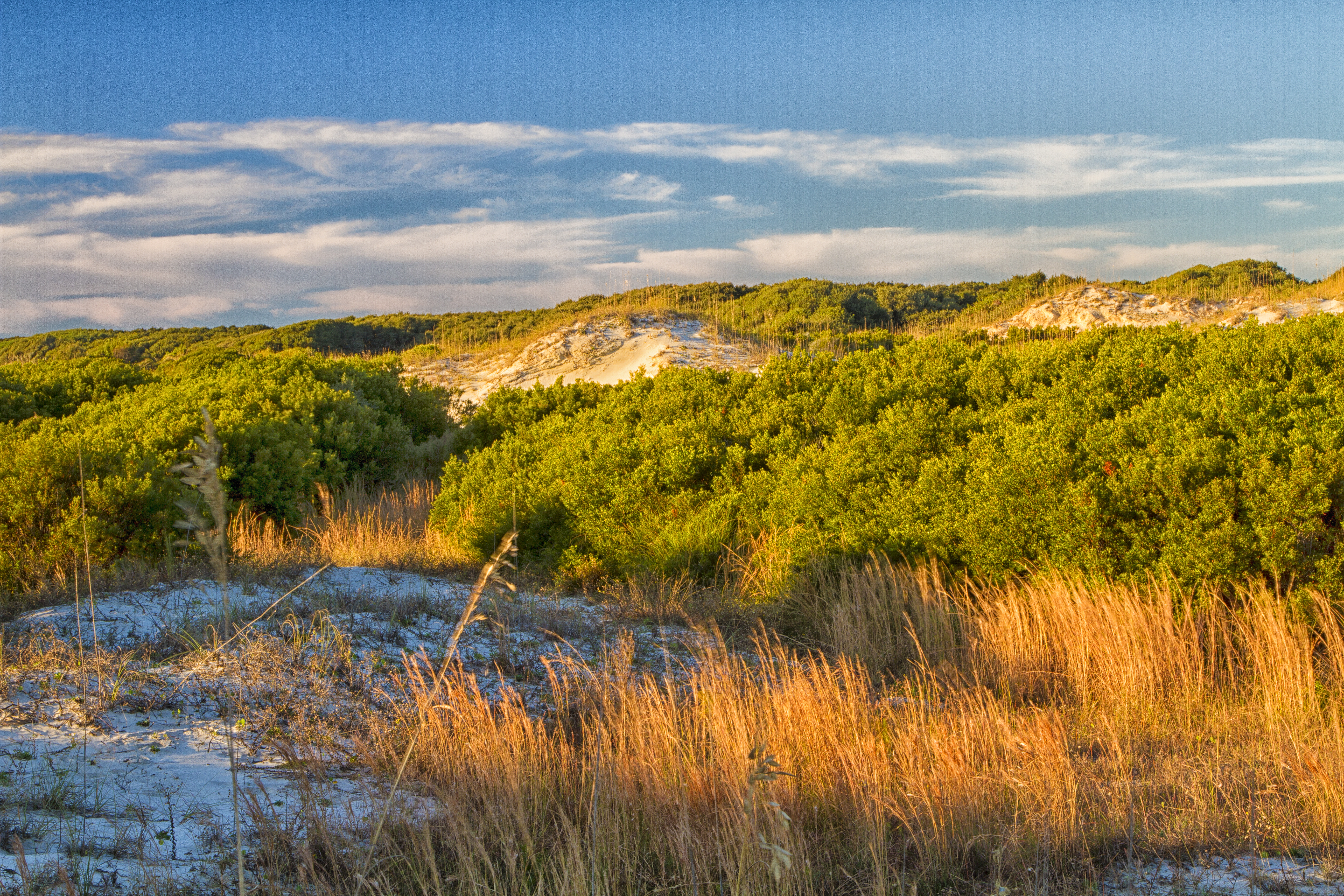
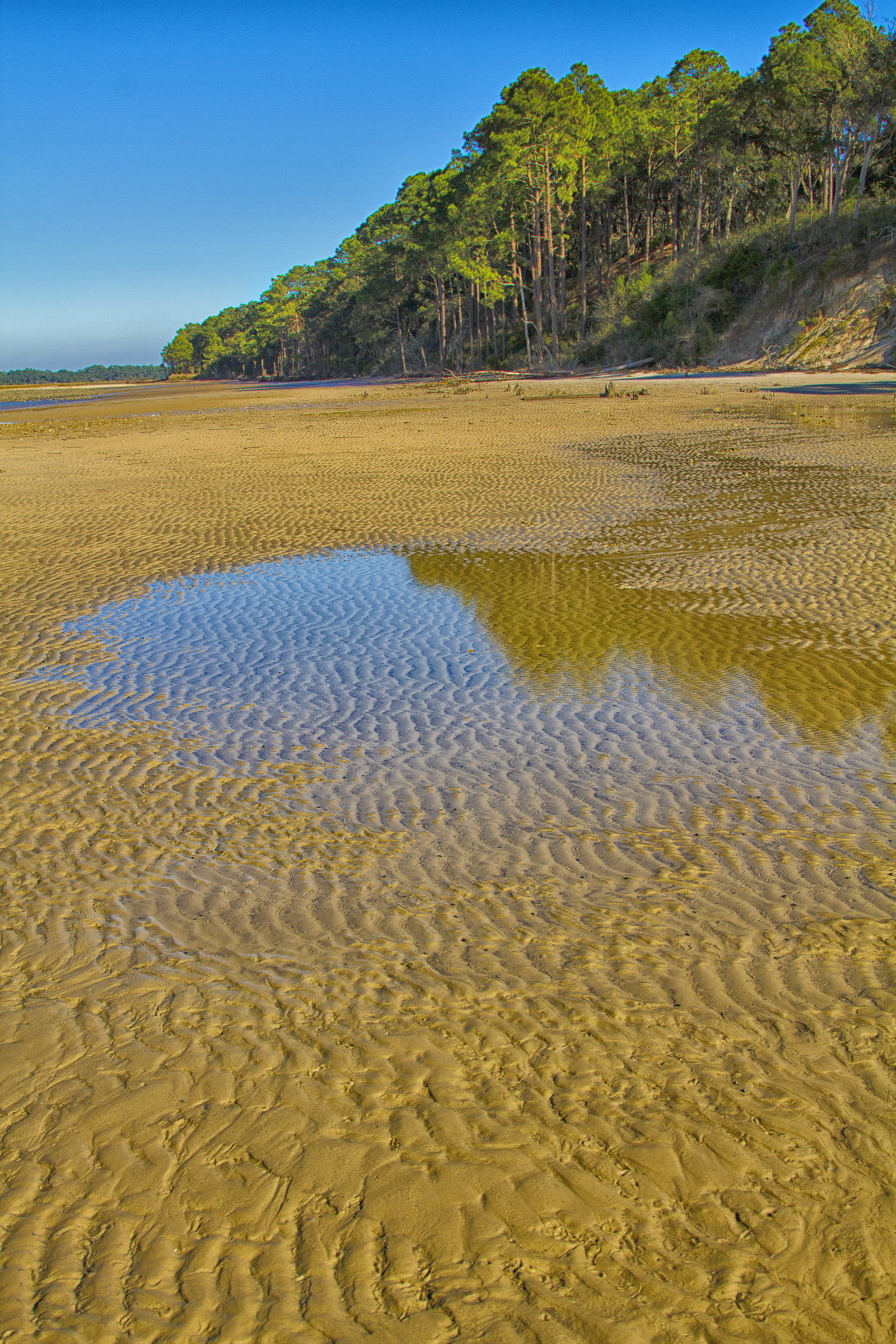
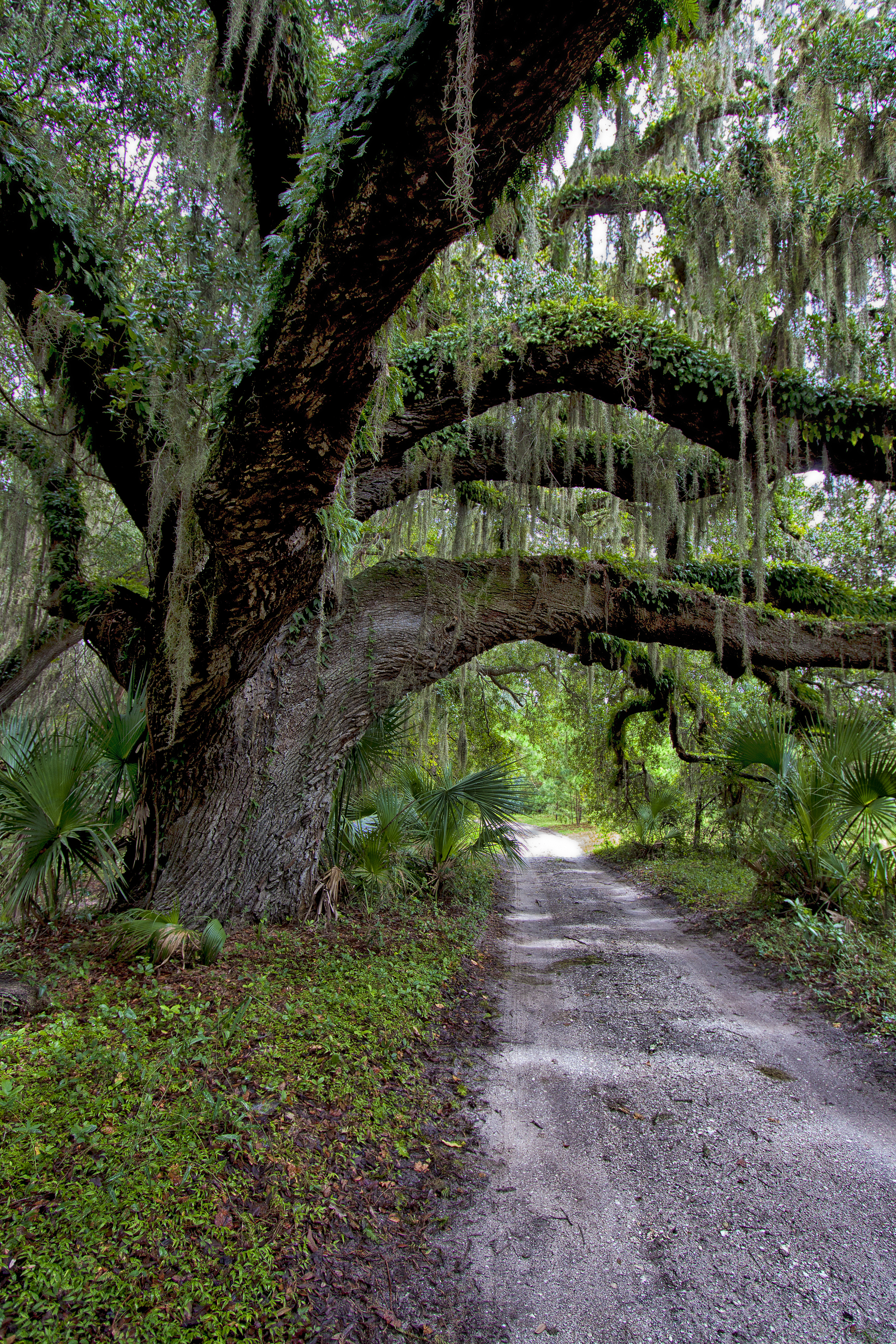
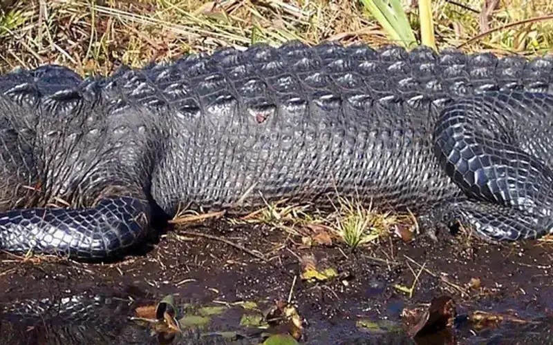
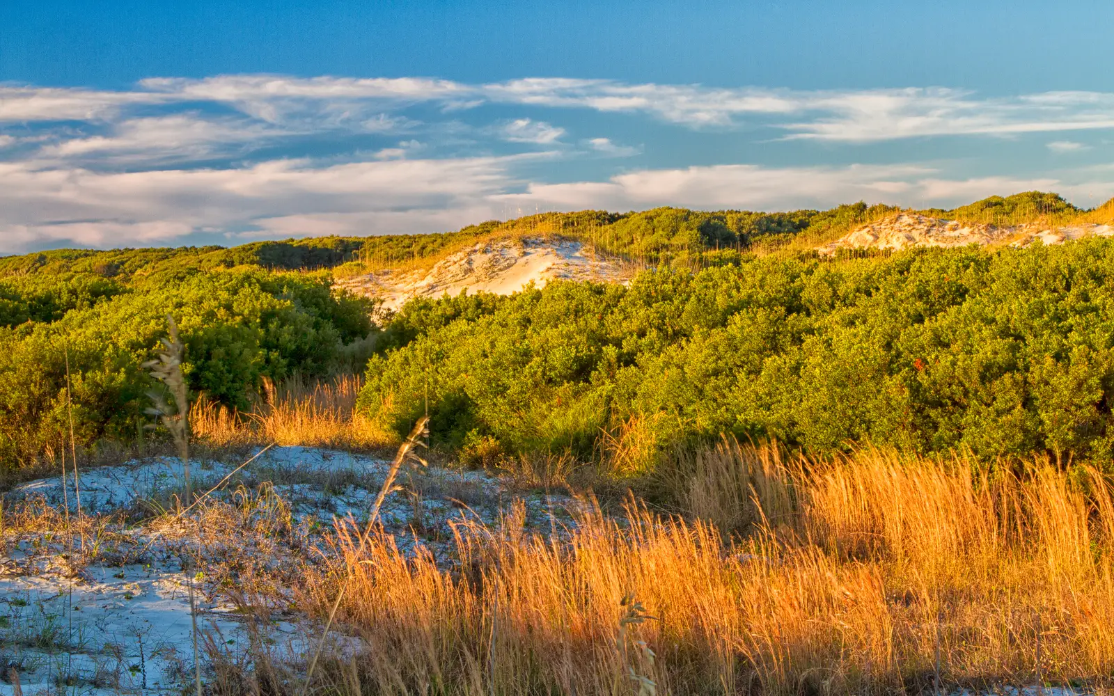
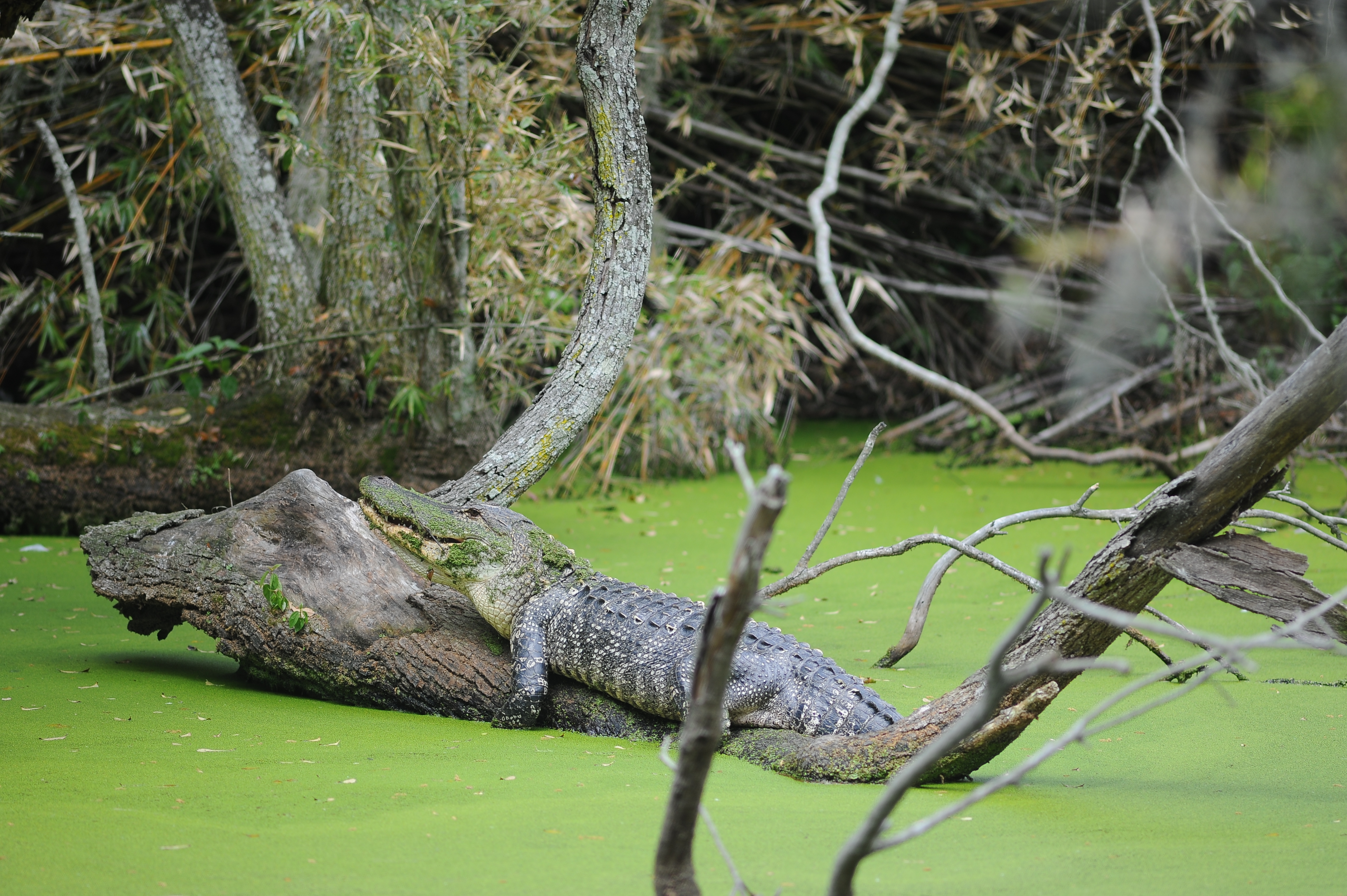
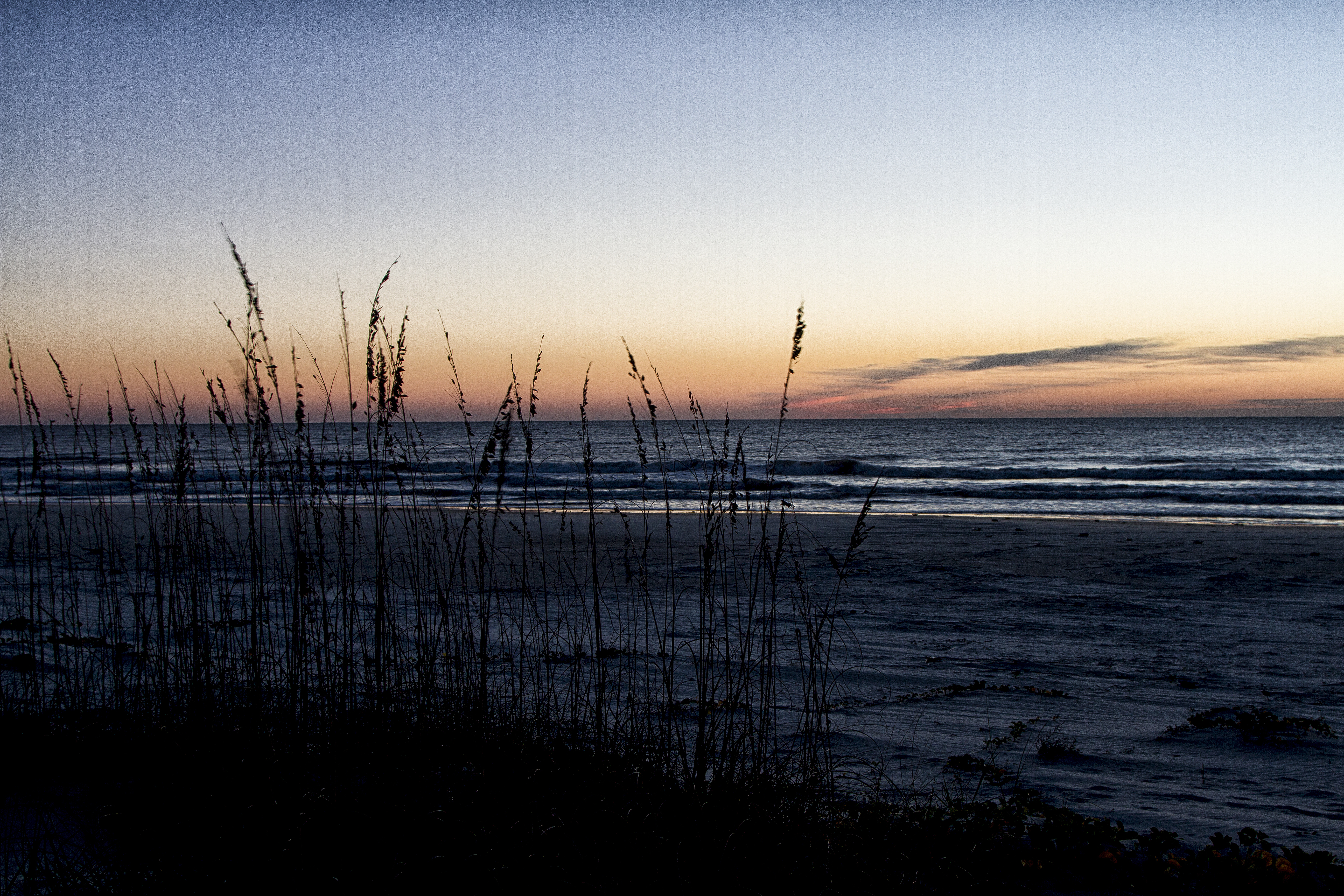
Access is exclusively by ferry from St. Marys. With no public roads or resort infrastructure, this destination demands planning. The reward is 18 miles of undeveloped Atlantic beach, dense maritime forest, and extensive tidal marshes. The island's history spans Indigenous occupation, Spanish missions, enslaved labor, and Gilded Age estates. Wild horses roam freely. An Experience Score of 55 confirms this is not a high-amenity location. It caters to those seeking solitude, abundant wildlife, and the distinct atmosphere of a remote destination. Day-use is possible. Campers, however, will gain the fullest appreciation for what Cumberland Island provides.
Why visit
Cumberland Island presents a singular East Coast wilderness experience. Access via ferry from St. Marys introduces a genuinely remote environment. Hikers can traverse maritime forests to expansive, shell-strewn beaches, encountering minimal crowds. Birdwatching opportunities are notable in both marsh and forest-edge habitats across seasons. Overnight campers will find a profound quiet, largely free of human-made sounds. Beyond natural pursuits, guided tours explore the island's complex human history, including Carnegie estate ruins and colonial-era sites. Atlantic swimming is available, and private boaters benefit from additional access points. This combination of undeveloped beach, wilderness hiking, abundant wildlife, and rich historical layers makes the island distinctive.
Who it suits
This destination suits self-sufficient campers, serious birdwatchers, and hikers seeking genuine solitude. Those interested in Georgia coastal history will find much to explore. This is not the place for easy drive-up access, on-site food service, or a casual afternoon outing. Ferry-only access and limited daily visitor numbers constrain spontaneous visits.
Timing your visit
Optimal visitation occurs in fall, specifically October through November. During this period, oppressive summer heat and humidity subside, insect populations diminish, and migratory bird activity peaks. Spring also presents favorable conditions for wildlife observation and comfortable temperatures. While summer visits are feasible, high heat and humidity are significant considerations, with July highs averaging 90 degrees. Winter is characterized by mild temperatures and reduced visitor numbers.
What stands out
- Miles of undeveloped Atlantic beach with no commercial development in sight
- Free-roaming wild horses encountered throughout the island
- Over 9,800 acres of Congressionally designated Wilderness for hiking and solitude
- Guided tours connecting the island's layered history from Indigenous peoples through the Carnegie era
- Productive birdwatching across maritime forest, beach, and tidal marsh habitats
- Primitive camping that puts you on the island after the day-trippers leave on the last ferry
Good to know
For what it offers, the $15 per-person entry fee is reasonable. However, the advance booking requirement for the NPS ferry, which frequently sells out, particularly on weekends and during peak seasons in spring and fall, presents a significant access barrier. The island provides no stores or restaurants. Campers face the demanding task of carrying in and packing out all supplies. Private boaters benefit from separate dock access, but must confirm current operating hours. Casual sightseers should look elsewhere.
Insider tipThis park rewards planning. Secure the earliest ferry departure possible. Day-trippers typically depart by mid-afternoon. The quiet hours between the last ferry's arrival and its return offer a uniquely solitary experience. This is the park's primary appeal.