parkverdict
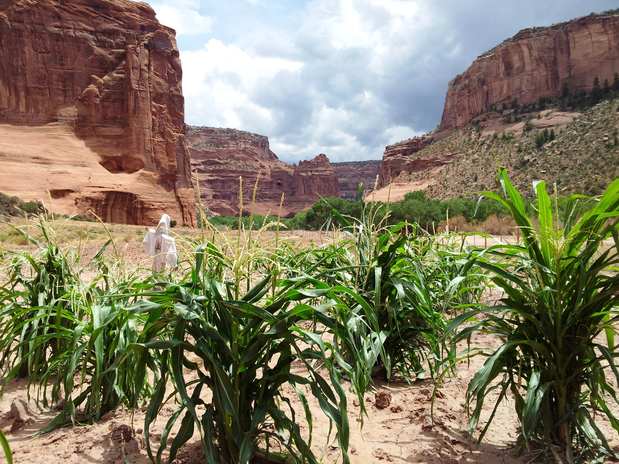
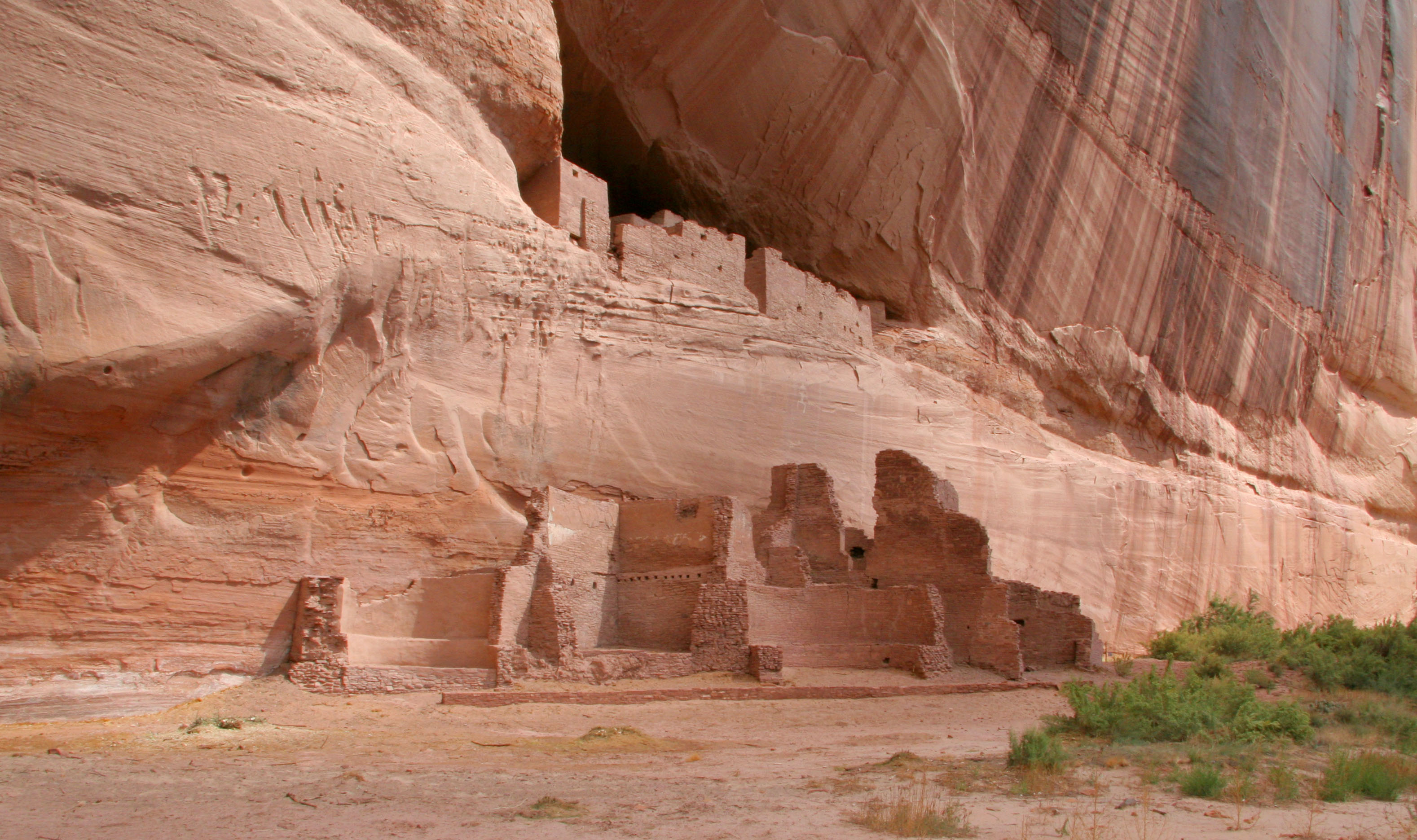
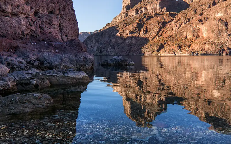
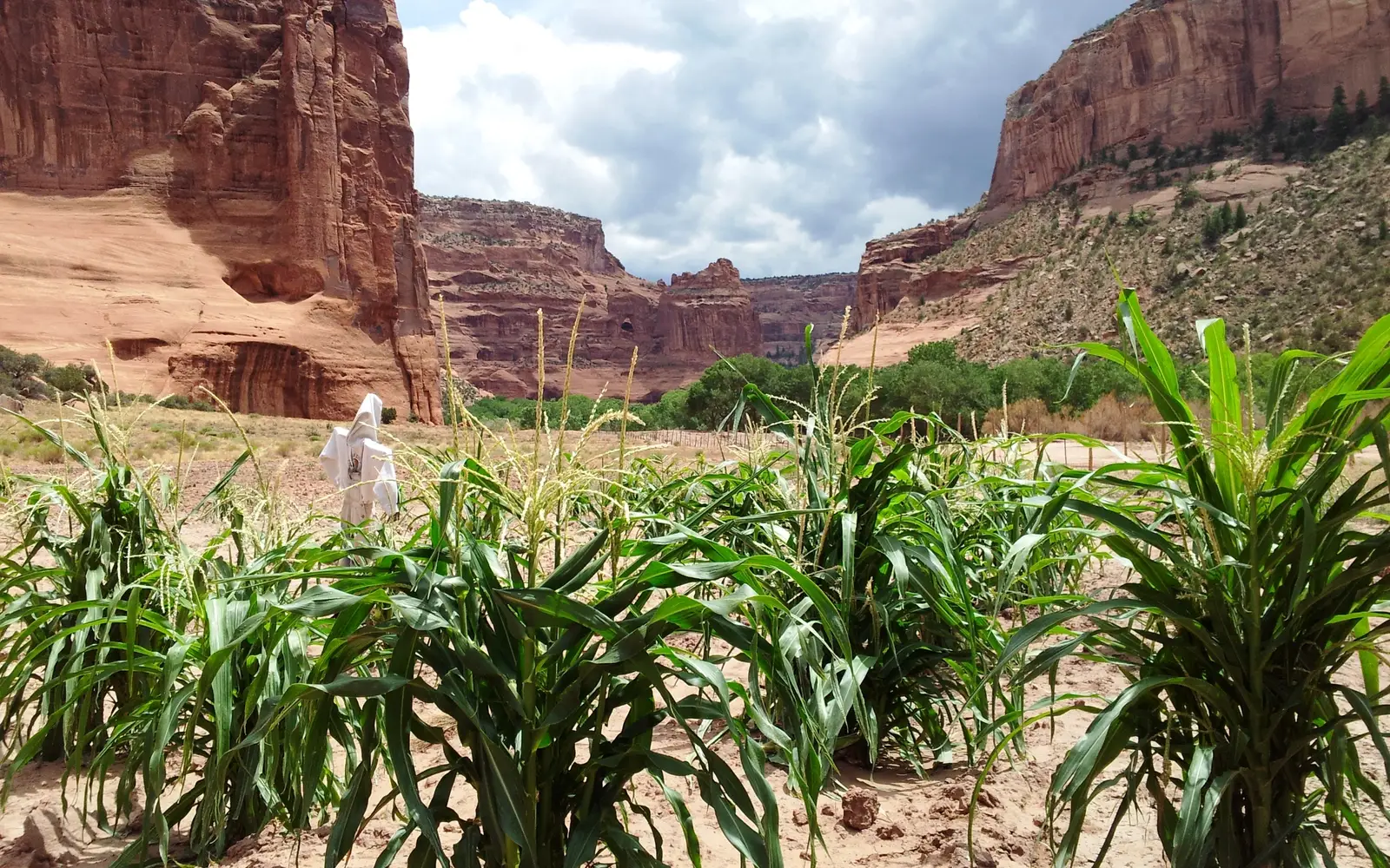
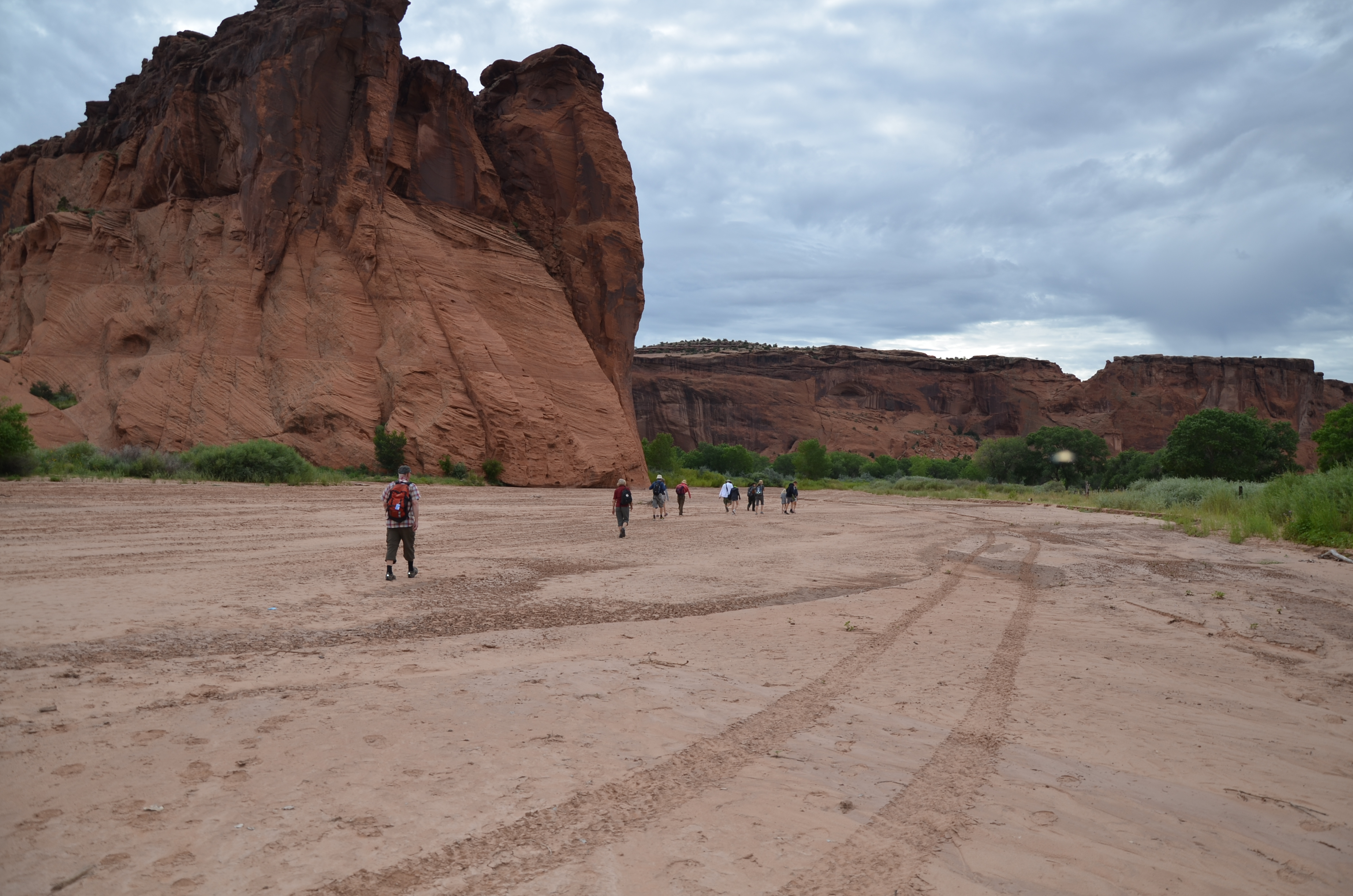
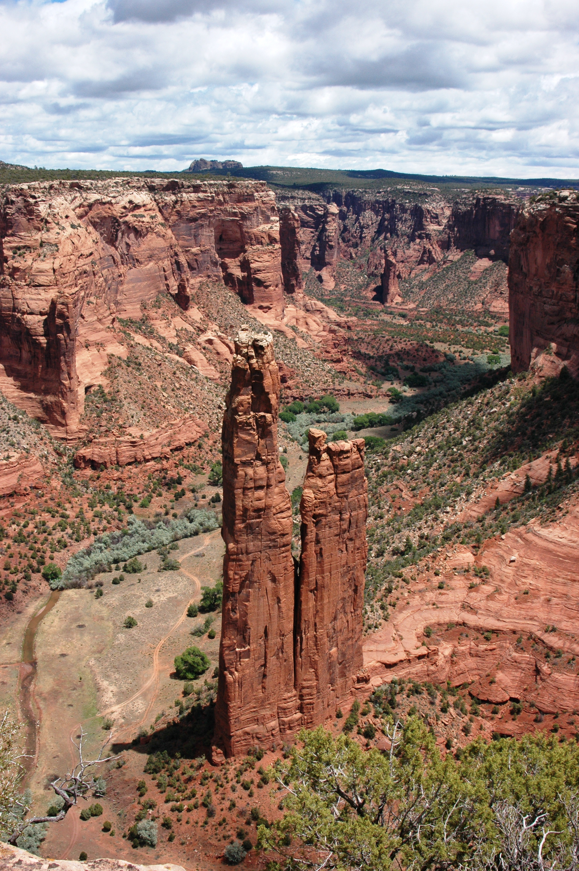
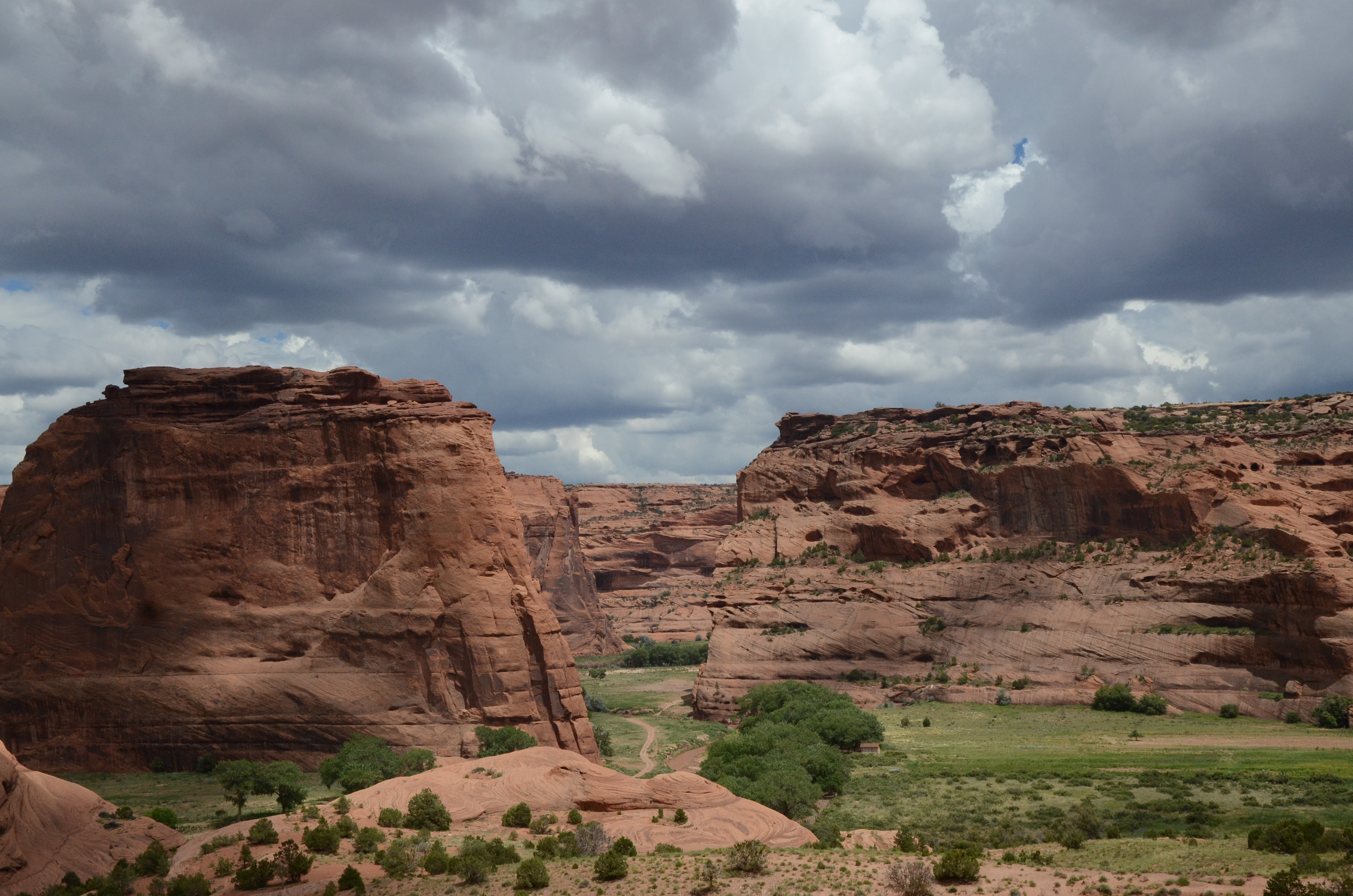
Farm in the canyonHiking in the canyonView of Spider Rock from the overlookView of the canyon from the White House Trail
National MonumentAZ

Canyon de Chelly National Monument

NPS / Ravis Henry
59/ 100GOOD RANGE
parkverdict Experience ScoreIndependent, not sponsored

59 of 100. Our independent breadth-and-access index. How we score

Our verdict

Should you visit Canyon de Chelly National Monument?

Canyon de Chelly is unlike almost anything else in the National Park System for one simple reason: people still live there.

Diné (Navajo) families farm and graze livestock on land their ancestors have occupied continuously for nearly 5,000 years. The rim drives put dramatic sandstone walls and ancient cliff dwellings right in front of you, but what actually pulls people in is the cultural and historical weight of the place, not the recreation. Anyone hoping for a hike-heavy adventure park will hit a hard limit fast: almost all canyon-floor access requires a licensed Navajo guide. Measured purely by trail mileage or activity count, the place looks modest. That measurement is the wrong one. Very few spots in the Southwest let you stand inside a visually striking canyon and encounter living Indigenous heritage at the same time. This is somewhere that rewards slowing down and paying close attention rather than logging miles. Free entry keeps it a low-friction stop on any Southwest road trip.

What makes it worth it

A good day here covers both rim drives, North and South, with stops at all nine documented overlooks where the canyon walls streak red and white above ancient ruins tucked into alcoves far below. The South Rim Drive tends to give the most dramatic sense of canyon depth and the clearest views of the ruins themselves. Book ahead and a guided tour, by vehicle, ATV, or on foot, will take you all the way down to the canyon floor, putting you at the base of those same walls with a Navajo guide who can speak to the living history rather than just the archaeology. Campers can stay the night and catch the canyon light at dawn. Families can work through the Junior Ranger program. Stop at the Welcome Center and park store before heading out to the overlooks.

Who should go

This spot suits history and culture travelers, Southwest road-trippers, and families who want something meaningful without a packed schedule. The rim drives work well for anyone with limited mobility. Hikers hoping for long solo days in the backcountry will run into a wall here, since nearly all canyon-floor access requires a guide. Entrance is free, though, so budget travelers get a real break.

When to go

September and October are the best months to go. Temperatures hold between 60 and 80 degrees, the light hits the red canyon walls at a warm angle, and harvest season means you'll actually see Diné agricultural life playing out in the canyon. Spring carries real risks: dust storms and flooding both. Summer is doable, but highs can push 100 degrees, so get to the rim early before the heat builds.

Highlights

  • Nine rim overlooks on two separate drives offering canyon and cliff dwelling views with no guide required
  • Canyon-floor guided tours by vehicle, ATV, or foot that access areas completely off-limits to solo visitors
  • Nearly 5,000 years of continuous human occupation visible in ruins, rock art, and active family farmsteads below
  • Free admission, making it one of the most accessible major monuments in the Southwest
  • Camping available for those who want to experience the canyon at dawn and dusk when the light is best
  • Junior Ranger program giving families a structured way to engage with the cultural and natural themes

Plan ahead

Admission is free. The Welcome Center opens at 8AM every day and makes a good first stop for getting oriented and booking a guide. If you plan to hike or drive the canyon floor, arrange a licensed Navajo guide before you show up, since walk-in spots are not guaranteed. The one exception is the White House Ruin Trail, which has historically been open to unguided hikers. Check the current policy at the Welcome Center when you arrive.

Editor's tipStart at the South Rim in the morning, when the eastern sun hits the canyon walls and brings out the color. Then drive to the North Rim for the afternoon. The two routes look noticeably different depending on the time of day, so plan the timing on purpose rather than leaving it to whatever happens.

How we scored it

Why Canyon de Chelly National Monument scores 59

We keep the math boring on purpose. The same handful of public-data inputs, capped so none of them dominates, decide every score. What they measure is breadth and access, not beauty and not crowd levels. For Canyon de Chelly National Monument, they shook out like this:

  • Activity breadth8 documented activities
  • Topic breadth3 topics
  • Official imagery5 public-domain images
  • Camping on sitedocumented
  • Entry costfree

No number is hand-adjusted and no unit pays for placement. The full weights, the floor at 18 and a worked example are on how we score.

The honest limits

What the number leaves out

Worth saying plainly: this number only knows what the data shows, which is breadth and access. It has no idea whether the scenery is jaw-dropping, whether the lot is a zoo in July, what shape the trails are in, or how good the guided walks are. So do not read a lower score as a worse day out. A focused little site can beat a big all-rounder for the right person. Compare the numbers for what is on offer, then read the verdict for who each place actually suits.

Background

The short version

People have been living in these canyons for nearly 5,000 years, longer than anywhere else on the Colorado Plateau. Diné families still live here today, raising livestock and growing crops on the canyon floor. The homes and images left behind in Tsegi carry their stories forward across generations. The park and the Navajo Nation manage the cultural and natural resources here together.

On documented breadth and access, Canyon de Chelly National Monument ranks 22nd of 29 park and public-land units we score in Arizona.

What the seasons are like

Canyon de Chelly sits at about 5,500 feet. Springs are cool and windy, with highs between 50 and 70 degrees and lows around 35. Expect dust storms and canyon flooding. Summers run hot and dry, highs from 85 to 100 and lows around 51, so drink plenty of water any time you head outside. Fall is warm but wet, highs between 60 and 80 and lows near 40, with lightning, thunderstorms, and flash floods rolling through regularly.

What you can do

Activities

Auto and ATVScenic DrivingCampingGuided ToursHikingJunior Ranger ProgramShoppingBookstore and Park Store
Common questions

Canyon de Chelly National Monument: quick answers

Is Canyon de Chelly National Monument worth visiting?

Canyon de Chelly is unlike almost anything else in the National Park System for one simple reason: people still live there.

Is Canyon de Chelly National Monument free to visit?

It is free to get in.

What is Canyon de Chelly National Monument best for?

It leans hardest toward hiking, camping, good with kids, scenic drives, going by the 8 activities it actually documents.

When is the best time to visit Canyon de Chelly National Monument?

September and October are the best months to go.

How is the Experience Score for Canyon de Chelly National Monument calculated?

The 59 comes straight from public data on how much the place documents and how easy it is to reach, things like activities, topics, photos, camping and whether entry is free. It says nothing about scenery or how busy it gets.