parkverdict
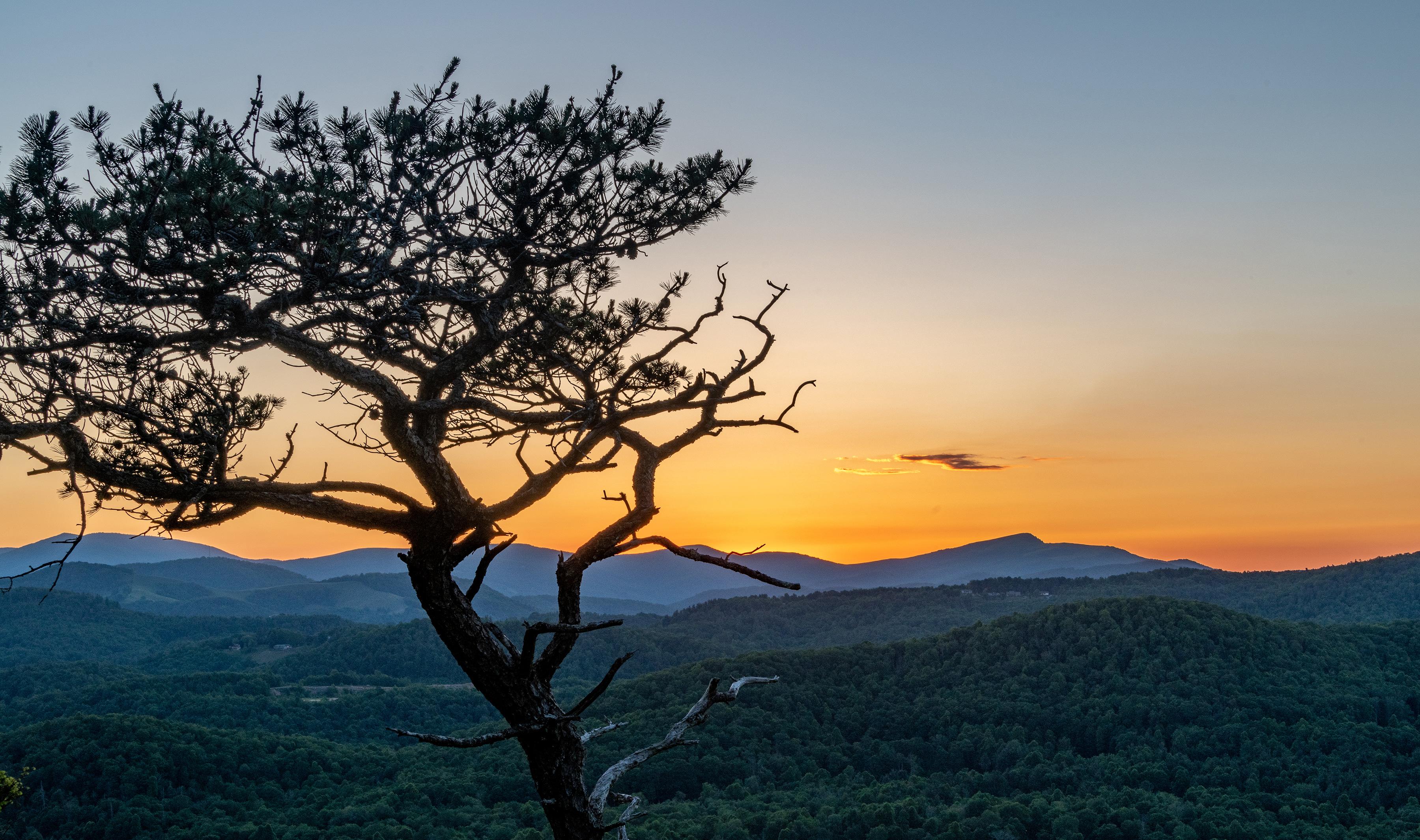
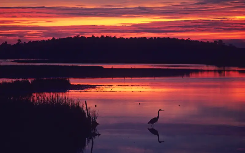
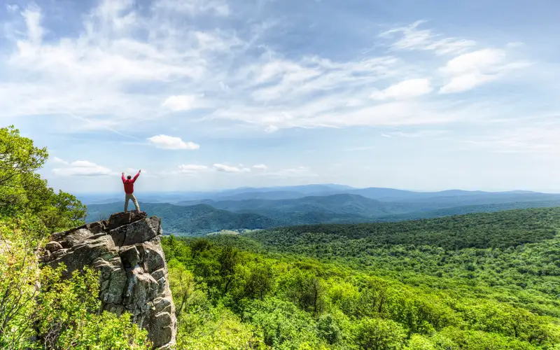
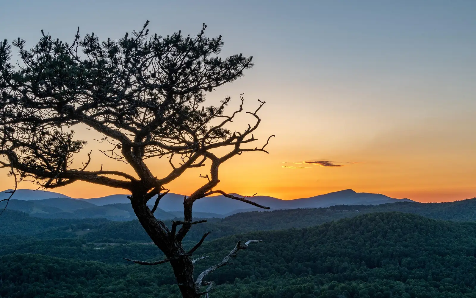
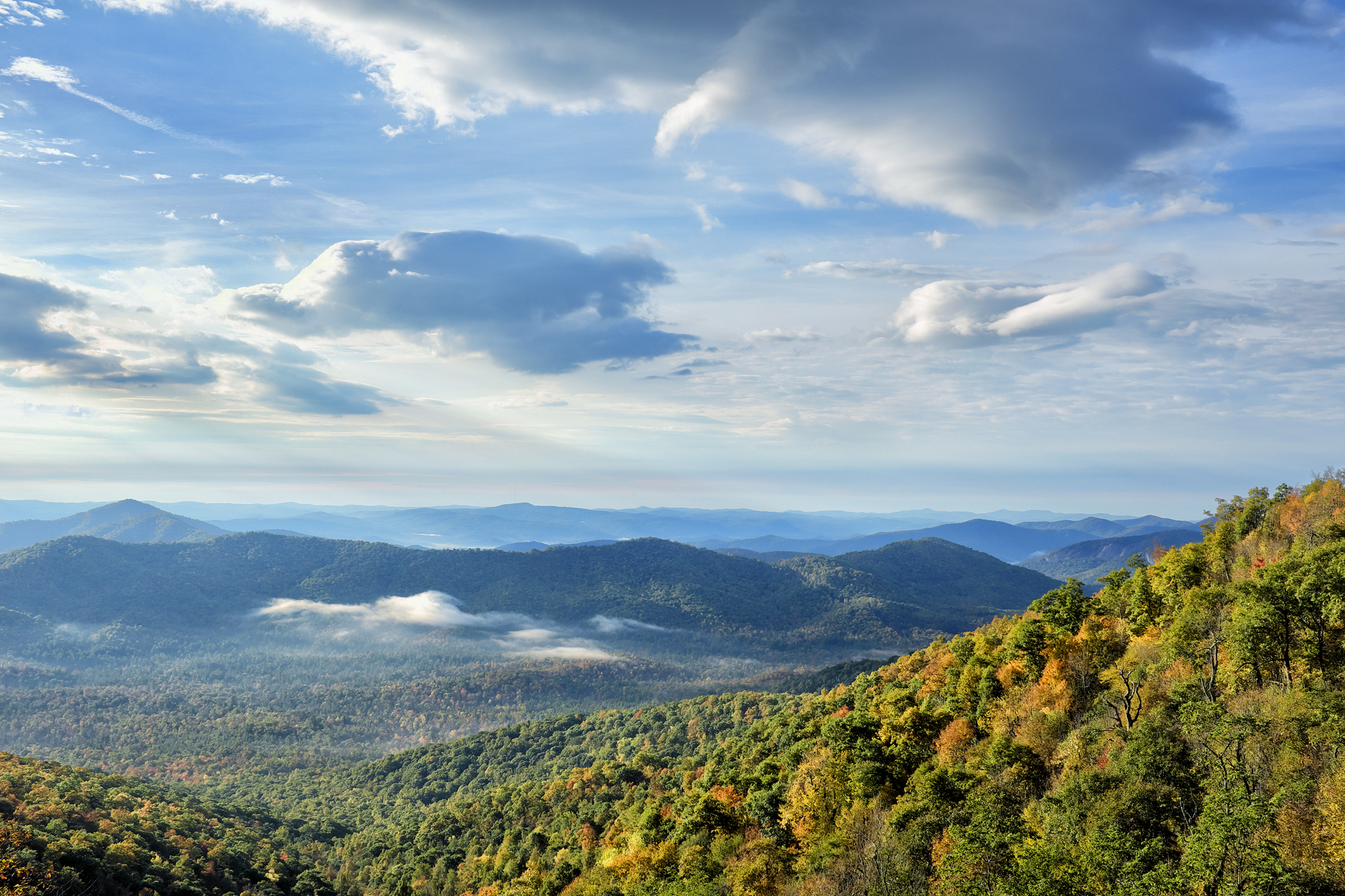
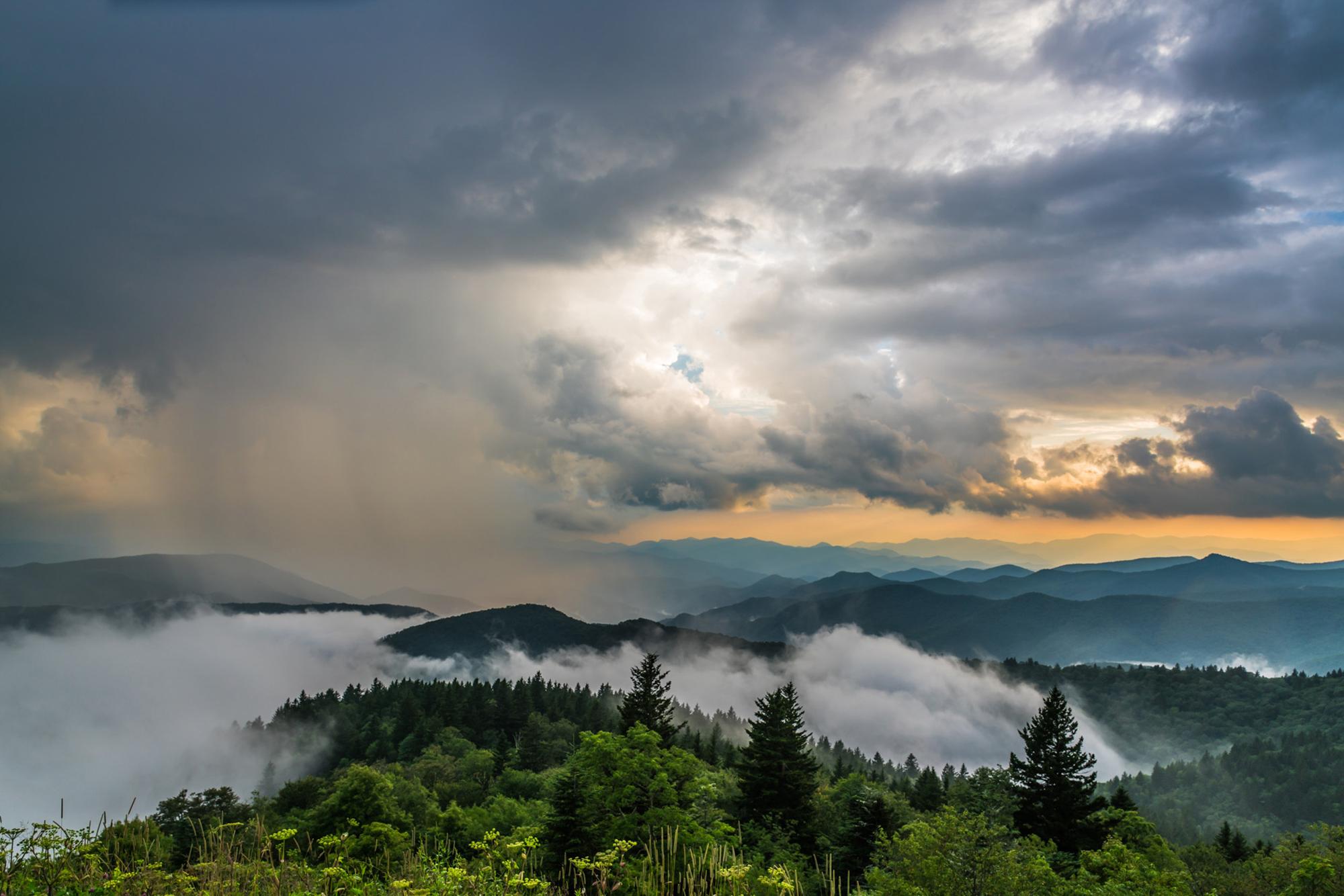
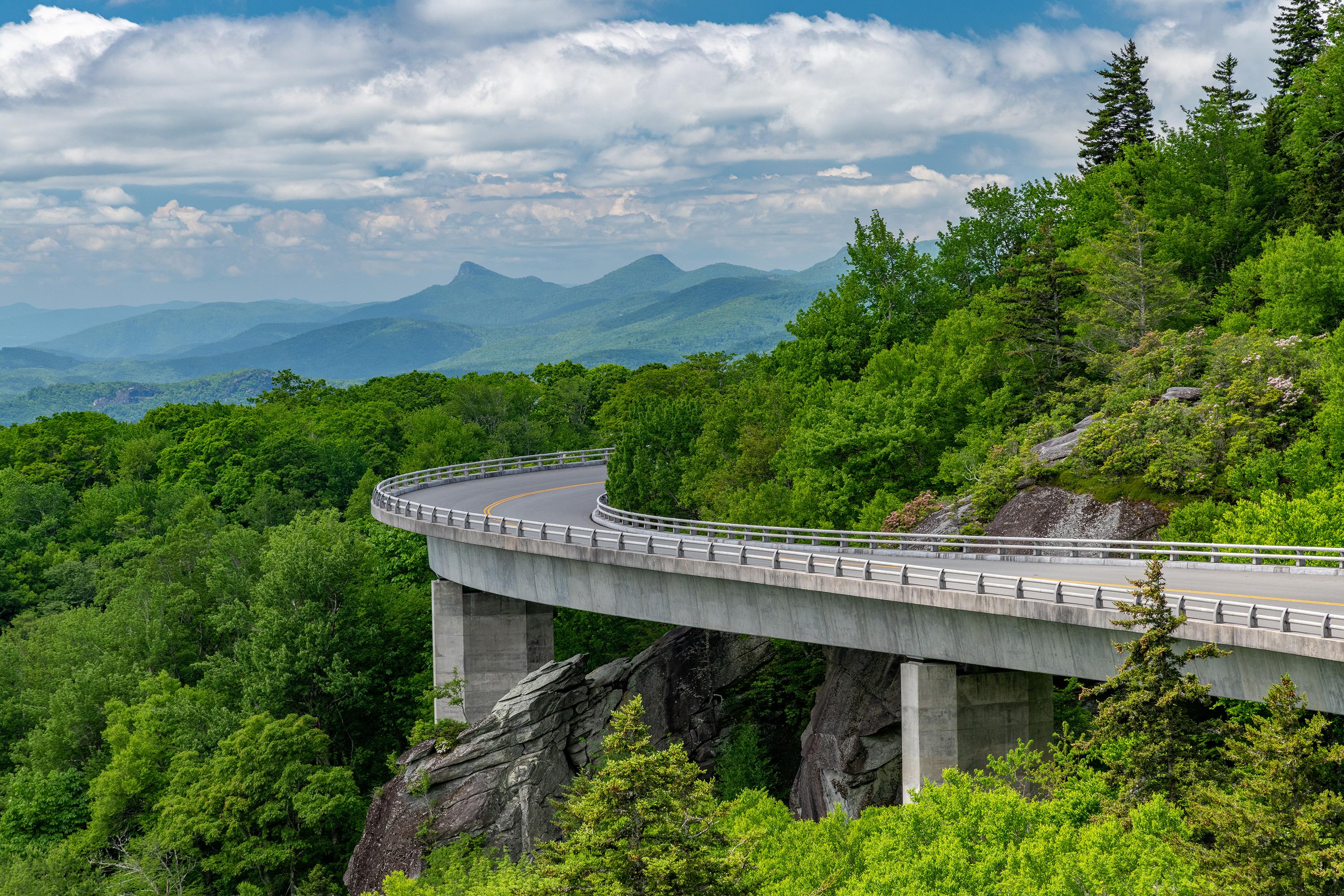
A long pine tree stands in front of distant mountain ridges beneath an orange sunsetMountain vista and clouds on the Blue Ridge ParkwayStorm clouds breaking over the mountains at sunset, with fog hugging the valleysA roadway on piers follows the curve of a mountainside, running toward distant mountains.
ParkwayNC / VA

Blue Ridge Parkway

NPS / Harold Blackwood Photo
98/ 100DOES IT ALL
parkverdict Experience ScoreIndependent, not sponsored

98 of 100. Our independent breadth-and-access index. How we score

Our take

Is Blue Ridge Parkway worth your trip?

The Blue Ridge Parkway stretches 469 miles through the Appalachian Highlands of Virginia and North Carolina, and it holds up as one of the most accessible scenic roads anywhere in the country.

It gives back whatever time you put in. A Sunday afternoon drive still turns up real beauty. String together several days of camping, hiking, fishing, and roadside picnics and it starts to feel like a proper mountain vacation. There is no entry fee for the entire 469 miles, which matters more than it sounds. That cost barrier is exactly what keeps people away from a lot of other destinations. Families, cyclists, anglers, wildlife watchers, and road-trippers all find something worth their time here, and they rarely have to make serious compromises to do it. The one honest warning is that winter closures are common, especially at higher elevations, so checking road conditions before you leave is not a suggestion. For anyone within a day's drive of Virginia or North Carolina, it is genuinely hard to name a public lands experience in the eastern United States that gives you a better return on your time.

Why go

A good day on the Blue Ridge Parkway tends to find its own rhythm, and the road seems designed with that in mind. Overlooks come up at regular intervals, and the long mountain views shift noticeably depending on the light and the time of year. There is plenty pulling you out of the car: front-country and backcountry hiking, freshwater fishing in Appalachian streams, car camping at developed campgrounds. Road cyclists treat certain sections seriously, because the low motor traffic and sustained elevation changes make this a real cycling destination, not just a scenic road you pass through once and forget. Arts and culture programming, live music, and park stores give the corridor a regional personality you do not usually find at a more generic federal park. The Junior Ranger program makes the whole thing manageable with kids in tow. Wildlife watching draws visitors up and down the corridor as well, deer, black bears, and migratory birds among them.

Best for

Road-trippers, cyclists, hikers, and anyone chasing a multi-day Appalachian mountain experience without a steep entrance fee will find a lot here. Families with kids, anglers, and people drawn to Southern Appalachian culture fit right in too. Come expecting a compact, destination-style park built around one iconic centerpiece, though, and you will probably leave disappointed. This is a place that rewards wandering over a fixed itinerary.

Best season

Fall foliage peaks from late September through late October, and the parkway draws real crowds during that stretch, so book campsites well ahead. Spring brings wildflowers and thinner crowds but wide temperature swings. Summer is reliable, though lower elevations get hot. Winter is the hardest season to plan around: snow and ice close sections frequently, particularly at higher elevations in North Carolina, so check the NPS closure map before you go.

The high points

  • 469 miles of free, continuously scenic Appalachian driving across Virginia and North Carolina
  • Freshwater fishing in mountain streams along the corridor
  • Developed car camping and backcountry camping options at multiple points along the route
  • Road cycling on a low-traffic, high-elevation route with serious climbing
  • Live music and arts and culture programming rooted in Southern Appalachian tradition
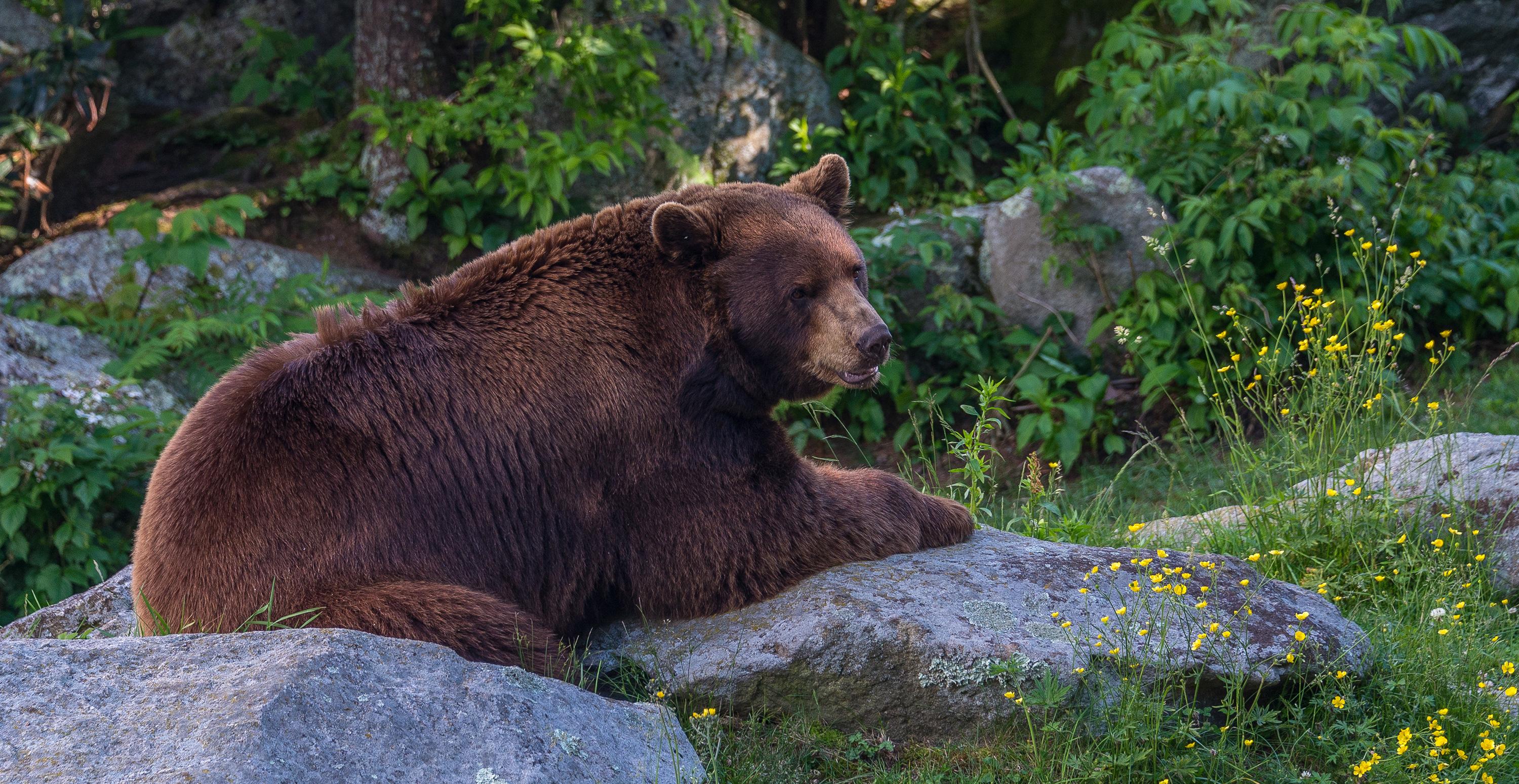
  • Wildlife watching for deer, black bear, and migratory birds throughout the corridor

Know before you go

Admission is free for the entire 469 miles. The road stays open around the clock, though winter brings regular closures from snow and ice, especially at the higher elevations in North Carolina, so pull up the NPS road closure map before you head out. Campgrounds go fast during fall foliage season, which generally runs from late September through October, so book early.

One more thingFill up whenever you pass through a town junction because the parkway has no gas stations. Running out between access points is the single most common mistake drivers make, and it ruins the trip fast.

How we scored it

How Blue Ridge Parkway earned its 98

Where does a 98 come from? One formula, run the same on every place we cover, built only from public data on what a unit offers and how reachable it is. It says nothing about how pretty a spot is or how busy it gets. This is what fed it:

  • Activity breadth19 documented activities
  • Topic breadth18 topics
  • Official imagery6 public-domain images
  • Camping on sitedocumented
  • Entry costfree

No number is hand-adjusted and no unit pays for placement. The full weights, the floor at 18 and a worked example are on how we score.

The honest limits

The honest blind spots

Read the score for what it is. It counts what a place documents and how reachable it is, and stops there. It will not tell you if a sunset floors you, if the crowds thin out by dusk, whether a washout closed your trail, or how a ranger tells the story. Plenty of quiet, focused spots score modestly and still win the weekend. Let the number rank what is on offer; let the verdict speak to the feel.

On offer

Documented activities

Arts and CultureLive MusicAuto and ATVScenic DrivingBikingRoad BikingCampingCar or Front Country CampingFishingFreshwater FishingFoodPicnickingHikingBackcountry HikingFront-Country HikingJunior Ranger ProgramWildlife WatchingShopping
The basics

Blue Ridge Parkway at a glance

The Blue Ridge Parkway runs 469 miles through the Appalachian Highlands, and it was never meant to be driven fast. The road curves through rugged mountains and open farmland, with long views opening up at nearly every bend. That same corridor shelters a wide range of plants and animals along its full length.

On documented breadth and access, Blue Ridge Parkway ranks 2nd of 13 park and public-land units we score in North Carolina.

Weather and seasons

Weather along the 469-mile parkway route can change quickly and without much warning. Rain or snow is possible in any season, and winters get genuinely cold, with heavy snowfall at the higher elevations. Spring and fall are unpredictable, sometimes swinging from near freezing to above 80 degrees Fahrenheit within the same stretch of road. Summer heat builds at the lower elevations while the peaks stay considerably cooler.

Common questions

Blue Ridge Parkway: quick answers

Is Blue Ridge Parkway worth visiting?

The Blue Ridge Parkway stretches 469 miles through the Appalachian Highlands of Virginia and North Carolina, and it holds up as one of the most accessible scenic roads anywhere in the country.

Is Blue Ridge Parkway free to visit?

Yes, there is no entrance fee.

What is Blue Ridge Parkway best for?

It leans hardest toward hiking, camping, good with kids, water activities, going by the 19 activities it actually documents.

When is the best time to visit Blue Ridge Parkway?

Fall foliage peaks from late September through late October, and the parkway draws real crowds during that stretch, so book campsites well ahead.

How is the Experience Score for Blue Ridge Parkway calculated?

The 98 comes straight from public data on how much the place documents and how easy it is to reach, things like activities, topics, photos, camping and whether entry is free. It says nothing about scenery or how busy it gets.