parkverdict
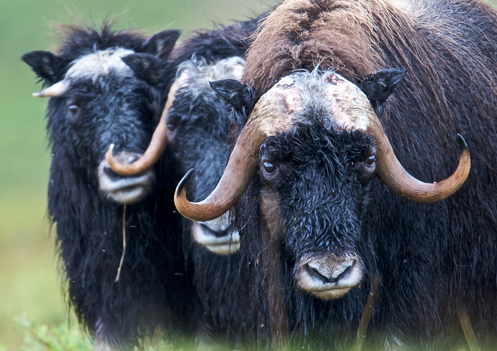
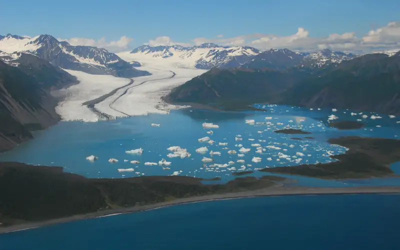
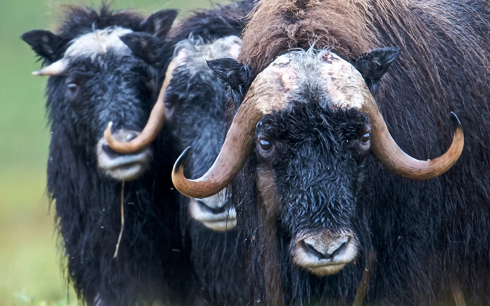
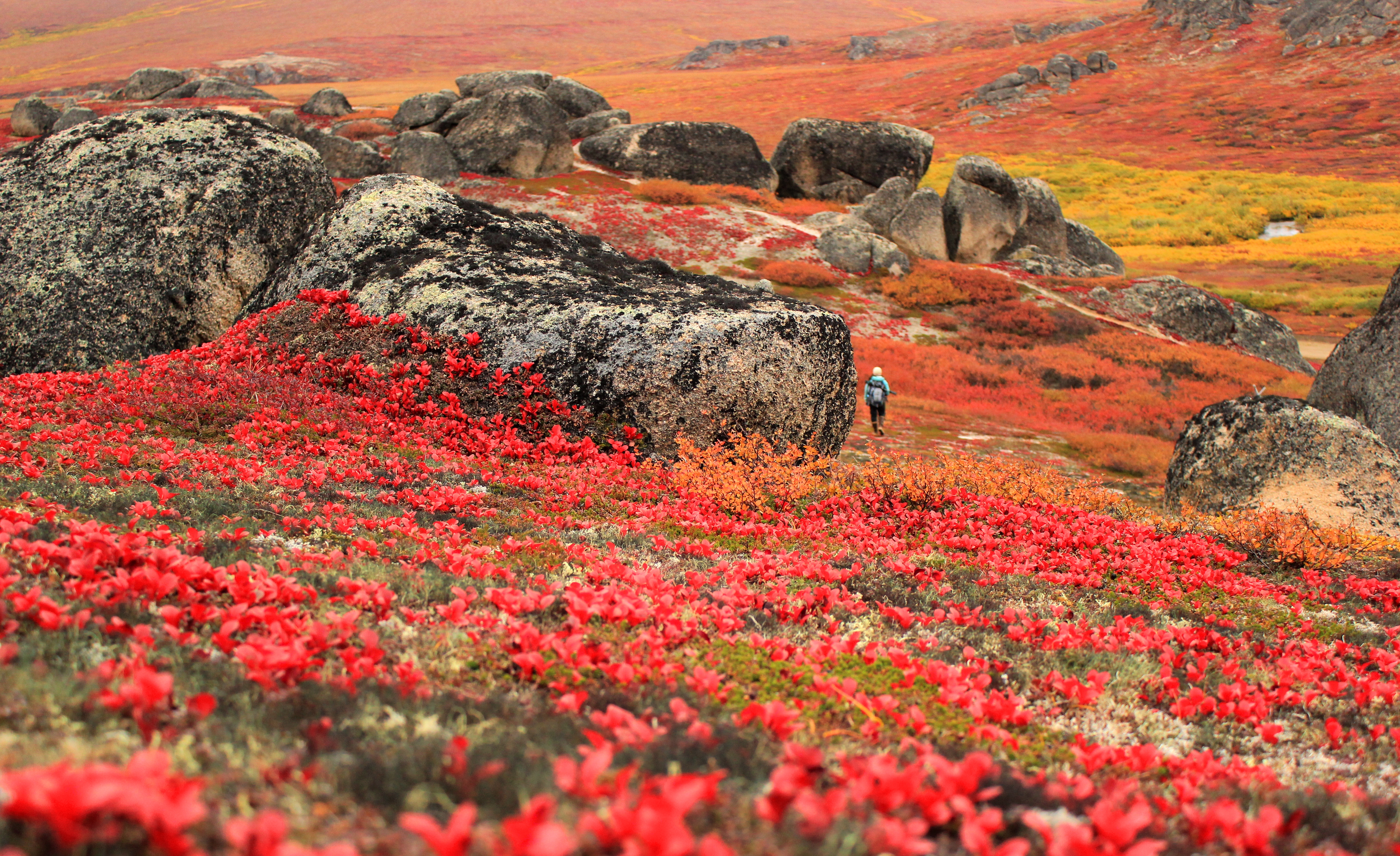
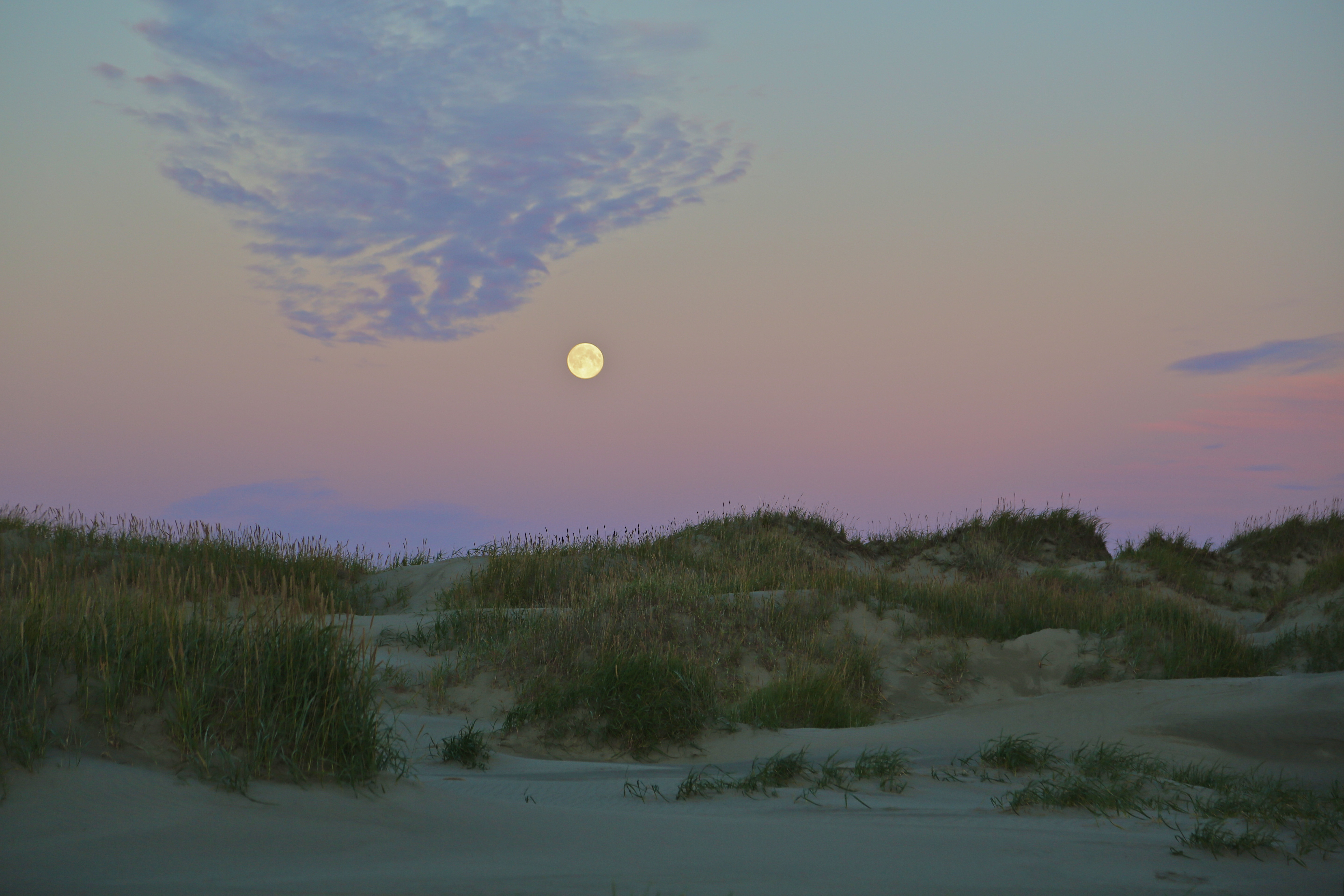
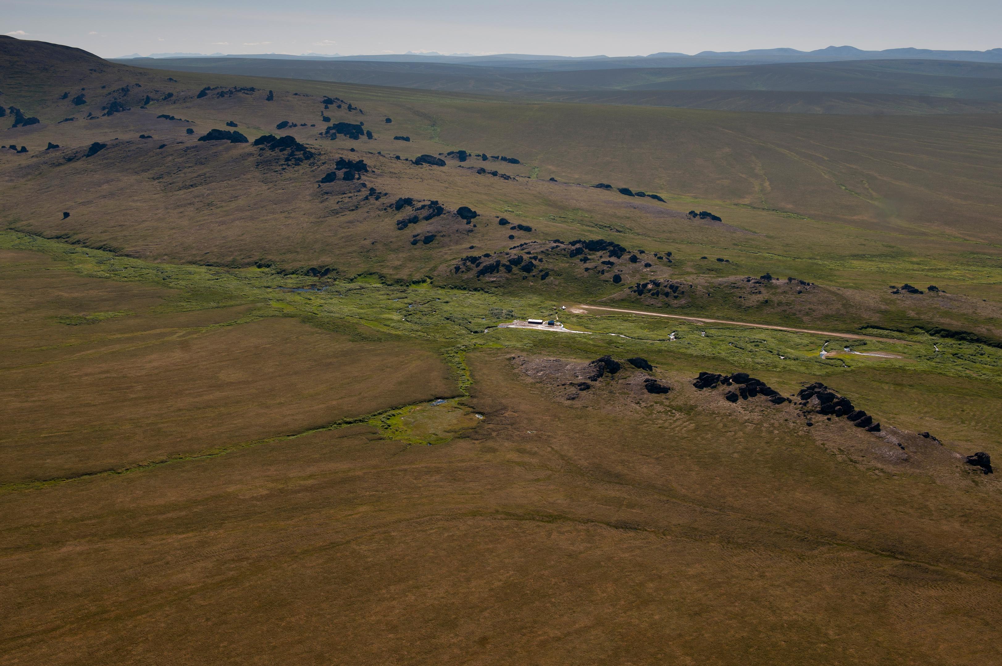
Three wet muskox stand in a line.A hiker is seen in the distance as autumn colors dominate the tundra landscape.Rolling sand dunes with sparse vegetation with full moon rising above.A vast expanse of undulating hills with granite spire jutting from the top.
National PreserveAK

Bering Land Bridge National Preserve

NPS / NPS / Roy Wood
73/ 100WIDE RANGE
parkverdict Experience ScoreIndependent, not sponsored

73 of 100. Our independent breadth-and-access index. How we score

The bottom line

Bering Land Bridge National Preserve: our verdict

Bering Land Bridge National Preserve occupies Alaska's Seward Peninsula as one of the most remote and logistically punishing units in the entire National Park Service.

It protects what remains of the ancient land bridge that once connected Asia and North America during the Pleistocene, and it still functions as a living subsistence homeland for Indigenous communities. No roads lead in, visitor infrastructure is essentially nonexistent, and reaching the place requires a flight from Nome. The experience is genuinely wild, unscripted, and physically hard. For the right traveler, that is exactly the point. This is not a park you pass through on a road trip. It demands real commitment and careful planning, and you have to honestly accept that once you arrive, you are largely on your own. What you get in return is a landscape carrying enormous ecological and historical weight, with almost nobody else around.

Why visit

A good visit centers on one of North America's most consequential and least-visited landscapes. In summer, backcountry hiking and wildlife watching open up across tundra terrain, and the birdwatching draws serious birders chasing species with Siberian ties. Camping here, whether for a single night or a multi-day backcountry push, puts you somewhere almost no other tourists reach. Winter changes everything. Snowmobiling and dog sledding across frozen terrain give you a sense of Arctic travel that few Americans ever experience. Hunting and gathering remain legally permitted and culturally significant, keeping the preserve's living connection to Inupiaq tradition intact. Flying in and out adds its own dimension, with aerial views of the Seward Peninsula that show you just how vast the place really is.

Who it suits

Serious backcountry travelers, wildlife and birding enthusiasts, winter adventurers, and people drawn to Pleistocene geography or Indigenous land history will find exactly what they came for. Families expecting developed facilities will leave disappointed. Casual day-trippers and anyone unfamiliar with remote wilderness logistics should look elsewhere. For many visitors, the budget and time demands alone will answer the question before anything else does.

Timing your visit

June through August gives you the best hiking and wildlife watching, and the long days mean you actually have time to cover ground. December through March is snowmobile and dog sled territory, though the cold is serious and demands real preparation before you head out. Spring and fall are trickier - the windows for most activities are short and hard to predict. The coast takes some of the edge off the weather, but move inland and things can turn bad fast.

What stands out

  • Backcountry camping on one of the most historically significant landscapes in the Western Hemisphere
  • Birdwatching with species reflecting the preserve's proximity to the Asian flyway
  • Dog sledding and snowmobiling across Arctic terrain in winter
  • Wildlife watching in a roadless, largely undisturbed ecosystem
  • Fly-in access that itself delivers sweeping aerial views of the Seward Peninsula
  • Junior Ranger Program offering a structured entry point for families who do make the trip

Good to know

Getting in costs nothing, but everything around that fact does. You fly into Nome first, then charter a small fixed-wing plane or sort out some other way to get there. No roads connect to the preserve, and there is nowhere to sleep once you arrive. Reach out to the Nome-based NPS office well before your trip to get current conditions, permitted activities, and any subsistence considerations figured out ahead of time.

Insider tipStart your planning with a call to the NPS field office in Nome. The staff there can tell you exactly where to land, what wildlife has been active lately, and which local air charter operators actually know the terrain. No website comes close to matching that kind of detail for a place this remote.

How we scored it

How Bering Land Bridge National Preserve earned its 73

Where does a 73 come from? One formula, run the same on every place we cover, built only from public data on what a unit offers and how reachable it is. It says nothing about how pretty a spot is or how busy it gets. This is what fed it:

  • Activity breadth13 documented activities
  • Topic breadth4 topics
  • Official imagery5 public-domain images
  • Camping on sitedocumented
  • Entry costfree

No number is hand-adjusted and no unit pays for placement. The full weights, the floor at 18 and a worked example are on how we score.

The honest limits

Where the score goes quiet

One limit to keep in mind. Everything here comes from public records on what a unit documents and how reachable it is, so the score cannot judge beauty, crowds, trail conditions, weather, or how good any single program is. That is exactly why a small, specific place can score below a sprawling park and still be your better trip. Take the number as a like-for-like look at what is on paper, and lean on the verdict for the human read.

On offer

Documented activities

CampingBackcountry CampingDog SleddingFlyingFixed Wing FlyingHikingBackcountry HikingHunting and GatheringGathering and ForagingJunior Ranger ProgramSnowmobilingWildlife WatchingBirdwatching
The basics

Bering Land Bridge National Preserve at a glance

The Bering Land Bridge National Preserve occupies a continental crossroad that shaped how life spread across the Western Hemisphere during the Pleistocene Epoch. Indigenous communities have depended on this land for generations, as their ancestors did before them. It ranks among the wildest and most ecologically intact landscapes on earth.

On documented breadth and access, Bering Land Bridge National Preserve ranks 17th of 20 park and public-land units we score in Alaska.

Weather and seasons

Winters on the Seward Peninsula drag on and stay deeply frozen. Summers are short and rarely warm. Coastal spots stay relatively mild, but push inland and the swings get sharper, with bigger gaps between seasons in both temperature and rainfall.

Common questions

Bering Land Bridge National Preserve: quick answers

Is Bering Land Bridge National Preserve worth visiting?

Bering Land Bridge National Preserve occupies Alaska's Seward Peninsula as one of the most remote and logistically punishing units in the entire National Park Service.

Is Bering Land Bridge National Preserve free to visit?

Yes, there is no entrance fee.

What is Bering Land Bridge National Preserve best for?

It leans hardest toward hiking, camping, good with kids, wildlife watching, going by the 13 activities it actually documents.

When is the best time to visit Bering Land Bridge National Preserve?

June through August gives you the best hiking and wildlife watching, and the long days mean you actually have time to cover ground.

How is the Experience Score for Bering Land Bridge National Preserve calculated?

The 73 comes straight from public data on how much the place documents and how easy it is to reach, things like activities, topics, photos, camping and whether entry is free. It says nothing about scenery or how busy it gets.