589 units scored Refreshed on a schedule Independent, no sponsored rankings
Recreation AreaRI
Narragansett Bay National Estuarine Research Reserve
NPS / Narragansett Bay National Estuarine Research Reserve
49/ 100FOCUSED
parkverdict Experience ScoreIndependent, not sponsored
49 of 100. Our independent breadth-and-access index. How we score
Our verdict
Should you visit Narragansett Bay National Estuarine Research Reserve?
The Narragansett Bay Reserve offers a quiet, ferry-dependent escape centered on Prudence Island.
Its historical layering, from Native American presence to World War II Navy occupation, provides a unique backdrop. While entry is free, the overall experience score of 49 reflects specific limitations. This is a small island, with modest trail infrastructure and no on-site visitor amenities. For those seeking solitude on the water, a historical bike ride, or a calm bay paddle, the reserve delivers. Casual sightseers should look elsewhere.
Who should go
This destination is best suited for Rhode Island residents, paddlers, and cyclists seeking a relaxed island excursion free from crowds and high costs. Families prepared for ferry travel will find enjoyment in the available swimming and picnicking opportunities. For hikers anticipating dramatic landscapes or extensive trail systems, this location does not deliver.
Highlights
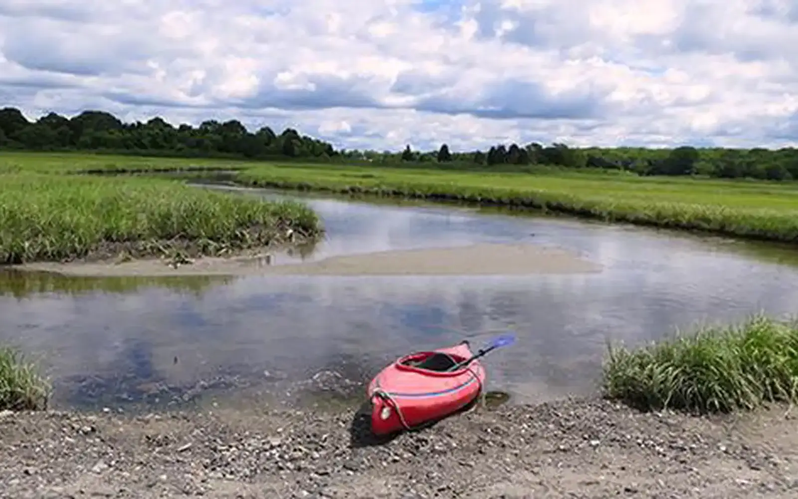
Paddling the shallow estuarine waters around Prudence Island with protected bay conditions ideal for kayaks and canoes
Biking the island roads past land that traces use from colonial farming to a WWII Navy installation
Fishing and swimming in Narragansett Bay at one of the few genuinely free coastal recreation areas in New England
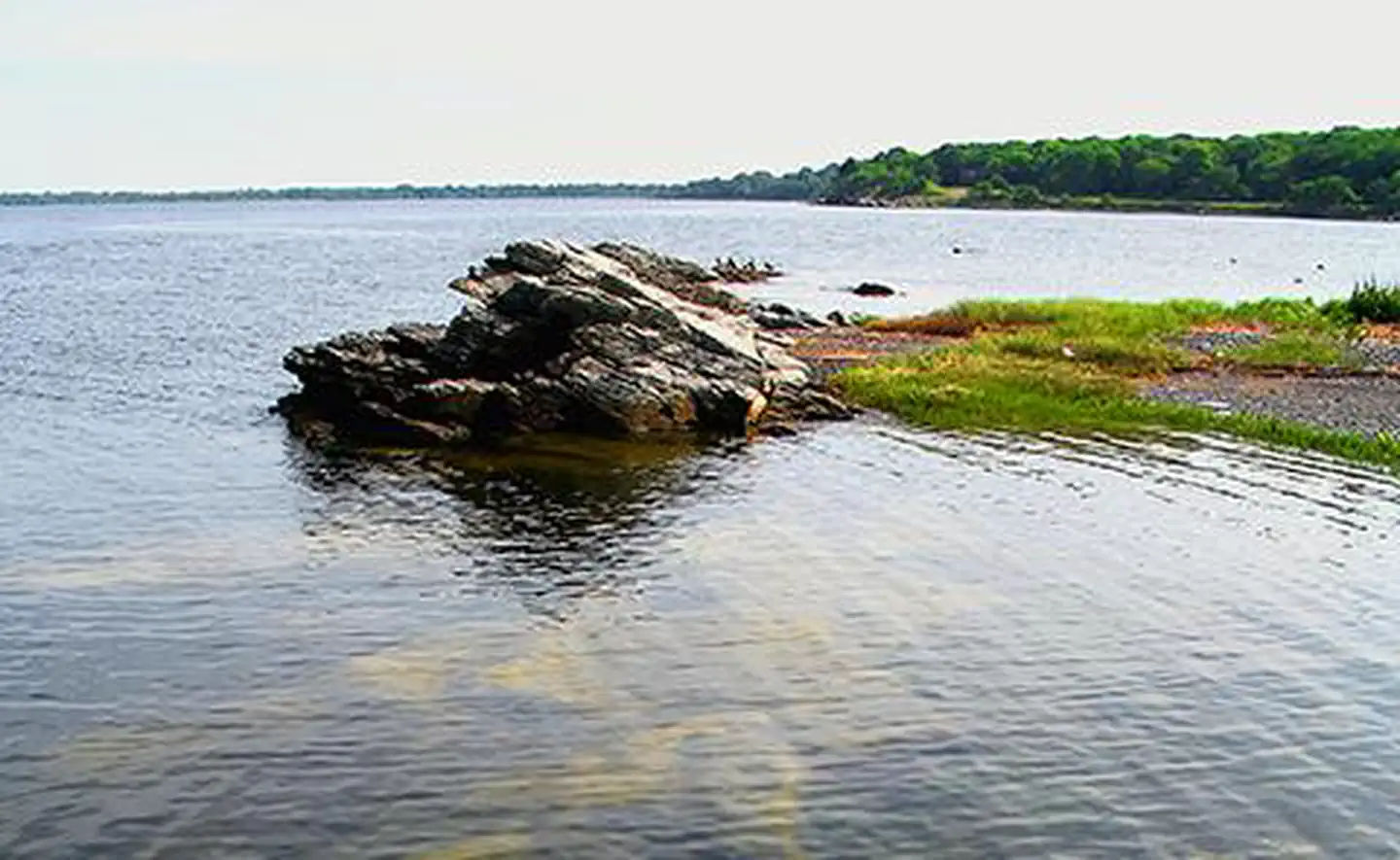
Photography of estuarine habitat and bay views across to the Rhode Island mainland
Editor's tipAccess to Prudence Island is exclusively via ferry from Bristol; careful itinerary planning around the ferry schedule is therefore essential. Visitors should arrive self-sufficient for the day, as on-island services are extremely limited. Pack all provisions, including food, water, and any necessary gear.
How we scored it
Behind the 49
The number is not a mood. It is a few things we can actually check in public records, added up and capped so no single one runs away with the total. It tracks how much a place has going on and how easy it is to reach, and nothing about scenery or crowds. Here is what added up to 49:
Activity breadth7 documented activities
Topic breadth0 topics
Official imagery2 public-domain images
Camping on sitenone recorded
Entry costfree
No number is hand-adjusted and no unit pays for placement. The full weights, the floor at 18 and a worked example are on how we score.
The honest limits
What the number leaves out
Worth saying plainly: this number only knows what the data shows, which is breadth and access. It has no idea whether the scenery is jaw-dropping, whether the lot is a zoo in July, what shape the trails are in, or how good the guided walks are. So do not read a lower score as a worse day out. A focused little site can beat a big all-rounder for the right person. Compare the numbers for what is on offer, then read the verdict for who each place actually suits.
Overview
About Narragansett Bay National Estuarine Research Reserve
The Reserve covers 2,579 acres across Prudence, Patience, Hope, and Dyer islands. It also includes 1,843 acres of adjoining water, up to 18 feet deep.
Prudence Island is the only one of the four islands that is inhabited and accessible. It has undergone significant changes over centuries. Since the 1600s, Native Americans, tenant farmers, British soldiers, and wealthy summer residents have used the island. Today, it has both year-round and summer residents. The U.S. military maintained a presence on Prudence Island during World War II. The Navy stayed until 1972, when the land transferred to the state of Rhode Island.
Prudence Island offers diverse habitats. These range from rocky shoreline and pine barrens to deciduous oak forests, freshwater swamps, salt marshes, and coastal grasslands. These areas support various wildlife, including a large population of white-tailed deer. Ticks are common on Prudence Island. Exercise caution when exploring, even on marked trails.
On documented breadth and access, Narragansett Bay National Estuarine Research Reserve ranks 3rd of 6 park and public-land units we score in Rhode Island.
Narragansett Bay National Estuarine Research Reserve: quick answers
Is Narragansett Bay National Estuarine Research Reserve worth visiting?
The Narragansett Bay Reserve offers a quiet, ferry-dependent escape centered on Prudence Island.
Is Narragansett Bay National Estuarine Research Reserve free to visit?
No charge at the gate.
What is Narragansett Bay National Estuarine Research Reserve best for?
It leans hardest toward hiking, water activities, biking, going by the 7 activities it actually documents.
How is the Experience Score for Narragansett Bay National Estuarine Research Reserve calculated?
The 49 comes straight from public data on how much the place documents and how easy it is to reach, things like activities, topics, photos, camping and whether entry is free. It says nothing about scenery or how busy it gets.
Reviewed by Irene A. Taranina, founding editor/Checked against official public data/Published /Updated /Independent, no sponsored rankings
parkverdict is an independent digital publication. Not affiliated with the National Park Service.